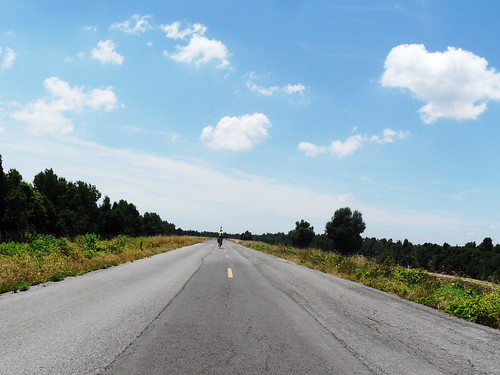
Elevation of New Madrid Seismic Zone, New Madrid Township, MO, USA
Location: United States > Missouri > New Madrid County >
Longitude: -89.587729
Latitude: 36.5829687
Elevation: -10000m / -32808feet
Barometric Pressure: 295KPa
Related Photos:
Topographic Map of New Madrid Seismic Zone, New Madrid Township, MO, USA
Find elevation by address:

Places near New Madrid Seismic Zone, New Madrid Township, MO, USA:
New Madrid
Canalou
Van Buren St, Canalou, MO, USA
Como Township
E Main St, Parma, MO, USA
Parma
West Township
State Hwy D, Parma, MO, USA
East Prairie
Sikeston
E Front St, Sikeston, MO, USA
Selma Street
1100 W Wakefield Ave
St. James Township
905 Westview Dr
MO-, Essex, MO, USA
State Hwy H, Miner, MO, USA
MO-, East Prairie, MO, USA
Richland Township
State Hwy Y, Sikeston, MO, USA
Recent Searches:
- Elevation of Corso Fratelli Cairoli, 35, Macerata MC, Italy
- Elevation of Tallevast Rd, Sarasota, FL, USA
- Elevation of 4th St E, Sonoma, CA, USA
- Elevation of Black Hollow Rd, Pennsdale, PA, USA
- Elevation of Oakland Ave, Williamsport, PA, USA
- Elevation of Pedrógão Grande, Portugal
- Elevation of Klee Dr, Martinsburg, WV, USA
- Elevation of Via Roma, Pieranica CR, Italy
- Elevation of Tavkvetili Mountain, Georgia
- Elevation of Hartfords Bluff Cir, Mt Pleasant, SC, USA


