Elevation of New Hartford, MO, USA
Location: United States > Missouri > Pike County >
Longitude: -91.2701491
Latitude: 39.1994872
Elevation: 184m / 604feet
Barometric Pressure: 0KPa
Related Photos:

Wispy Roads
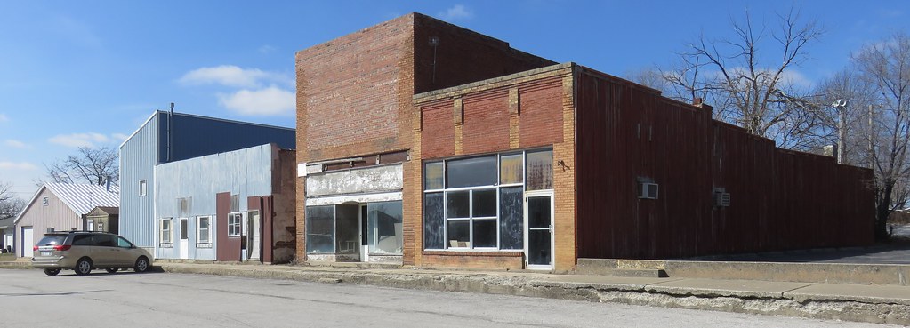
Storefront Block (Middletown, Missouri)
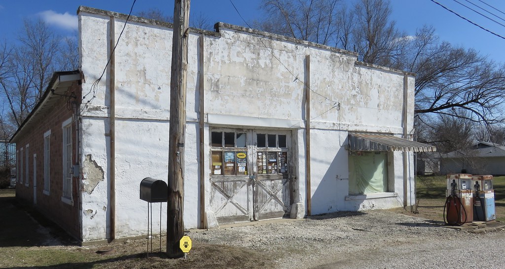
Old Service Station (Middletown, Missouri)
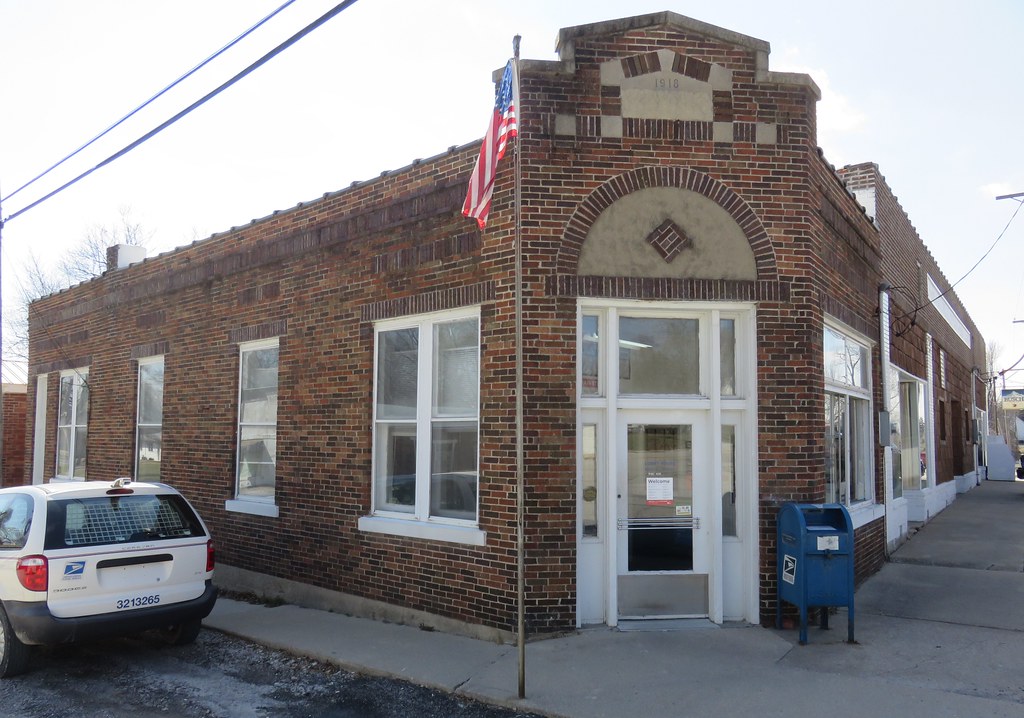
Post Office 63359 (Middletown, Missouri)
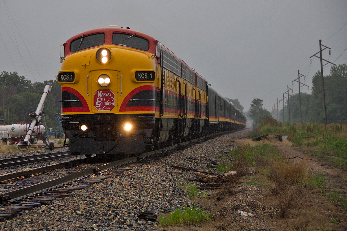
KCS 1

Popo and Mammie's old place

Popo and Mammie's old place

Popo and Mammie's old house

Portrait of the Milky Way

Light Battle

The Milky Way Rears Its Lighted Head

Grainy and Firey

First Try With the Wand of Fire

Firework Part 1

Learning the Wand of Fire

The Column of Fire

Doh!
Macedonia Cemetery

Gone but not forgotten
Topographic Map of New Hartford, MO, USA
Find elevation by address:

Places near New Hartford, MO, USA:
Cuivre Township
State Highway Hh
Bowling Green
E Main St, Curryville, MO, USA
Curryville
Pike, Bowling Green, MO, USA
Truxton
Spencer Township
Millwood Township
New Truxton
Silex
Buffalo Township
State Hwy JJ, High Hill, MO, USA
Bear Creek Township
Bear Creek Township
Union Township
55 Brake Rd
Paris Branch Rd, Troy, MO, USA
59 Elsie Ln, Troy, MO, USA
Davis
Recent Searches:
- Elevation map of Litang County, Sichuan, China
- Elevation map of Madoi County, Qinghai, China
- Elevation of 3314, Ohio State Route 114, Payne, Paulding County, Ohio, 45880, USA
- Elevation of Sarahills Drive, Saratoga, Santa Clara County, California, 95070, USA
- Elevation of Town of Bombay, Franklin County, New York, USA
- Elevation of 9, Convent Lane, Center Moriches, Suffolk County, New York, 11934, USA
- Elevation of Saint Angelas Convent, 9, Convent Lane, Center Moriches, Suffolk County, New York, 11934, USA
- Elevation of 131st Street Southwest, Mukilteo, Snohomish County, Washington, 98275, USA
- Elevation of 304, Harrison Road, Naples, Cumberland County, Maine, 04055, USA
- Elevation of 2362, Timber Ridge Road, Harrisburg, Cabarrus County, North Carolina, 28075, USA
- Elevation of Ridge Road, Marshalltown, Marshall County, Iowa, 50158, USA
- Elevation of 2459, Misty Shadows Drive, Pigeon Forge, Sevier County, Tennessee, 37862, USA
- Elevation of 8043, Brightwater Way, Spring Hill, Williamson County, Tennessee, 37179, USA
- Elevation of Starkweather Road, San Luis, Costilla County, Colorado, 81152, USA
- Elevation of 5277, Woodside Drive, Baton Rouge, East Baton Rouge Parish, Louisiana, 70808, USA
- Elevation of 1139, Curtin Street, Shepherd Park Plaza, Houston, Harris County, Texas, 77018, USA
- Elevation of 136, Sellers Lane, Repton, Monroe County, Alabama, 36475, USA
- Elevation of 12914, Elmington Drive, Lakewood Forest, Houston, Harris County, Texas, 77429, USA
- Elevation of 417, Camelot Drive, Statesville, Iredell County, North Carolina, 28625, USA
- Elevation of 5792, Wildridge Road, Avon, Eagle County, Colorado, 81620, USA