Elevation of Neil Circle Rd S, Tonasket, WA, USA
Location: United States > Washington > Okanogan County > Tonasket >
Longitude: -119.09376
Latitude: 48.6101323
Elevation: 918m / 3012feet
Barometric Pressure: 91KPa
Elevation Map:
Satellite Map:
Related Photos:

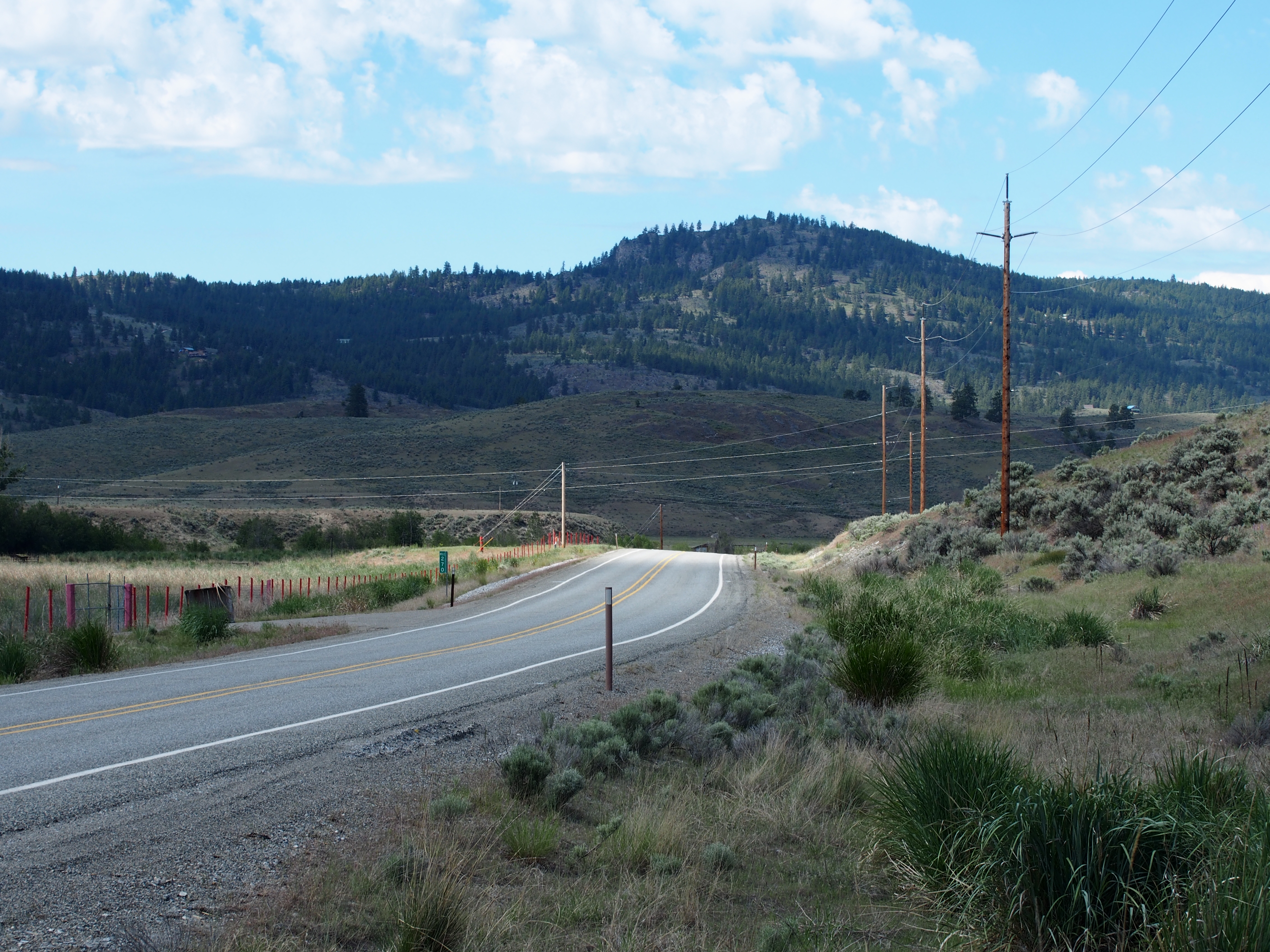
DSC04832.jpg

The Pflug Mansion

Aeneas Valley Road near Highway 20
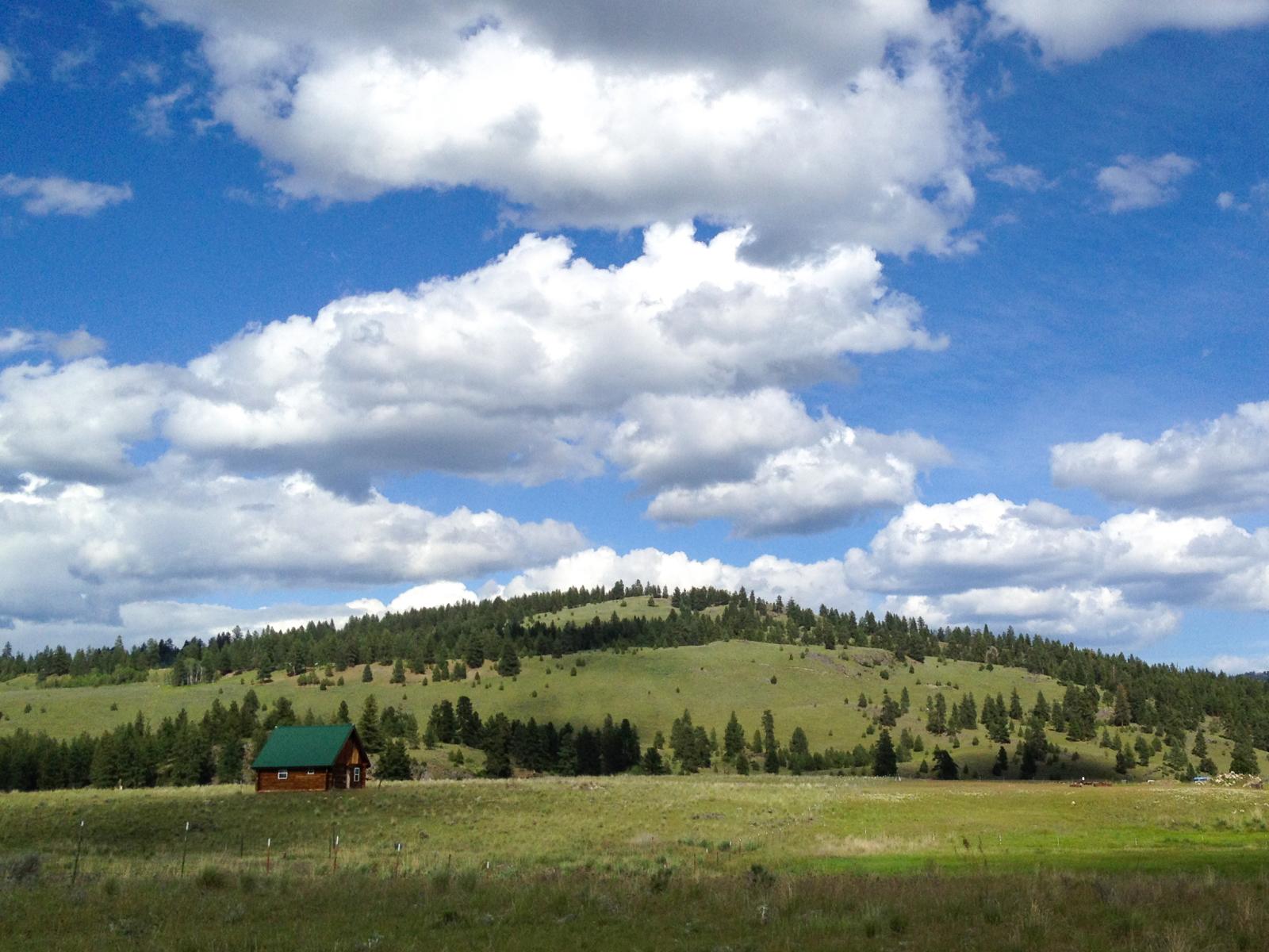
Ranch near Aeneas, Washington
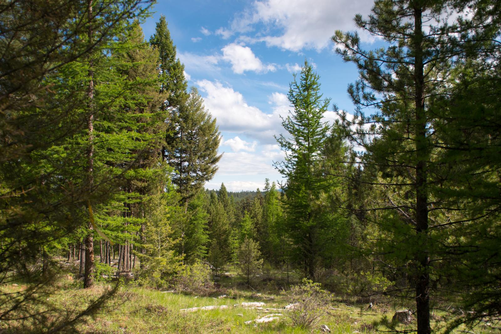
Okanogan National Forest near Fir Mountain
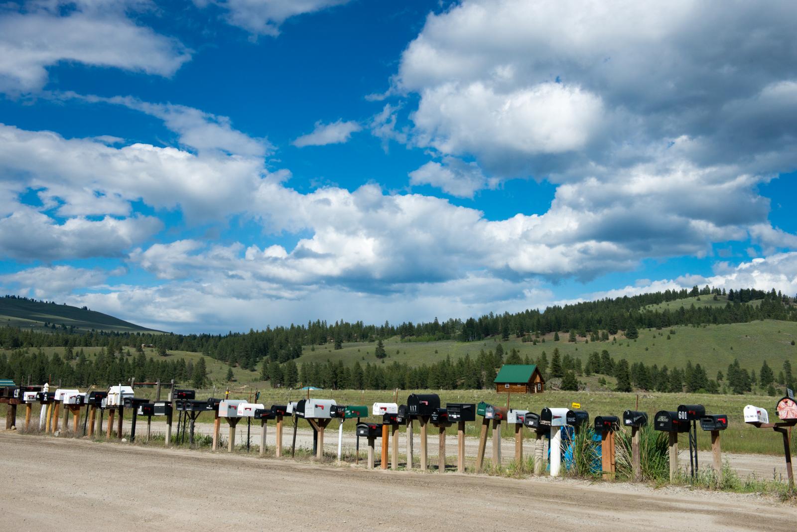
long row of mailboxes on Aeneas Valley Road
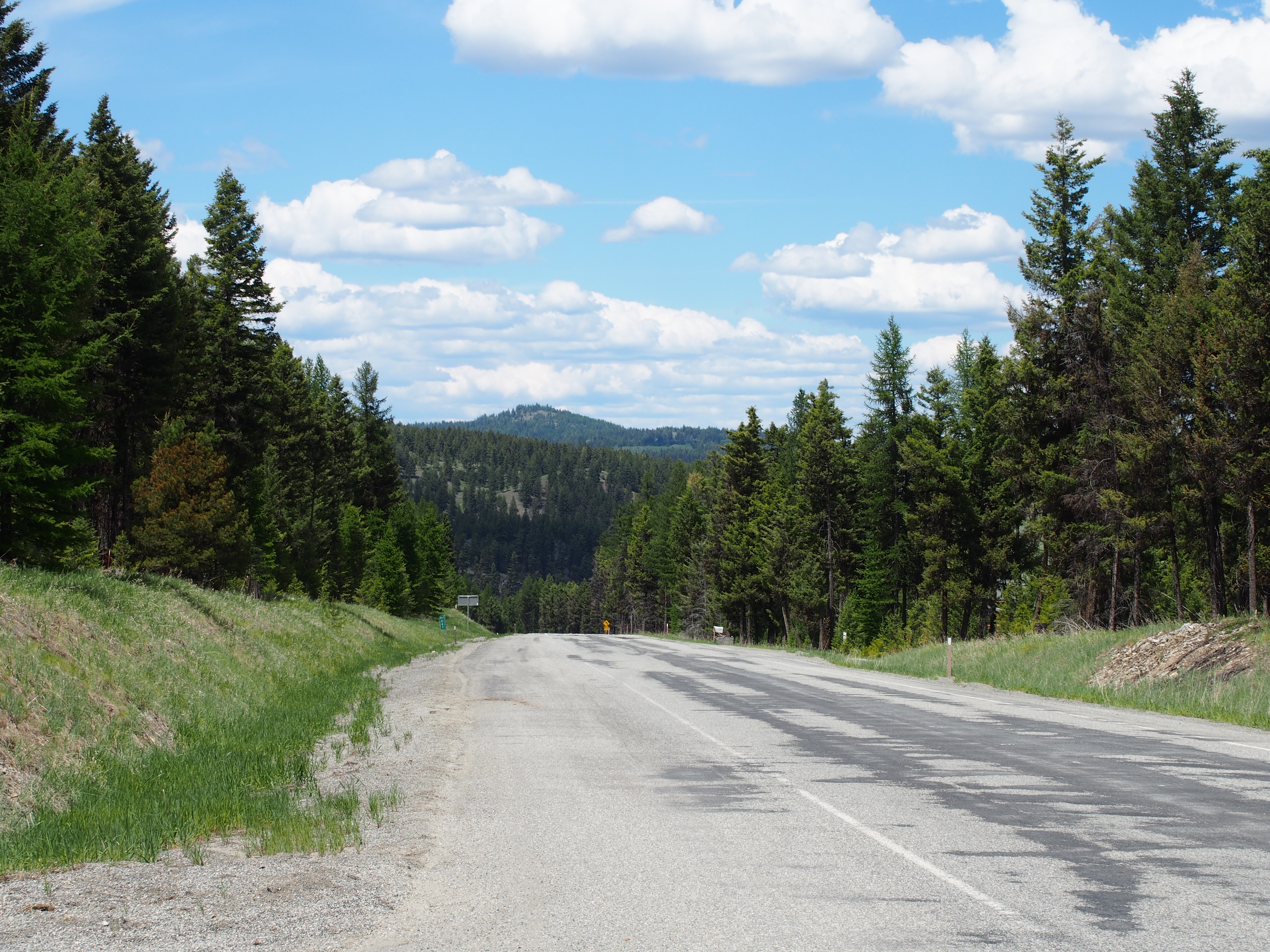
SR-20 at Wauconda Pass

SR-20

SR-20
SR-20
Topographic Map of Neil Circle Rd S, Tonasket, WA, USA
Find elevation by address:

Places near Neil Circle Rd S, Tonasket, WA, USA:
183 Neil Circle Rd S
183 Neil Circle Rd S
183 Neil Circle Rd S
196 Neil Circle Rd S
196 Neil Circle Rd S
196 Neil Cir S Rd
251 Neil Cir S Rd
151 Cape Labelle Rd
Neil Canyon Road
670 Aeneas Valley Rd
361 Neil Cir S Rd
48 Long Lake Ln
Main Road
153 High Country Dr W
16 Breezy Ln
50 Bailey Meadows Rd
47 Bailey Meadows Rd
Highvalley Road
1241 Aeneas Valley Rd
1241 Aeneas Valley Rd
Recent Searches:
- Elevation of Corso Fratelli Cairoli, 35, Macerata MC, Italy
- Elevation of Tallevast Rd, Sarasota, FL, USA
- Elevation of 4th St E, Sonoma, CA, USA
- Elevation of Black Hollow Rd, Pennsdale, PA, USA
- Elevation of Oakland Ave, Williamsport, PA, USA
- Elevation of Pedrógão Grande, Portugal
- Elevation of Klee Dr, Martinsburg, WV, USA
- Elevation of Via Roma, Pieranica CR, Italy
- Elevation of Tavkvetili Mountain, Georgia
- Elevation of Hartfords Bluff Cir, Mt Pleasant, SC, USA