Elevation map of Neamț County, Romania
Location: Romania >
Longitude: 26.3818764
Latitude: 46.9758685
Elevation: 409m / 1342feet
Barometric Pressure: 97KPa
Elevation Map:
Satellite Map:
Related Photos:
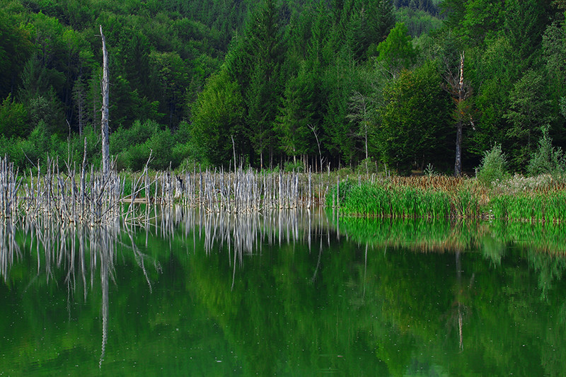
Green Reflection

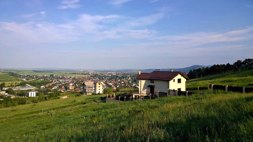
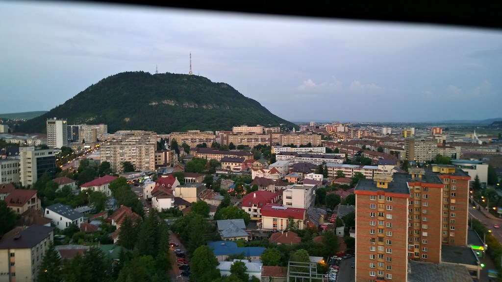
Piatra Neamt - view from the top Pietricica - Romania
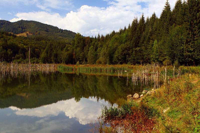
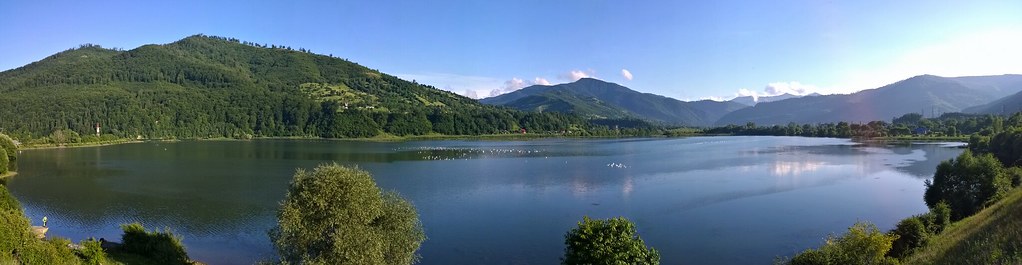
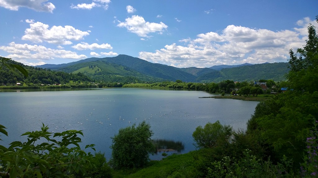
Cuejdel Lake

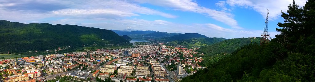
Piatra Neamt - view from the top Pietricica

Piatra Neamt - view from the top Pietricica
Piatra Neamt - view from the top Pietricica

Piatra Neamt - view from the top Pietricica
Piatra Neamt - view from the top Pietricica
Piatra Neamt - view from the top Pietricica
Piatra Neamt - view from the top Pietricica
Piatra Neamt - view from gondola

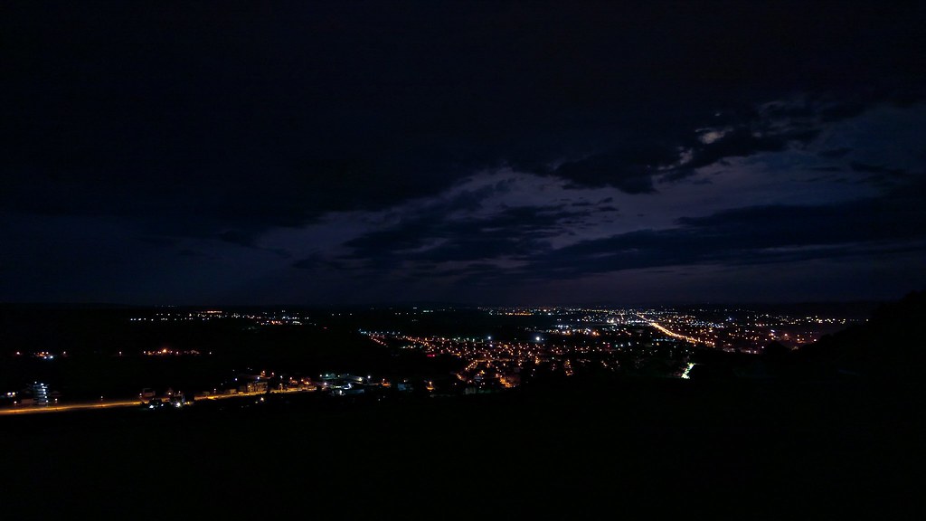
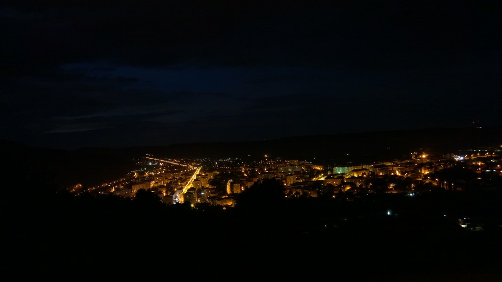
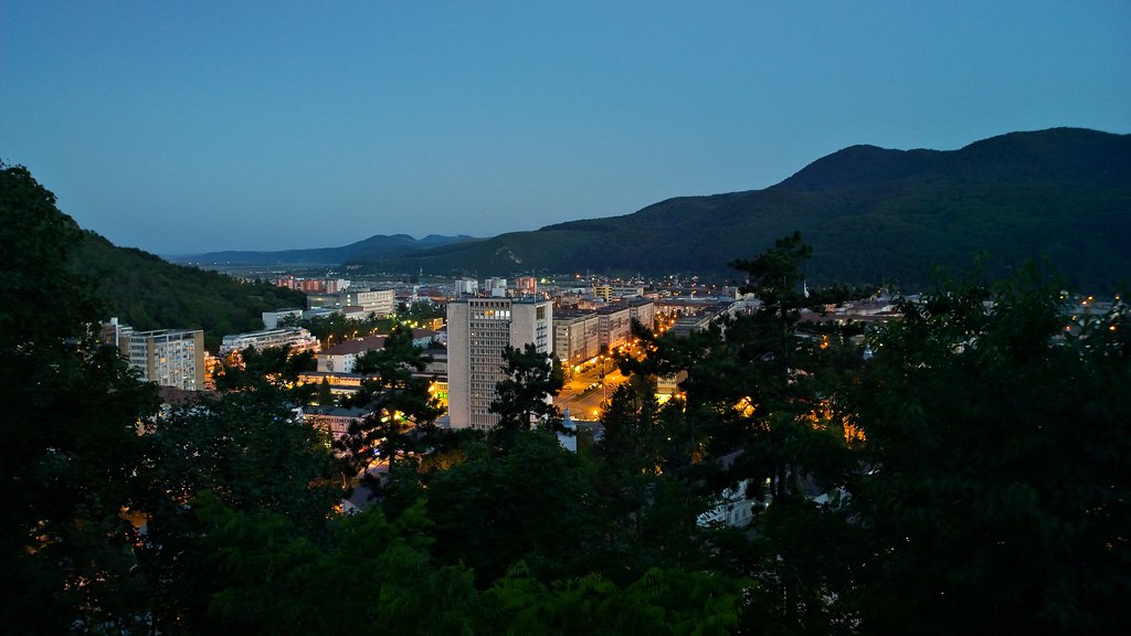
Light in dark

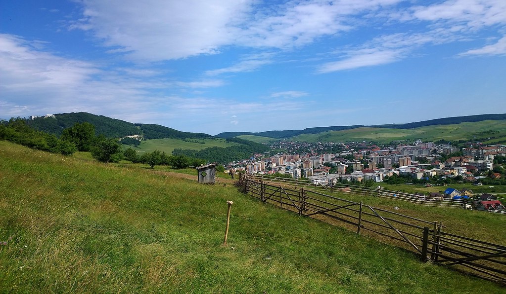
Piatra Neamt city - Romania

Nokia Lumia 1020
Nokia Lumia 1020 panorama
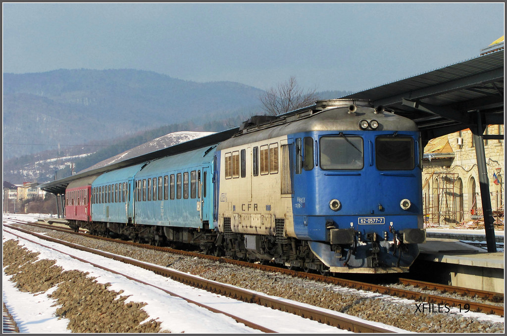
62-0577-7
Nokia Lumia 1020_Panorama
Piatra Neamt

it's already autumn
Piatra Neamt/Romania
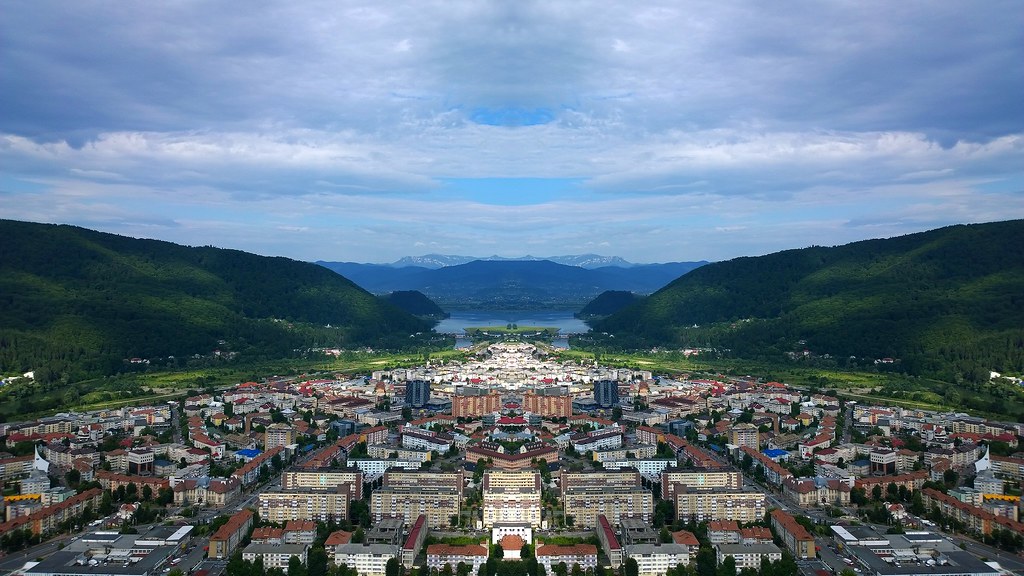
Piatra Neamt - panorama
My childhood's home

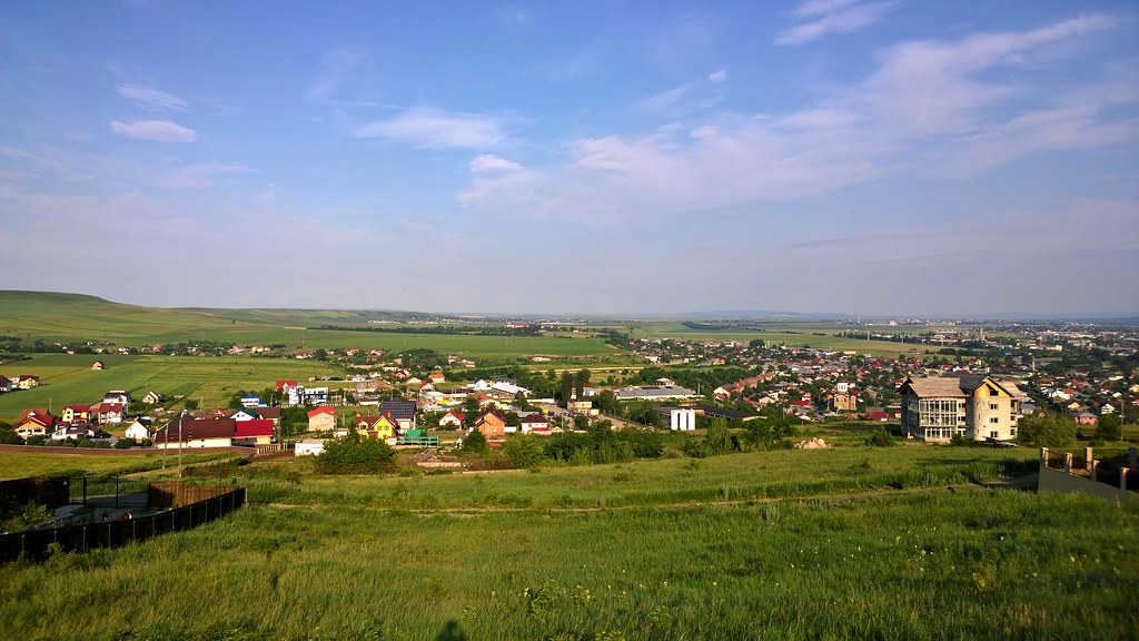
Neamt - Romania
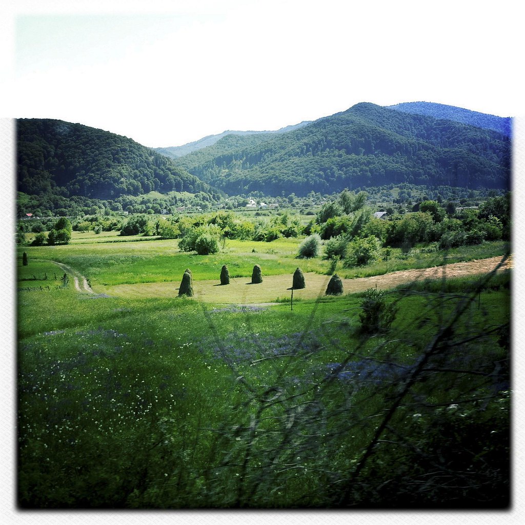
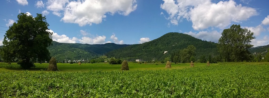
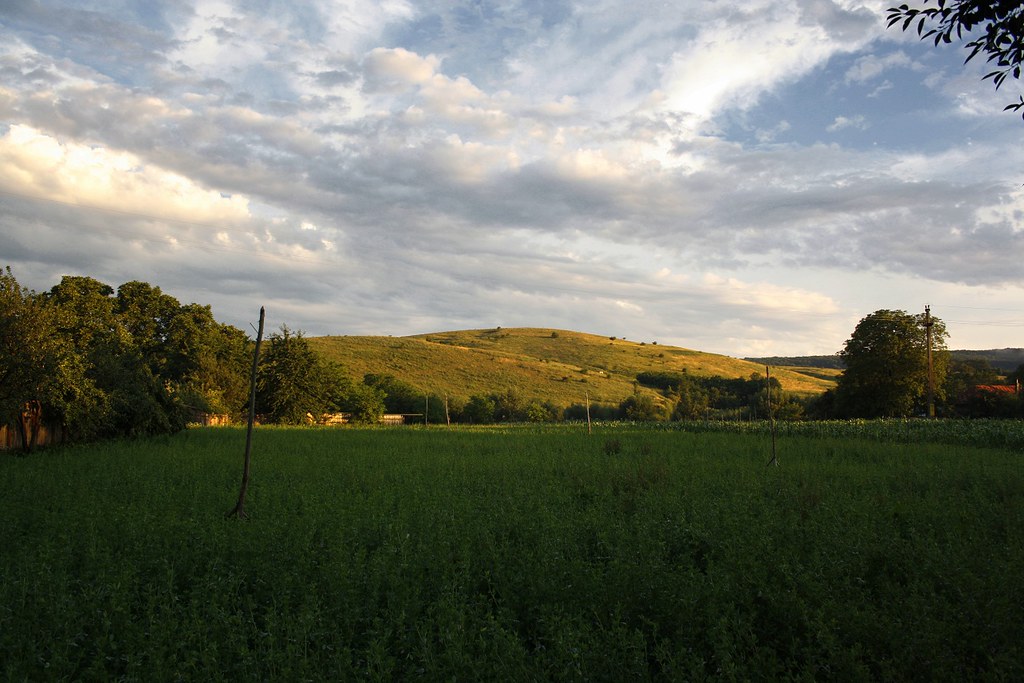
Hay in the Valley

_MG_0851 1
Nokia Lumia 1020

Neamț Monastery
Pangarati Neamt

the bee
Topographic Map of Neamț County, Romania
Find elevation by address:

Places in Neamț County, Romania:
Ceahlau
Tazlau
Piatra Neamt
Poiana Teiului
Bicaz
Baltatesti
Ion Creangă
Pasul Bicaz
Bârnadu
Bicazu Ardelean
Ticoș
Tasca
Valea Ursului
Places near Neamț County, Romania:
Piatra Neamț
Piatra Neamt
Baltatesti
Valea Seacă
Tazlau
Tazlău
Bicaz
Izvoru Muntelui
Tașca
Bicaz
Tasca
Cabana Izvorul Muntelui
Ceahlau
Ticoș
Ceahlău Massif
Cabana Dochia
Poiana Teiului
Durău
Bicazu Ardelean
Poiana Teiului
Recent Searches:
- Elevation of Corso Fratelli Cairoli, 35, Macerata MC, Italy
- Elevation of Tallevast Rd, Sarasota, FL, USA
- Elevation of 4th St E, Sonoma, CA, USA
- Elevation of Black Hollow Rd, Pennsdale, PA, USA
- Elevation of Oakland Ave, Williamsport, PA, USA
- Elevation of Pedrógão Grande, Portugal
- Elevation of Klee Dr, Martinsburg, WV, USA
- Elevation of Via Roma, Pieranica CR, Italy
- Elevation of Tavkvetili Mountain, Georgia
- Elevation of Hartfords Bluff Cir, Mt Pleasant, SC, USA