Elevation of NE th Ave, Battle Ground, WA, USA
Location: United States > Washington > Clark County > Battle Ground >
Longitude: -122.43057
Latitude: 45.7850039
Elevation: 167m / 548feet
Barometric Pressure: 99KPa
Elevation Map:
Satellite Map:
Related Photos:
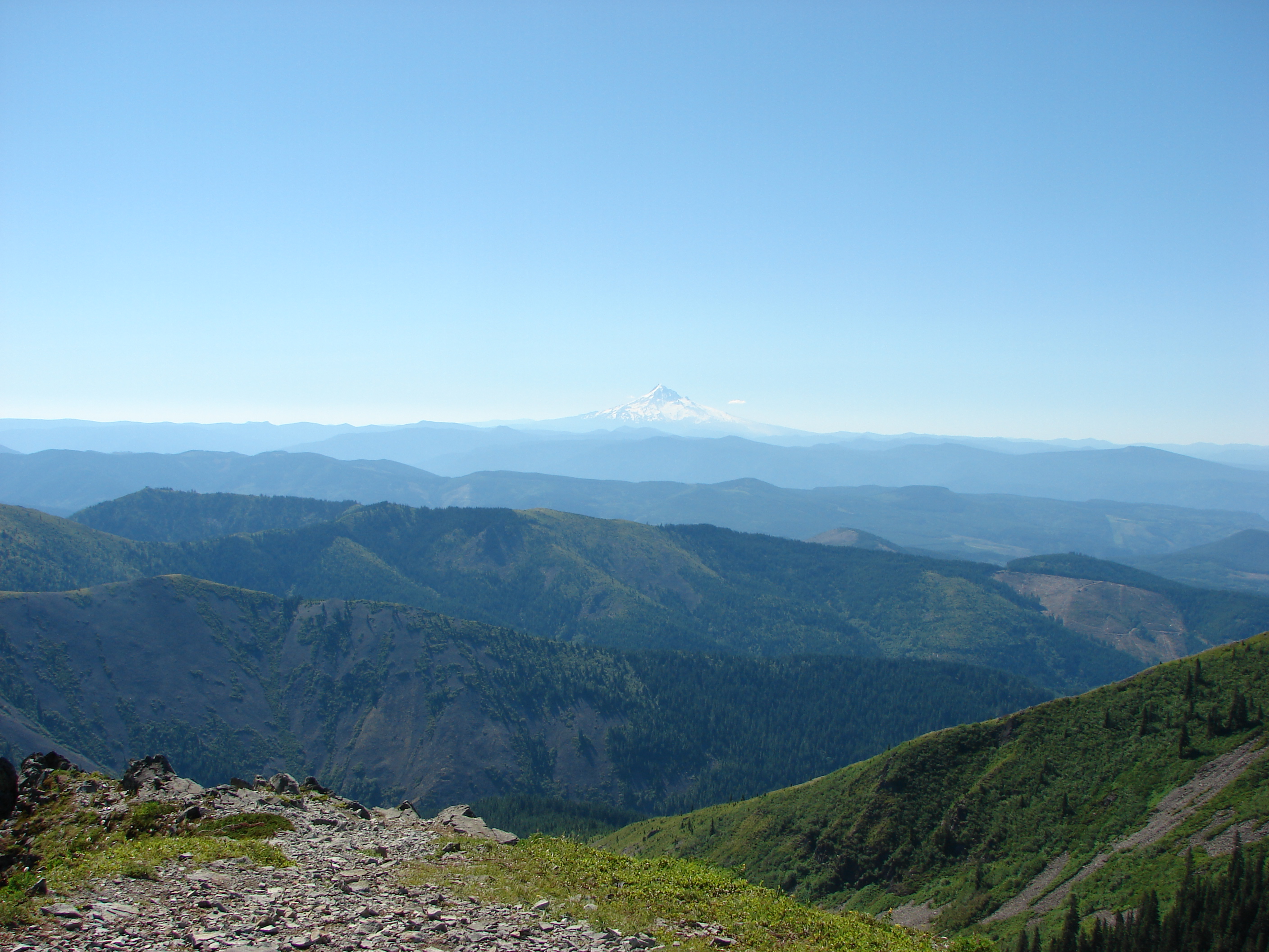
Mt Adams with Clouds
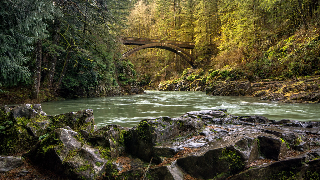
Moulton Falls Bridge

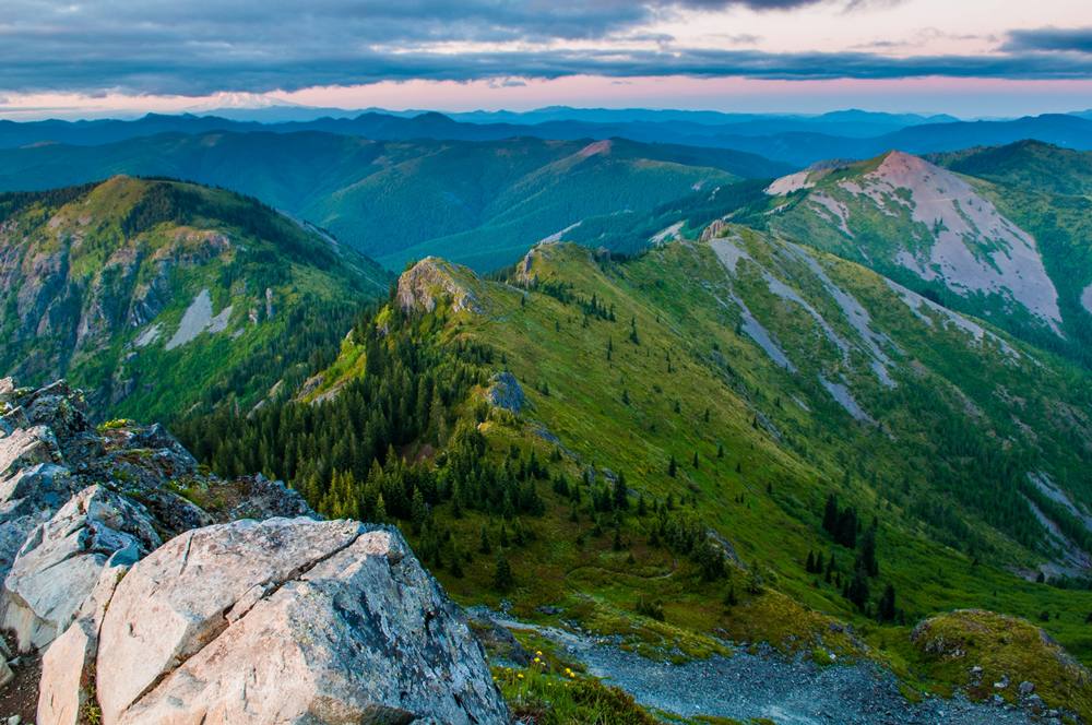
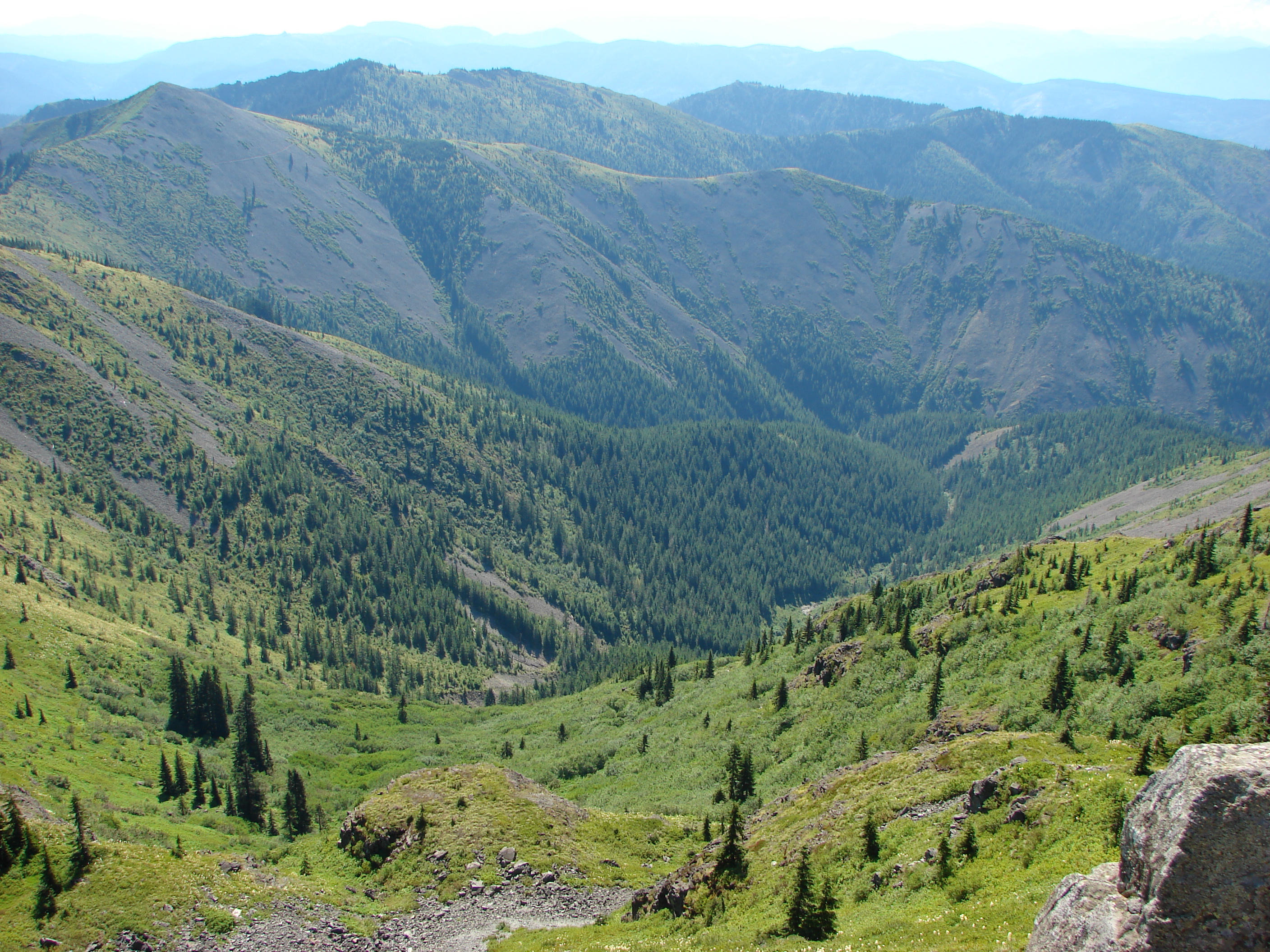
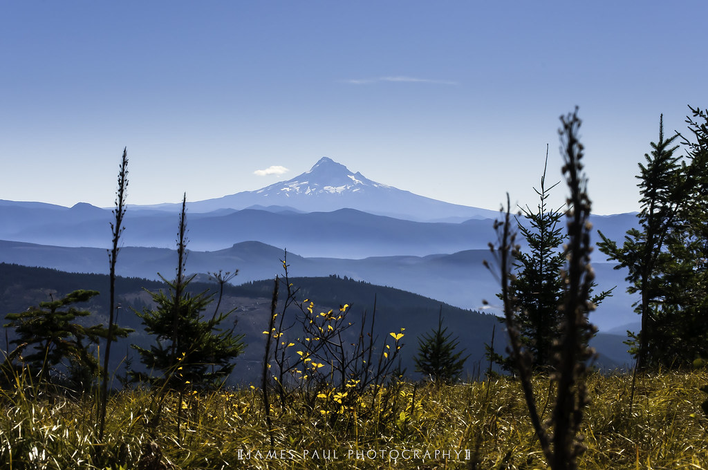
Gorge from a Distance

Clouds gathering & parting as the day passes by my window on the way to Camas, Washington. #washington #Camas #oregon #cloudstagram #cloudy #cloudporn #rsa_sky #rsa_nature #rsa_ladies #rsa_cloudchasers #sky #love #allshots_ #bluesky #spring #view #driving

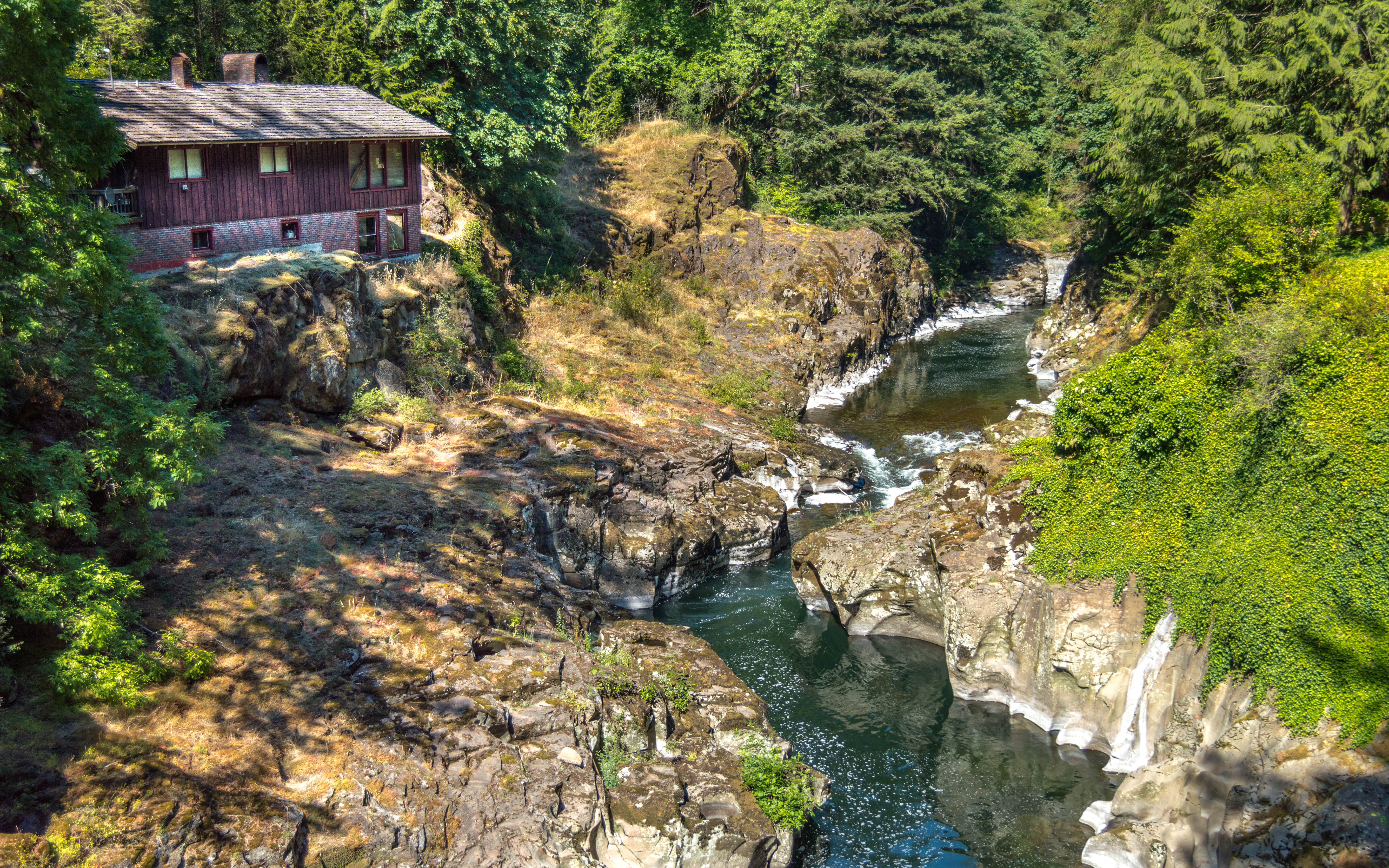
View from the ranch house

View from Ed' Trail
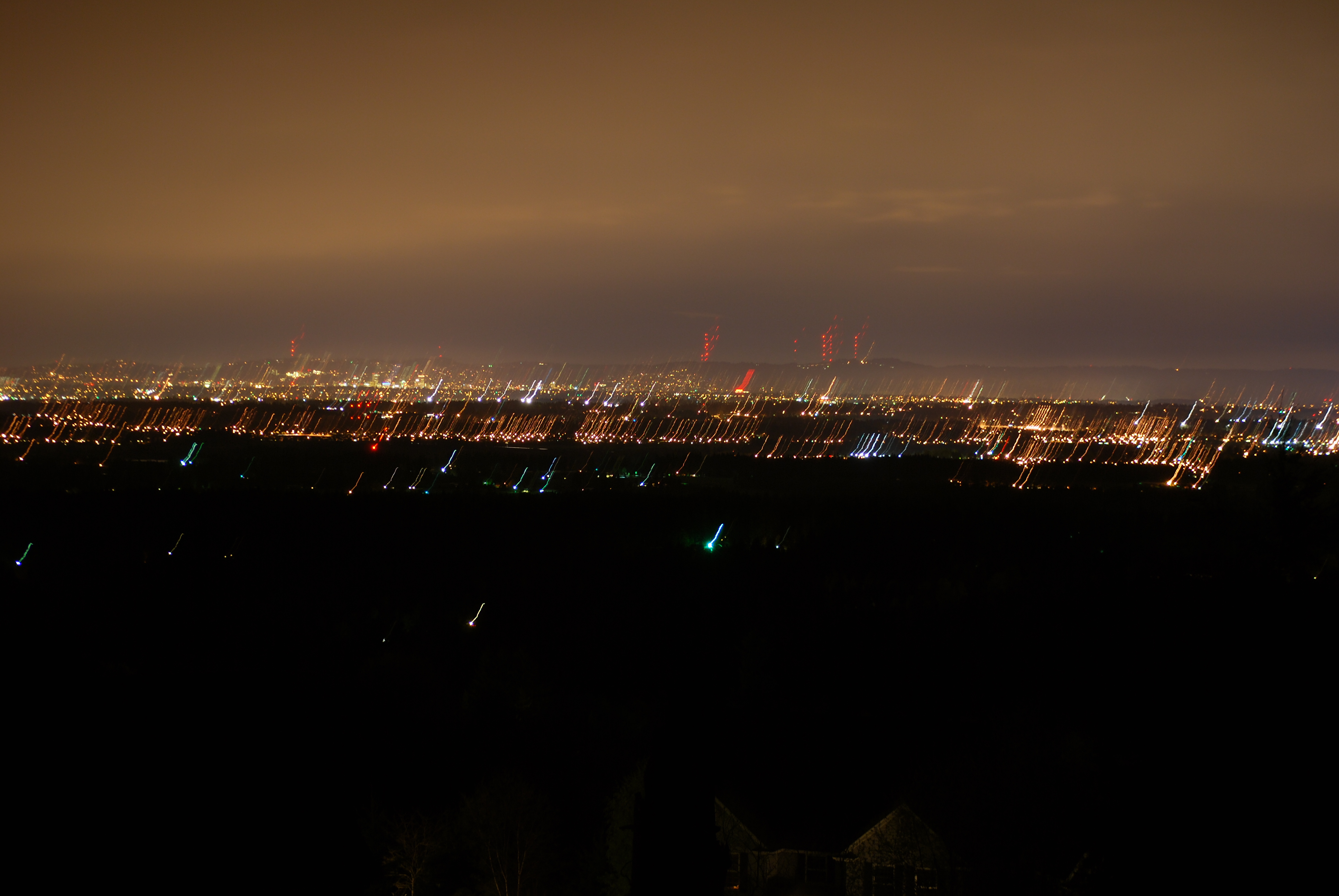
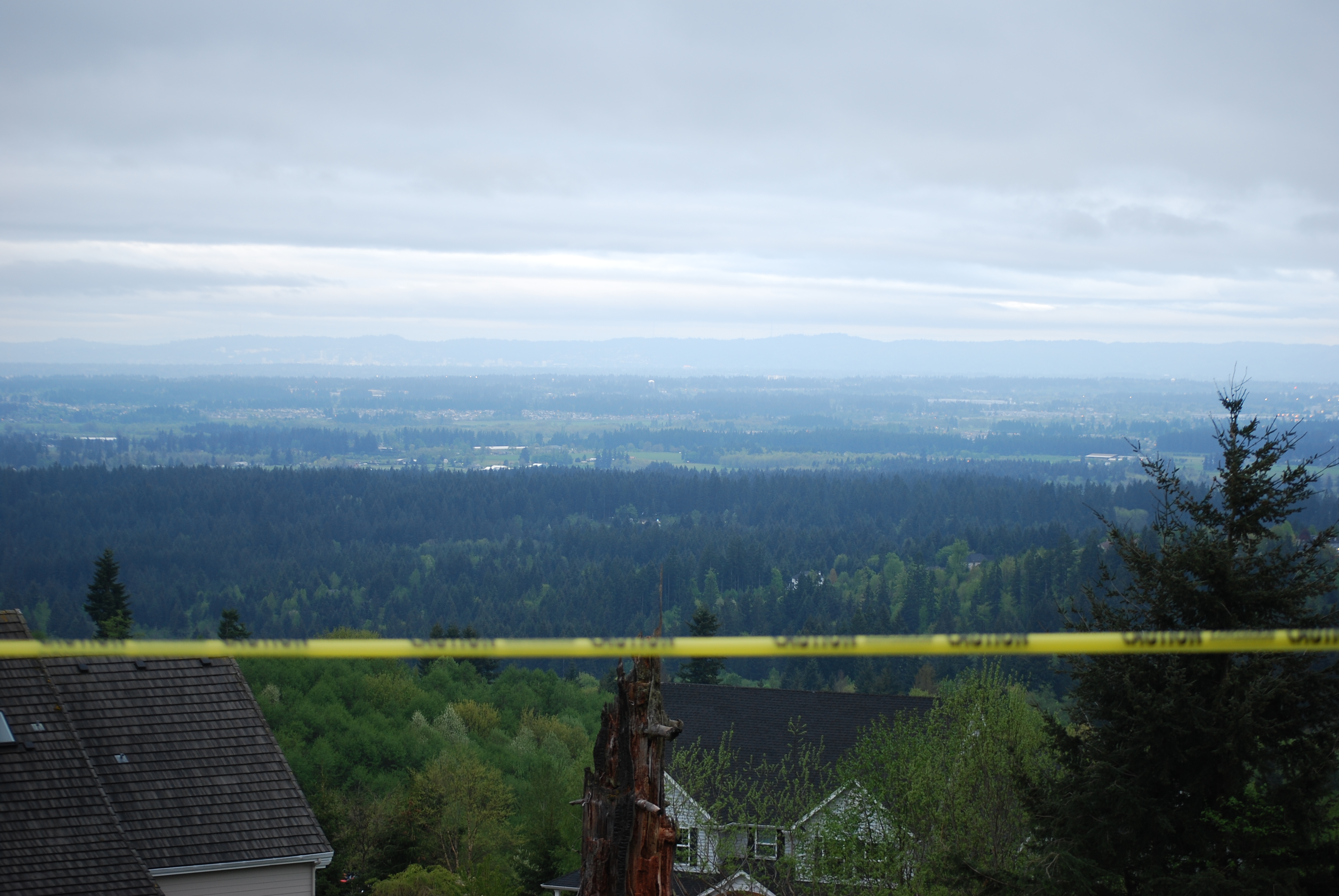
86/365 - Mar 28th, 2009 - Portland View
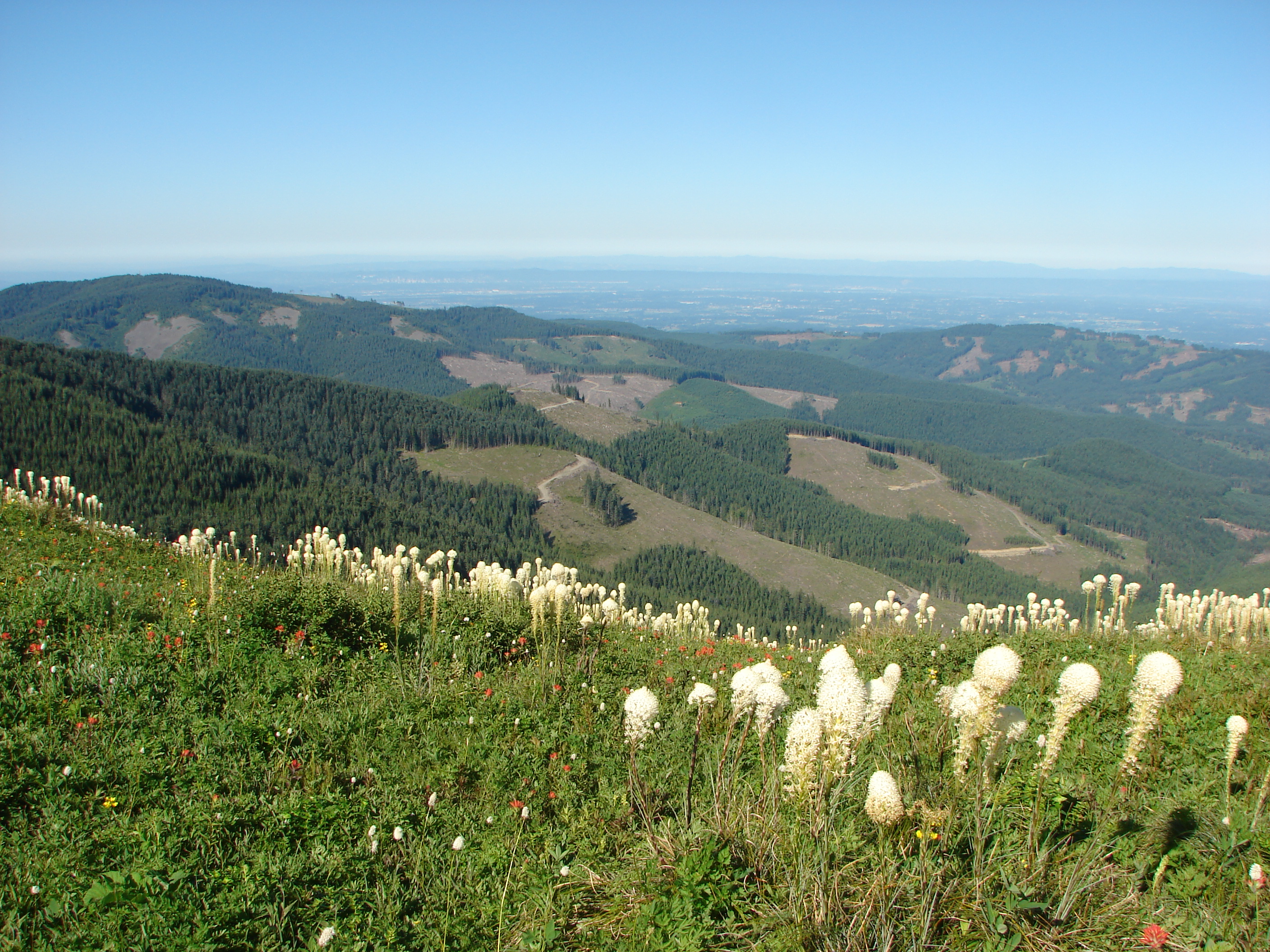
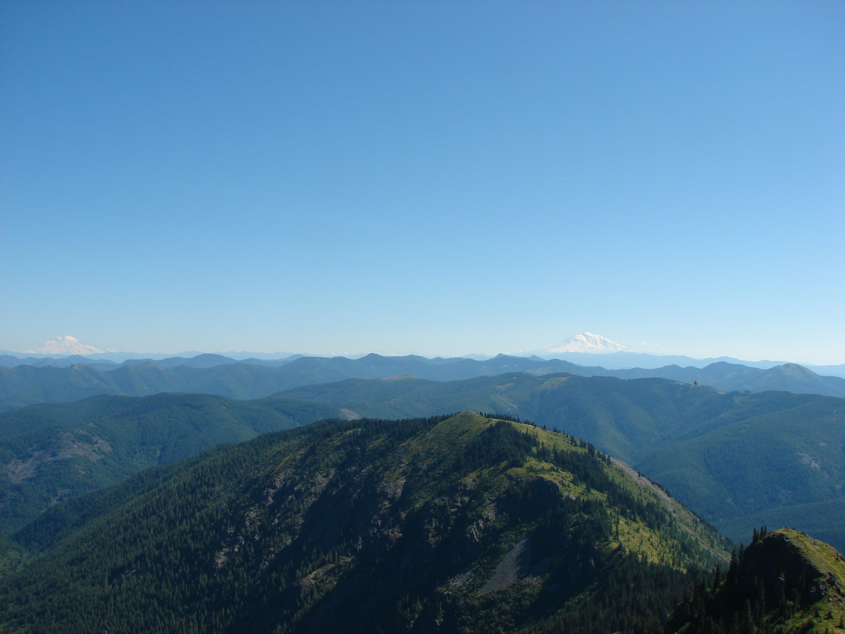
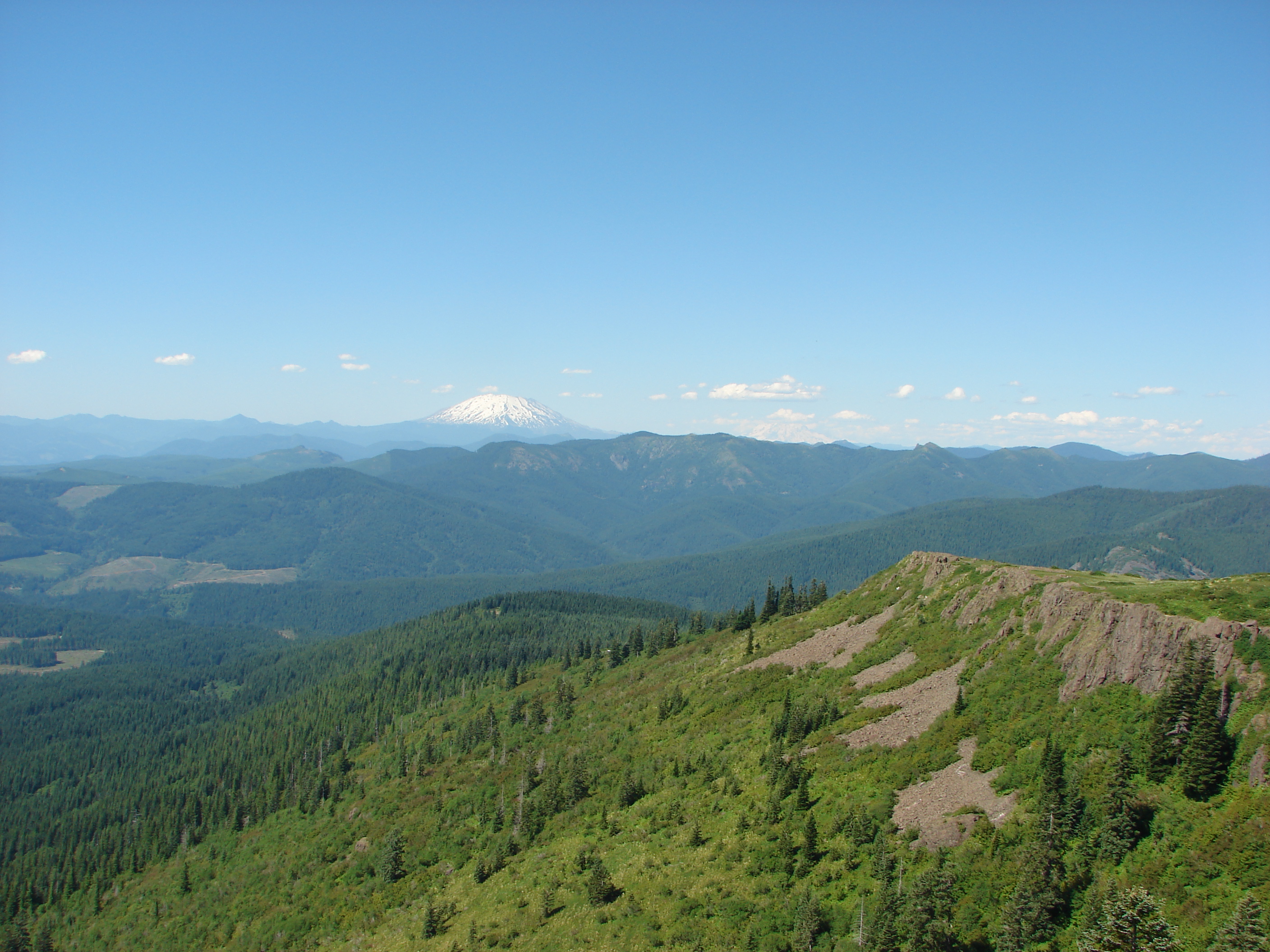
View from Silver Star Mountain
5/365 - Jan 6th, 2009 - Portland View
View from Ed' Trail
90/365 - April 1st,2009 - Portland View
77/365 - Mar 19th, 2009 - Portland View
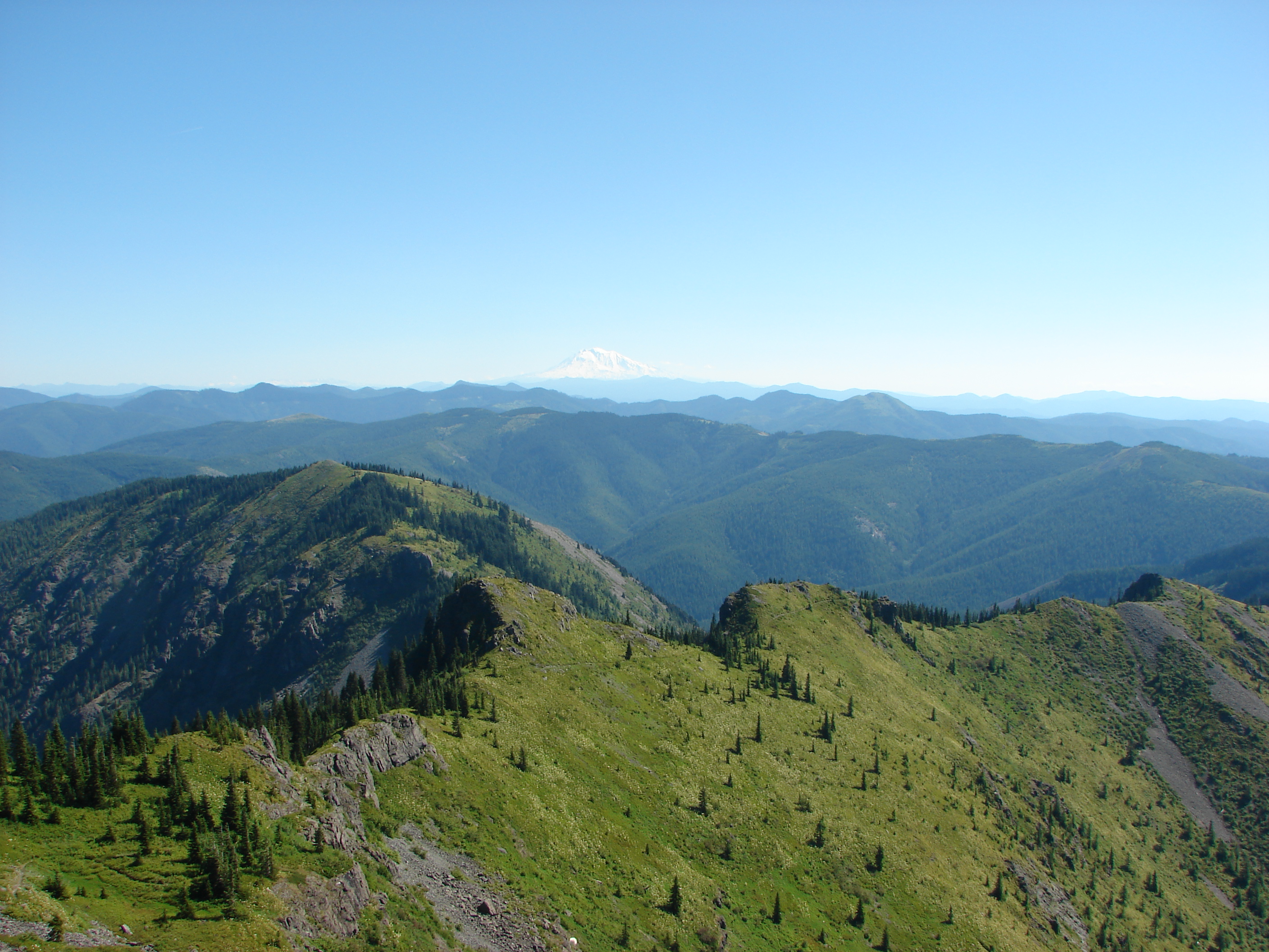
View from Silver Star Mountain
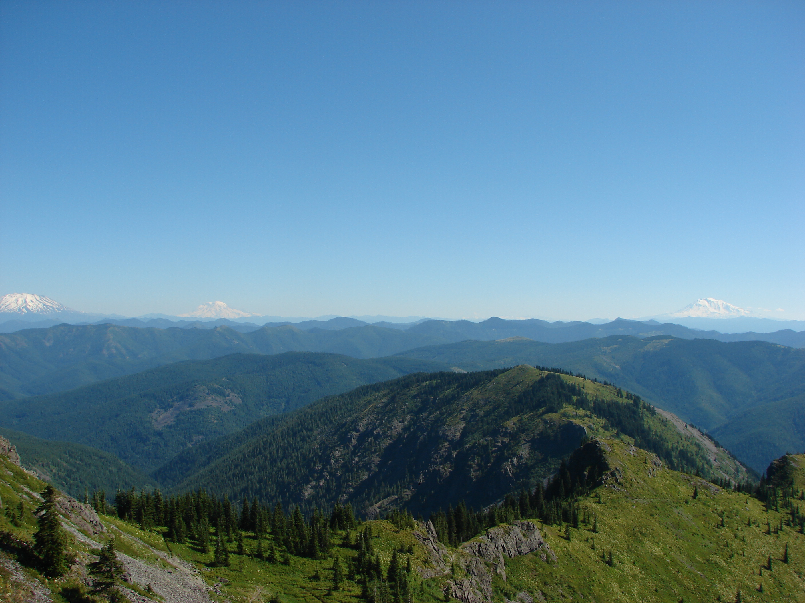
View from Silver Star Mountain

View from Ed' Trail
118/365 - Apr 29th, 2009 - Portland View
View from the Indian Pits Trail
130/365 - May 11th, 2009 - Portland View
View from the Chinook Trail
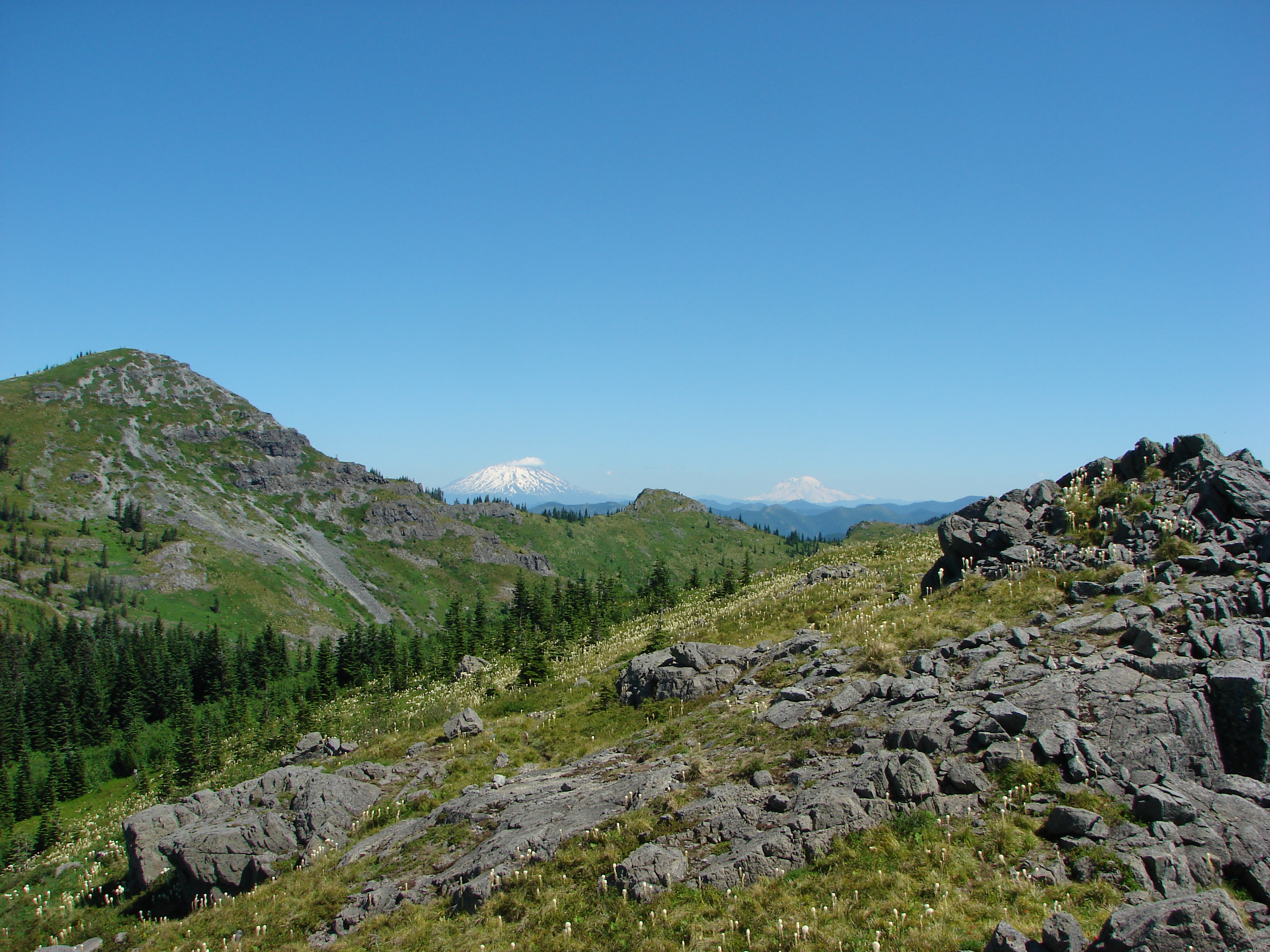
View from Silver Star Mountain
View from Silver Star Mountain
Through the looking glass
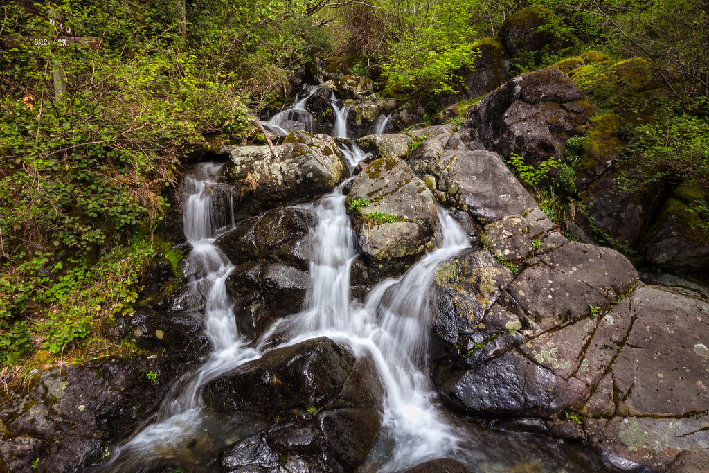
Rock Creek Falls

Lovely #scenery on our day trip to #Washington today. Q loved splashing around in the #water and finding #waterfalls . #summer #summertime
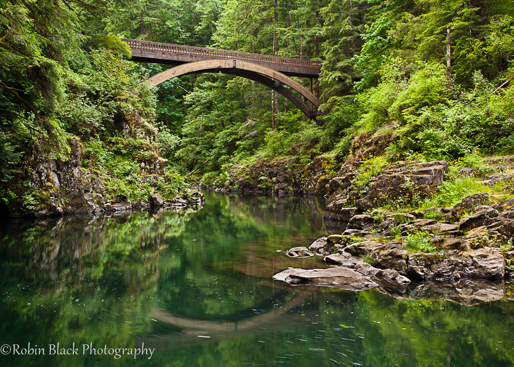
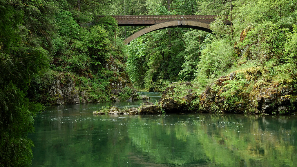
Footbridge, Moulton Falls State Park (WA)

Moulton Falls
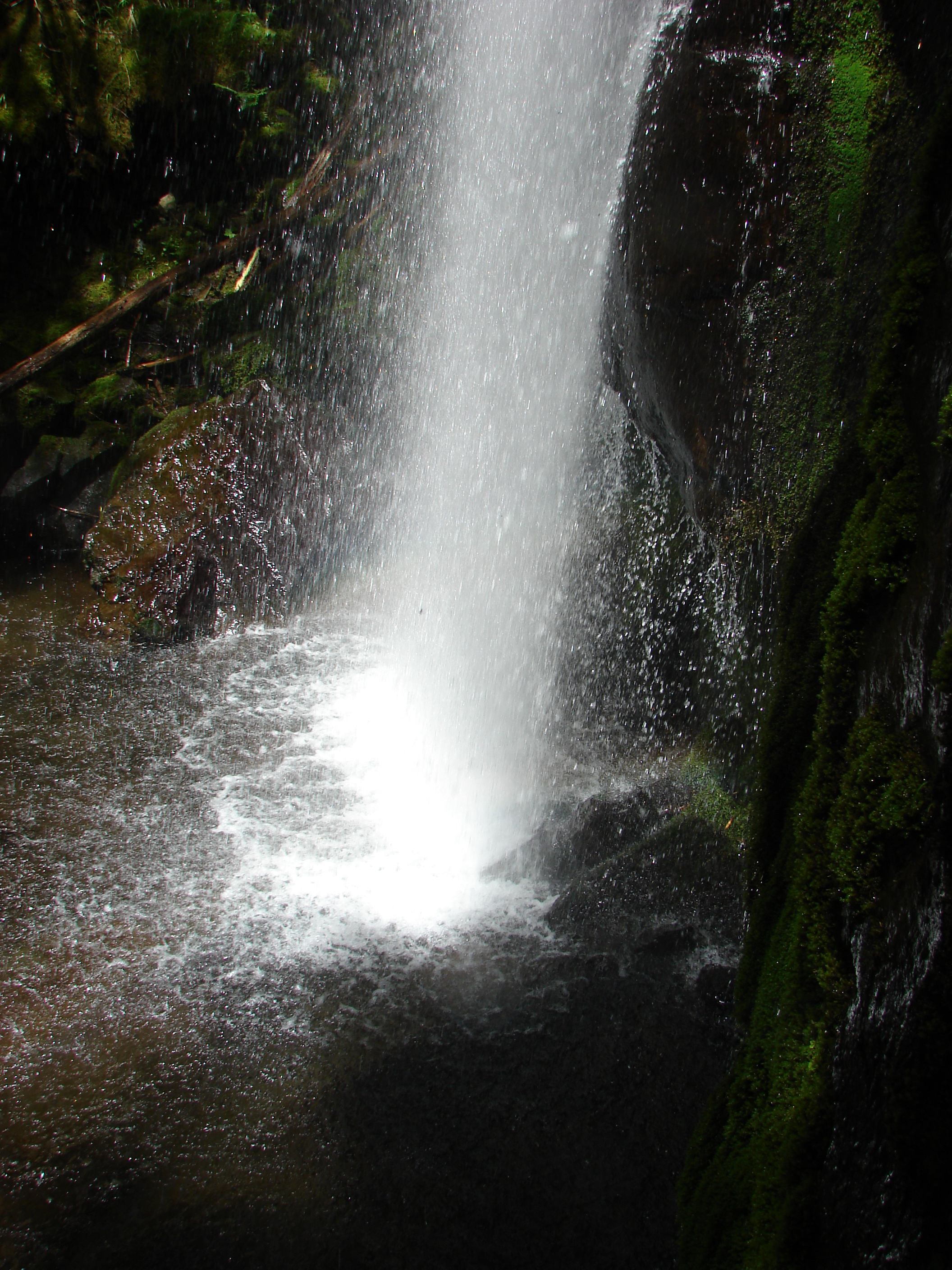
Hidden Falls
Majestic Hood
Writing With Light

Tarabell Trail
Bridge Over Lewis River
River House
Moulton falls
Hidden Falls

Fall Colors in Moulton Falls Park (Yakolt, WA)
Winter on the Lewis River
LuciaFalls-NV4_7041
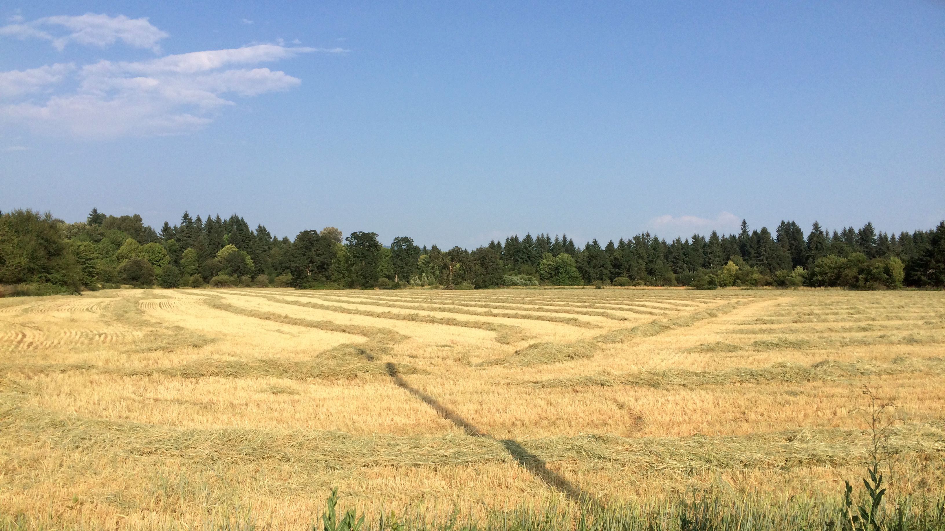
Golden Fields

Moulton Green
Topographic Map of NE th Ave, Battle Ground, WA, USA
Find elevation by address:

Places near NE th Ave, Battle Ground, WA, USA:
22103 Ne 237th Cir
22413 Ne 242nd Ave
24304 Ne 224th St
23741 Ne Canyon Rd
Northeast 223rd Court
23303 Ne 206th St
Northeast Berlin Road
22607 Ne Allworth Rd
Northeast 227th Street
25033 Ne Berry Rd
25215 Ne Berlin Rd
19909 Ne Bridlewood Rd
20300 Ne 225th Ave
22110 Ne 217th Ave
21711 Ne 212th Ave
22309 Ne 200th St
20614 Ne 256th Ave
19423 Ne Erion Rd
19411 Ne 227th Ct
19114 Ne 232nd Ave
Recent Searches:
- Elevation of Corso Fratelli Cairoli, 35, Macerata MC, Italy
- Elevation of Tallevast Rd, Sarasota, FL, USA
- Elevation of 4th St E, Sonoma, CA, USA
- Elevation of Black Hollow Rd, Pennsdale, PA, USA
- Elevation of Oakland Ave, Williamsport, PA, USA
- Elevation of Pedrógão Grande, Portugal
- Elevation of Klee Dr, Martinsburg, WV, USA
- Elevation of Via Roma, Pieranica CR, Italy
- Elevation of Tavkvetili Mountain, Georgia
- Elevation of Hartfords Bluff Cir, Mt Pleasant, SC, USA