Elevation of NE nd Ave, Battle Ground, WA, USA
Location: United States > Washington > Clark County > Battle Ground >
Longitude: -122.42390
Latitude: 45.7851758
Elevation: 218m / 715feet
Barometric Pressure: 99KPa
Elevation Map:
Satellite Map:
Related Photos:
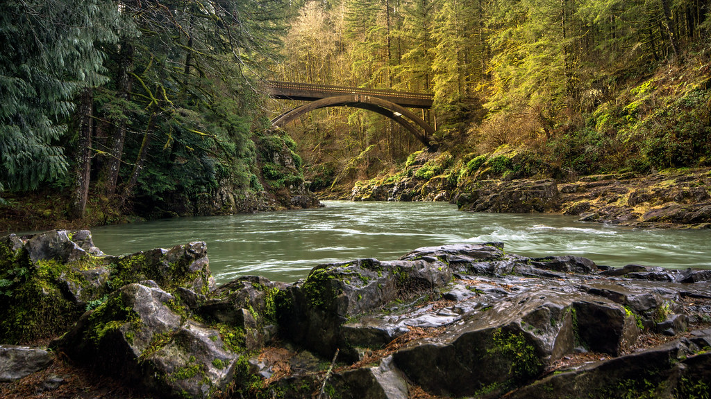
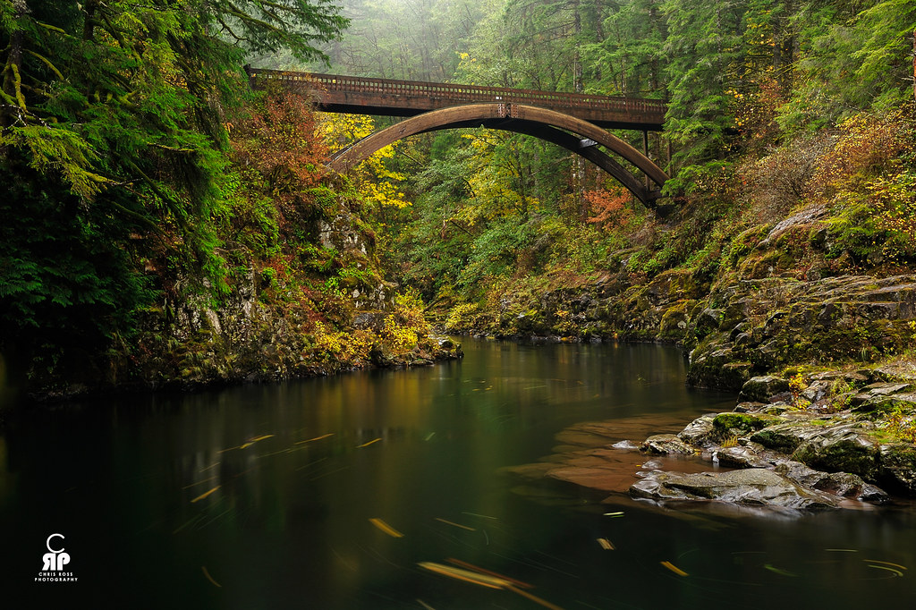
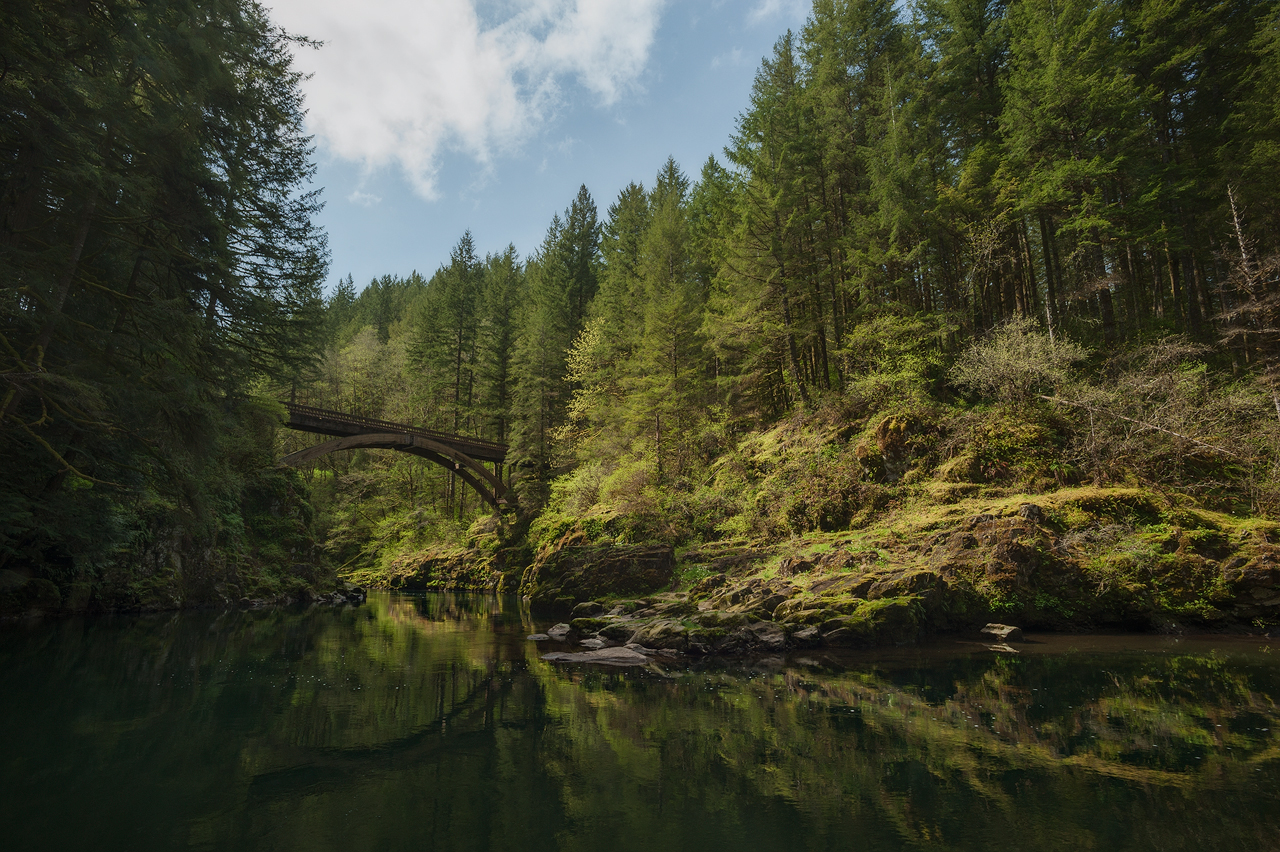
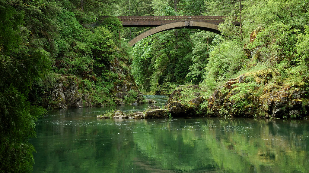
Moulton Falls Bridge

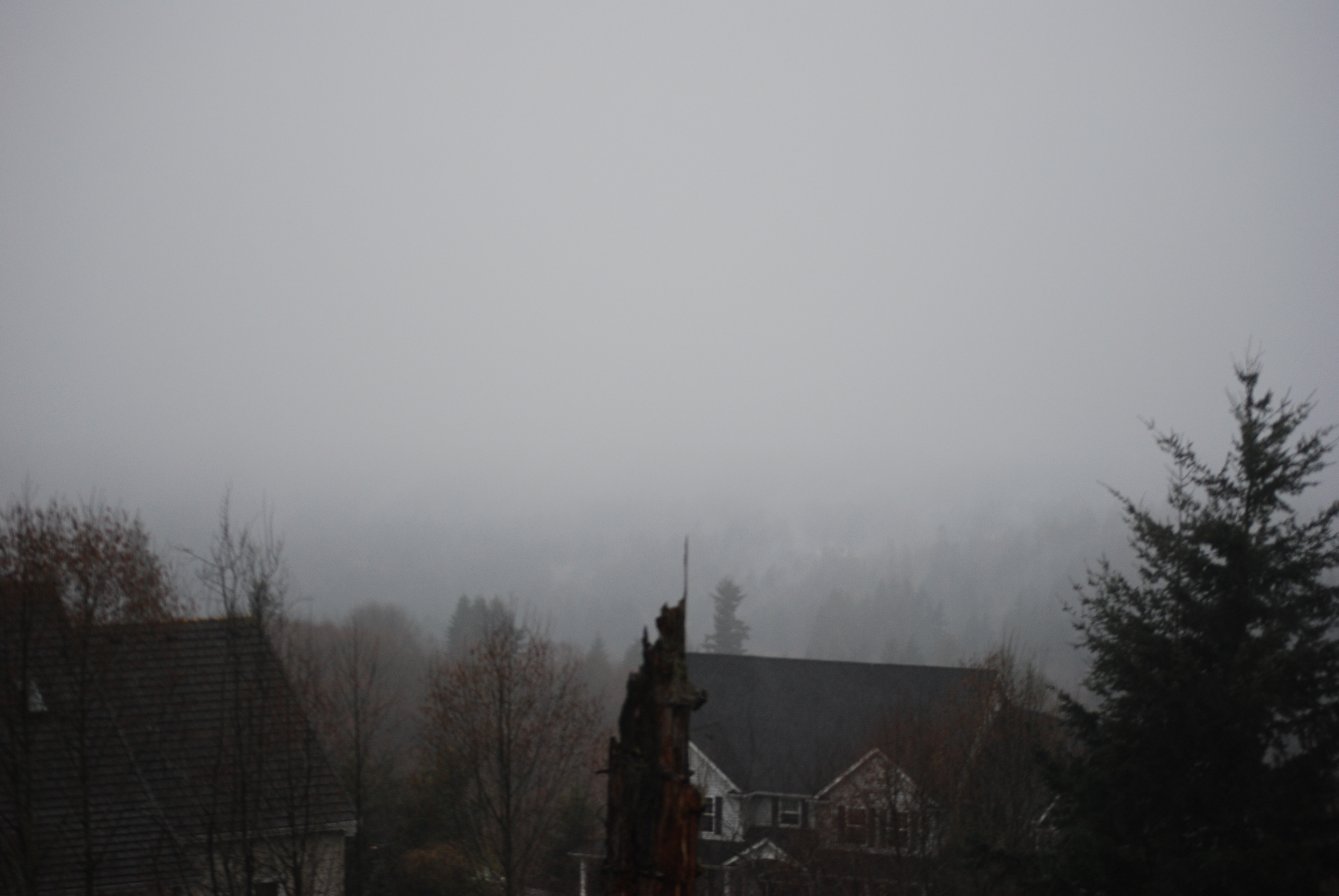
The View from 1.5 Miles to Lock Down

83/365 - Mar 25th, 2009 - Portland View
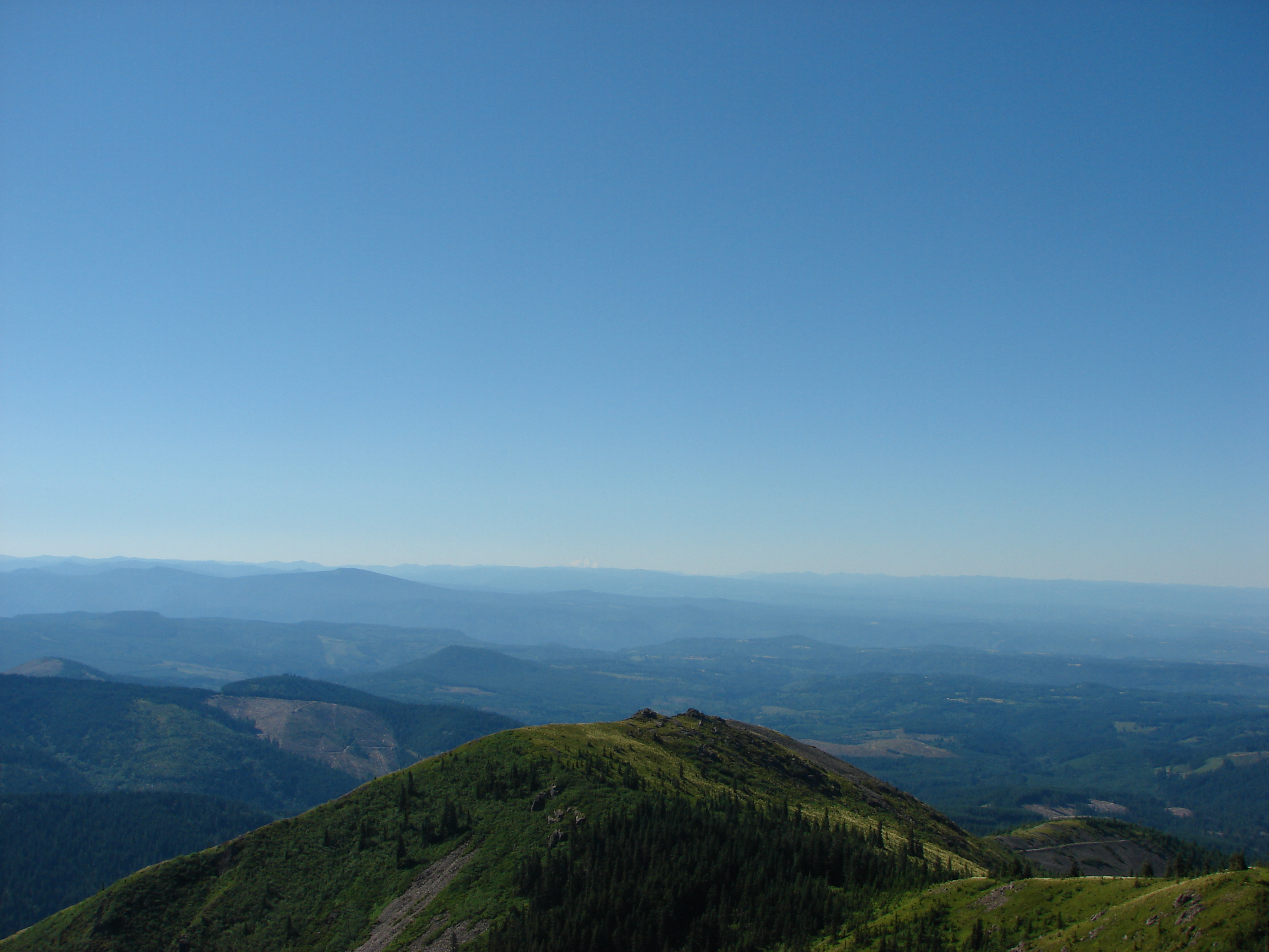
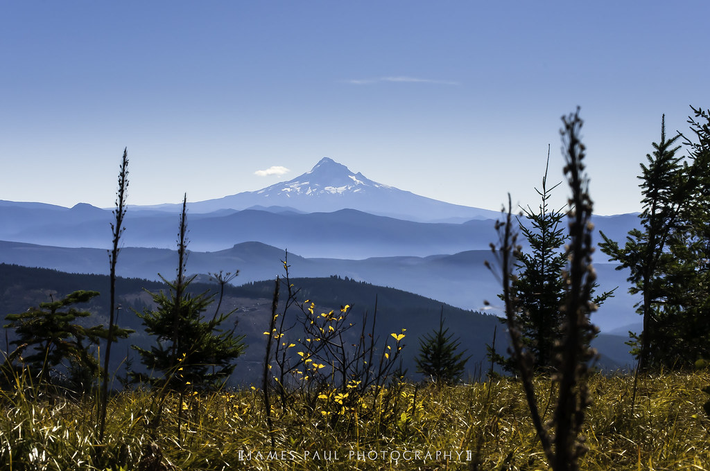
View from Silver Star Mountain

Need some feed back!!

Another view
86/365 - Mar 28th, 2009 - Portland View
5/365 - Jan 6th, 2009 - Portland View
90/365 - April 1st,2009 - Portland View

View from Ed' Trail
77/365 - Mar 19th, 2009 - Portland View

Looking north and south, a 180°-plus view, from our first break spot.
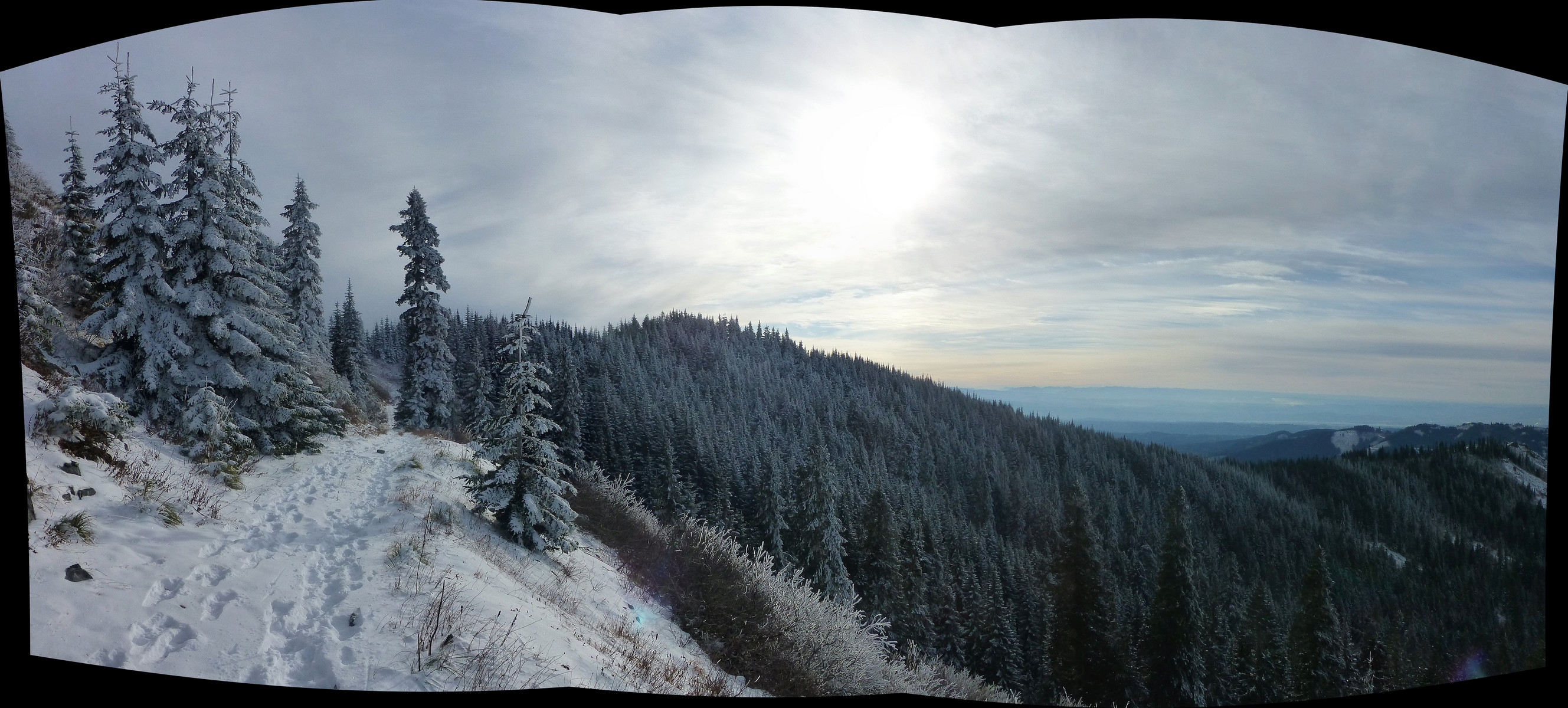
Just a really nice stretch of trail, with sweeping views to the south, on the way up Silver Star.
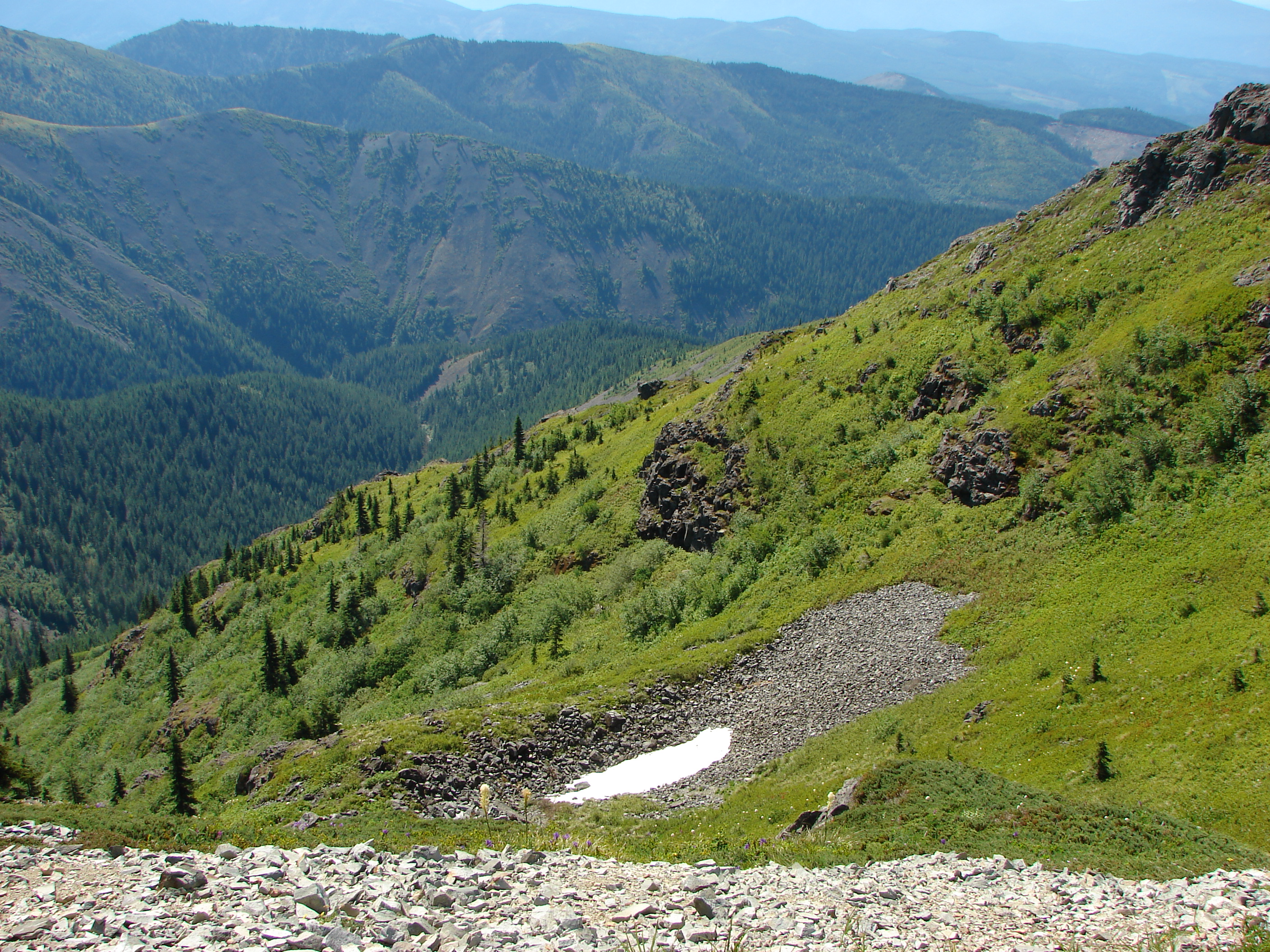
View from Silver Star Mountain
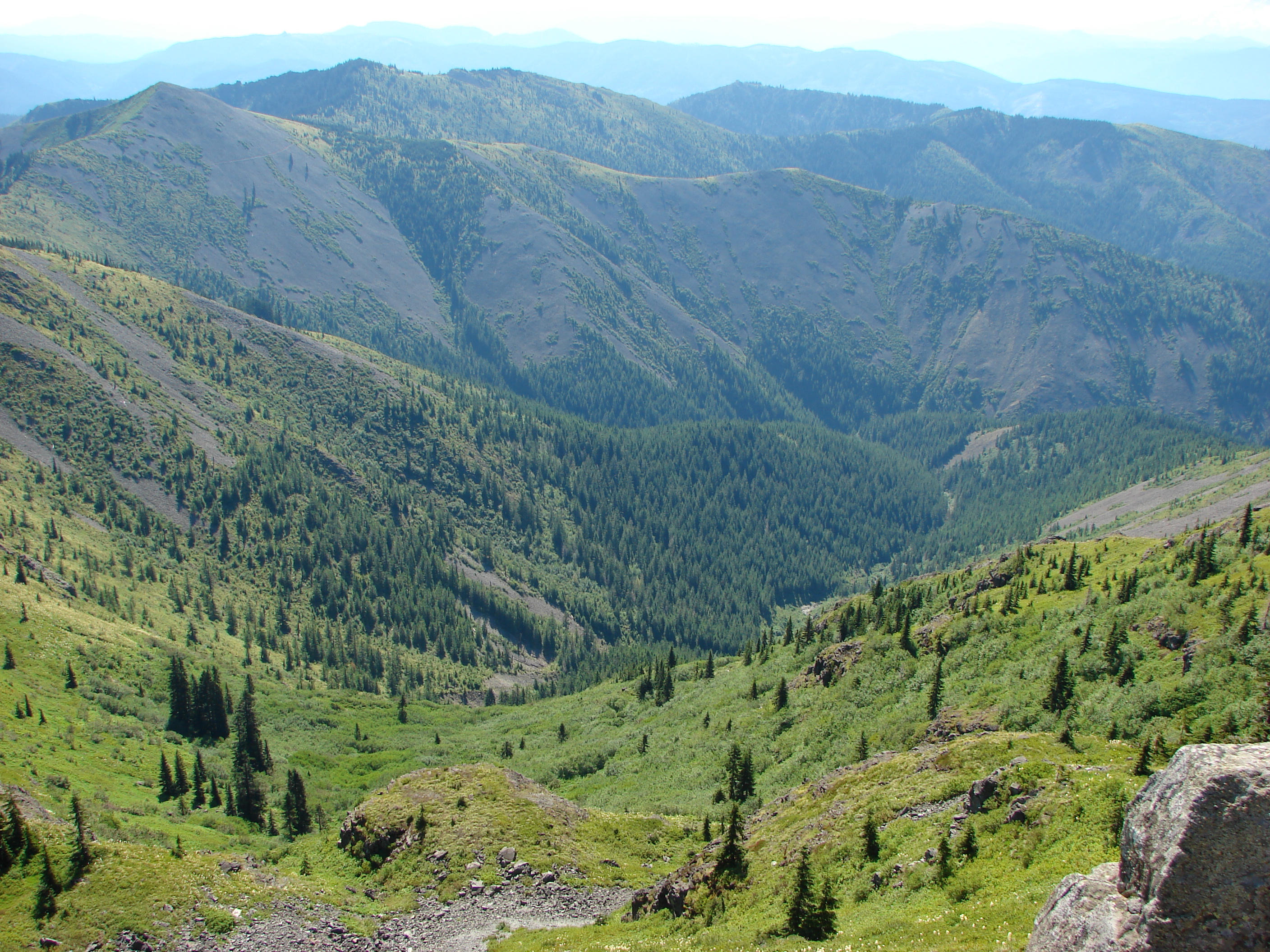
View from Silver Star Mountain
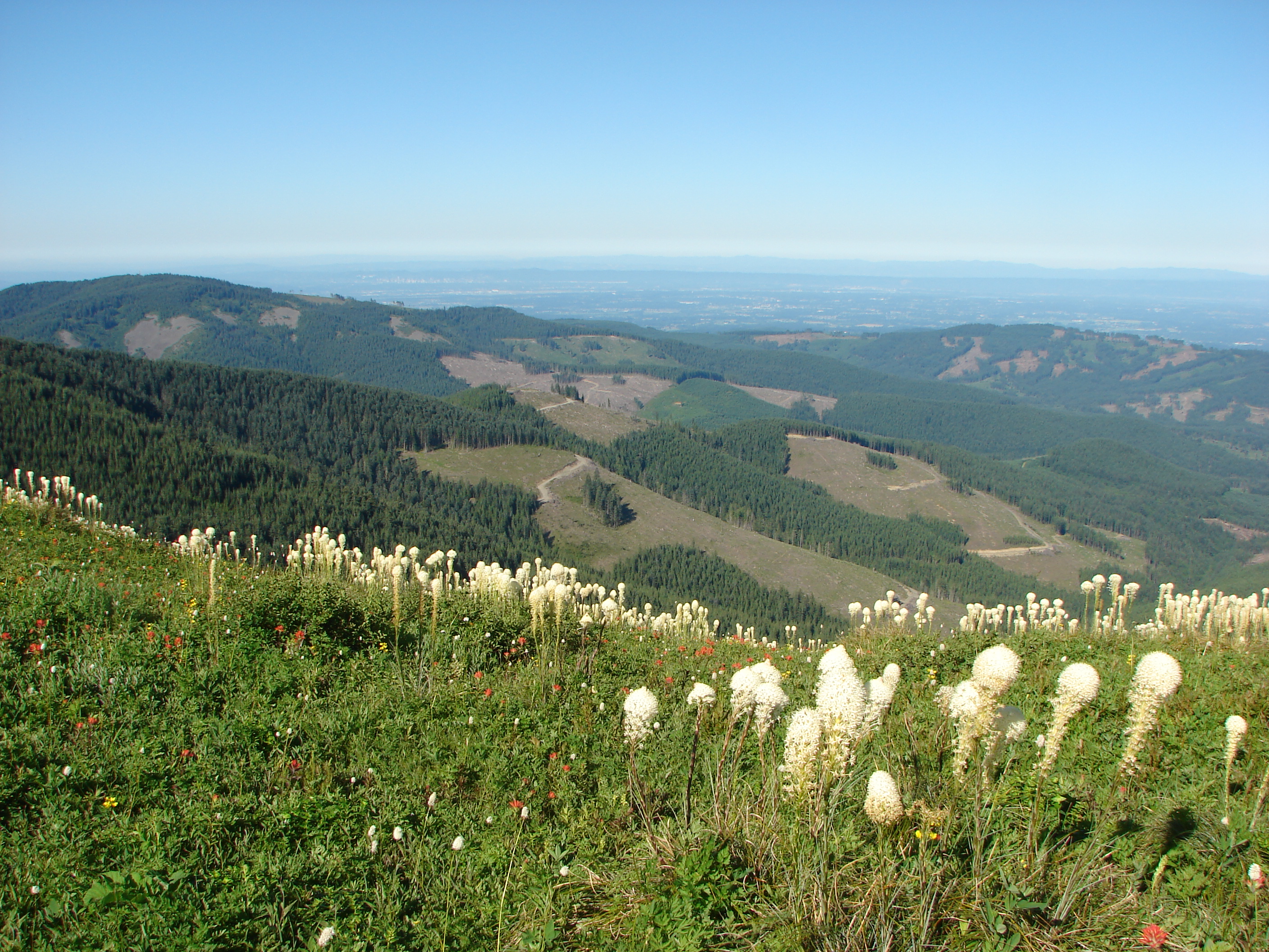
View from Silver Star Mountain
View from Ed' Trail
View of Portland from Home

What a week this has been!
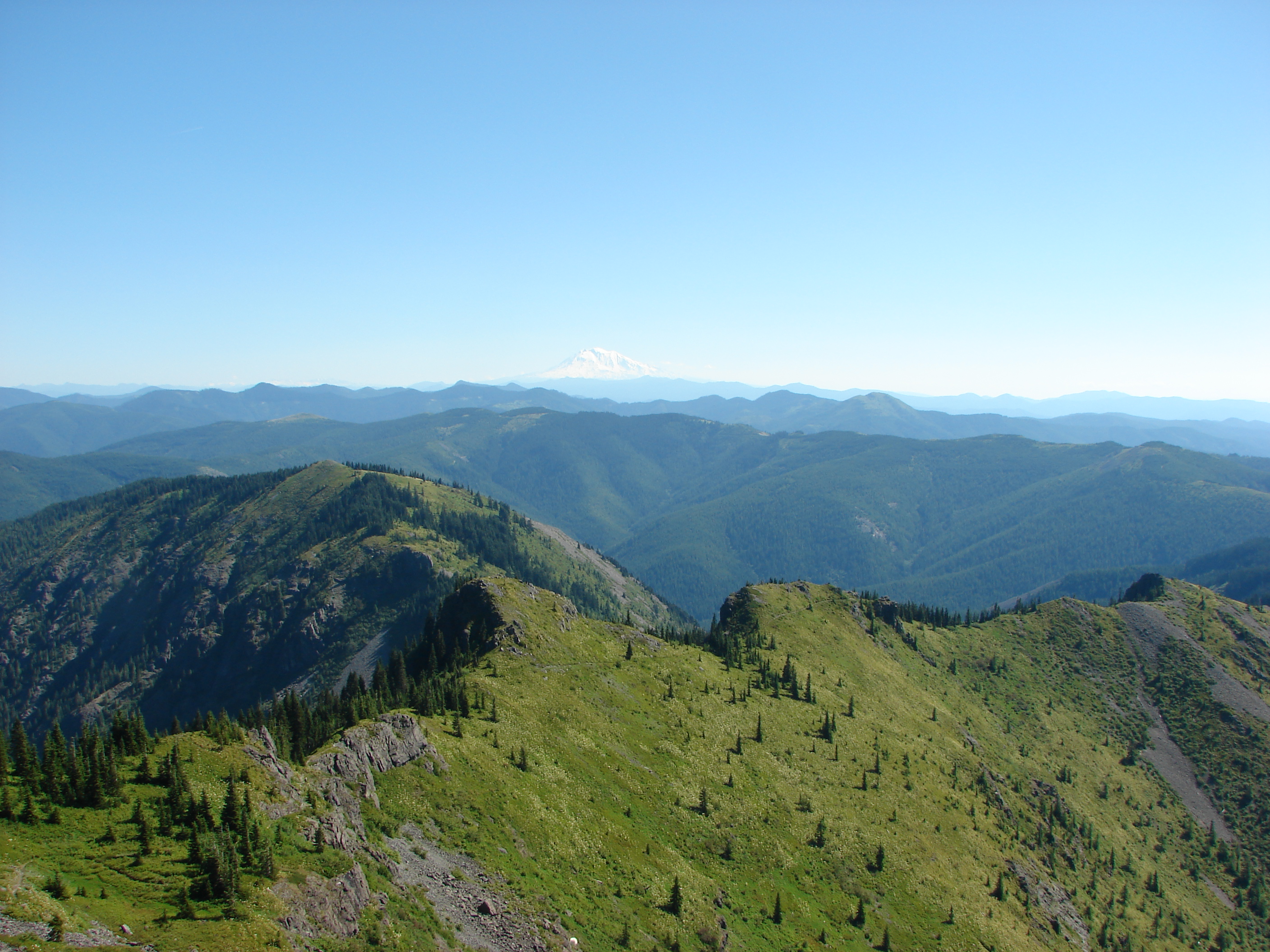
View from Silver Star Mountain
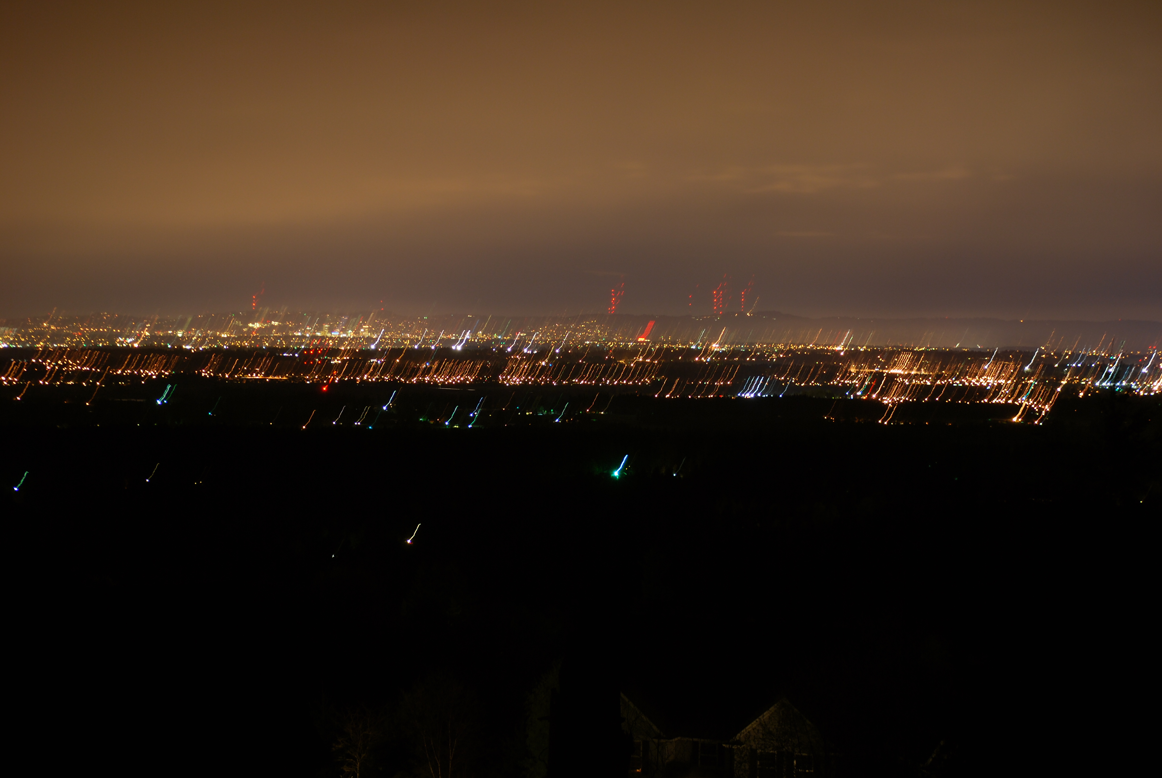
118/365 - Apr 29th, 2009 - Portland View
Writing With Light
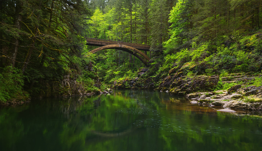
Moulton Falls Regional Park (Yacolt, WA)
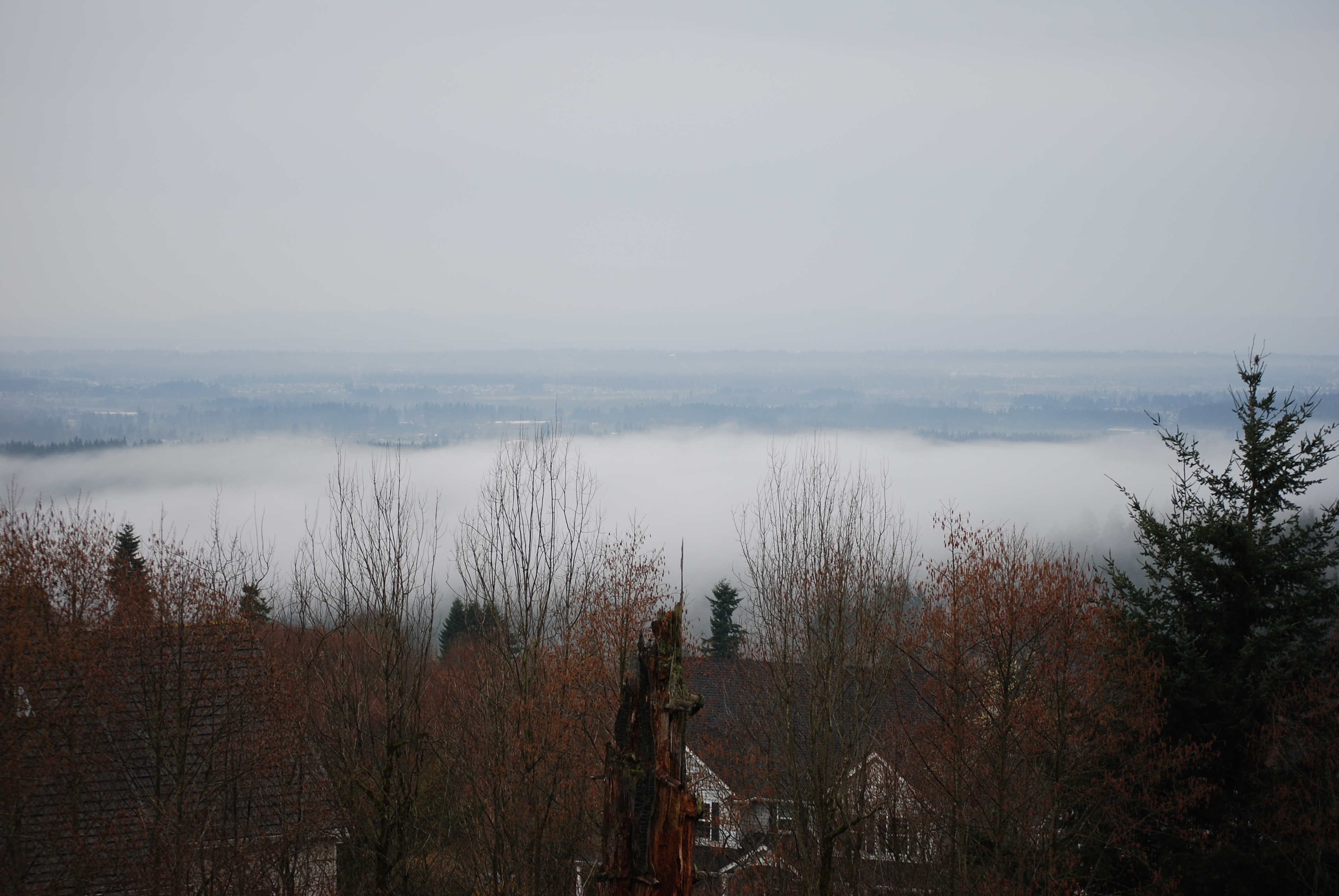
Drizzle Delight (Explored)
... new growth forest [Try L]

Lovely #scenery on our day trip to #Washington today. Q loved splashing around in the #water and finding #waterfalls . #summer #summertime
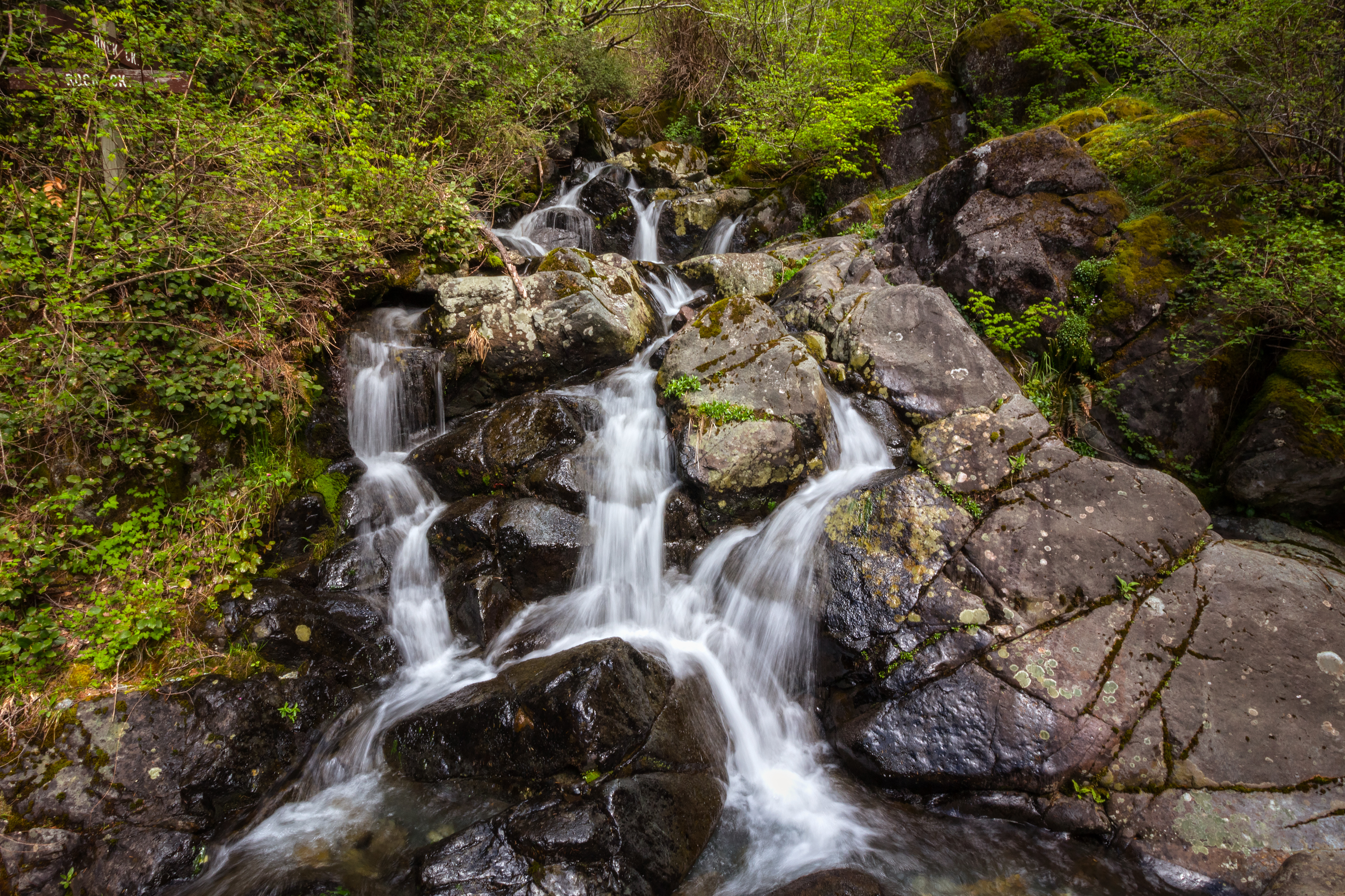
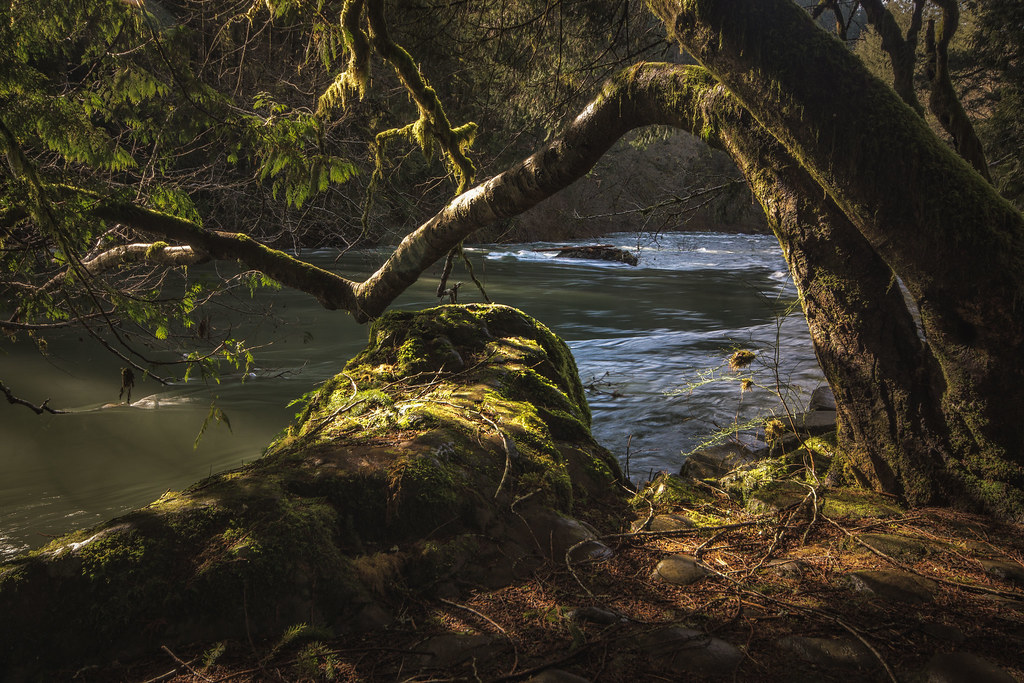
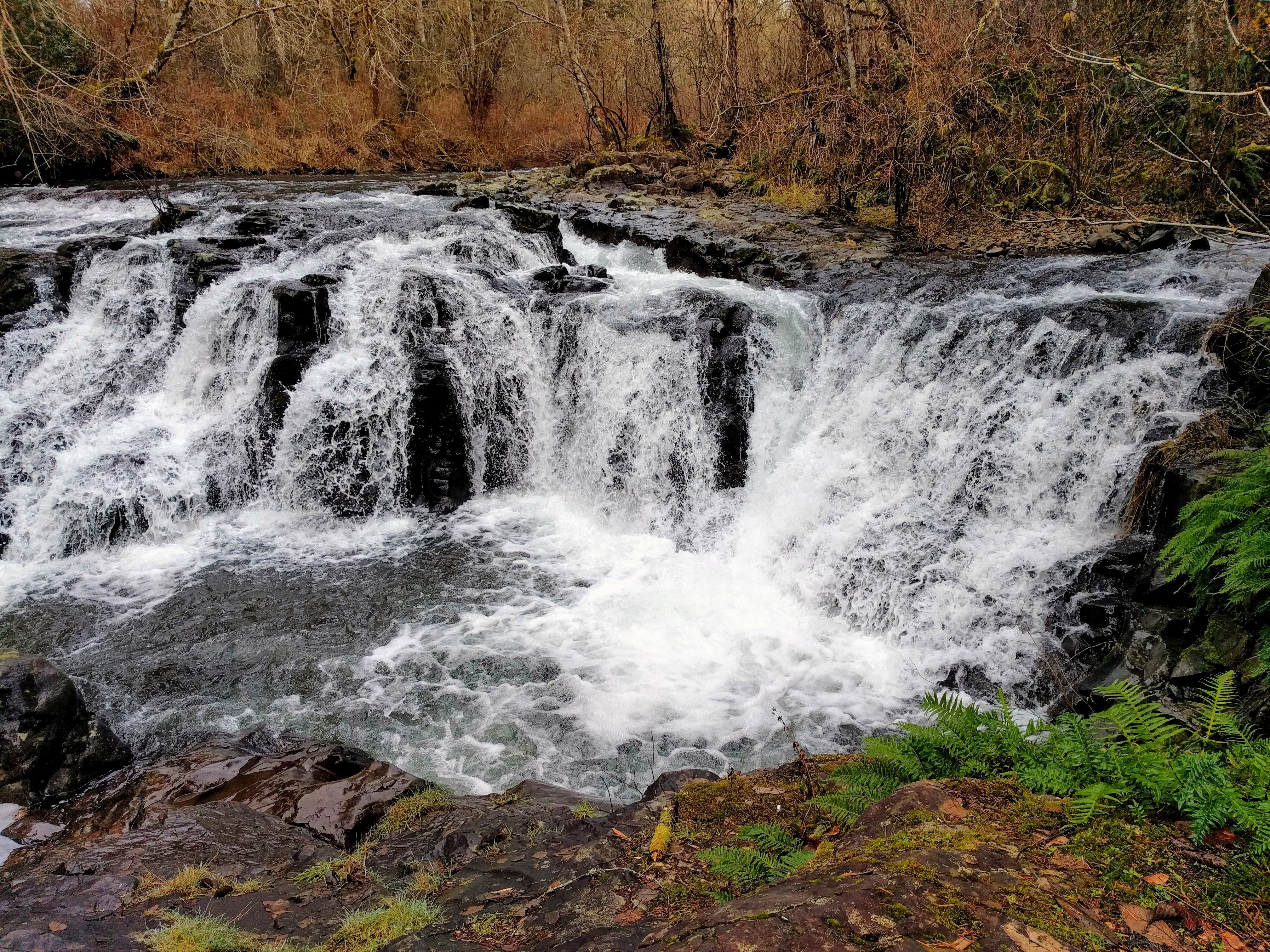
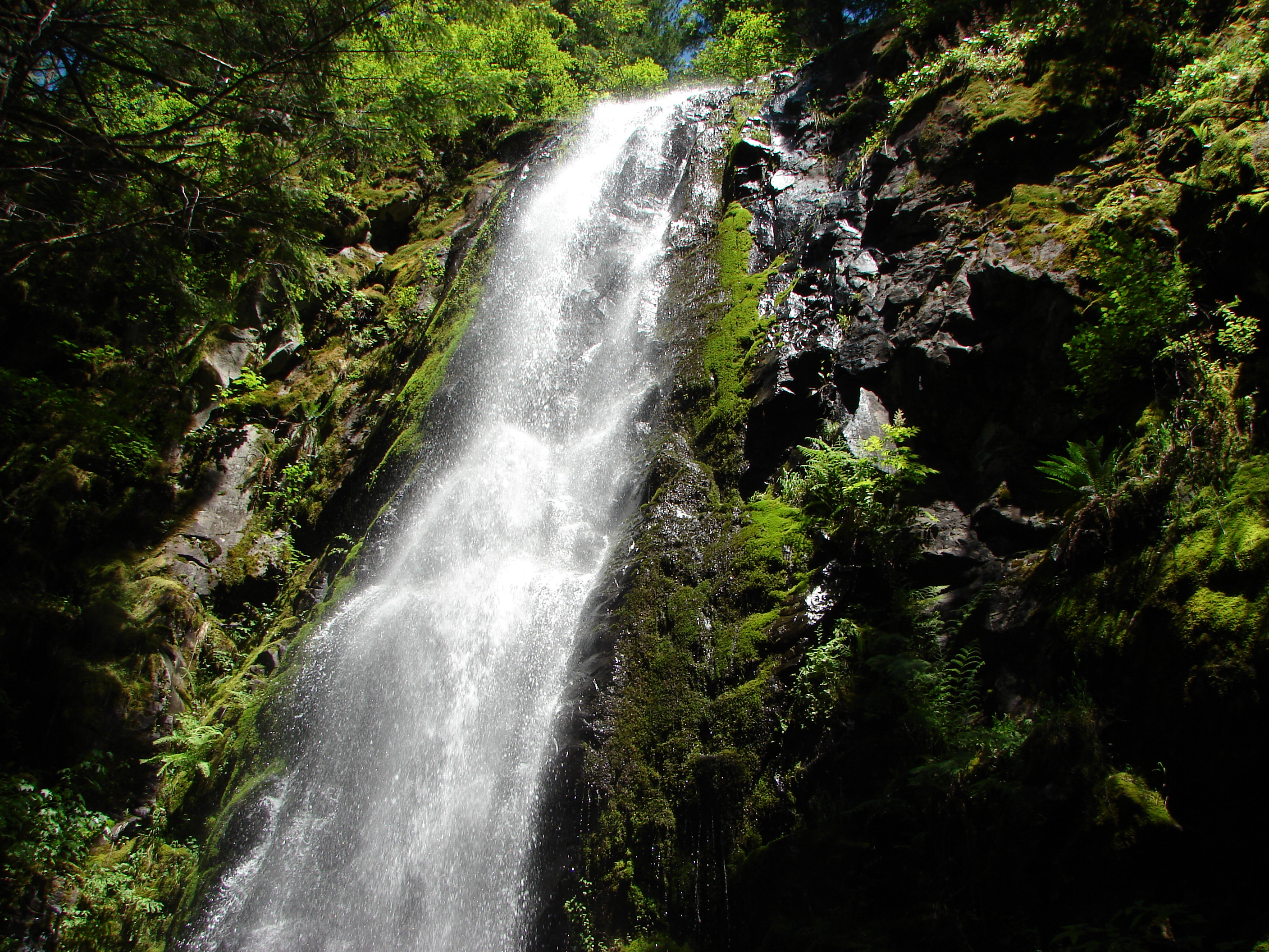
Rock Creek Falls

Moulton Falls
Footbridge, Moulton Falls State Park (WA)
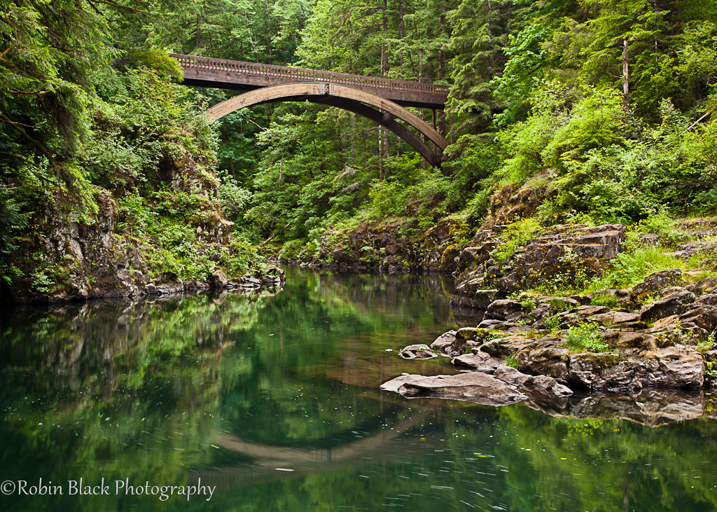
Moulton Falls bridge
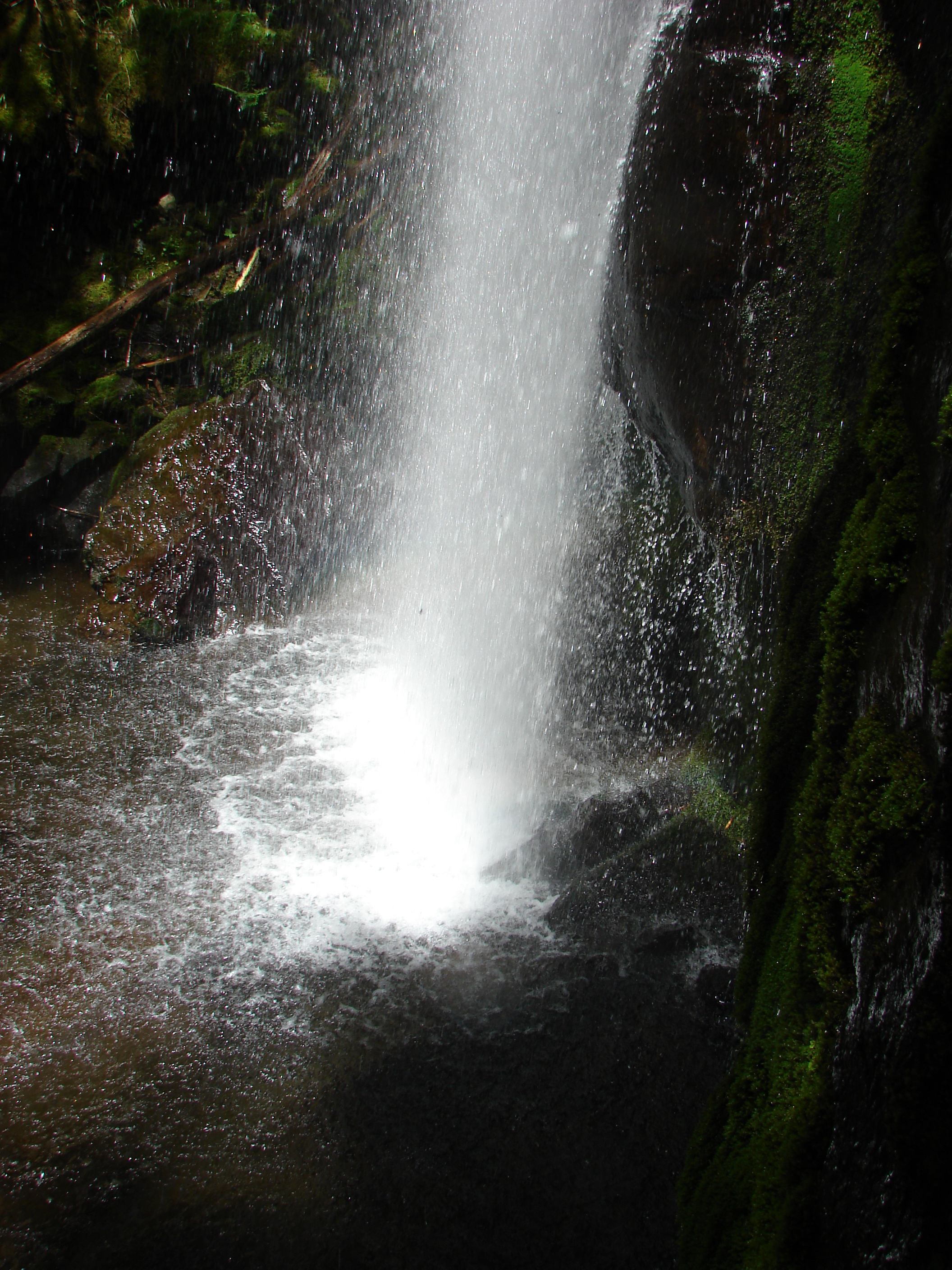
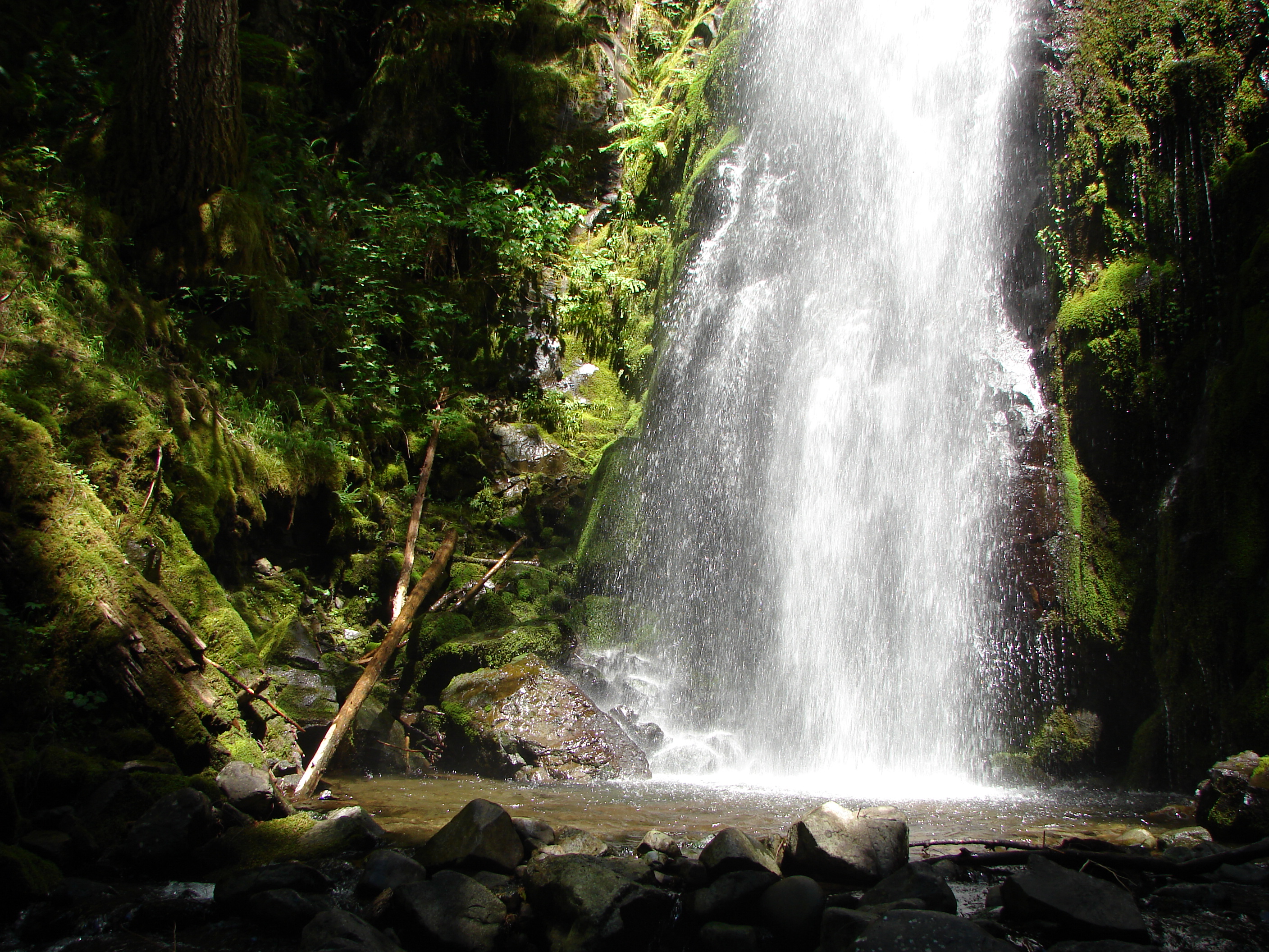
Hidden Falls
Moulton falls
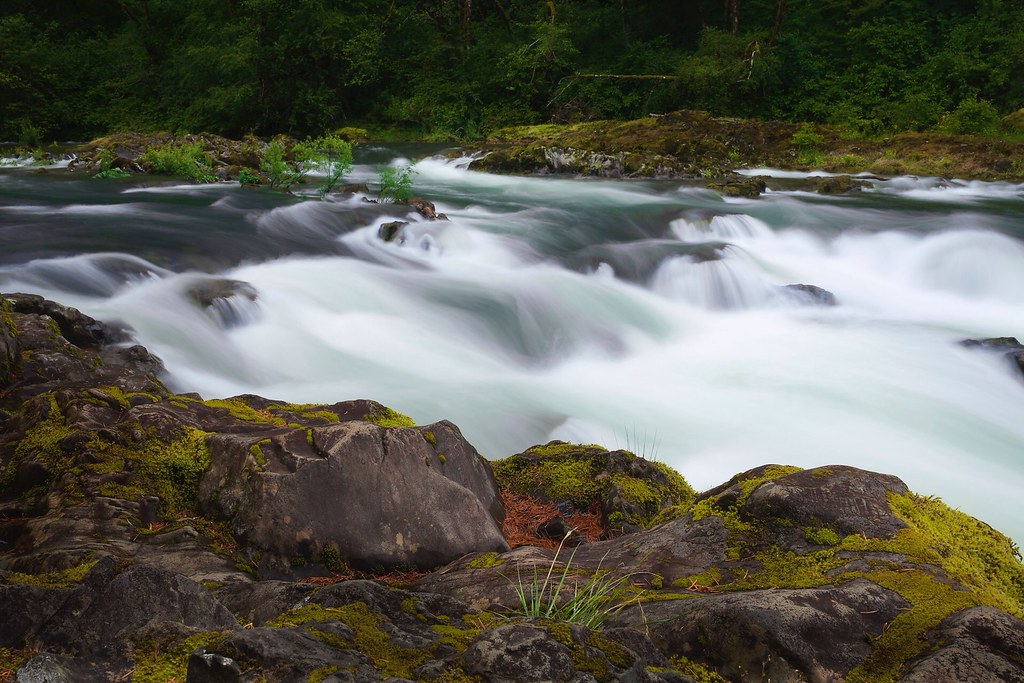
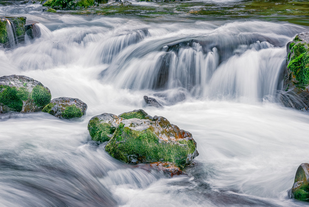
Rushing water / Moulton falls State Park
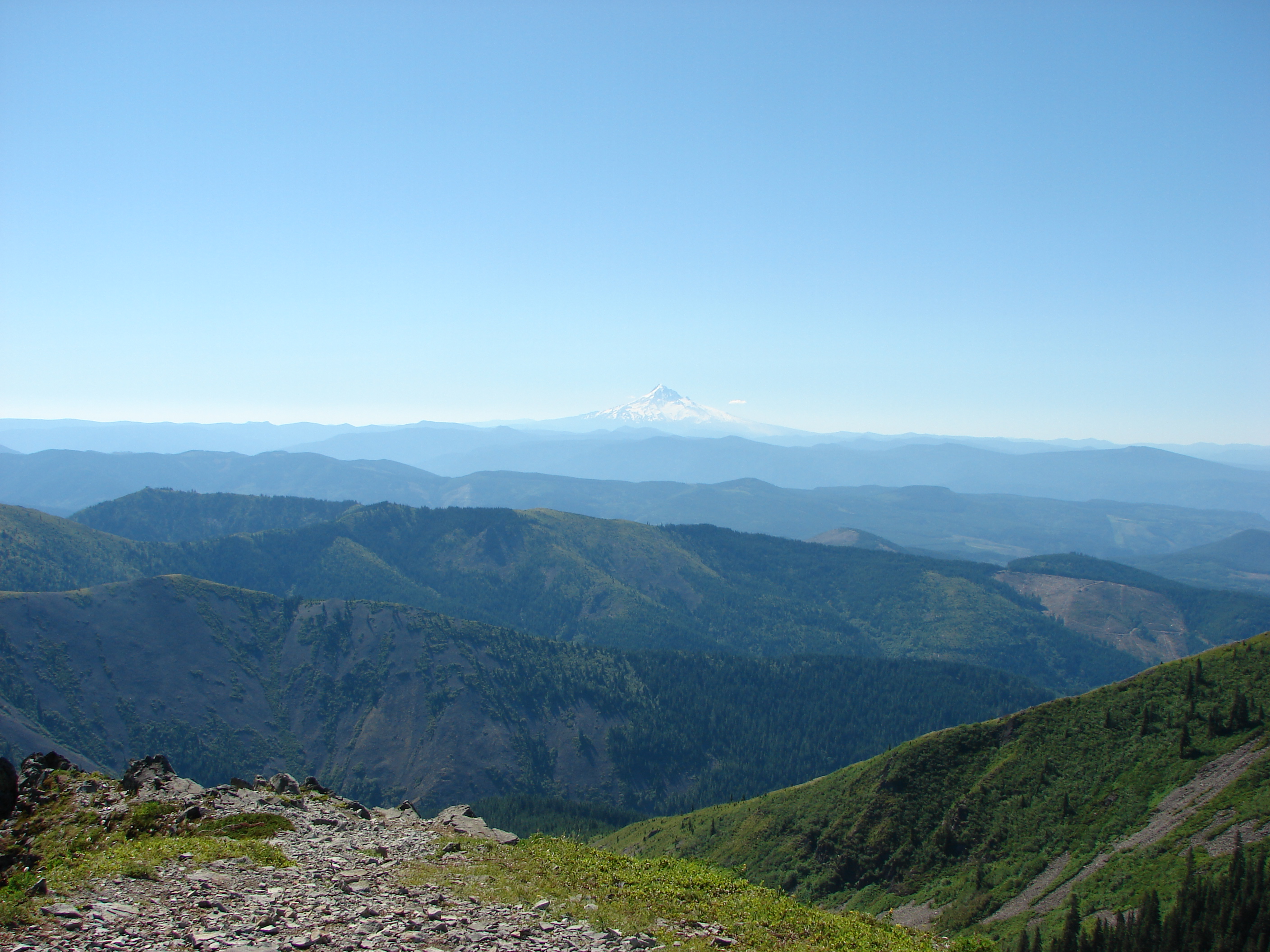
Majestic Hood
Hidden Falls

Tarabell Trail
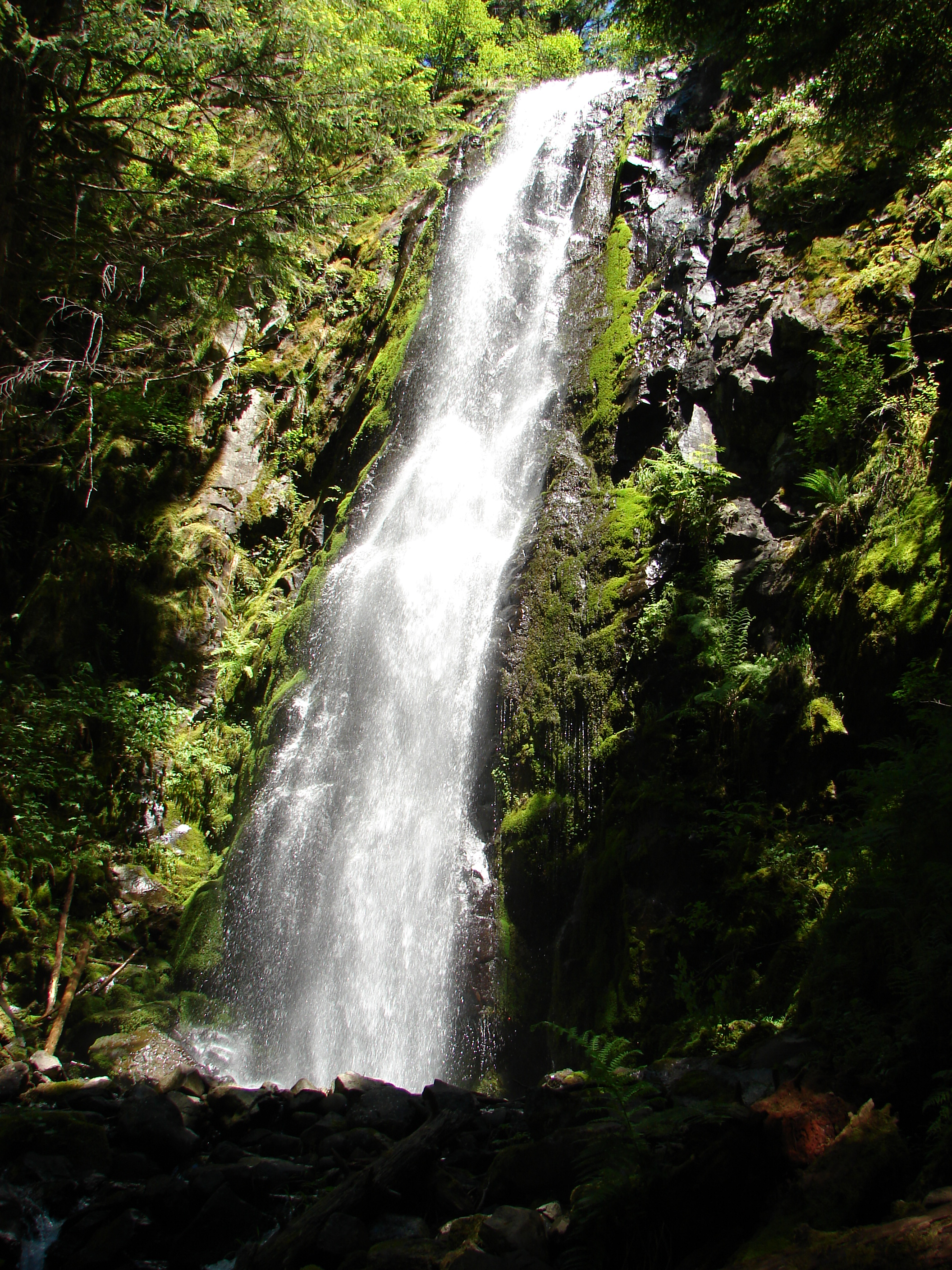
Moulton Falls
Hidden Falls
Bridge Over Lewis River
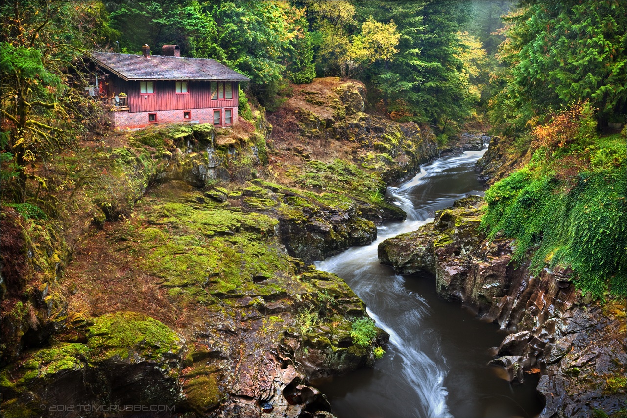
River House
Hidden Falls
Topographic Map of NE nd Ave, Battle Ground, WA, USA
Find elevation by address:

Places near NE nd Ave, Battle Ground, WA, USA:
24304 Ne 224th St
22103 Ne 237th Cir
22414 Ne 237th Ave
Northeast Berlin Road
Northeast 227th Street
25215 Ne Berlin Rd
25033 Ne Berry Rd
23741 Ne Canyon Rd
23303 Ne 206th St
20614 Ne 256th Ave
Northeast 230th Street
Northeast 223rd Court
22607 Ne Allworth Rd
19423 Ne Erion Rd
19909 Ne Bridlewood Rd
26110 Ne 209th St
20300 Ne 225th Ave
20610 Ne 262nd Ave
23811 Ne Kaskillah Dr
22309 Ne 200th St
Recent Searches:
- Elevation of Corso Fratelli Cairoli, 35, Macerata MC, Italy
- Elevation of Tallevast Rd, Sarasota, FL, USA
- Elevation of 4th St E, Sonoma, CA, USA
- Elevation of Black Hollow Rd, Pennsdale, PA, USA
- Elevation of Oakland Ave, Williamsport, PA, USA
- Elevation of Pedrógão Grande, Portugal
- Elevation of Klee Dr, Martinsburg, WV, USA
- Elevation of Via Roma, Pieranica CR, Italy
- Elevation of Tavkvetili Mountain, Georgia
- Elevation of Hartfords Bluff Cir, Mt Pleasant, SC, USA