Elevation of Nečín, Czech Republic
Location: Czech Republic > Central Bohemian Region > Příbram District >
Longitude: 14.2340402
Latitude: 49.698446
Elevation: 444m / 1457feet
Barometric Pressure: 96KPa
Elevation Map:
Satellite Map:
Related Photos:
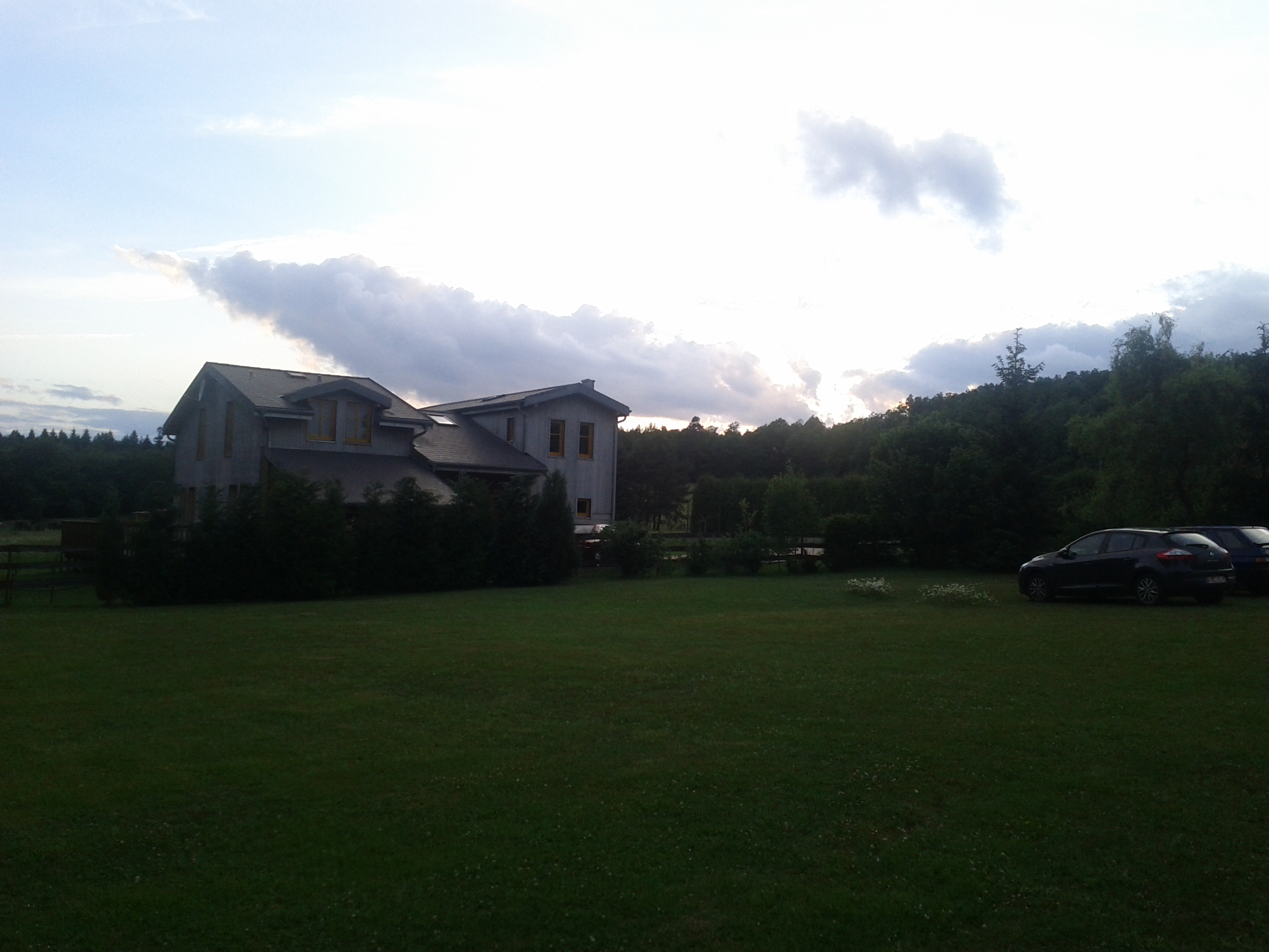
Sunset
karelstein station

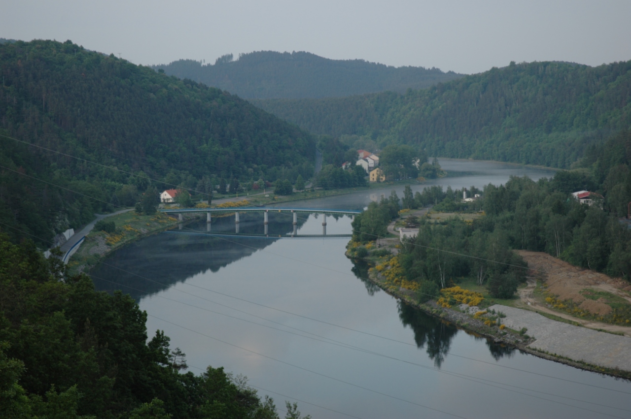
25 Vltava pod mostem
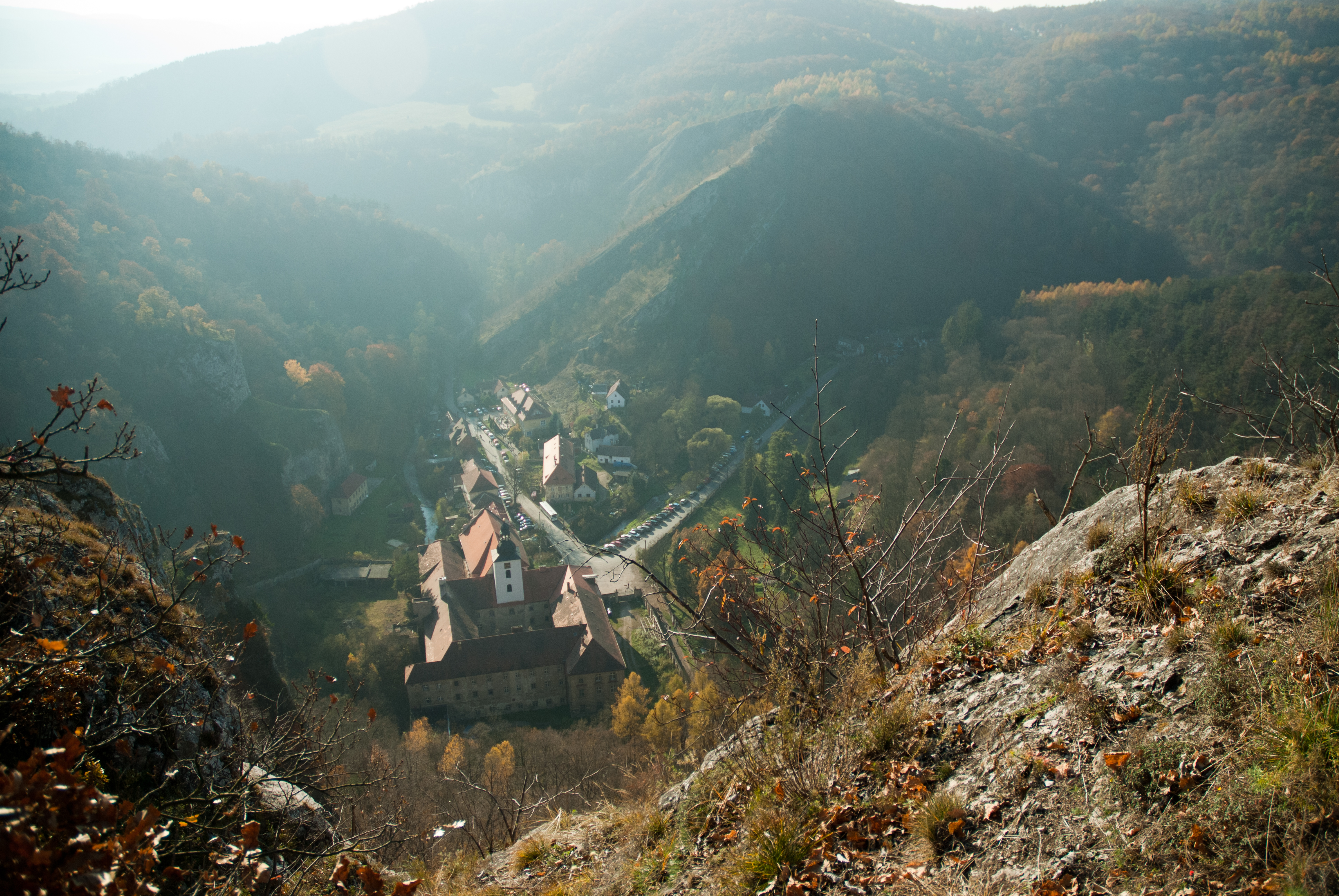
Svatý Jan
dsc_0403.jpg

Schlosspark von Schloss Dobris
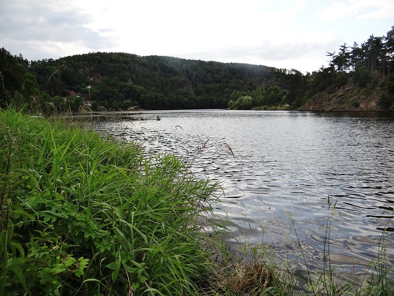
Velka - Písek (Otava)
Orlík - Spálenka
Prag - Velka
Dobříš
Živohošť (okres Příbram), kostel

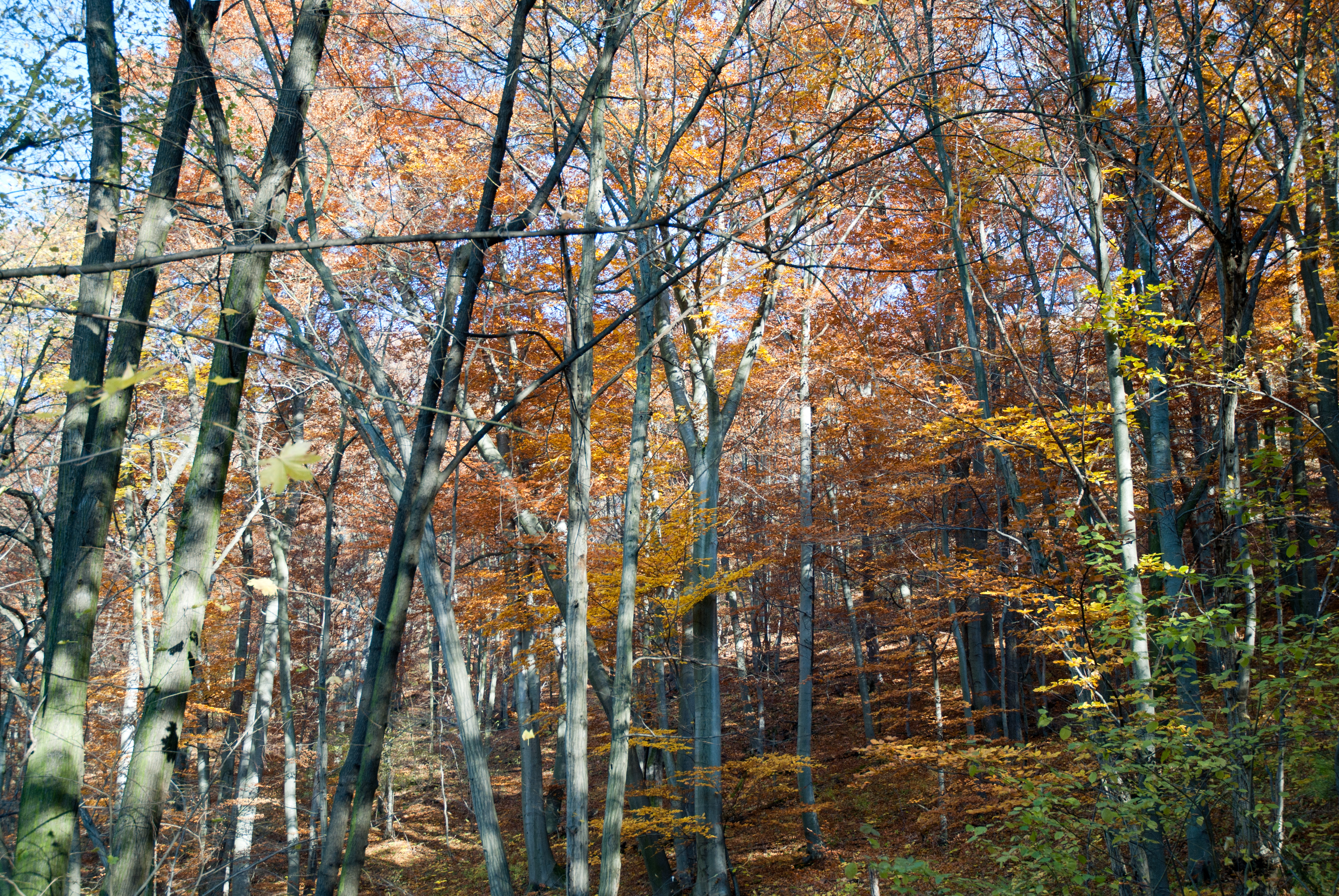
The Fall

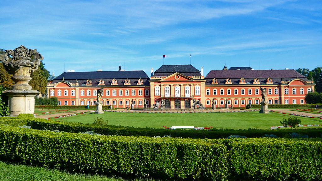
Chateau Dobříš
Orlík - Spálenka
Svatý Jan
Jezerna hill in winter

Svatý Jan
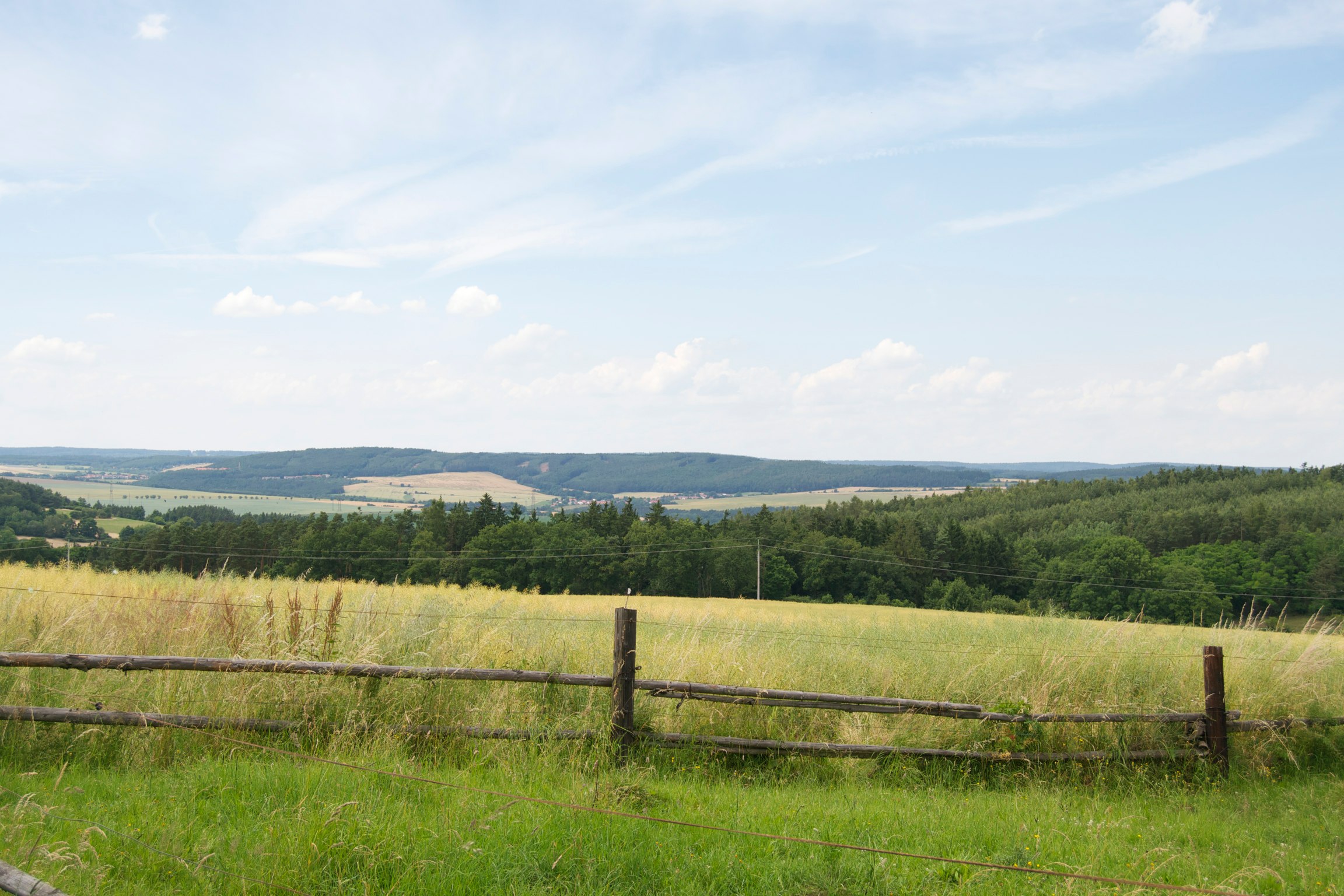
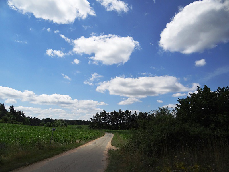
Czech countryside (Near Nový Knín)
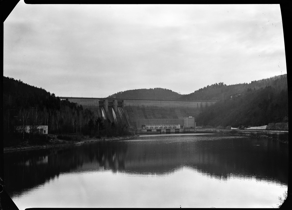
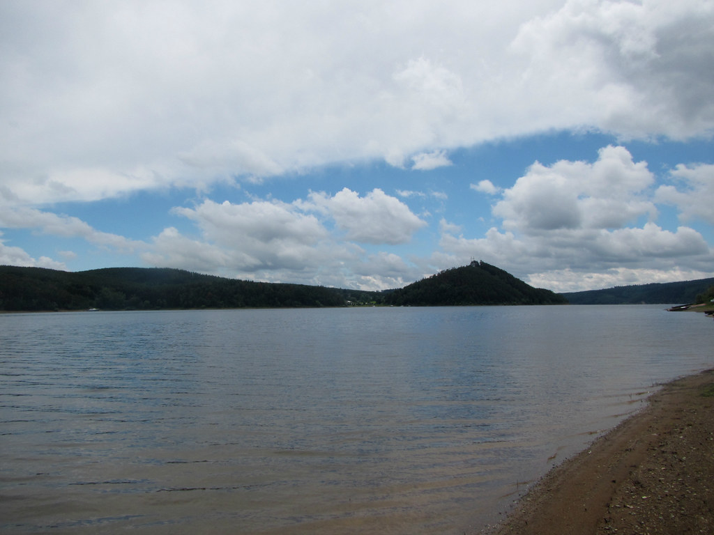
Mag02 Orlická přehrada - zmenšeno

Orlík - Spálenka
Svatý Jan
Prag - Velka
Topographic Map of Nečín, Czech Republic
Find elevation by address:

Places in Nečín, Czech Republic:
Places near Nečín, Czech Republic:
Vaječník
Vaječník 2, 01 Nečín, Czech Republic
Vestec 38, 01 Hřiměždice, Czech Republic
Vestec
Hříměždice
Hrachov, 56 Svatý Jan, Czech Republic
Borotice
Hrachov
Borotice, Čelina 1, 15 Borotice, Czech Republic
Svatý Jan
Čelina 1
Milešov
Drásov 29, 01 Drásov, Czech Republic
Drásov
Klenovice
Klenovice, 56 Milešov, Czech Republic
Příbram District
Pečice 53, 31 Pečice, Czech Republic
Pečice
Úsuší 4, 01 Kňovice, Czech Republic
Recent Searches:
- Elevation of Corso Fratelli Cairoli, 35, Macerata MC, Italy
- Elevation of Tallevast Rd, Sarasota, FL, USA
- Elevation of 4th St E, Sonoma, CA, USA
- Elevation of Black Hollow Rd, Pennsdale, PA, USA
- Elevation of Oakland Ave, Williamsport, PA, USA
- Elevation of Pedrógão Grande, Portugal
- Elevation of Klee Dr, Martinsburg, WV, USA
- Elevation of Via Roma, Pieranica CR, Italy
- Elevation of Tavkvetili Mountain, Georgia
- Elevation of Hartfords Bluff Cir, Mt Pleasant, SC, USA