Elevation of Hrachov, 56 Svatý Jan, Czech Republic
Location: Czech Republic > Central Bohemian Region > Příbram District > Svatý Jan > Hrachov >
Longitude: 14.2758046
Latitude: 49.6785006
Elevation: 275m / 902feet
Barometric Pressure: 98KPa
Elevation Map:
Satellite Map:
Related Photos:

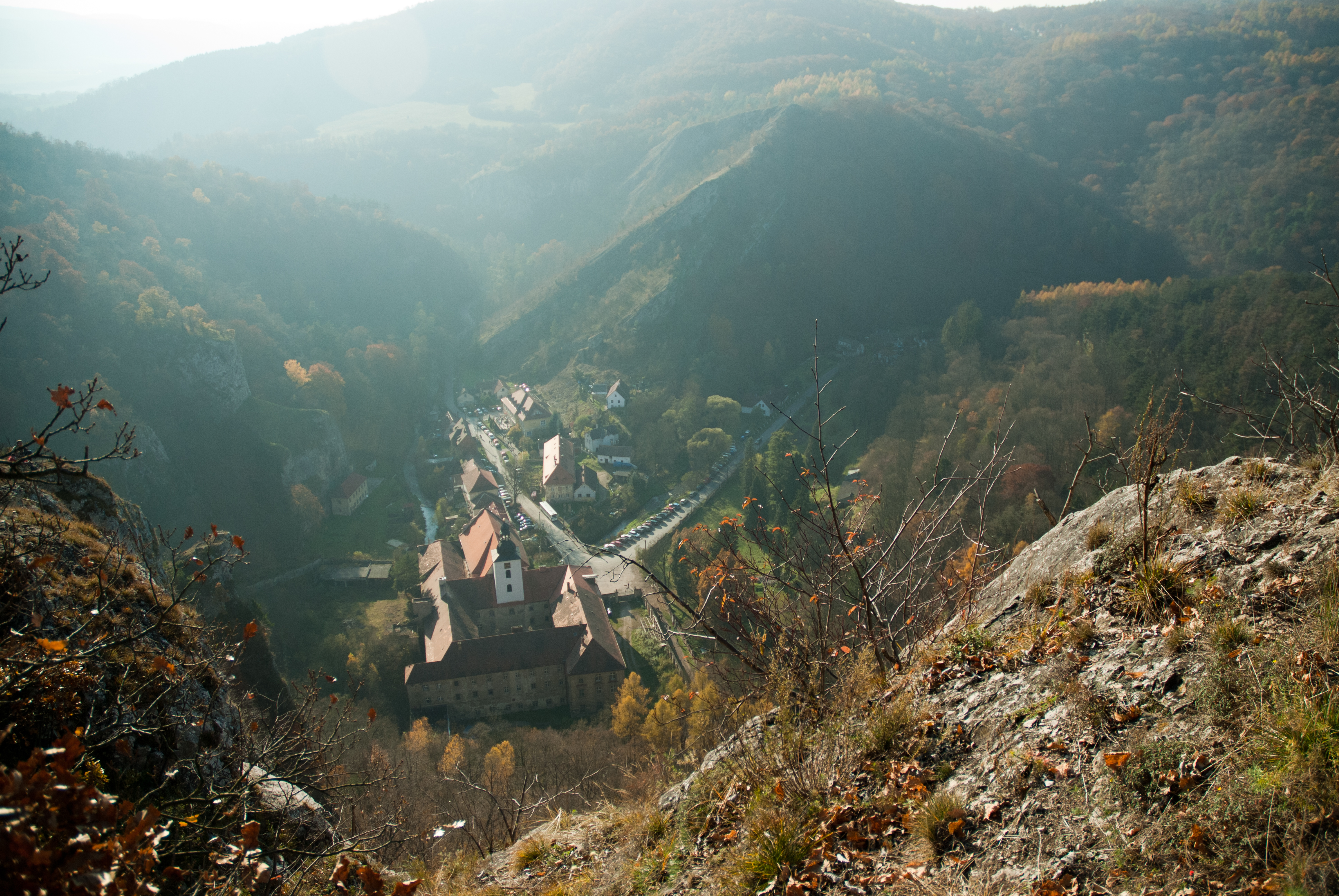
DSC_9441.JPG

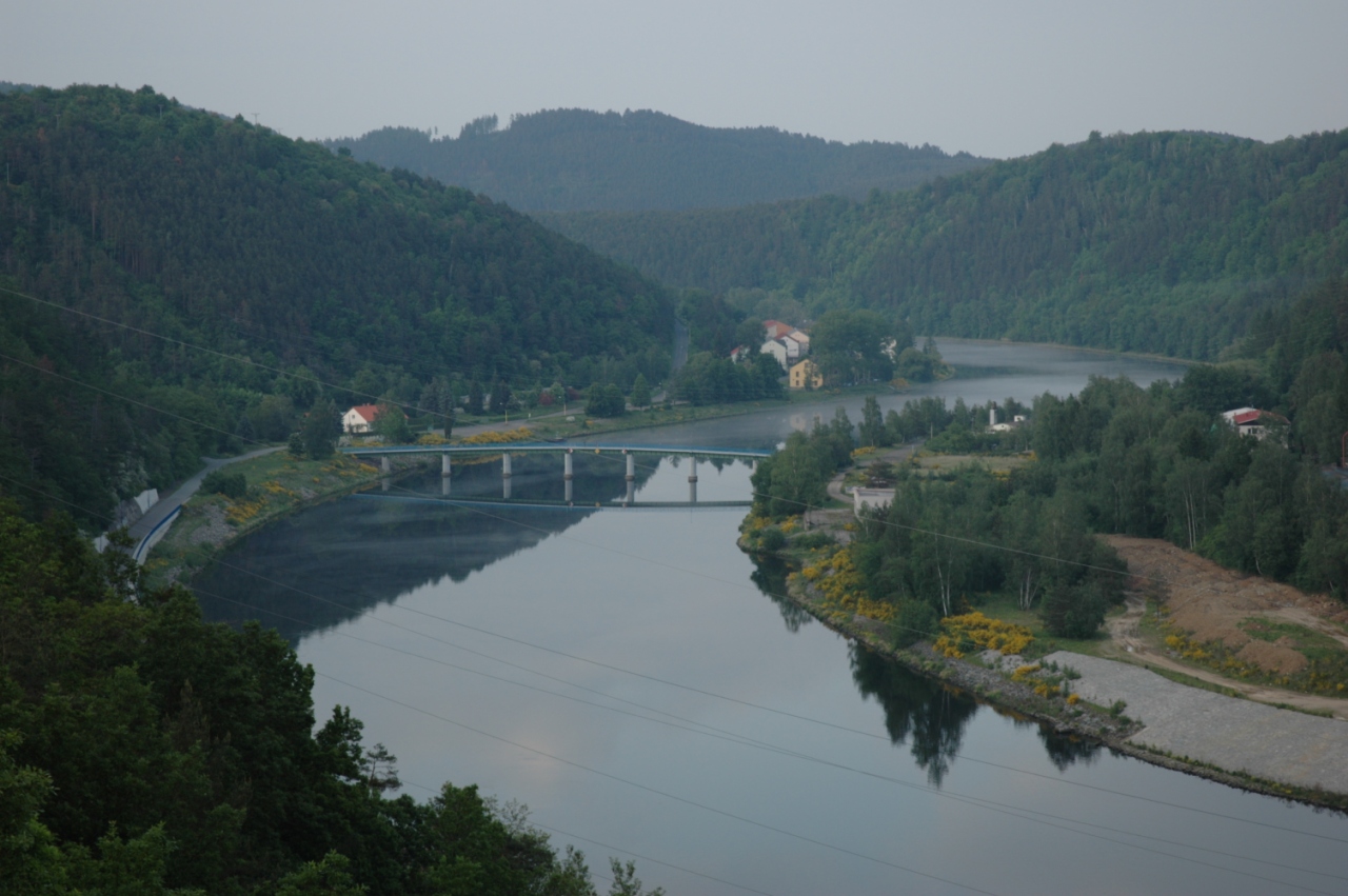
25 Vltava pod mostem
Svatý Jan
dsc_0403.jpg
Velka - Písek (Otava)

Prag - Velka
DSC_9438.JPG
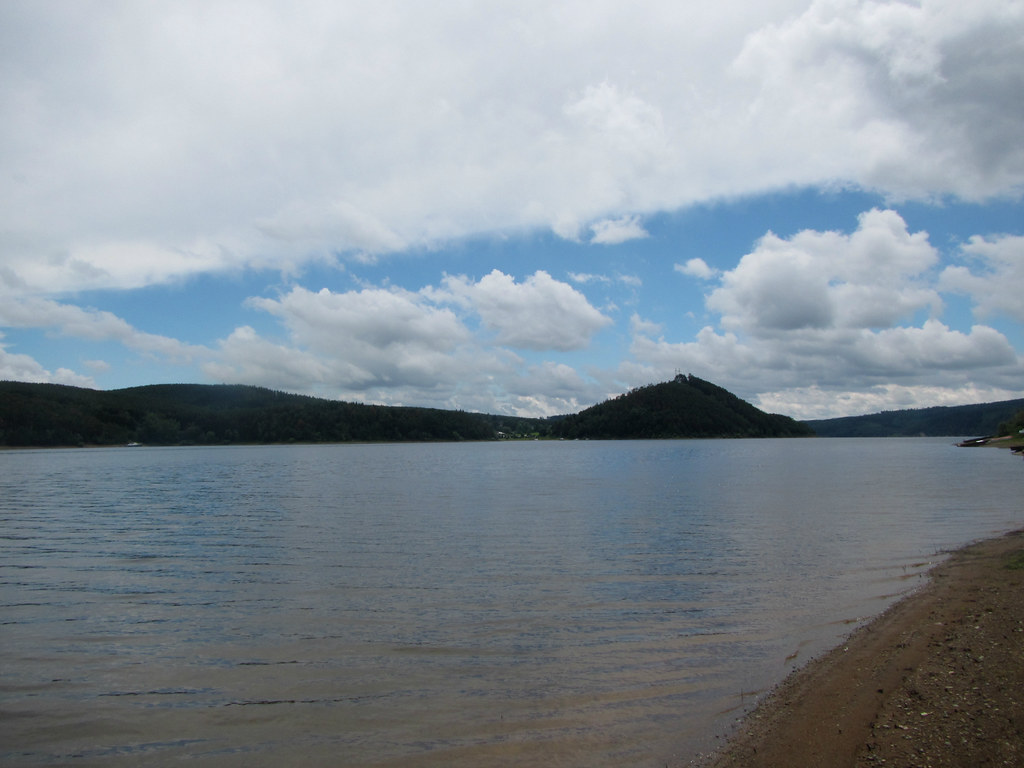
Orlík - Spálenka
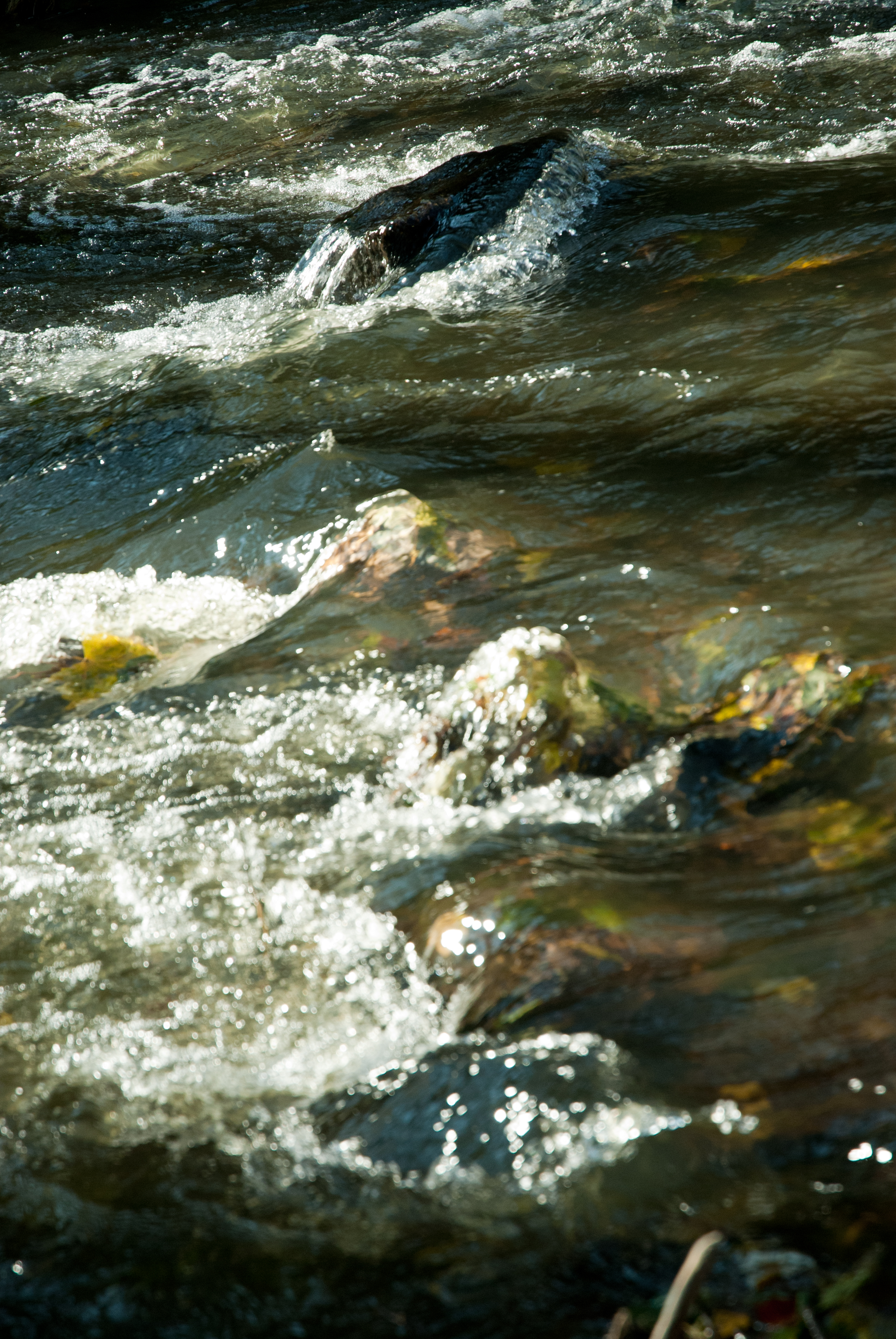
Svatý Jan
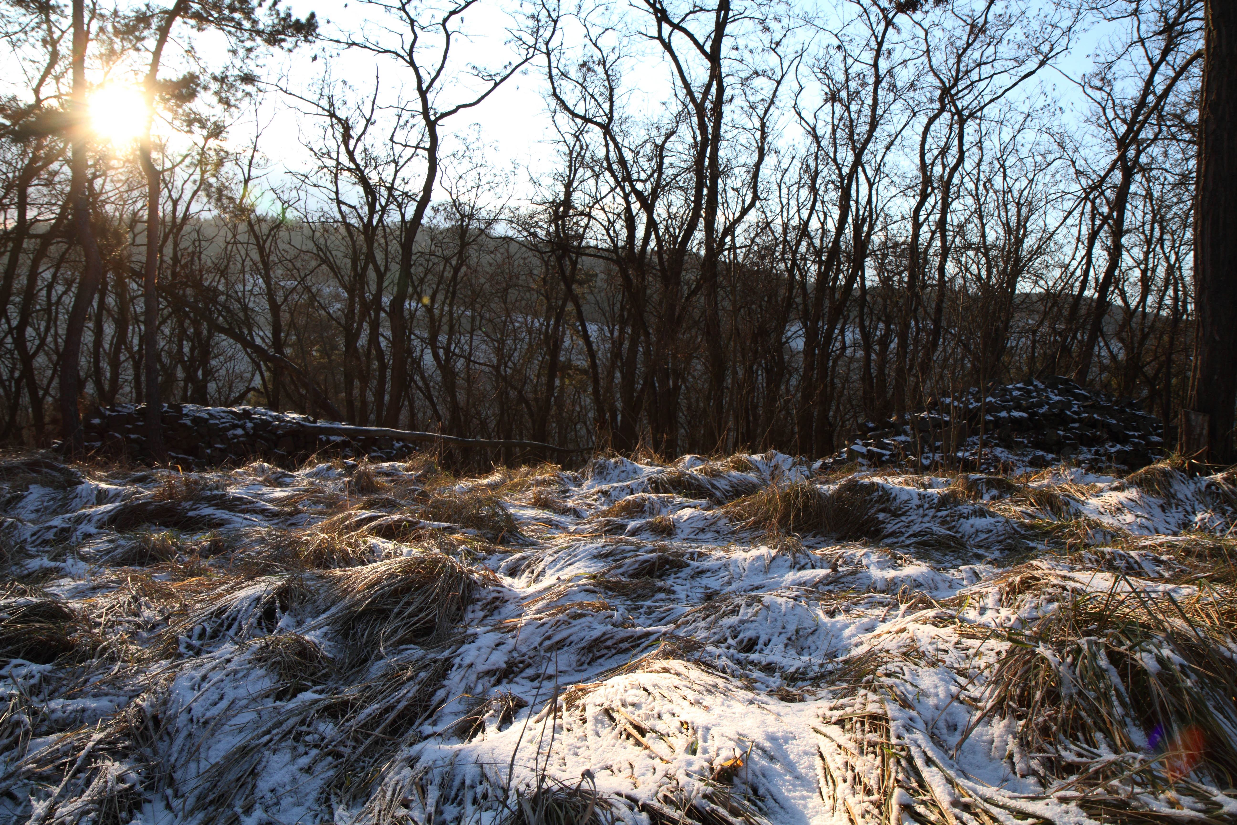
Jezerna hill in winter

Svatý Jan
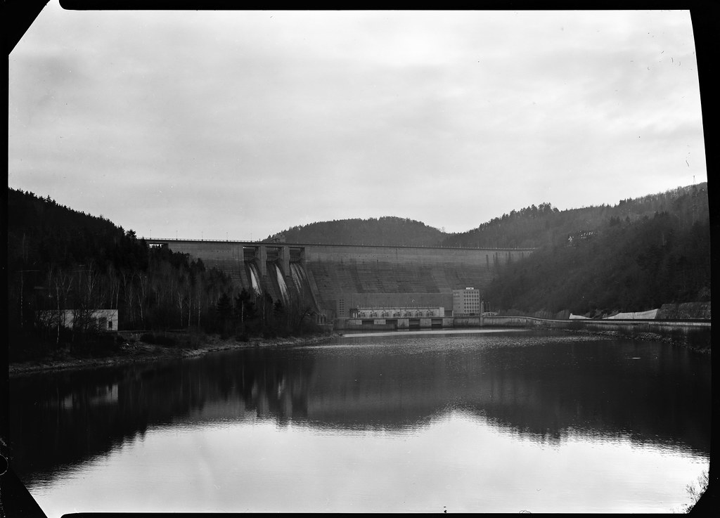
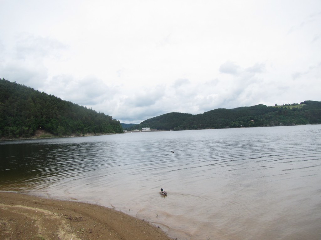
Mag02 Orlická přehrada - zmenšeno
Svatý Jan
karelstein station

Schlosspark von Schloss Dobris
Orlík - Spálenka

Dobříš
Živohošť (okres Příbram), kostel

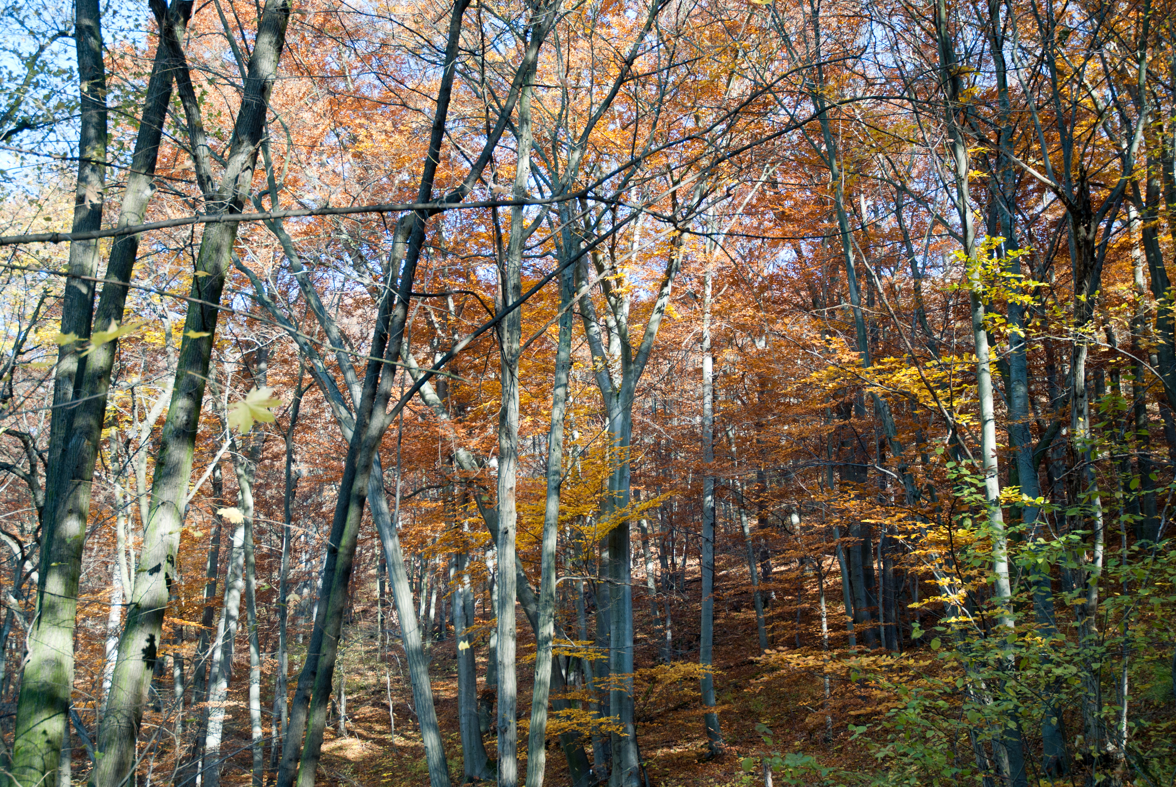
The Fall

Chateau Dobříš
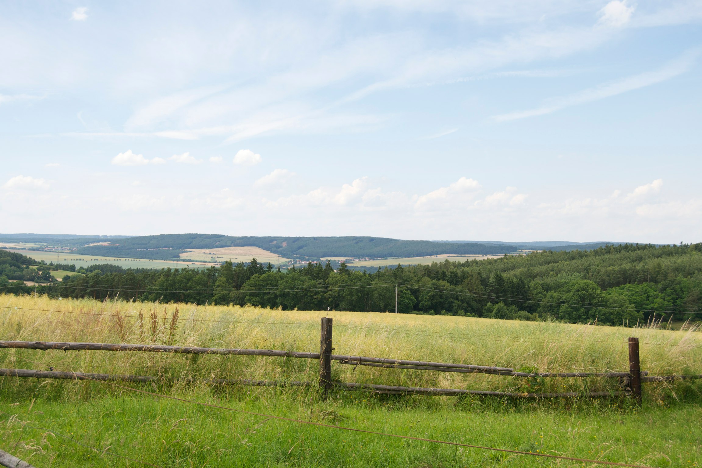
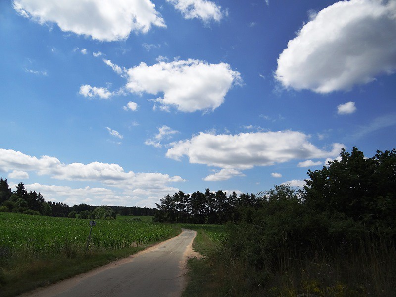
Czech countryside (Near Nový Knín)
Topographic Map of Hrachov, 56 Svatý Jan, Czech Republic
Find elevation by address:

Places near Hrachov, 56 Svatý Jan, Czech Republic:
Hříměždice
Vestec 38, 01 Hřiměždice, Czech Republic
Vestec
Hrachov
Vaječník 2, 01 Nečín, Czech Republic
Vaječník
Nečín
Svatý Jan
Borotice
Borotice, Čelina 1, 15 Borotice, Czech Republic
Čelina 1
Milešov
Klenovice
Úsuší 4, 01 Kňovice, Czech Republic
Úsuší
Kňovice
Klenovice, 56 Milešov, Czech Republic
Drásov 29, 01 Drásov, Czech Republic
Nechvalice
Drásov
Recent Searches:
- Elevation of Corso Fratelli Cairoli, 35, Macerata MC, Italy
- Elevation of Tallevast Rd, Sarasota, FL, USA
- Elevation of 4th St E, Sonoma, CA, USA
- Elevation of Black Hollow Rd, Pennsdale, PA, USA
- Elevation of Oakland Ave, Williamsport, PA, USA
- Elevation of Pedrógão Grande, Portugal
- Elevation of Klee Dr, Martinsburg, WV, USA
- Elevation of Via Roma, Pieranica CR, Italy
- Elevation of Tavkvetili Mountain, Georgia
- Elevation of Hartfords Bluff Cir, Mt Pleasant, SC, USA