Elevation of NE 1st St, Hoxie, AR, USA
Location: United States > Arkansas > Lawrence County > Ashland Township > Minturn >
Longitude: -91.026831
Latitude: 35.9752108
Elevation: 80m / 262feet
Barometric Pressure: 100KPa
Elevation Map:
Satellite Map:
Related Photos:
Powhatan Historic State Park (Ark.), 16 February 2010
White Oak Slough-Side View

Black Spice Ditch-Side View
Lake Charles Panorama 1

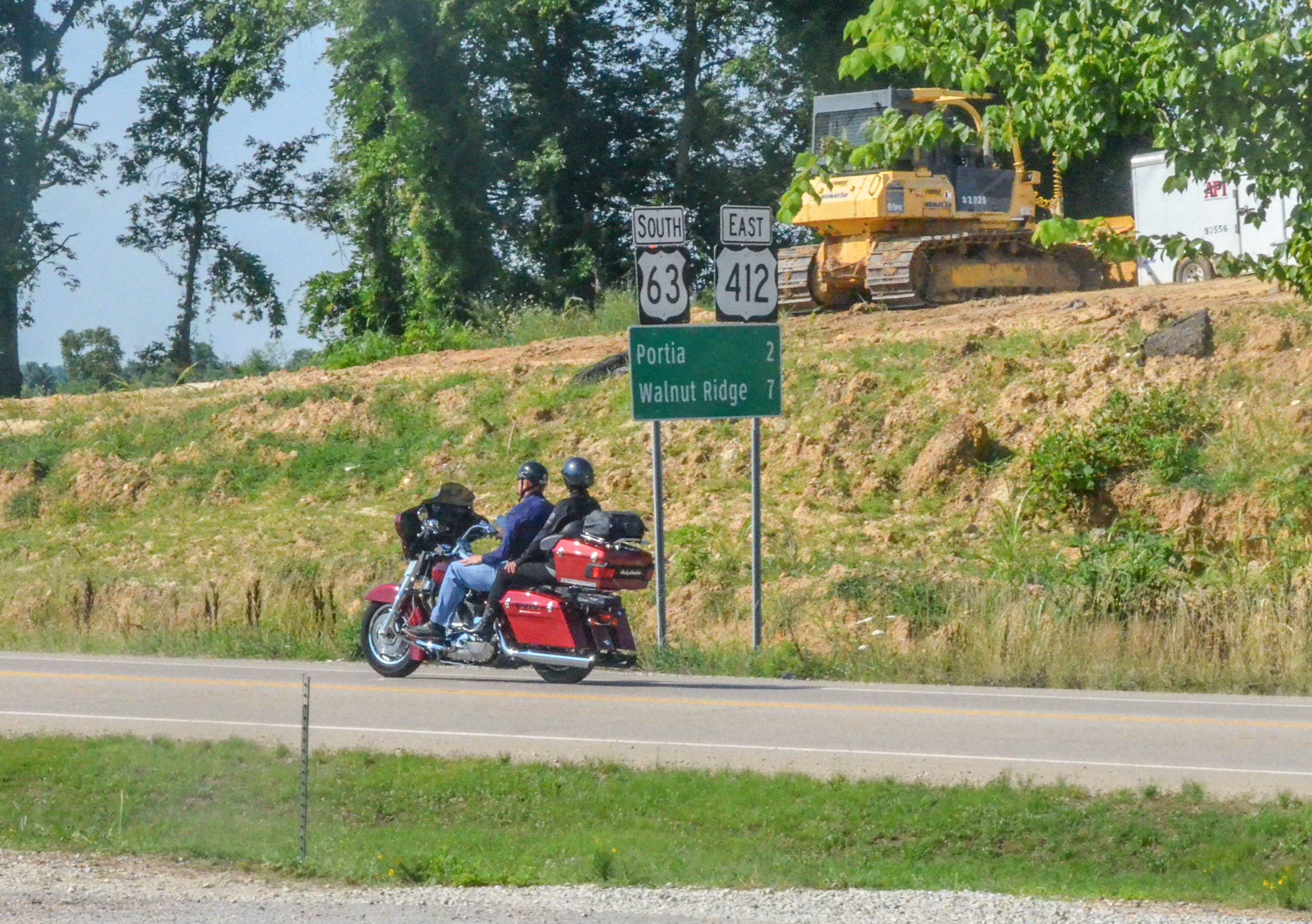
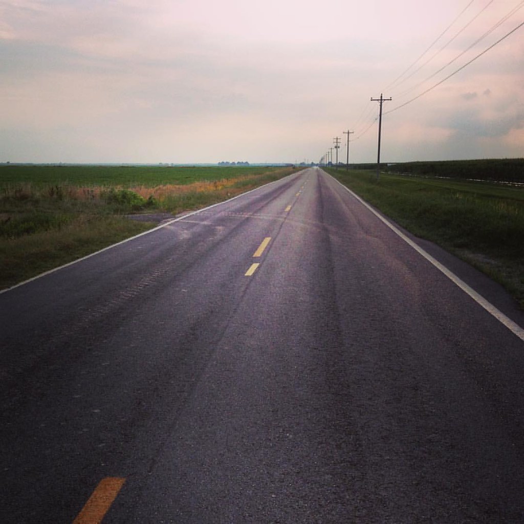
On the way to Pocahontas.
White Oak Slough-North Approach
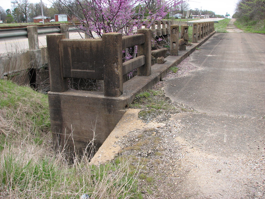
White Oak Slough-Abutment

White Oak Slough-South Approach
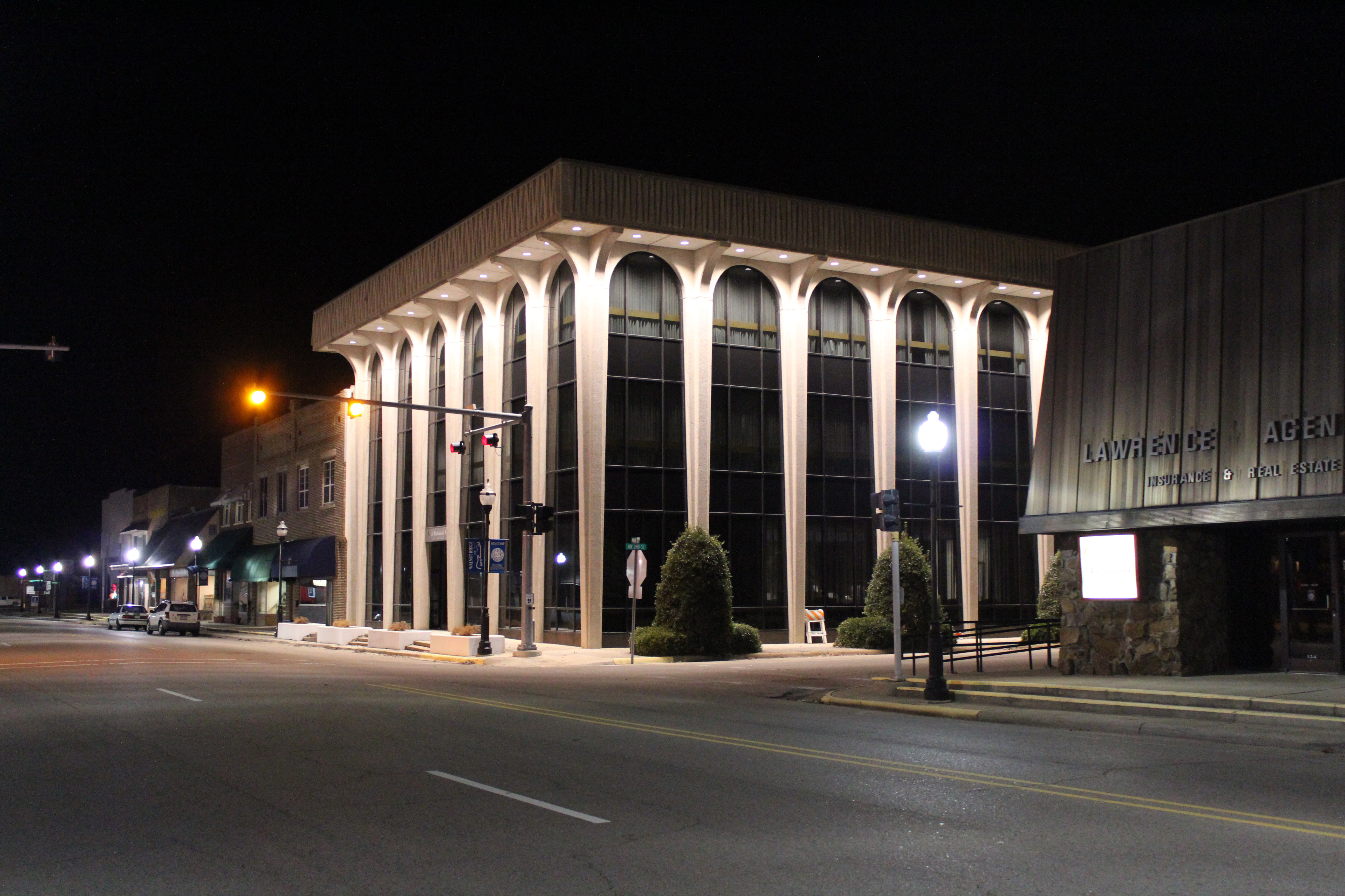
First National Bank

DSC_6470.jpg

DSC_6482.jpg

DSC_6481.jpg

DSC_6480.jpg
DSC_6479.jpg

DSC_6478.jpg

2014-05-14 10.33.54 1
2014-05-14 10.33.54 1

#Elvis has not left the building. #walnutridge
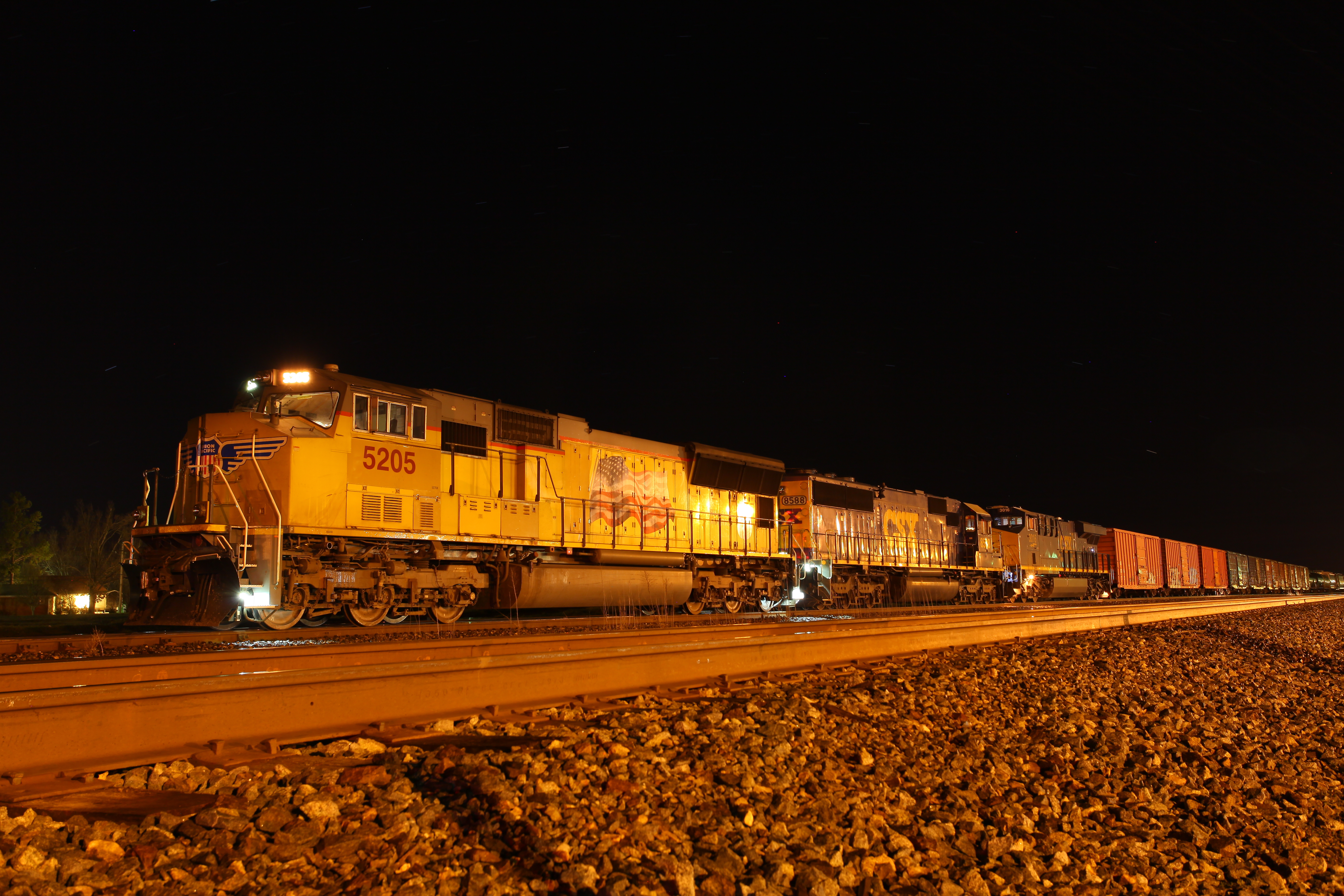
UP QNLIN 11 No Room In The Inn

BNSF V BIRRIC1 10 Sweet Sun

Hwy. 67 ribbon cutting
It is this - a journey. Love is the road.

Black Spice Ditch-South Approach
Topographic Map of NE 1st St, Hoxie, AR, USA
Find elevation by address:

Places near NE 1st St, Hoxie, AR, USA:
Minturn
Ashland Township
Lawrence Rd, Alicia, AR, USA
Marion Township
Boas Township
Lawrence Township
SW Lindsey St, Hoxie, AR, USA
Hoxie
Alicia
Law, Hoxie, AR, USA
824 Sw 3rd St
414 Kentucky St
Lawrence County
Law, Alicia, AR, USA
1051 W Free St
Walnut Ridge
E Front St, Portia, AR, USA
US-63, Walnut Ridge, AR, USA
Kings Hwy, Egypt, AR, USA
Promised Land Township
Recent Searches:
- Elevation of Corso Fratelli Cairoli, 35, Macerata MC, Italy
- Elevation of Tallevast Rd, Sarasota, FL, USA
- Elevation of 4th St E, Sonoma, CA, USA
- Elevation of Black Hollow Rd, Pennsdale, PA, USA
- Elevation of Oakland Ave, Williamsport, PA, USA
- Elevation of Pedrógão Grande, Portugal
- Elevation of Klee Dr, Martinsburg, WV, USA
- Elevation of Via Roma, Pieranica CR, Italy
- Elevation of Tavkvetili Mountain, Georgia
- Elevation of Hartfords Bluff Cir, Mt Pleasant, SC, USA