Elevation of Naustdal-Gjengedal, Gloppen, Norway
Location: Norway > Sogn Og Fjordane >
Longitude: 6.1768791
Latitude: 61.6784214
Elevation: 818m / 2684feet
Barometric Pressure: 92KPa
Elevation Map:
Satellite Map:
Related Photos:
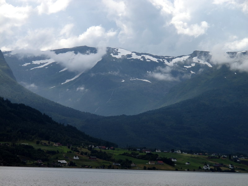
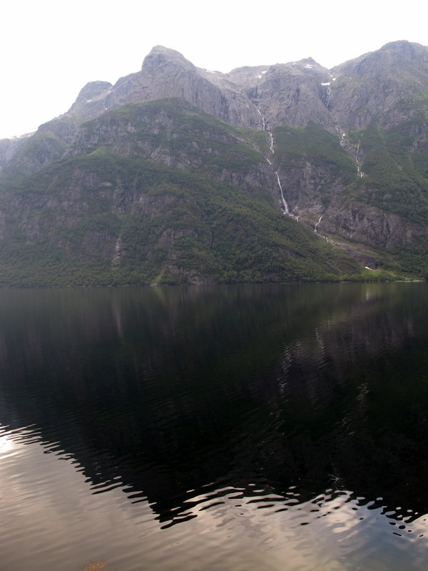
IMG_0135.JPG
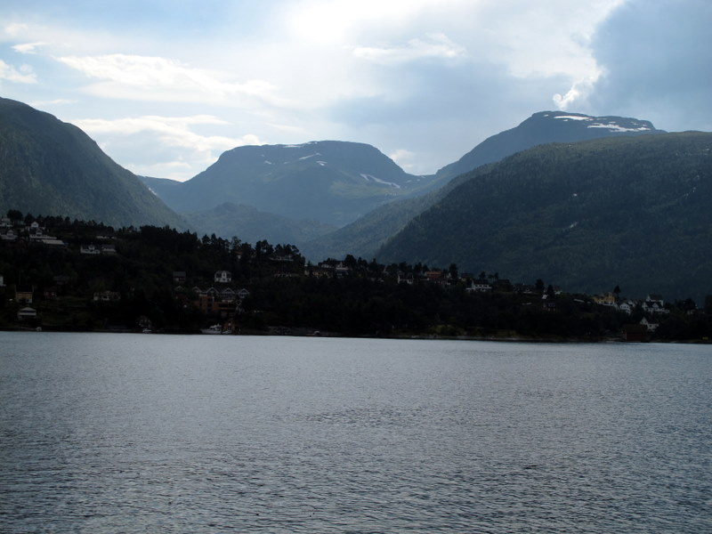
IMG_0136.JPG
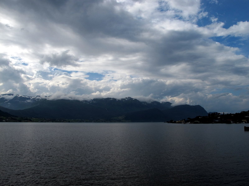
IMG_0133.JPG
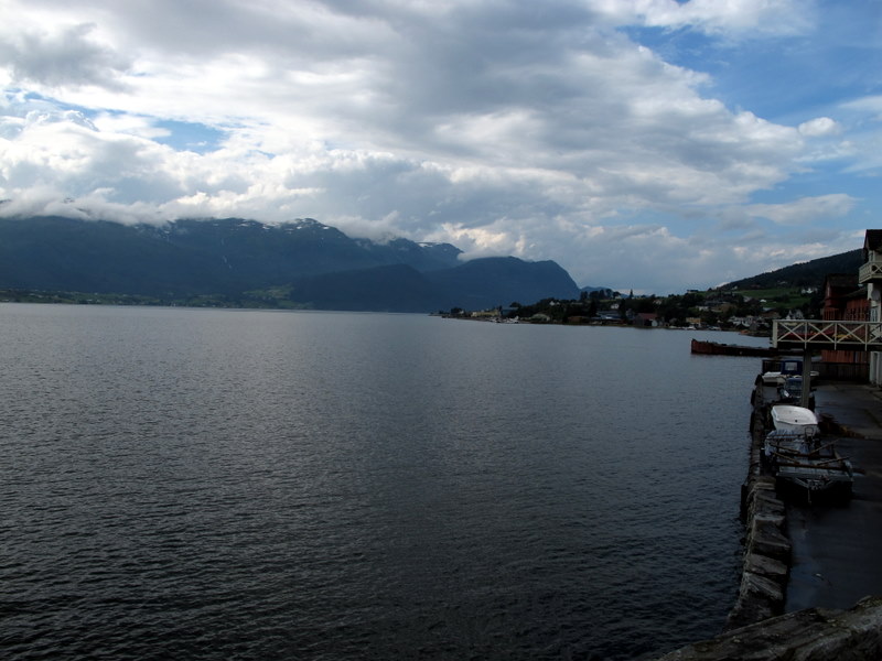
IMG_0134.JPG
IMG_0138.JPG

Pictures of the sun rising slightly above the mountains. Fascinating.

Pictures of the sun rising slightly above the mountains. Fascinating.
Topographic Map of Naustdal-Gjengedal, Gloppen, Norway
Find elevation by address:

Places near Naustdal-Gjengedal, Gloppen, Norway:
Fv 50, Vassenden, Norway
Fv, Førde, Norway
Sogn Og Fjordane
Fv, Naustdal, Norway
Jølster
E39 20, Førde, Norway
Fv, Førde, Norway
Naustdal
Førde
Førde
Fv 50, Naustdal, Norway
Øyrane 12, Førde, Norway
Rv5 40, Førde, Norway
Høyanger
Rv60 40, Innvik, Norway
Balestrand
Fv, Skei i Jølster, Norway
Vadheim
Balestrand
Fjærland
Recent Searches:
- Elevation of Corso Fratelli Cairoli, 35, Macerata MC, Italy
- Elevation of Tallevast Rd, Sarasota, FL, USA
- Elevation of 4th St E, Sonoma, CA, USA
- Elevation of Black Hollow Rd, Pennsdale, PA, USA
- Elevation of Oakland Ave, Williamsport, PA, USA
- Elevation of Pedrógão Grande, Portugal
- Elevation of Klee Dr, Martinsburg, WV, USA
- Elevation of Via Roma, Pieranica CR, Italy
- Elevation of Tavkvetili Mountain, Georgia
- Elevation of Hartfords Bluff Cir, Mt Pleasant, SC, USA