Elevation of Balestrand, Norway
Location: Norway > Sogn Og Fjordane > Balestrand >
Longitude: 6.5262627
Latitude: 61.204367
Elevation: 12m / 39feet
Barometric Pressure: 101KPa
Elevation Map:
Satellite Map:
Related Photos:
fjord view from our room's balcony
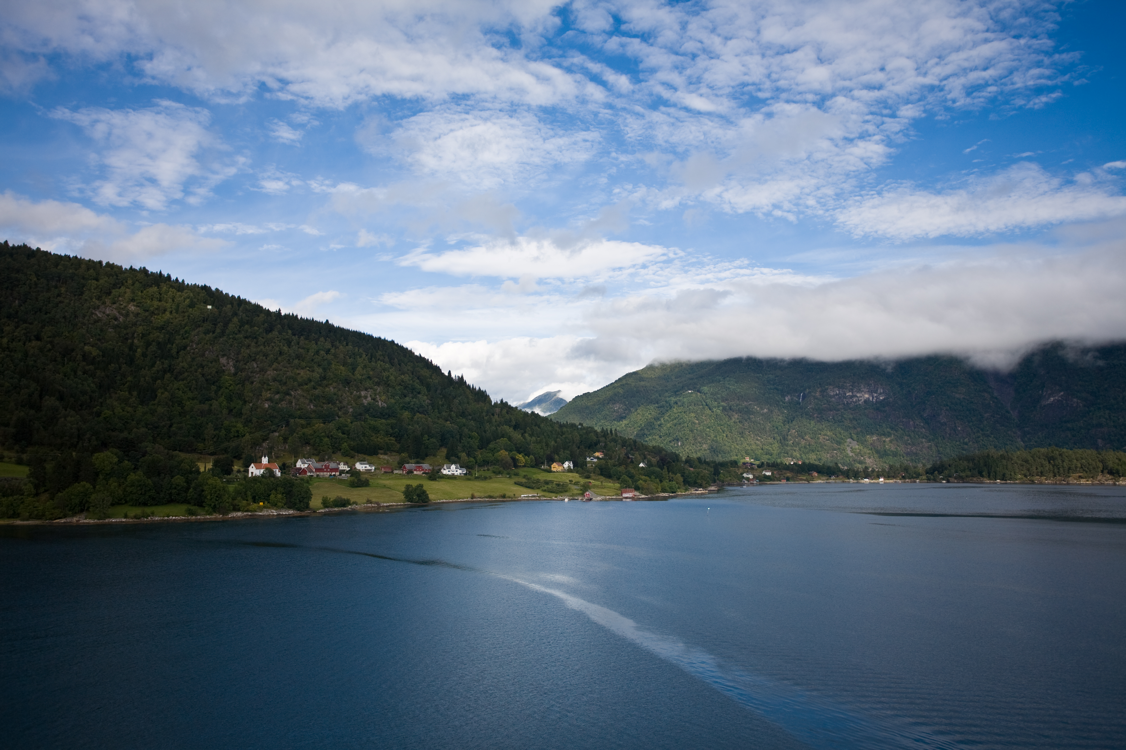
View towards Balestrand, Draksvik and Hella
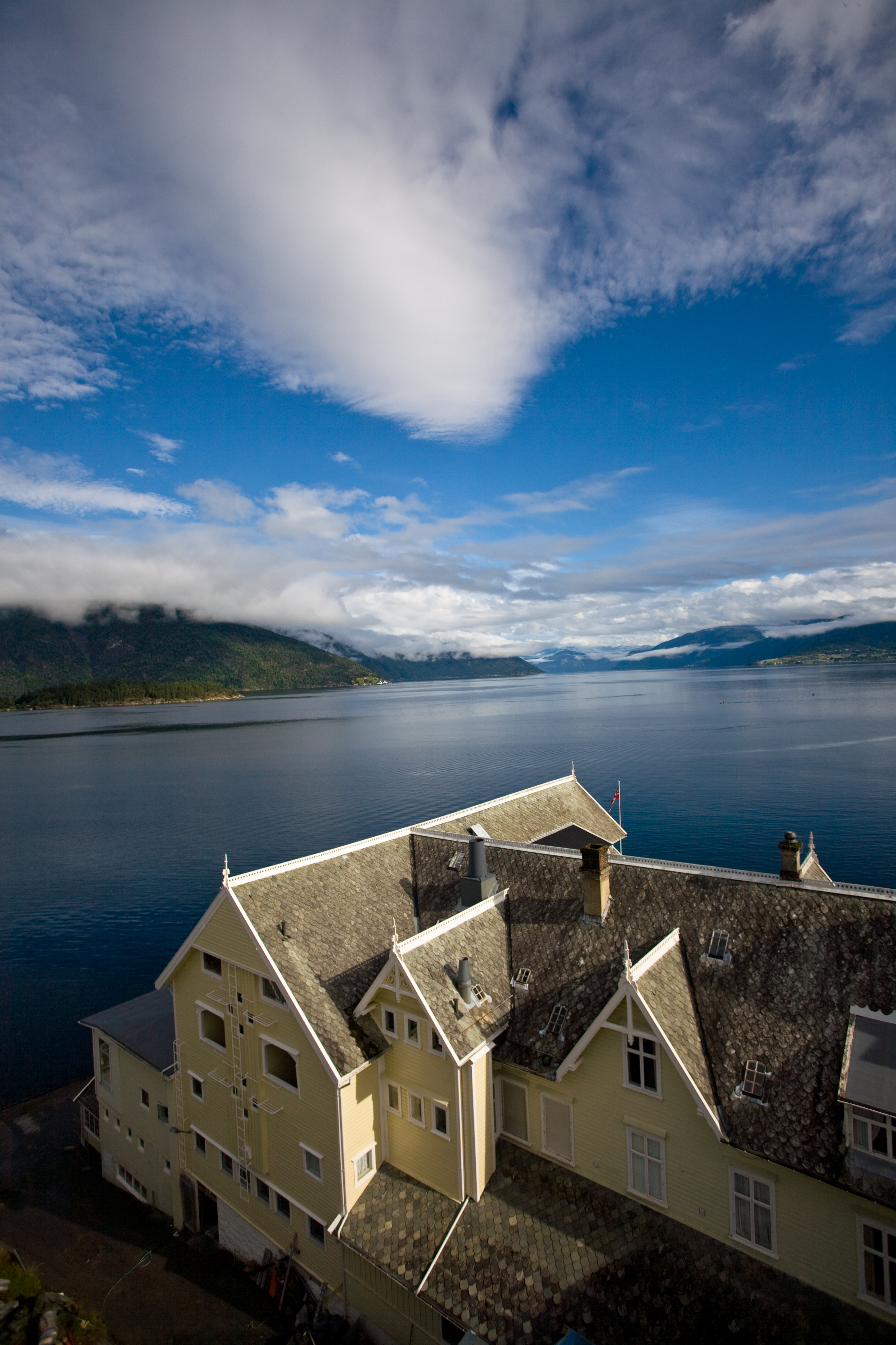
The sunny view from Kviknes Hotel

Typical Balestrand view on the summit day
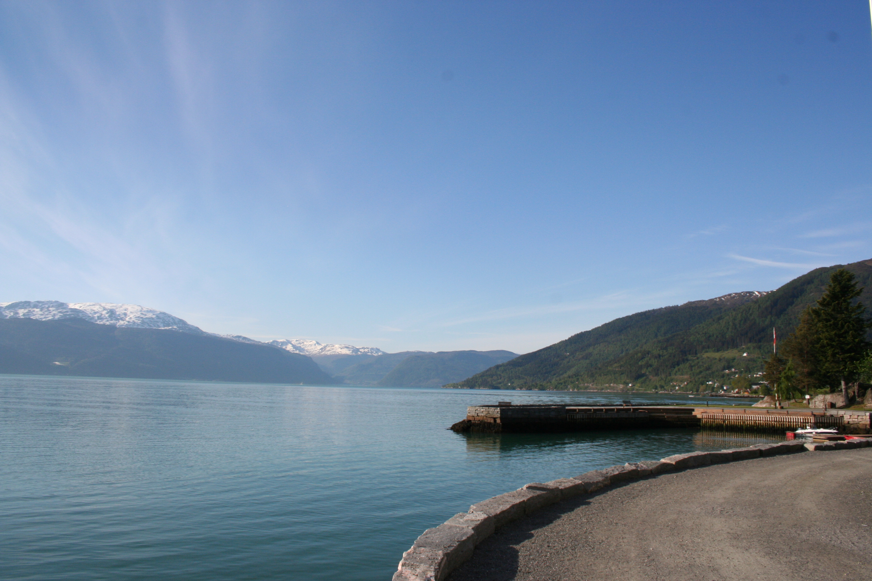
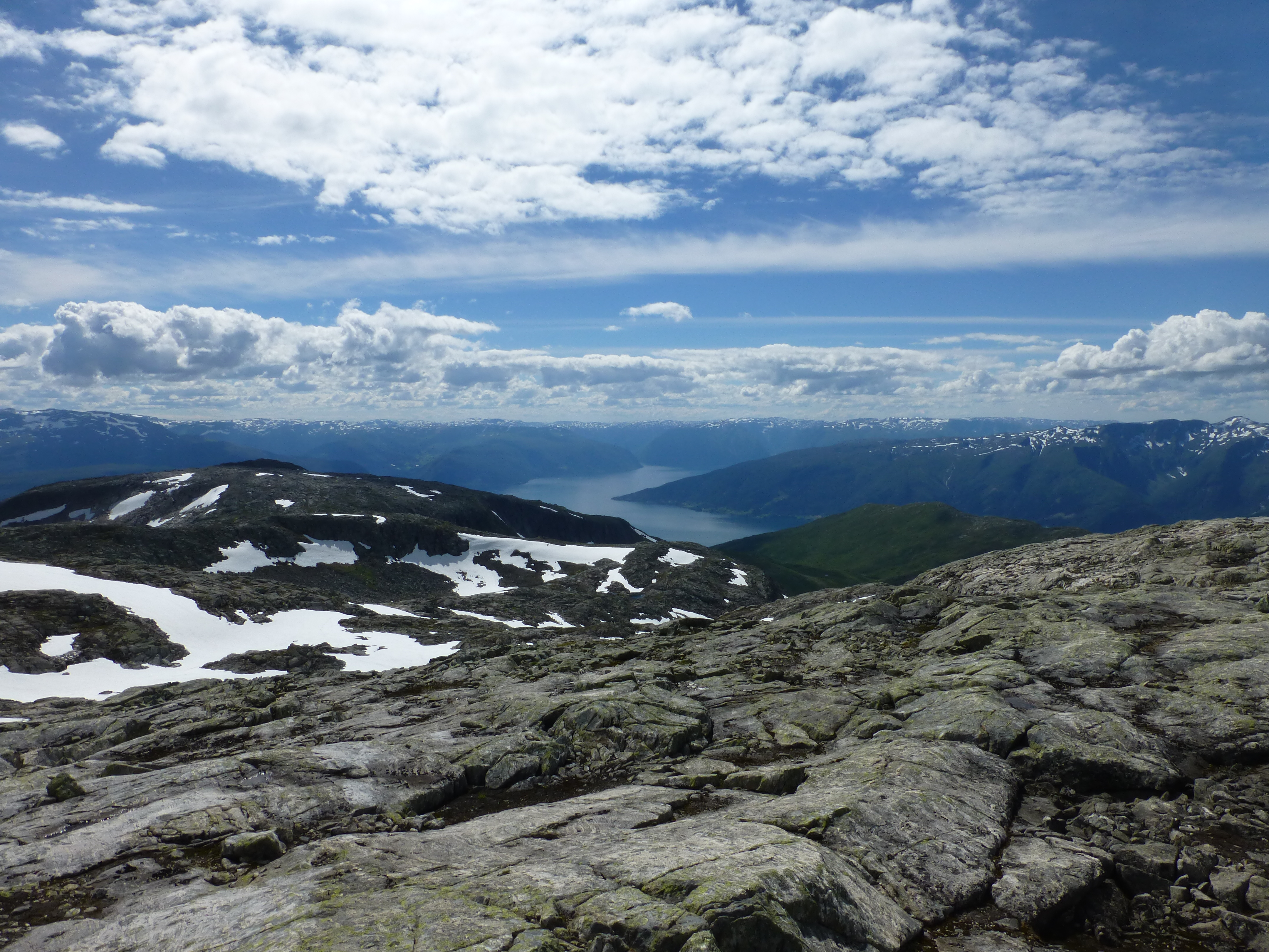
Sognefjord, view from Synshovden
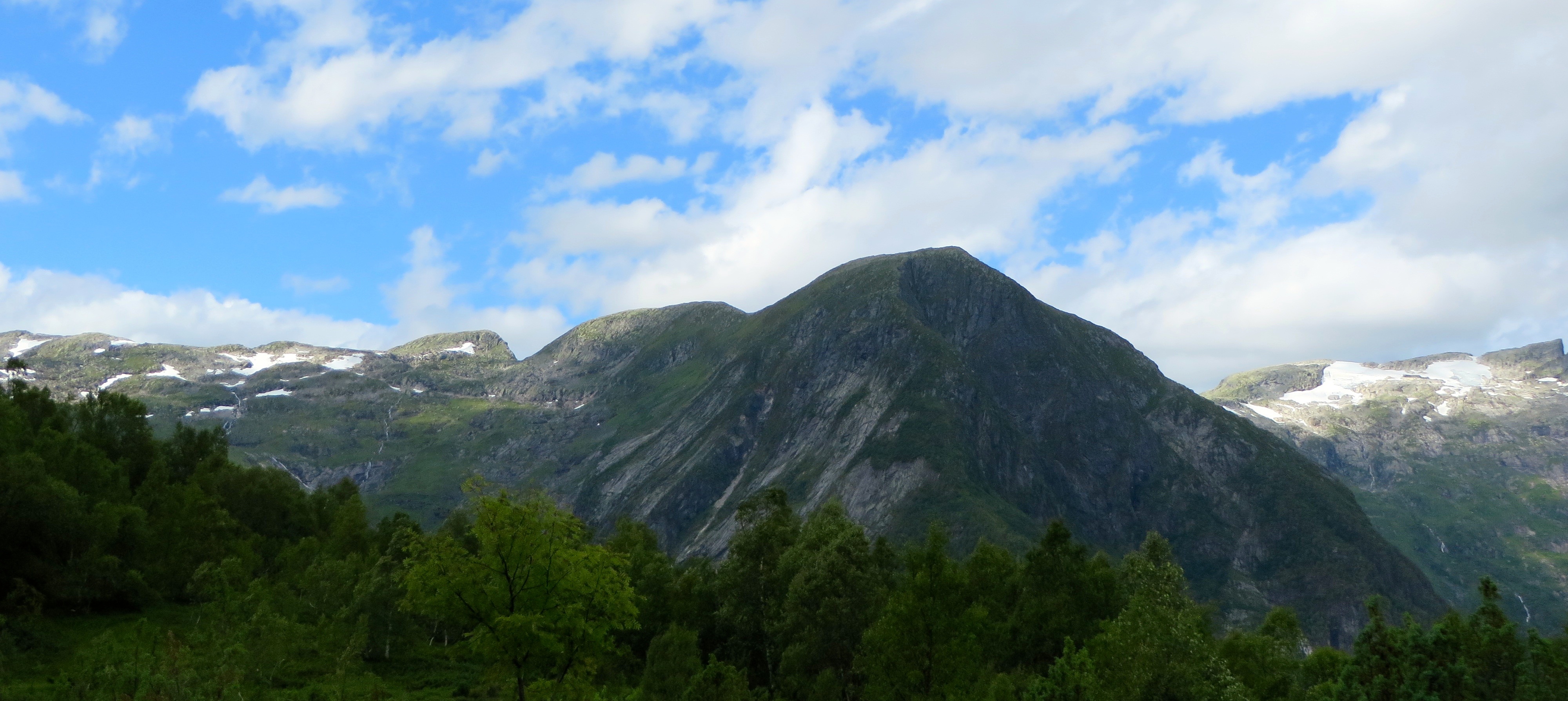
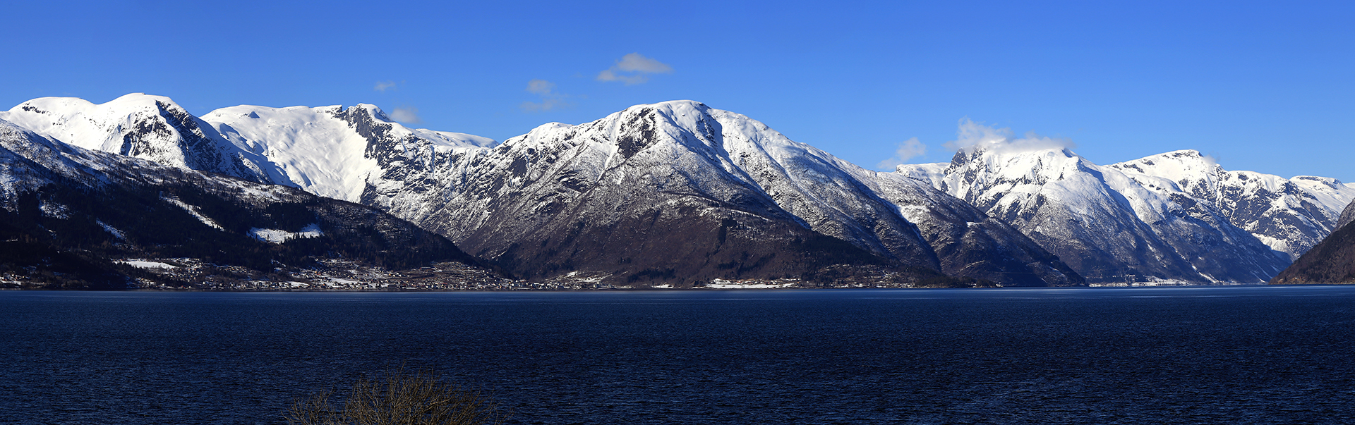
A View Of The Mountains Surrounding Balestrand
Sogn og Fjordane
Utsyn frå Stav
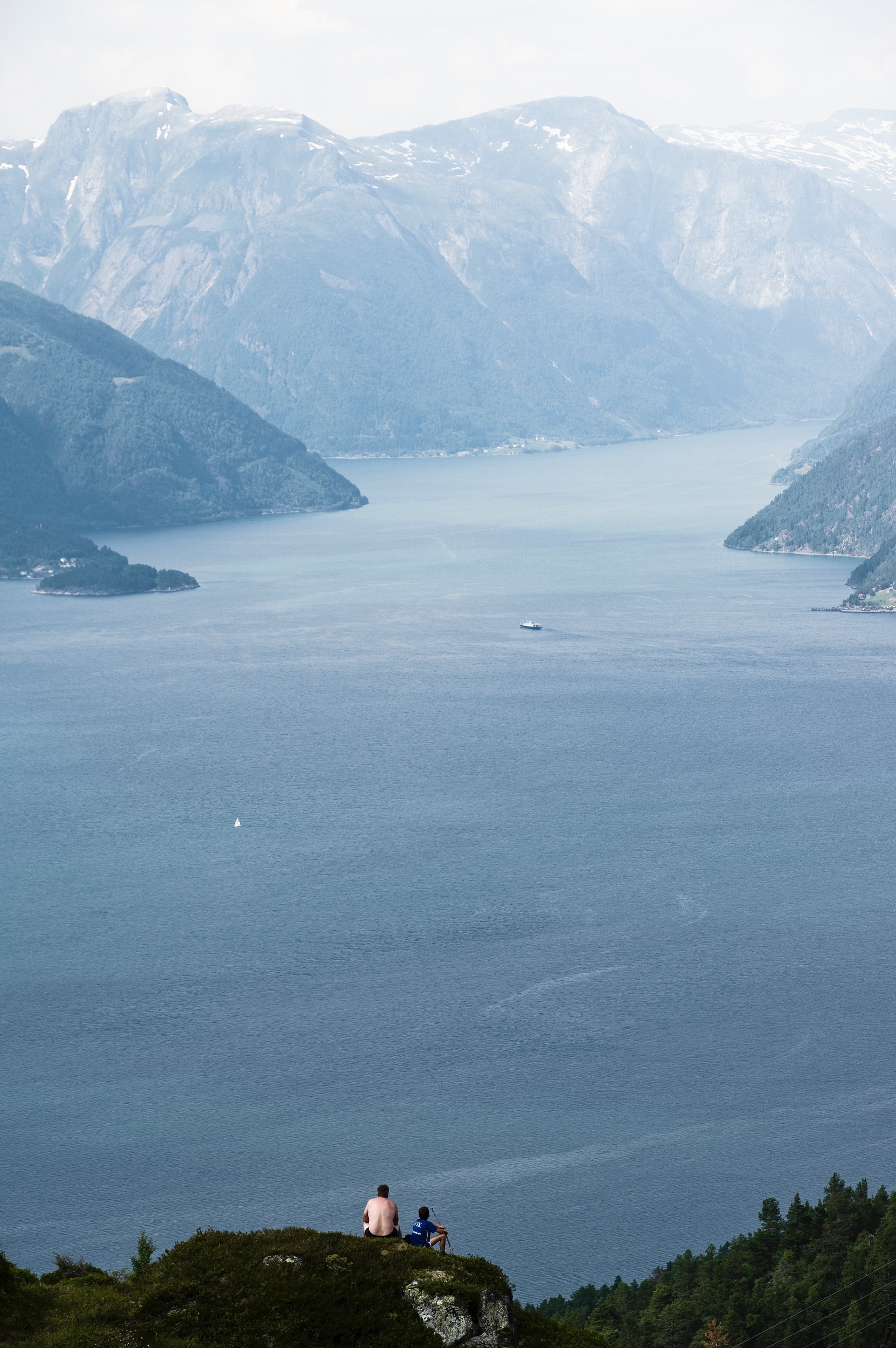
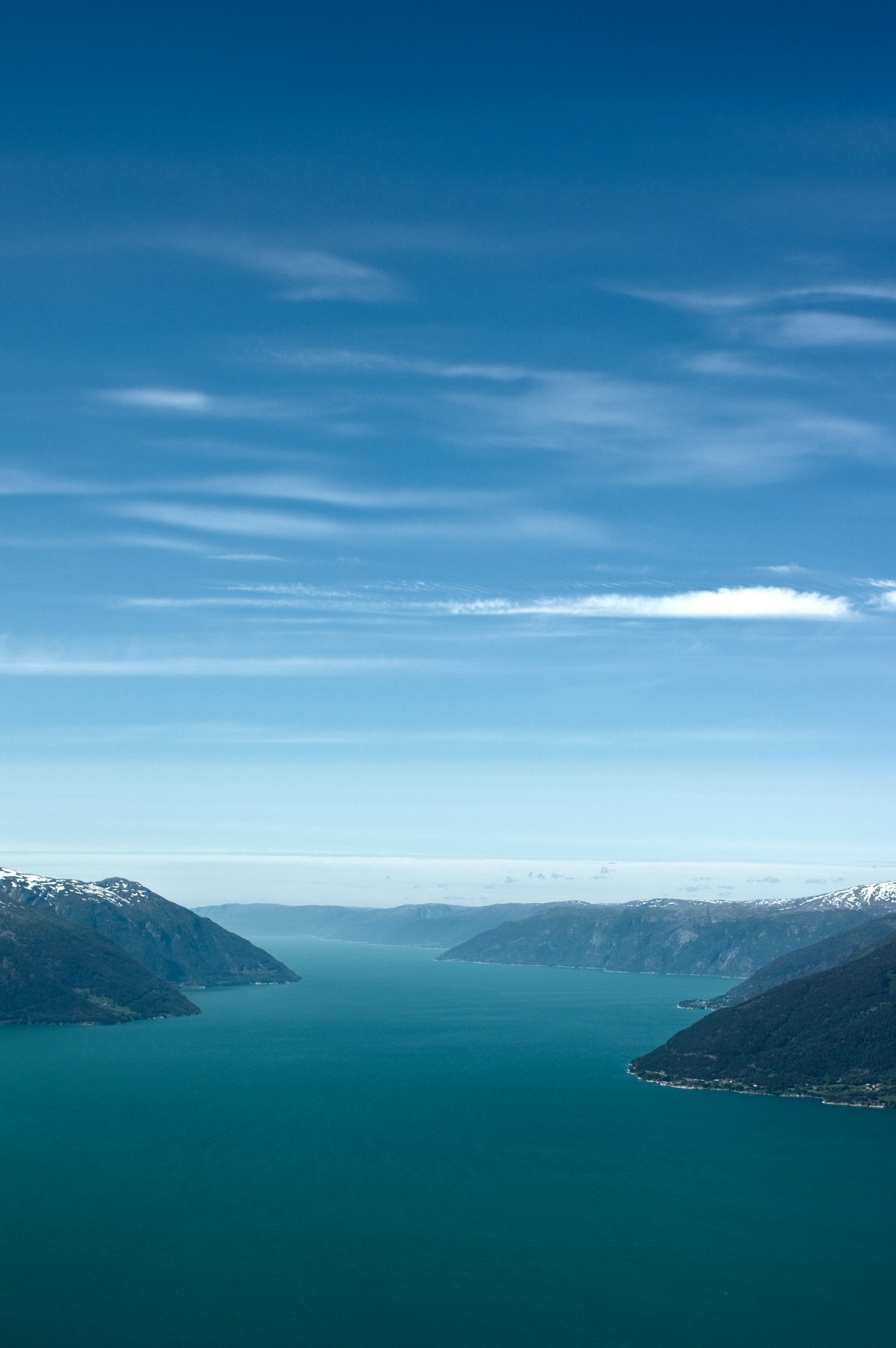
Sognefjord view
Nature has curves
Fjord View
Balestrand!
Topographic Map of Balestrand, Norway
Find elevation by address:

Places near Balestrand, Norway:
Sognefjorden
Balestrand
Vikøyri
Vik
Rv13 50, Vik i Sogn, Norway
Fjærland
Myrkdalen
Jølster
Myrkdalen Skianlegg
Sogn Og Fjordane
Fv 50, Vassenden, Norway
E16 20, Gudvangen, Norway
Fv 10, Sogndal, Norway
Høyanger
Fv, Gudvangen, Norway
E16, Gudvangen, Norway
Fv, Skei i Jølster, Norway
Tvinde Camping As
Fv 20, Sogndal, Norway
Nærøyfjord
Recent Searches:
- Elevation of Corso Fratelli Cairoli, 35, Macerata MC, Italy
- Elevation of Tallevast Rd, Sarasota, FL, USA
- Elevation of 4th St E, Sonoma, CA, USA
- Elevation of Black Hollow Rd, Pennsdale, PA, USA
- Elevation of Oakland Ave, Williamsport, PA, USA
- Elevation of Pedrógão Grande, Portugal
- Elevation of Klee Dr, Martinsburg, WV, USA
- Elevation of Via Roma, Pieranica CR, Italy
- Elevation of Tavkvetili Mountain, Georgia
- Elevation of Hartfords Bluff Cir, Mt Pleasant, SC, USA