Elevation of Natuseko Primary School, Kabwe, Zambia
Location: Zambia > Central Province > Kabwe > Kabwe >
Longitude: 28.4600562
Latitude: -14.406775
Elevation: 1184m / 3885feet
Barometric Pressure: 88KPa
Elevation Map:
Satellite Map:
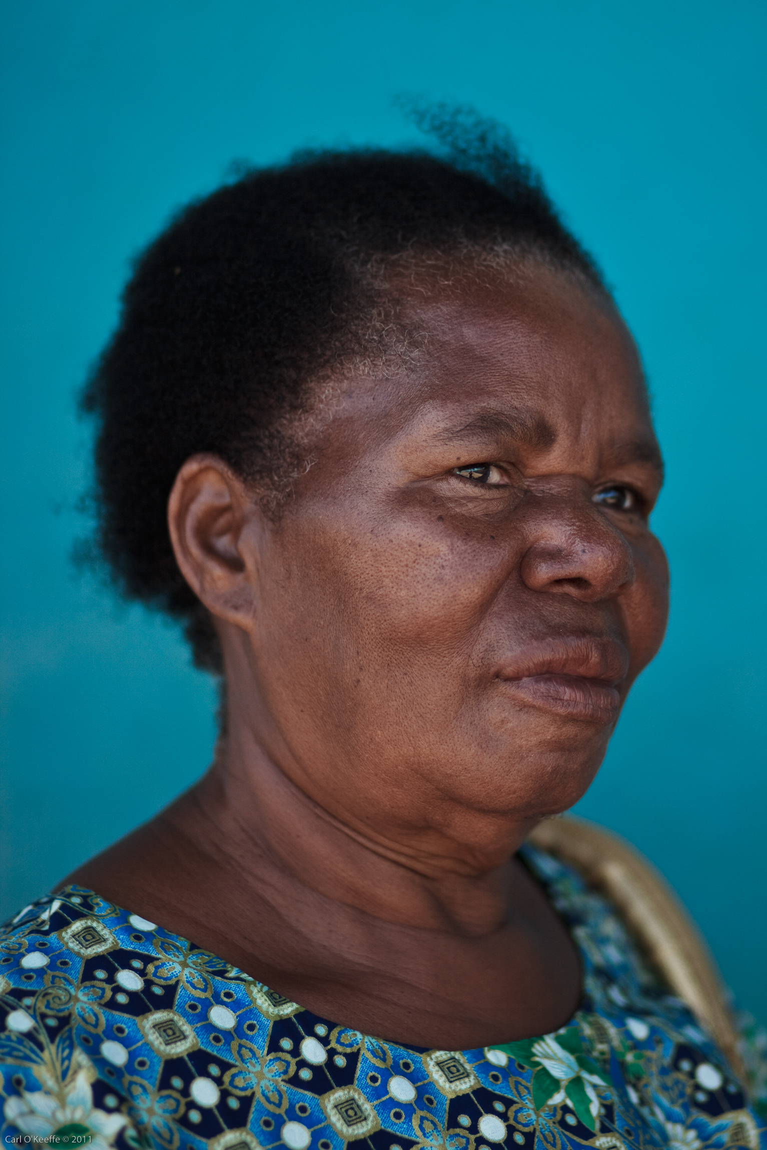
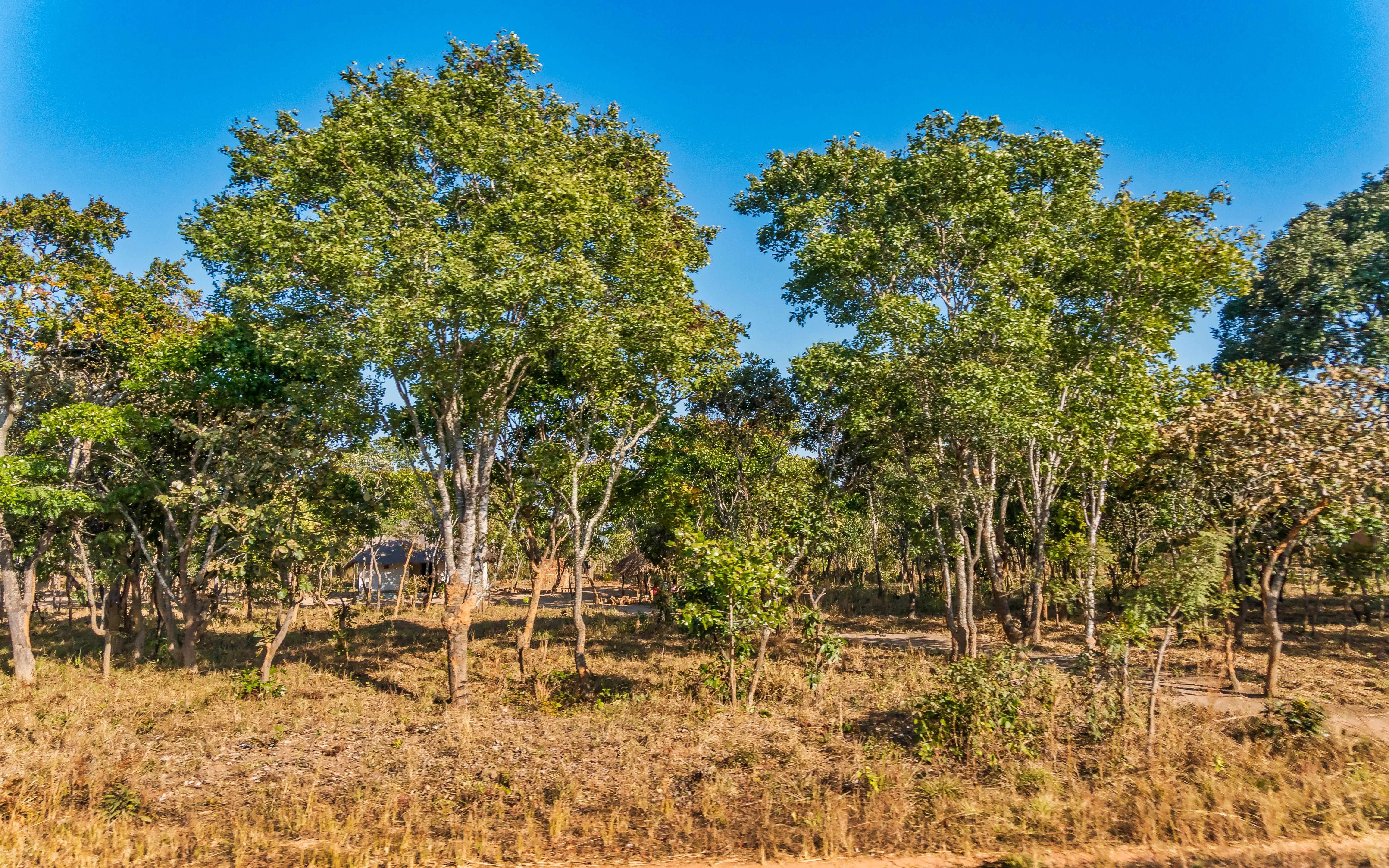
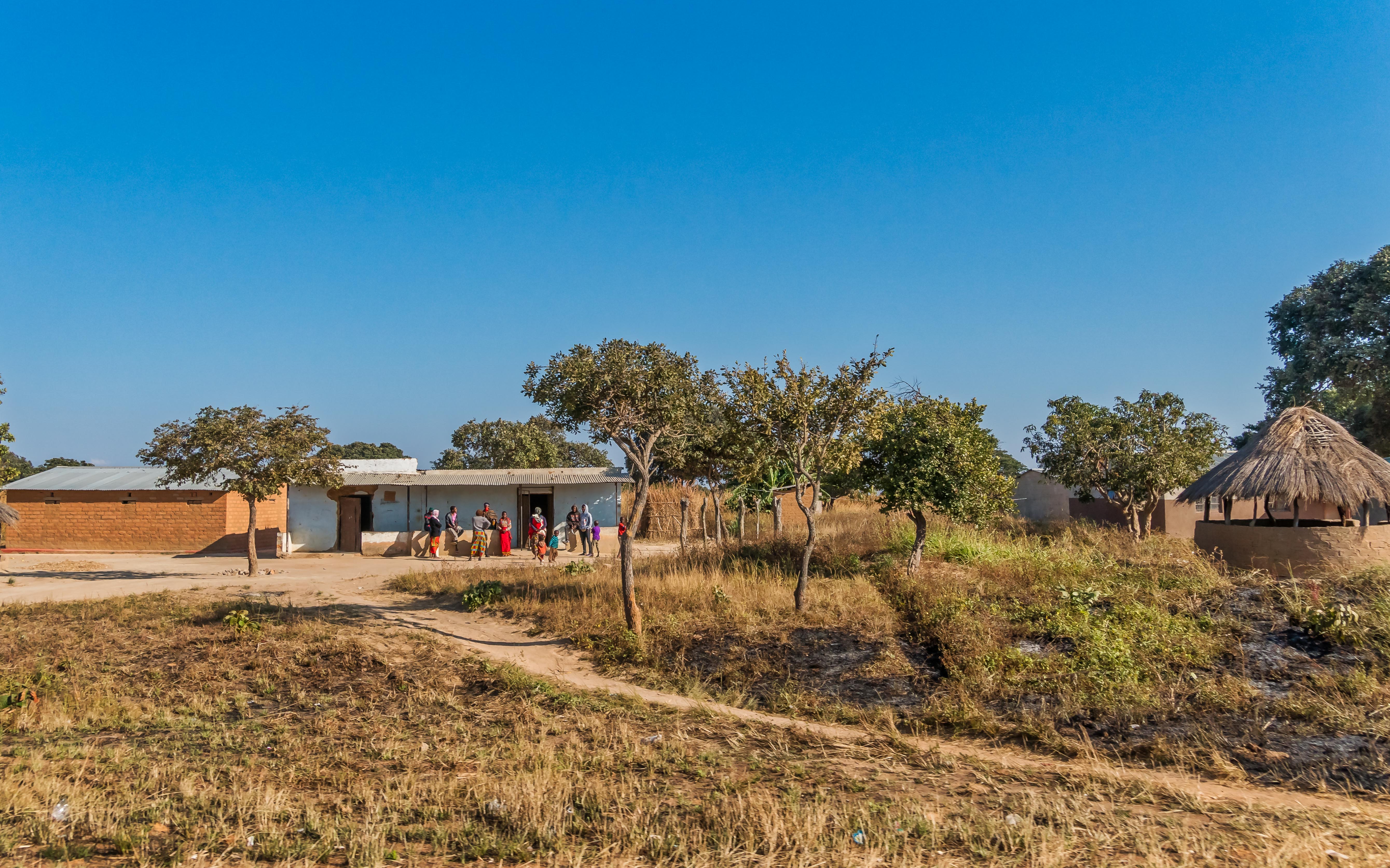
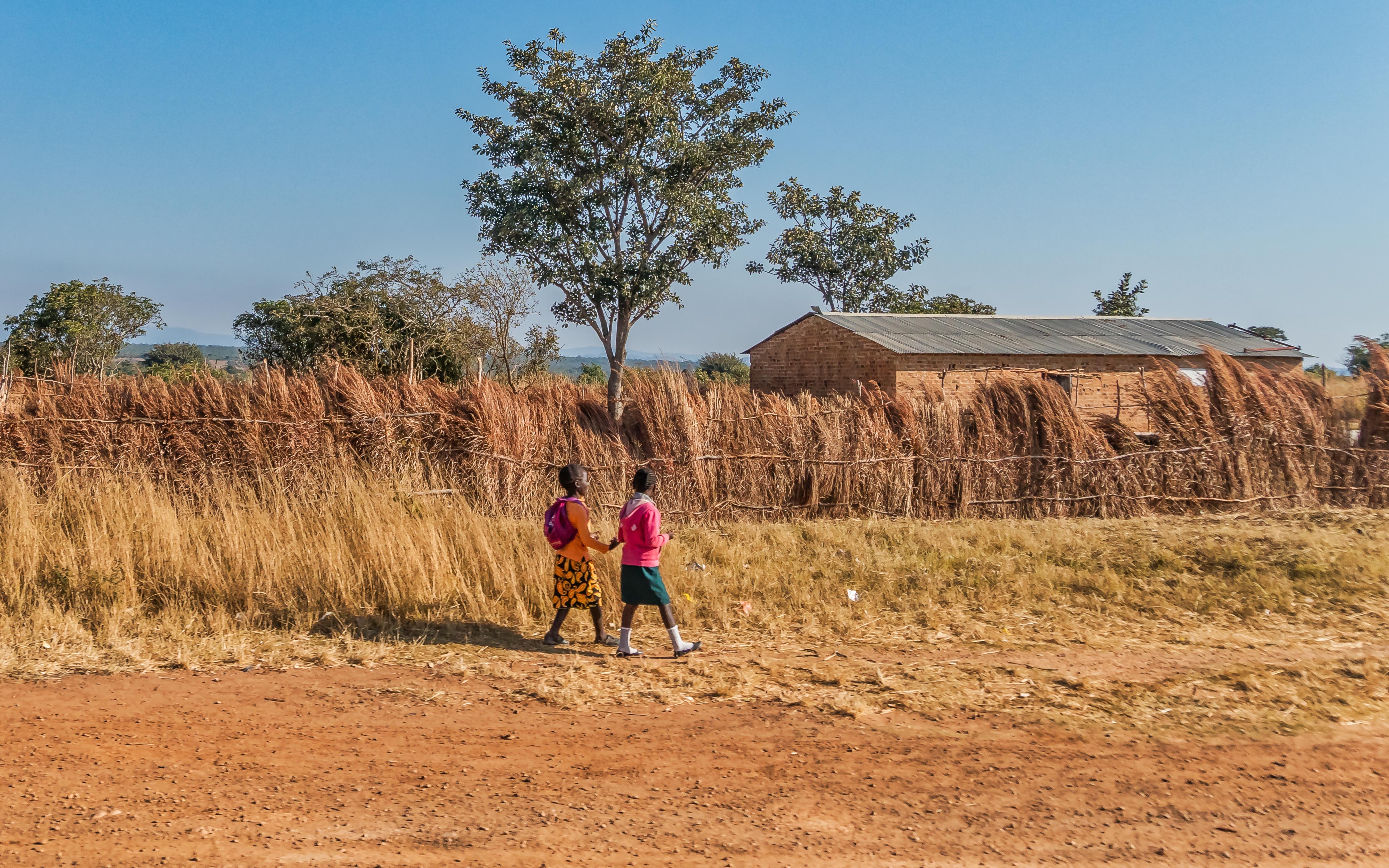
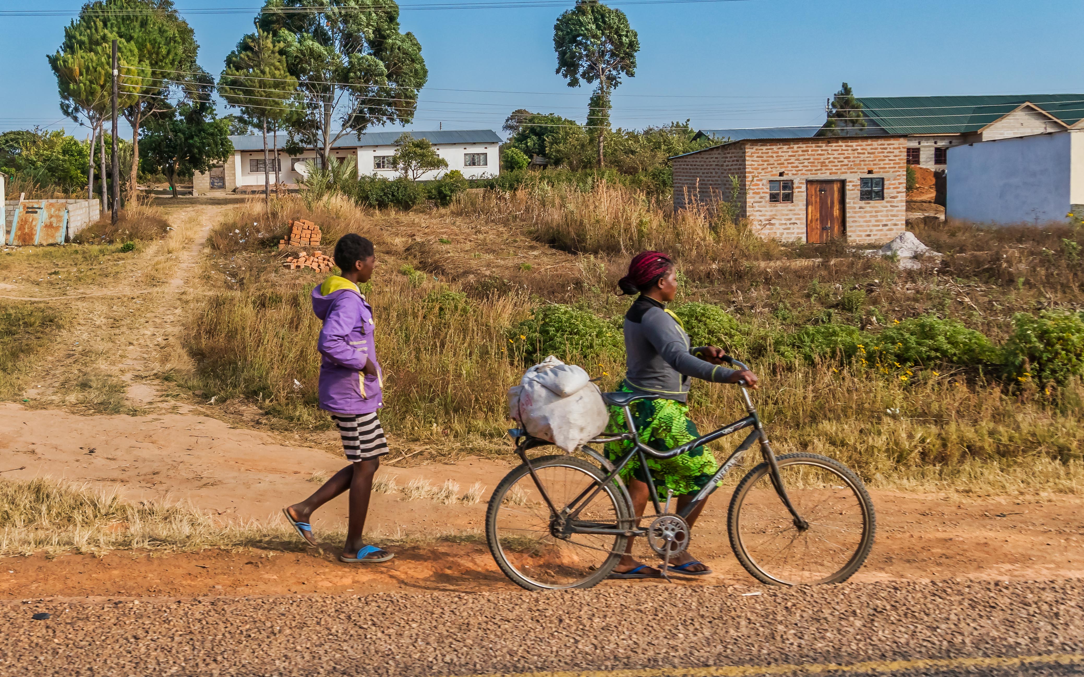
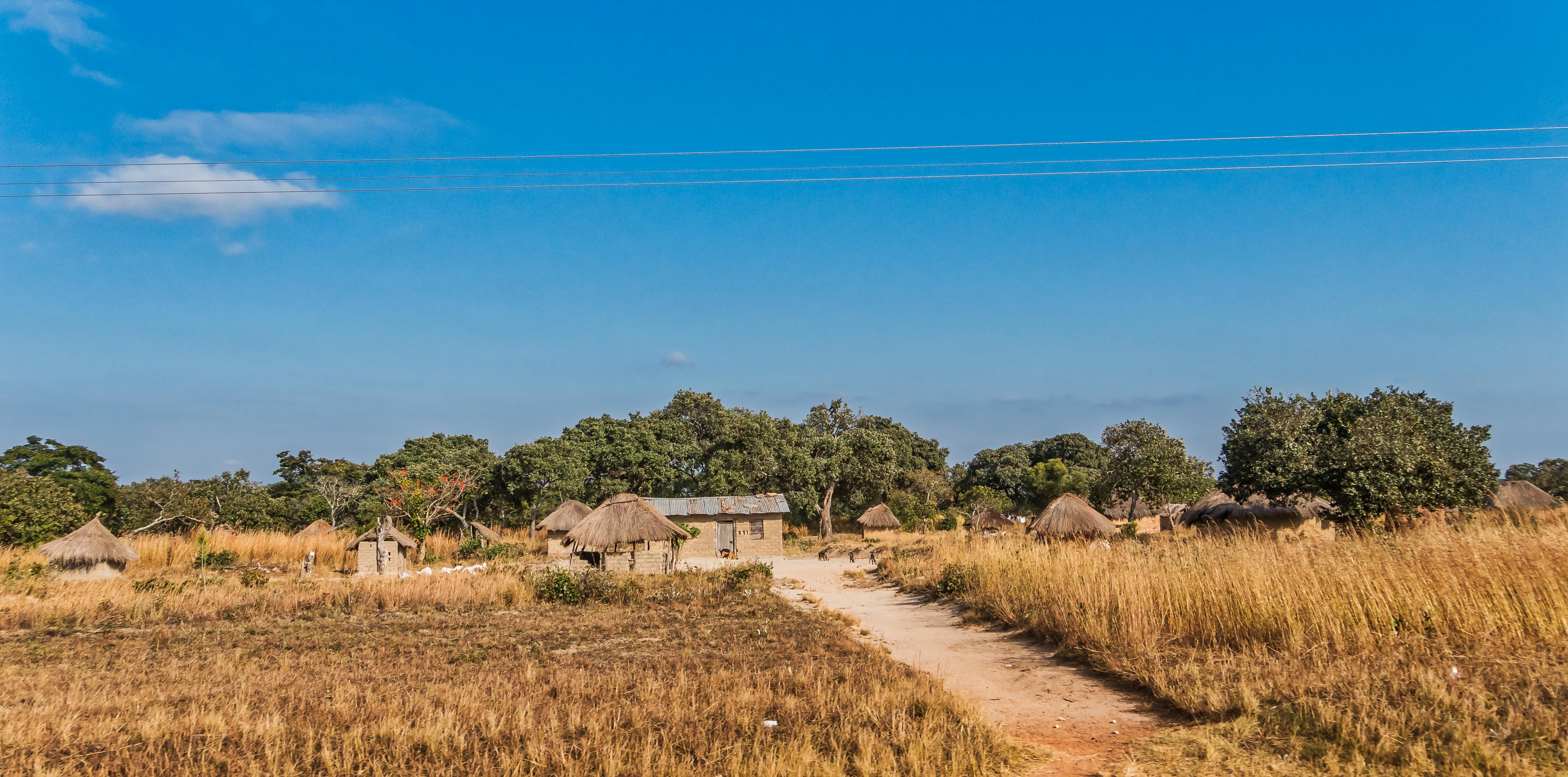
Related Photos:
TWAFWANE COMMUNITY SCHOOL PTA
Zambia-1212
Zambia-1214
Zambia-1213
Zambia-1215
Zambia-1216
Zambia-1217
Zambia-1218
2015 04 24 m
2015 04 24 j1
2015 04 24 k1
Topographic Map of Natuseko Primary School, Kabwe, Zambia
Find elevation by address:

Places near Natuseko Primary School, Kabwe, Zambia:
Kabwe
Kabwe
Central Province
Ngwezi Road
Roma
Lusaka
Mutende Road
Chipongwe Road
Woodlands
Lusaka
Lusaka Province
Recent Searches:
- Elevation of Corso Fratelli Cairoli, 35, Macerata MC, Italy
- Elevation of Tallevast Rd, Sarasota, FL, USA
- Elevation of 4th St E, Sonoma, CA, USA
- Elevation of Black Hollow Rd, Pennsdale, PA, USA
- Elevation of Oakland Ave, Williamsport, PA, USA
- Elevation of Pedrógão Grande, Portugal
- Elevation of Klee Dr, Martinsburg, WV, USA
- Elevation of Via Roma, Pieranica CR, Italy
- Elevation of Tavkvetili Mountain, Georgia
- Elevation of Hartfords Bluff Cir, Mt Pleasant, SC, USA