Elevation map of Central Province, Zambia
Location: Zambia >
Longitude: 28.299435
Latitude: -14.311226
Elevation: 1164m / 3819feet
Barometric Pressure: 88KPa
Elevation Map:
Satellite Map:
Related Photos:

High-bush Cranberries

The Summit of the Active and Mighty Stratovolcano 'Tungurahua' ('Throat of Fire' volcano) at 5,023 meters (16,479 feet) above sea level, Baños, the Central Highlands, Ecuador.

The Famous Volcanic-Crater Lake of Laguna Quilotoa at 3,870 meters (12,696 ft) MSL, Pujilí, Cotopaxi Province, Ecuador.

Laguna Quilotoa, 3,914 meters (12,841 ft) above sea level, Cotopaxi Province, Equador.
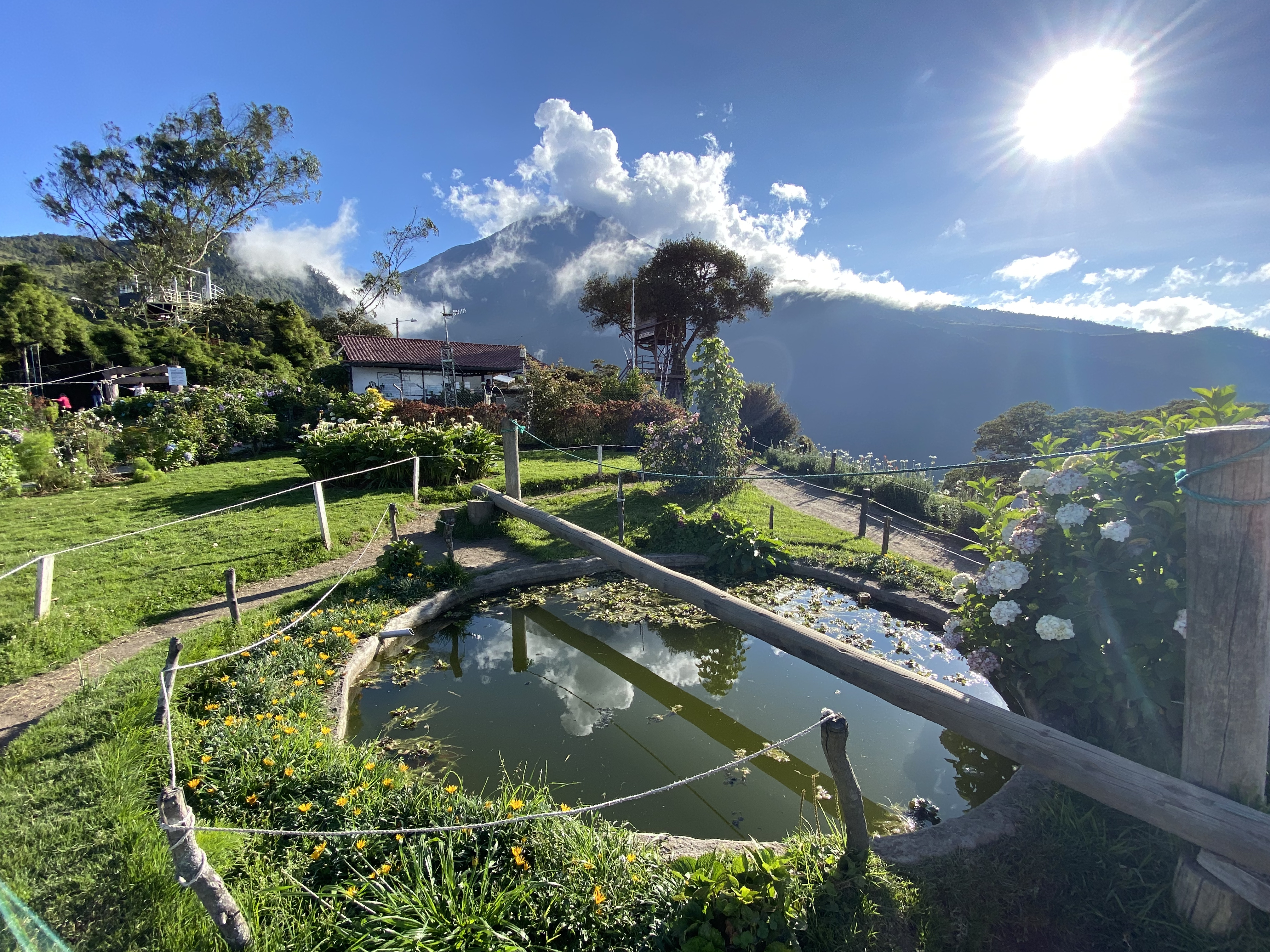
La Casa del Árbol at 2,660 meters (8,727 feet) above sea level, Baños, the Central Highlands, Ecuador.

Old General

201912_4477 Easter Island (Rapa Nui), Ahu Tongariki ???????? (15 Moai)

Climbing the Summit of the Active and Mighty Stratovolcano 'Tungurahua' ('Throat of Fire' volcano) at 5,023 meters (16,479 feet) above sea level, Baños, the Central Highlands, Ecuador.

Climbing the Summit of the Active and Mighty Stratovolcano 'Tungurahua' ('Throat of Fire' volcano) at 5,023 meters (16,479 feet) above sea level, Baños, the Central Highlands, Ecuador.
E30 at 3,530 meters (11581 ft) MSL, Pujulí, Central Highlands, Ecuador.

paths and roads

La Casa del Árbol at 2,660 meters (8,727 feet) above sea level, Baños, the Central Highlands, Ecuador.

View from the Brenner pass

Summit of Cerro Toco (Stratovolcano), 5,604 meters (18,386 ft) above sea level, the Purico Complex, the Atacama desert, Antofagasta, Chile.

La Casa del Árbol at 2,660 meters (8,727 feet) above sea level, Baños, the Central Highlands, Ecuador.

La Playita Quilotoa (trail), the Volcanic-Crater Lake of Laguna Quilotoa at 3,870 meters (12,696 ft) MSL, Pujilí, Cotopaxi Province, Ecuador.

Downhill Mountain Biking on Cotopaxi Volcano at 3,857 meters (12,654 ft), Park in Parque Nacional Cotopaxi, Ecuador.

Cotopaxi is an active stratovolcano at 4,620 meters (15,157 ft), Park in Parque Nacional Cotopaxi, Ecuador.

Downhill Mountain Biking on Cotopaxi Volcano at 4,620 meters (15,157 ft) above sea level, Park in Parque Nacional Cotopaxi, Ecuador.

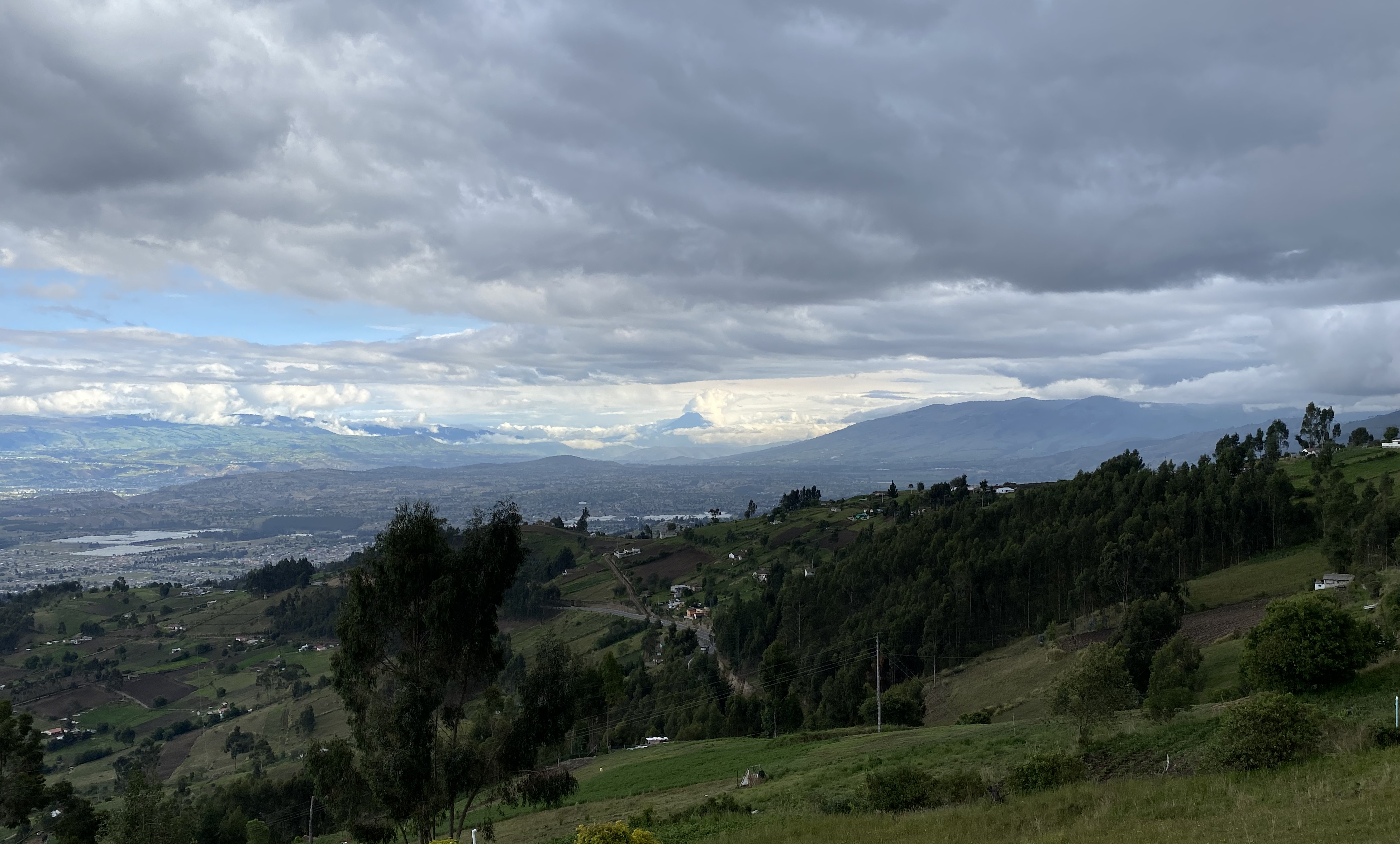
Jose's Home at 3,060 meters (10,039 feet) above sea level, Ambato, the Central Highlands, Ecuador.

Downhill Mountain Biking on Cotopaxi Volcano at 4,170 meters (13,681 ft), Park in Parque Nacional Cotopaxi, Ecuador.
Nelle nebbie del tempo / In the mists of time (Explore!!!)
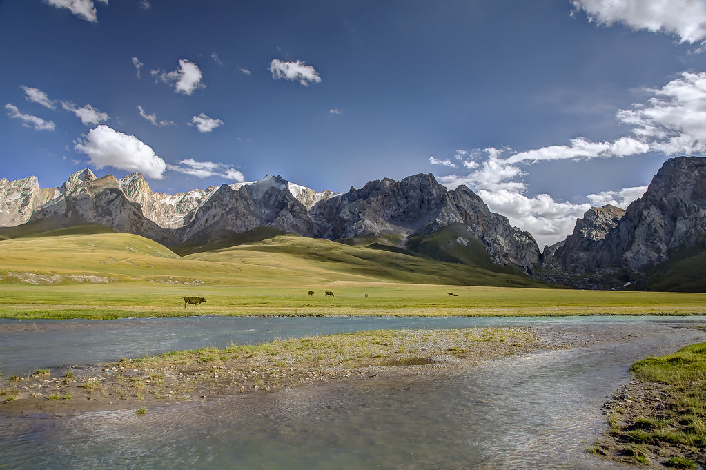
Summer pasture along the Kurumduk River
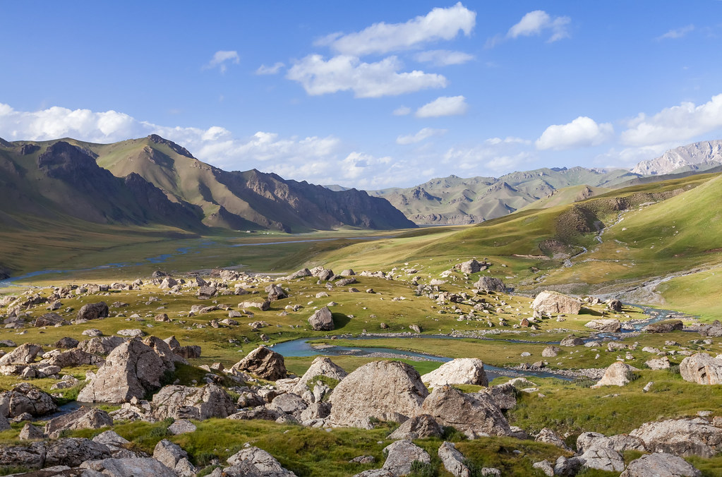
Kurumduk river valley
The olive tree

Potipot Afternoon

Summer pasture at Lake Son Kul

Bayon Temple, Angkor, Cambodia-22

Cachoeira - The Waterfall

201809_4803 Germany, Füssen, Lech Fall

Waterfalls of Jiuzhaigou

Rohtas Fort !!!

201804_1548 Germany, Füssen, Lechfall

Taurus mountain range view

Siete Picos Massif, Sierra de Guadarrama, Madrid, Spain.

ancient cave apartments

Bahia de Puerto Montt - Pelluco (Patagonia Chile)

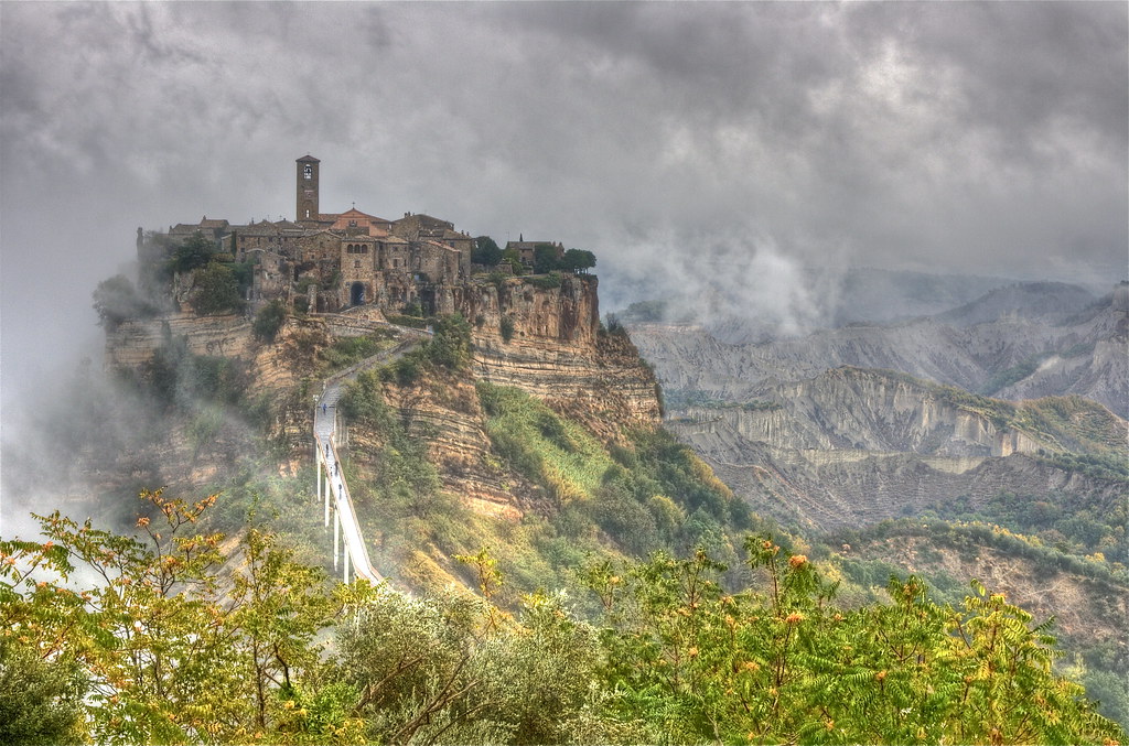
Cività: the town that is dying

Perú.- Machu Picchu - Huayna Picchu

Lonesome Pine_G5A6666

Tipsy view!
Topographic Map of Central Province, Zambia
Find elevation by address:

Places in Central Province, Zambia:
Places near Central Province, Zambia:
Kabwe
Natuseko Primary School
Kabwe
Ngwezi Road
Roma
Lusaka
Chipongwe Road
Mutende Road
Woodlands
Lusaka
Lusaka Province
Recent Searches:
- Elevation of Corso Fratelli Cairoli, 35, Macerata MC, Italy
- Elevation of Tallevast Rd, Sarasota, FL, USA
- Elevation of 4th St E, Sonoma, CA, USA
- Elevation of Black Hollow Rd, Pennsdale, PA, USA
- Elevation of Oakland Ave, Williamsport, PA, USA
- Elevation of Pedrógão Grande, Portugal
- Elevation of Klee Dr, Martinsburg, WV, USA
- Elevation of Via Roma, Pieranica CR, Italy
- Elevation of Tavkvetili Mountain, Georgia
- Elevation of Hartfords Bluff Cir, Mt Pleasant, SC, USA