Elevation of National Park Rd, Loch Sport VIC, Australia
Location: Australia > Victoria > Wellington Shire > Loch Sport >
Longitude: 147.608358
Latitude: -38.032084
Elevation: 7m / 23feet
Barometric Pressure: 101KPa
Elevation Map:
Satellite Map:
Related Photos:
Loch Sport 0517 5559

Loch Sport 0517 5425

Loch Sport 0517 5538

Loch Sport 0517 5541

View from Banksia Balcony

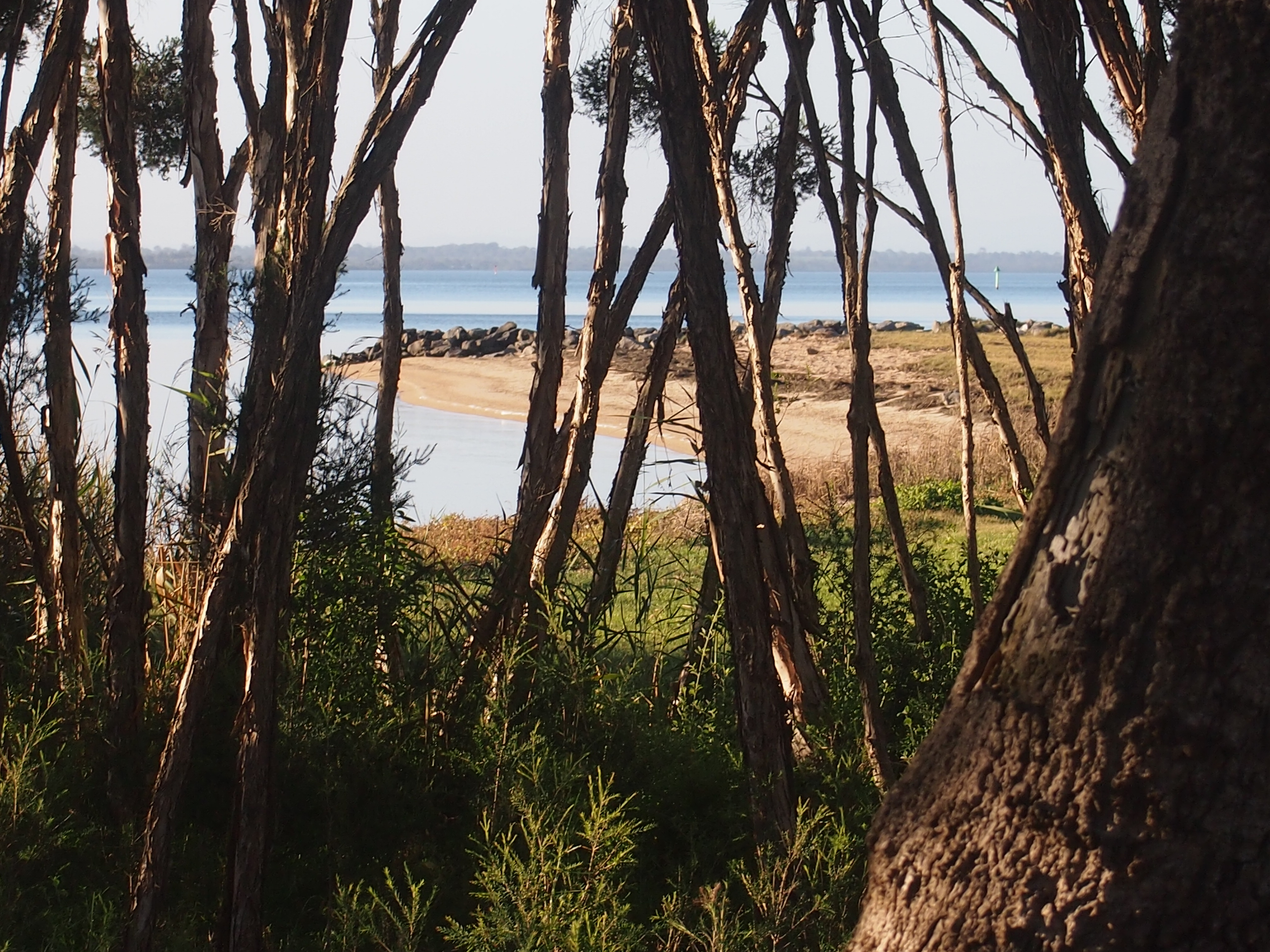
An overcast morning at Loch Sport, Gippsland.

Ninety Mile Beach, Gippsland

Ninety Mile Beach, Gippsland

Loch Sport - 90 Mile Beach

90 Mile beach

Beach Panorama 1

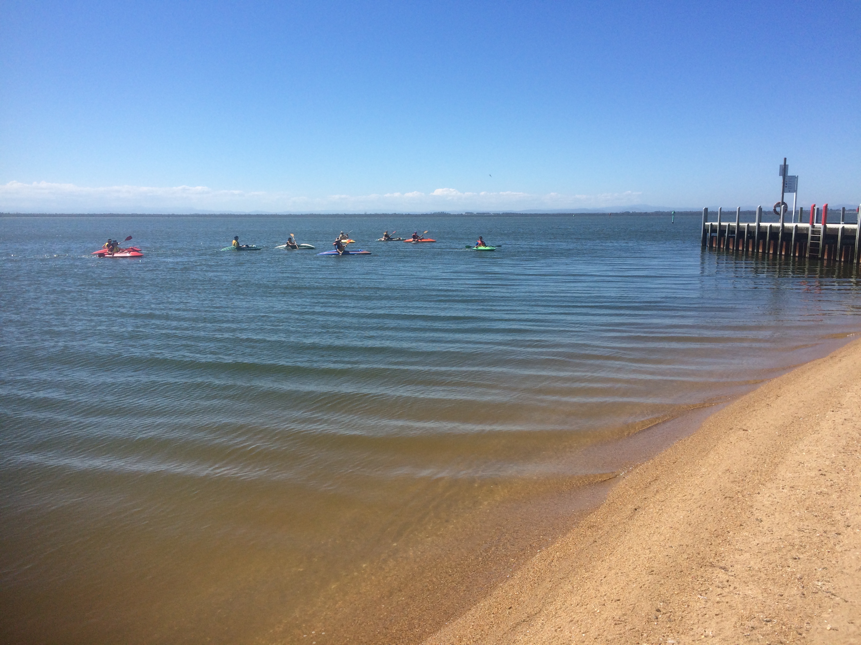
Duckies at the Lakes

Duckies at the Lakes

Breakwater and dilapidated jetty, Raymond Island

Western arm of Lake King, Paynesville, looking east

Point Wilson - Sperm Whale Head Jetty

13 Victoria Parade

Boardwalk on Raymond Island
Duckies at the Lakes

Duckies at the Lakes

Duckies at the Lakes

Western arm of Lake King, Paynesville, looking south

Duckies at the Lakes

Beach Panorama 2

Australia's South Coast
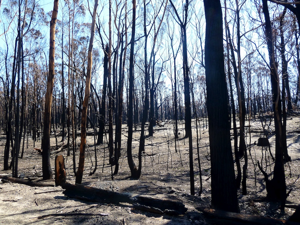
Waldbrand Victoria
Topographic Map of National Park Rd, Loch Sport VIC, Australia
Find elevation by address:

Places near National Park Rd, Loch Sport VIC, Australia:
315 National Park Rd
120 Crawfords Rd
Goon Nure
Loch Sport
Hollands Landing
Hollands Landing Road
Meerlieu
100 Seventh Ave
59 Golden Beach Dr
Golden Beach
Lake Reeve
Garretts Road
Wellington Shire
Seaspray
108 Zacher Rd
1 Krista Ct
Longford
Dundas Street
Sale
175 Boggy Creek Rd
Recent Searches:
- Elevation of Corso Fratelli Cairoli, 35, Macerata MC, Italy
- Elevation of Tallevast Rd, Sarasota, FL, USA
- Elevation of 4th St E, Sonoma, CA, USA
- Elevation of Black Hollow Rd, Pennsdale, PA, USA
- Elevation of Oakland Ave, Williamsport, PA, USA
- Elevation of Pedrógão Grande, Portugal
- Elevation of Klee Dr, Martinsburg, WV, USA
- Elevation of Via Roma, Pieranica CR, Italy
- Elevation of Tavkvetili Mountain, Georgia
- Elevation of Hartfords Bluff Cir, Mt Pleasant, SC, USA