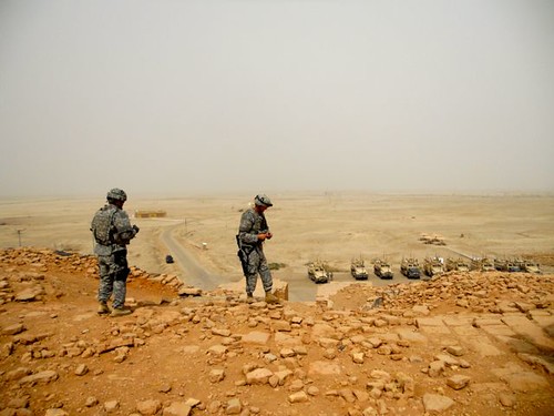
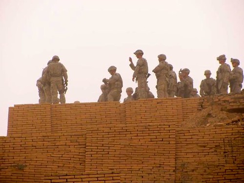
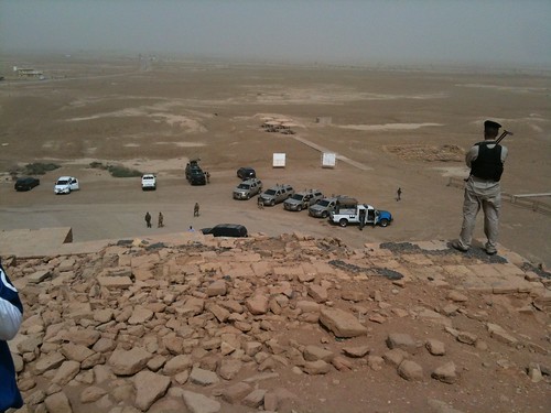
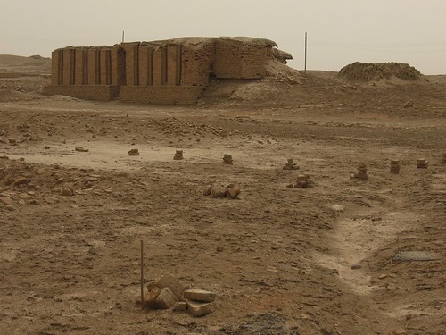
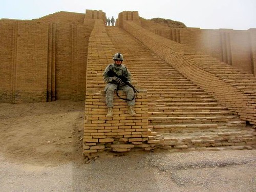
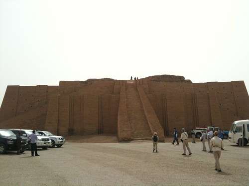
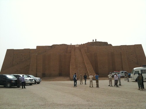
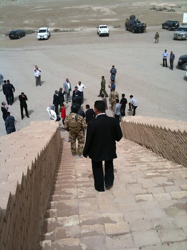
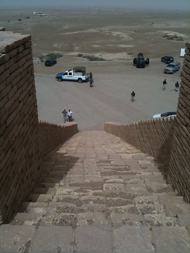
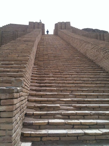
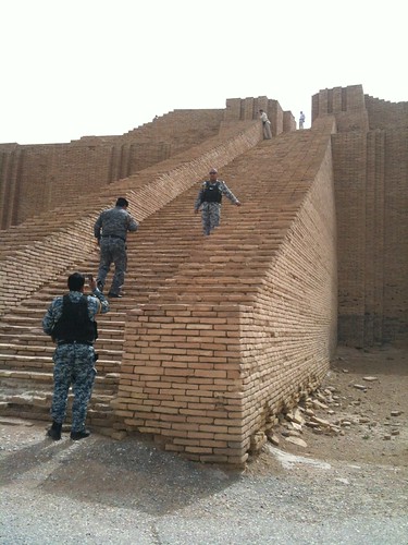
Elevation map of Nassriya, Iraq
Location: Iraq > Dhi Qar Governorate >
Longitude: 46.1326778
Latitude: 30.9330569
Elevation: 4m / 13feet
Barometric Pressure: 101KPa
Related Photos:
Topographic Map of Nassriya, Iraq
Find elevation by address:

Places in Nassriya, Iraq:
Places near Nassriya, Iraq:
Recent Searches:
- Elevation of Corso Fratelli Cairoli, 35, Macerata MC, Italy
- Elevation of Tallevast Rd, Sarasota, FL, USA
- Elevation of 4th St E, Sonoma, CA, USA
- Elevation of Black Hollow Rd, Pennsdale, PA, USA
- Elevation of Oakland Ave, Williamsport, PA, USA
- Elevation of Pedrógão Grande, Portugal
- Elevation of Klee Dr, Martinsburg, WV, USA
- Elevation of Via Roma, Pieranica CR, Italy
- Elevation of Tavkvetili Mountain, Georgia
- Elevation of Hartfords Bluff Cir, Mt Pleasant, SC, USA
