Elevation map of Al-Salman, Iraq
Location: Iraq > Al Muthanna Governorate >
Longitude: 45.2993862
Latitude: 29.9133171
Elevation: 259m / 850feet
Barometric Pressure: 98KPa
Elevation Map:
Satellite Map:
Related Photos:

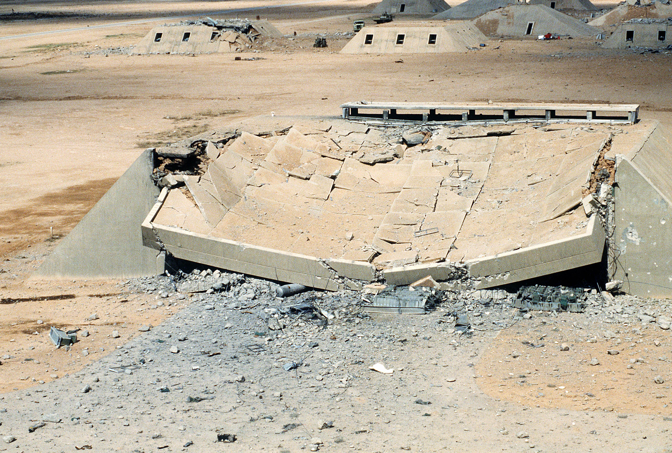
Operation Desert Storm

Operation Desert Storm

Operation Desert Storm

Operation Desert Storm

Operation Desert Storm

Operation Desert Storm

Operation Desert Storm

Operation Desert Storm

Operation Desert Storm
Operation Desert Storm

Persian Wedding

DF-ST-92-09645

DF-ST-92-09646

DF-ST-92-09541

DF-ST-92-09639

DF-ST-92-09647

DF-ST-92-09643

DF-ST-92-09649

Looking toward the hills

20080131adf8243116_187.JPG
Topographic Map of Al-Salman, Iraq
Find elevation by address:

Places in Al-Salman, Iraq:
Places near Al-Salman, Iraq:
Recent Searches:
- Elevation of Corso Fratelli Cairoli, 35, Macerata MC, Italy
- Elevation of Tallevast Rd, Sarasota, FL, USA
- Elevation of 4th St E, Sonoma, CA, USA
- Elevation of Black Hollow Rd, Pennsdale, PA, USA
- Elevation of Oakland Ave, Williamsport, PA, USA
- Elevation of Pedrógão Grande, Portugal
- Elevation of Klee Dr, Martinsburg, WV, USA
- Elevation of Via Roma, Pieranica CR, Italy
- Elevation of Tavkvetili Mountain, Georgia
- Elevation of Hartfords Bluff Cir, Mt Pleasant, SC, USA