Elevation map of Naryn District, Kyrgyzstan
Location: Kyrgyzstan > Naryn Region >
Longitude: 75.8998674
Latitude: 41.5224188
Elevation: 2157m / 7077feet
Barometric Pressure: 78KPa
Elevation Map:
Satellite Map:
Related Photos:

The Hotel Ata-Too in Naryn

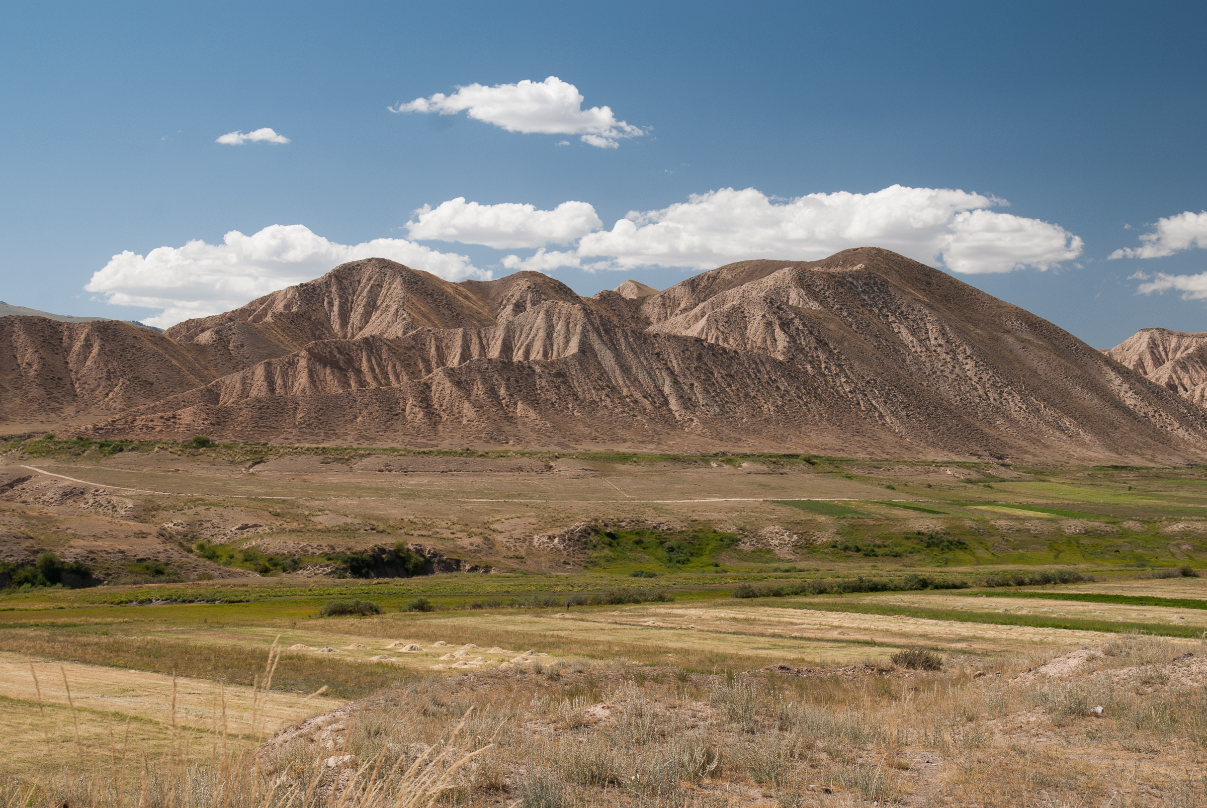
Views over Naryn

Views over Naryn

Views over Naryn

Views over Naryn

Views over Naryn
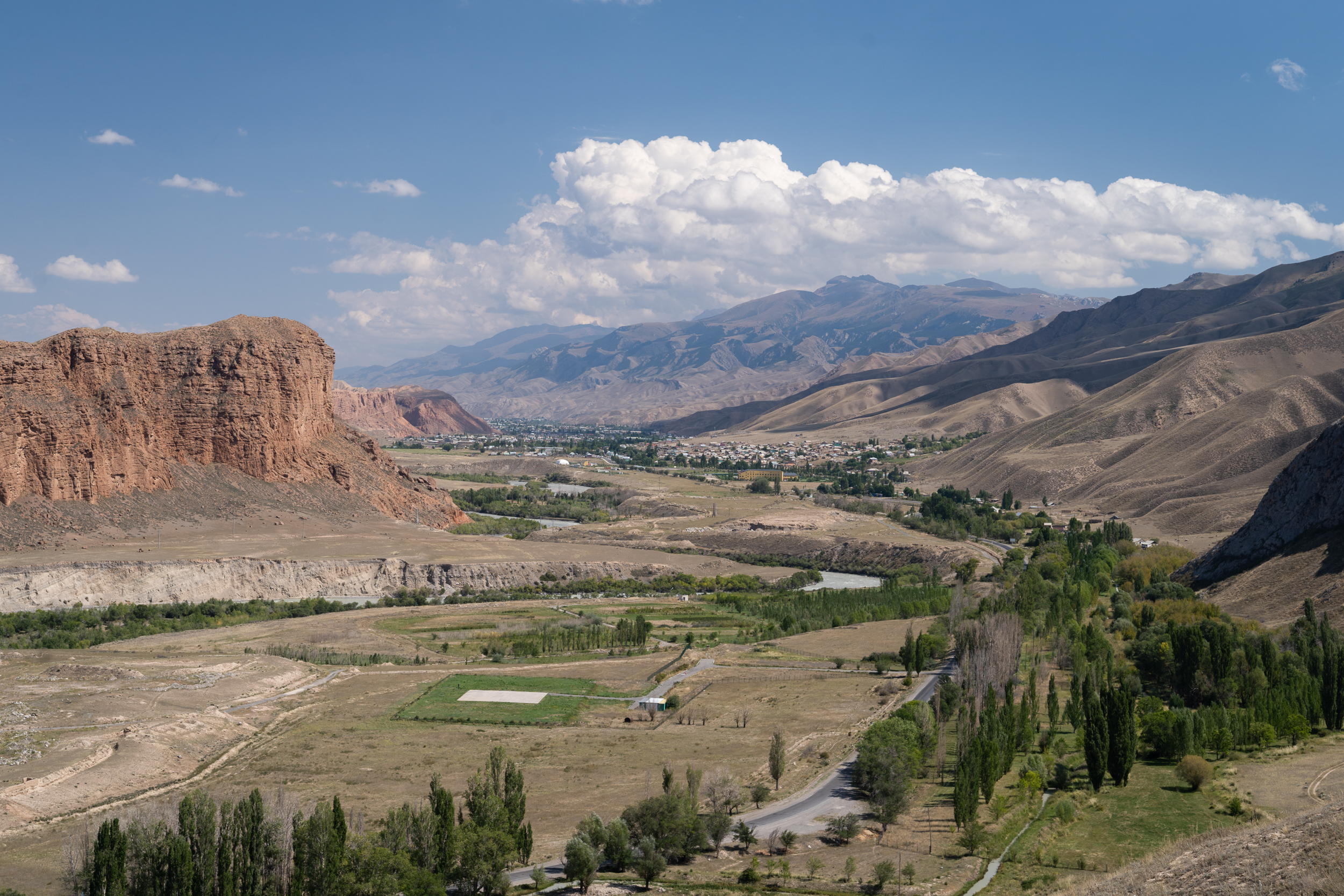
Views over Naryn

Views over Naryn

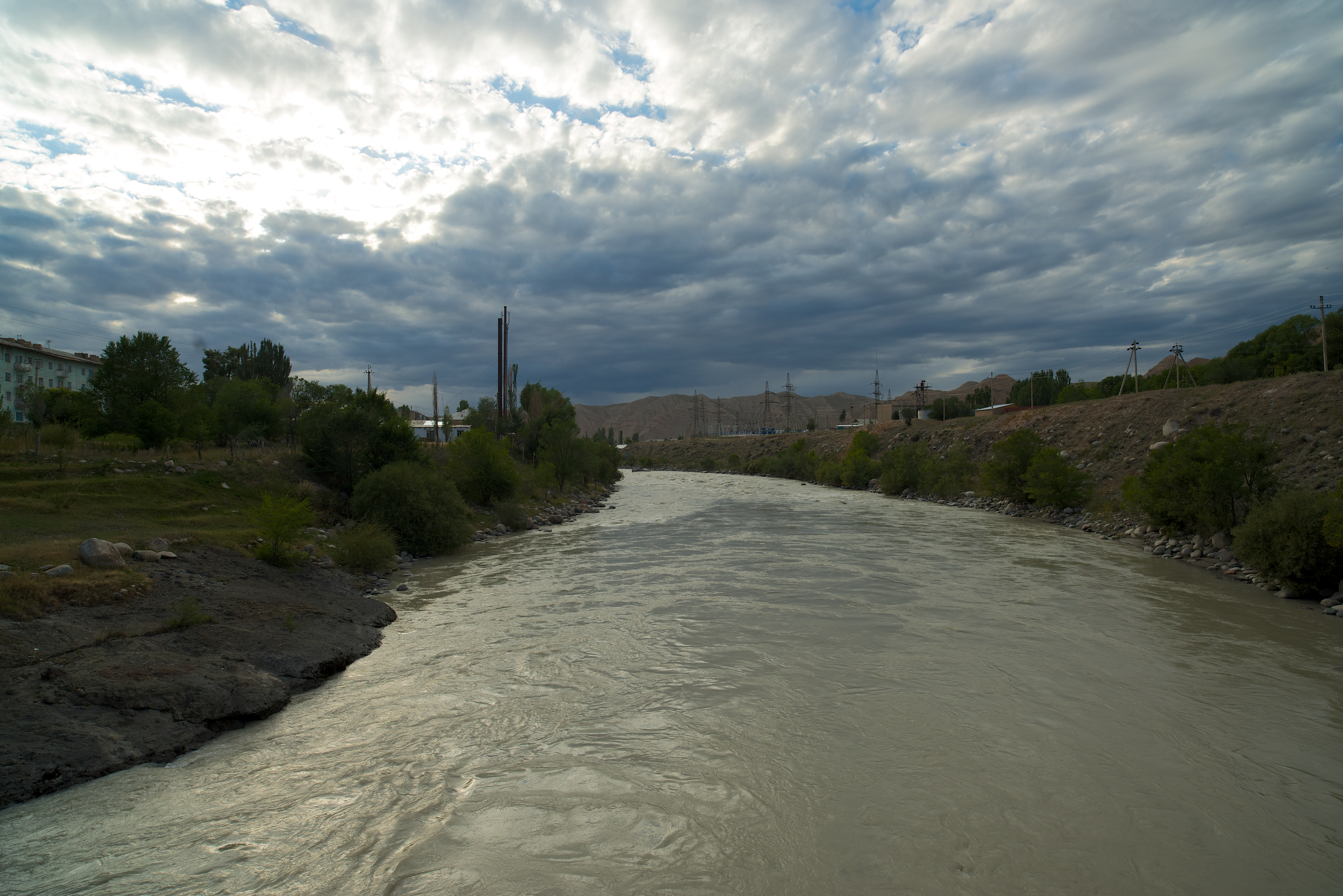
The Naryn River and mountains in Naryn, northern Tien Shan (Kyrgiz) / キルギス共和国中部,ナリン高地
Gate to Naryn
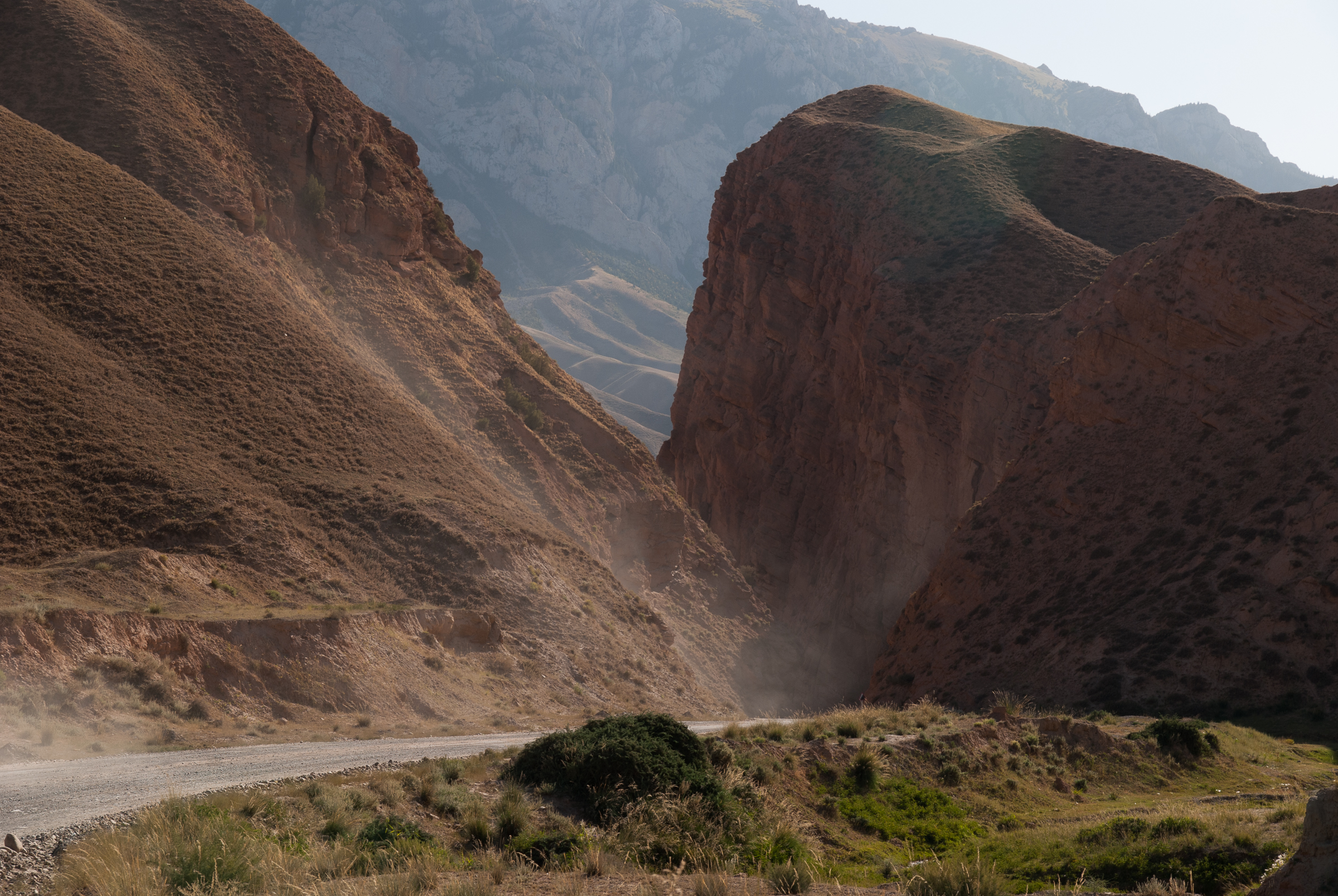
Road to Naryn .2
Naryn (1 of 11)

Naryn (11 of 11)
Topographic Map of Naryn District, Kyrgyzstan
Find elevation by address:

Places in Naryn District, Kyrgyzstan:
Places near Naryn District, Kyrgyzstan:
Naryn Region
Kochkor District
Song-kul
Tash-rabat
Tash-rabat
Tash Rabat Caravanserai
Kyzart
Pereval Tjilbel
Kyrgyzstan
Chaek
Recent Searches:
- Elevation of Corso Fratelli Cairoli, 35, Macerata MC, Italy
- Elevation of Tallevast Rd, Sarasota, FL, USA
- Elevation of 4th St E, Sonoma, CA, USA
- Elevation of Black Hollow Rd, Pennsdale, PA, USA
- Elevation of Oakland Ave, Williamsport, PA, USA
- Elevation of Pedrógão Grande, Portugal
- Elevation of Klee Dr, Martinsburg, WV, USA
- Elevation of Via Roma, Pieranica CR, Italy
- Elevation of Tavkvetili Mountain, Georgia
- Elevation of Hartfords Bluff Cir, Mt Pleasant, SC, USA