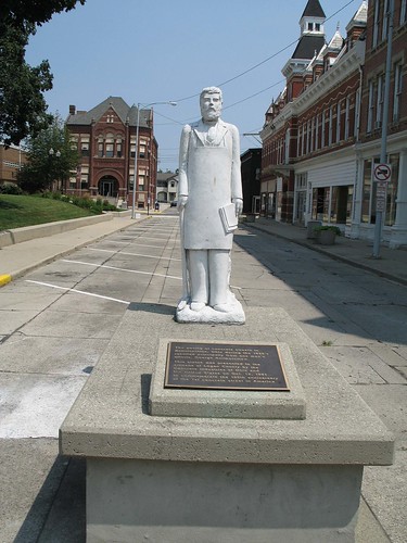
Elevation of Napoleon St, Huntsville, OH, USA
Location: United States > Ohio > Logan County >
Longitude: -83.805151
Latitude: 40.443315
Elevation: 328m / 1076feet
Barometric Pressure: 97KPa
Related Photos:
Topographic Map of Napoleon St, Huntsville, OH, USA
Find elevation by address:

Places near Napoleon St, Huntsville, OH, USA:
Huntsville
Richland Township
Logan County
C-, Belle Center, OH, USA
9012 Hickory Ln
Governors Island
Lewistown
Belle Center
Lake Township
Auditorium St, Lakeview, OH, USA
1312 Turner Rd
Bellefontaine
S Main St, Bellefontaine, OH, USA
1143 Township Rd 198
817 S Detroit St
817 S Detroit St
104 Ashbrook Dr
E Lake Ave, Bellefontaine, OH, USA
1215 Greenwood St
1316 Reservoir Rd
Recent Searches:
- Elevation of Corso Fratelli Cairoli, 35, Macerata MC, Italy
- Elevation of Tallevast Rd, Sarasota, FL, USA
- Elevation of 4th St E, Sonoma, CA, USA
- Elevation of Black Hollow Rd, Pennsdale, PA, USA
- Elevation of Oakland Ave, Williamsport, PA, USA
- Elevation of Pedrógão Grande, Portugal
- Elevation of Klee Dr, Martinsburg, WV, USA
- Elevation of Via Roma, Pieranica CR, Italy
- Elevation of Tavkvetili Mountain, Georgia
- Elevation of Hartfords Bluff Cir, Mt Pleasant, SC, USA
