Elevation of Logan County, OH, USA
Location: United States > Ohio >
Longitude: -83.847301
Latitude: 40.3899679
Elevation: 327m / 1073feet
Barometric Pressure: 97KPa
Elevation Map:
Satellite Map:
Related Photos:
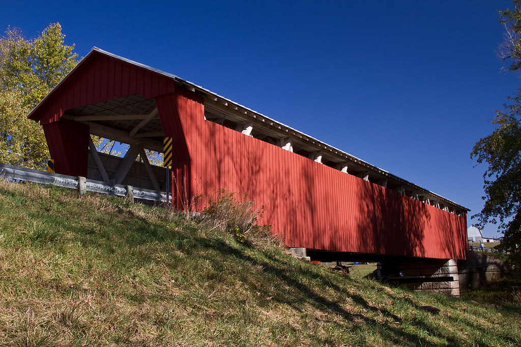
McColley Covered Bridge - Ohio

Belfountaine Sunset

View to City Hall.

Oldest Concrete Street in America 1-46
August 24, 2013 (Instagram) (Cell Phone)
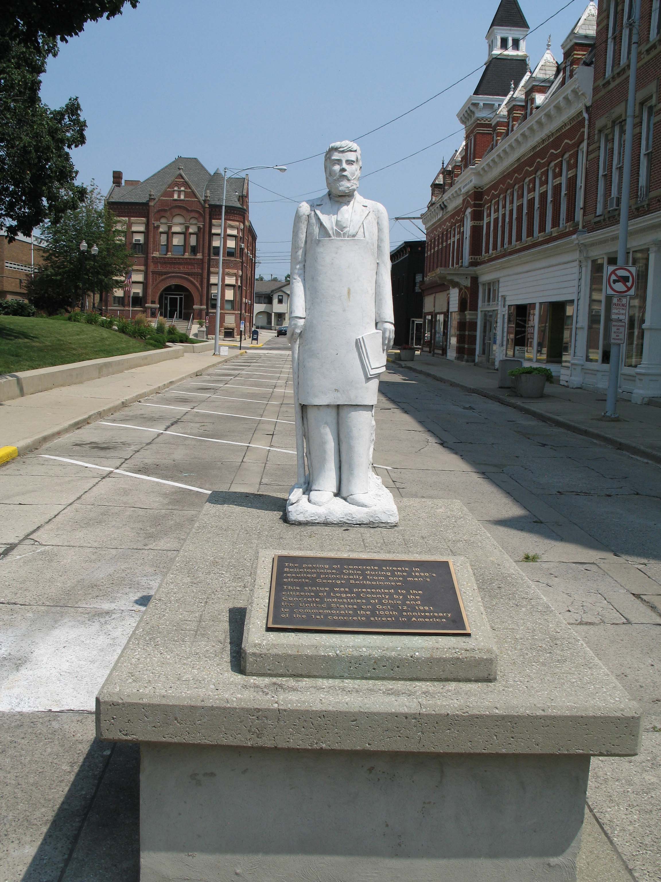
George Bartholomew, 1st concrete street paver, courthouse square, Bellefontaine, Ohio

Earl S. Sloan 2-46

Earl S. Sloan 2-46
Front Outdoor View
Red Roof Cottage View

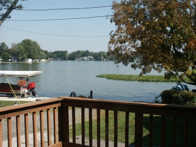
view of the Lilly pads
a view

Mad River Waterfall 28 20081018

Mad River Waterfall 1 20081018

Mad River Waterfall 27 20081018

Mad River Waterfall 23 20081018

Mad River Waterfall 29 20081018
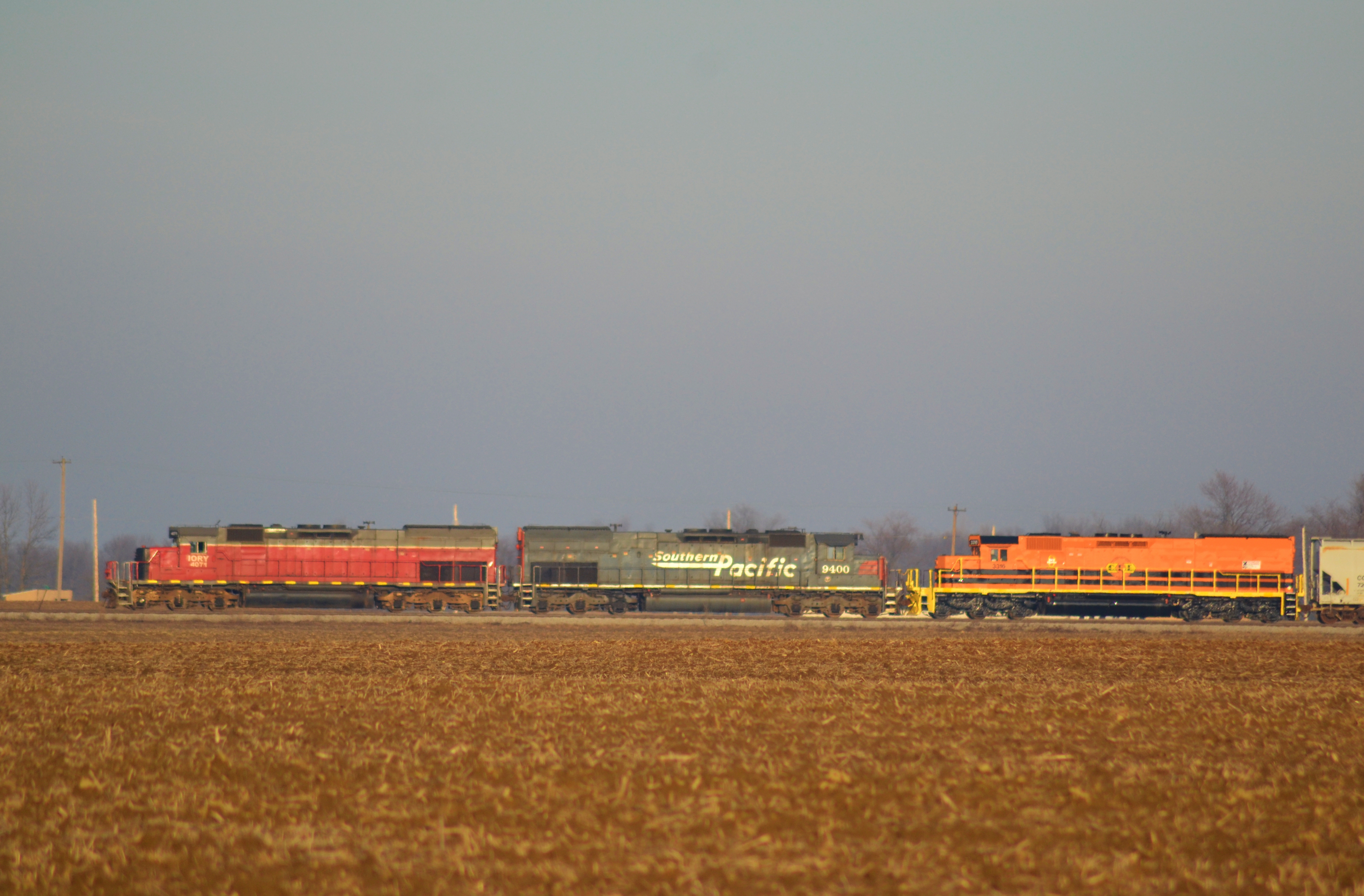
Tunnel motors and corn stubble

DSC01050.jpg
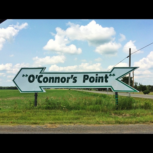
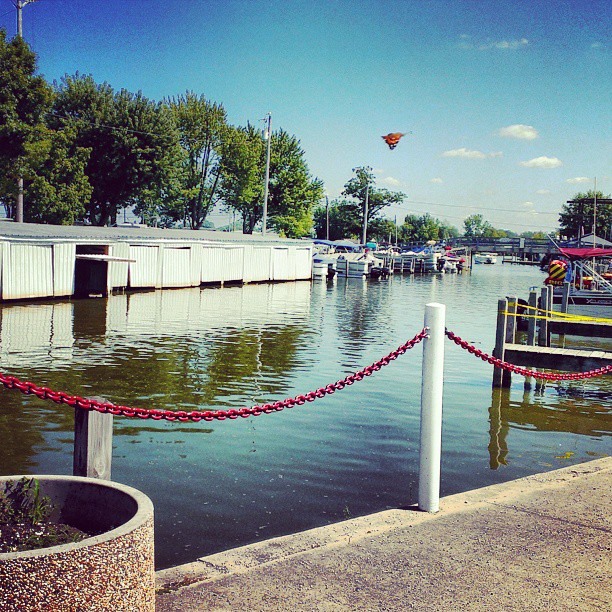
O'Connor's Point #rexmanningweek

DSC01048.jpg

Last nights sunset. Already missing the family. #rexmanningweek

Happy accident
Topographic Map of Logan County, OH, USA
Find elevation by address:

Places in Logan County, OH, USA:
Lake Township
Miami Township
Jefferson Township
Monroe Township
Liberty Township
Perry Township
Huntsville
Richland Township
Napoleon St, Huntsville, OH, USA
E Lake St, Lakeview, OH, USA
Co Rd 2, West Mansfield, OH, USA
C-, Belle Center, OH, USA
Auditorium St, Lakeview, OH, USA
Lakeview
Lewistown
Zane Township
Rushcreek Township
Places near Logan County, OH, USA:
Lewistown
1143 Township Rd 198
Bellefontaine
S Main St, Bellefontaine, OH, USA
817 S Detroit St
817 S Detroit St
Lake Township
E Lake Ave, Bellefontaine, OH, USA
1215 Greenwood St
1312 Turner Rd
N Koke St, De Graff, OH, USA
De Graff
Moore Street
224 W Miami St
224 W Miami St
224 W Miami St
104 Ashbrook Dr
1316 Reservoir Rd
Liberty Township
Campbell Hill
Recent Searches:
- Elevation of Corso Fratelli Cairoli, 35, Macerata MC, Italy
- Elevation of Tallevast Rd, Sarasota, FL, USA
- Elevation of 4th St E, Sonoma, CA, USA
- Elevation of Black Hollow Rd, Pennsdale, PA, USA
- Elevation of Oakland Ave, Williamsport, PA, USA
- Elevation of Pedrógão Grande, Portugal
- Elevation of Klee Dr, Martinsburg, WV, USA
- Elevation of Via Roma, Pieranica CR, Italy
- Elevation of Tavkvetili Mountain, Georgia
- Elevation of Hartfords Bluff Cir, Mt Pleasant, SC, USA