Elevation of Nandyal, Andhra Pradesh, India
Location: India > Andhra Pradesh > Kurnool >
Longitude: 78.4830934
Latitude: 15.4785694
Elevation: 212m / 696feet
Barometric Pressure: 99KPa
Elevation Map:
Satellite Map:
Related Photos:

Great Outdoor of Mahanandi

Mahanandi temple caught on iphone
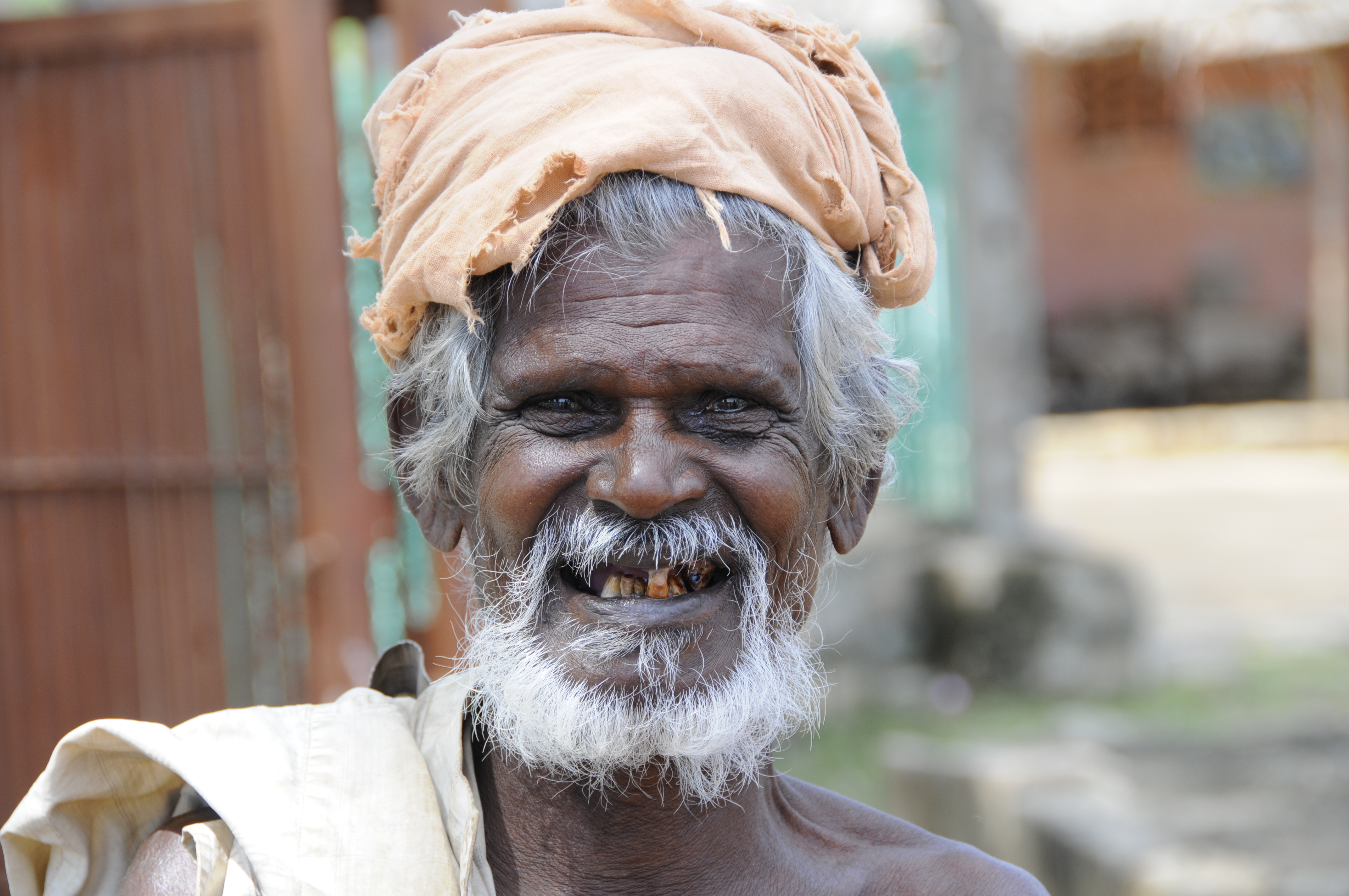
Volto / Face

Photo 0027
Topographic Map of Nandyal, Andhra Pradesh, India
Find elevation by address:

Places near Nandyal, Andhra Pradesh, India:
Sugali Mitta
Bheemavaram
N. Kothapalli
Pulimaddi
Munagala Mp School Nandyal Mandal
Munagala
Rcm , Polur Church
Balapanur
Kowluru
Csi Church Kondajutur
Konda Juturu
Gorakallu
Panyam
Konidedu
Allagadda
Kandikaya Palle
Pinnapuram
Kandikayapalle Limestone Quarry
Thammarajupalli
Vanala
Recent Searches:
- Elevation of Corso Fratelli Cairoli, 35, Macerata MC, Italy
- Elevation of Tallevast Rd, Sarasota, FL, USA
- Elevation of 4th St E, Sonoma, CA, USA
- Elevation of Black Hollow Rd, Pennsdale, PA, USA
- Elevation of Oakland Ave, Williamsport, PA, USA
- Elevation of Pedrógão Grande, Portugal
- Elevation of Klee Dr, Martinsburg, WV, USA
- Elevation of Via Roma, Pieranica CR, Italy
- Elevation of Tavkvetili Mountain, Georgia
- Elevation of Hartfords Bluff Cir, Mt Pleasant, SC, USA