Elevation of Allagadda, Andhra Pradesh, India
Location: India > Andhra Pradesh > Kurnool >
Longitude: 78.4119492
Latitude: 15.6916334
Elevation: 253m / 830feet
Barometric Pressure: 98KPa
Elevation Map:
Satellite Map:
Related Photos:

Lake Behind Orvakal Rock Garden

@ Orvakal Rock Garden, Karnool

Woman@Work
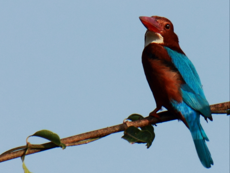
white throated kingfisher
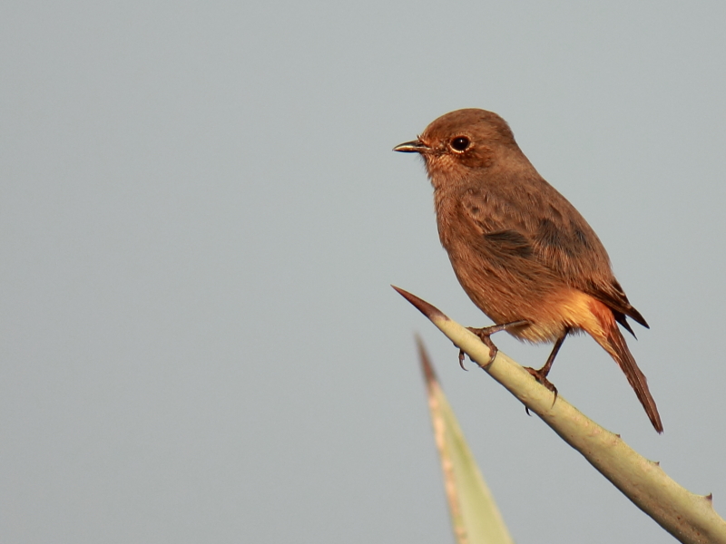
Pied Bush Chat (Female)

Eurasian collared dove

eurasian collared dove

gray francolin

Laughing Dove

Siberian Stonechat
Topographic Map of Allagadda, Andhra Pradesh, India
Find elevation by address:

Places near Allagadda, Andhra Pradesh, India:
Vanala
Parumanchala
Gorakallu
P.lingapuram
Mittakandala
Chintala Palle
Midthur Road
Konda Juturu
Csi Church Kondajutur
Tarigopula
Rcm , Polur Church
Munagala
Munagala Mp School Nandyal Mandal
Pulimaddi
Pamulapadu
Sekunala
Jupadu Bangla
Thummalur
Pinnapuram
Zph School Sakunala
Recent Searches:
- Elevation of Corso Fratelli Cairoli, 35, Macerata MC, Italy
- Elevation of Tallevast Rd, Sarasota, FL, USA
- Elevation of 4th St E, Sonoma, CA, USA
- Elevation of Black Hollow Rd, Pennsdale, PA, USA
- Elevation of Oakland Ave, Williamsport, PA, USA
- Elevation of Pedrógão Grande, Portugal
- Elevation of Klee Dr, Martinsburg, WV, USA
- Elevation of Via Roma, Pieranica CR, Italy
- Elevation of Tavkvetili Mountain, Georgia
- Elevation of Hartfords Bluff Cir, Mt Pleasant, SC, USA