Elevation of Tarigopula, Andhra Pradesh, India
Location: India > Andhra Pradesh > Kurnool >
Longitude: 78.416925
Latitude: 15.8384858
Elevation: 284m / 932feet
Barometric Pressure: 98KPa
Elevation Map:
Satellite Map:
Related Photos:
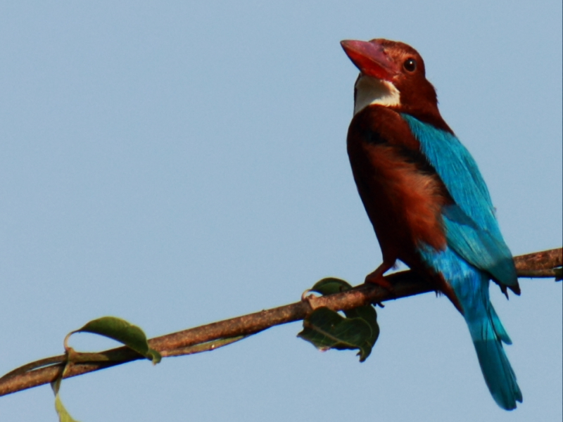
white throated kingfisher
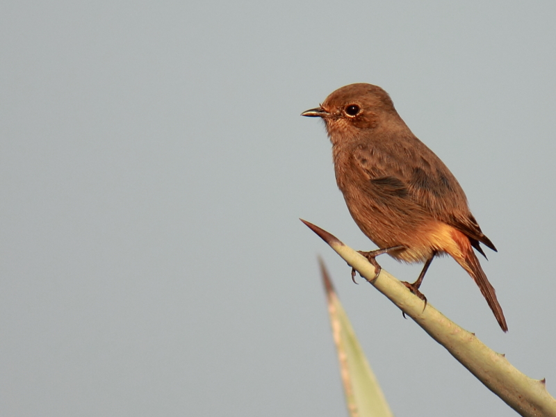
Pied Bush Chat (Female)

Eurasian collared dove

eurasian collared dove

gray francolin

Laughing Dove

Siberian Stonechat
Topographic Map of Tarigopula, Andhra Pradesh, India
Find elevation by address:

Places near Tarigopula, Andhra Pradesh, India:
P.lingapuram
Thummalur
Pothulapadu
Pamulapadu
Kokkerancha
Erragudur
Edurupadu
Iskala
Bhanumukkala
Erramatam
Musalimadugu
Karivena
Nallakaluva Narasimha Swamy Temple
Nandikunta
Atmakur
Kurukunda
Indireswaram
Kottala Cheruvu
Siddapuram
Krishnapuram
Recent Searches:
- Elevation of Corso Fratelli Cairoli, 35, Macerata MC, Italy
- Elevation of Tallevast Rd, Sarasota, FL, USA
- Elevation of 4th St E, Sonoma, CA, USA
- Elevation of Black Hollow Rd, Pennsdale, PA, USA
- Elevation of Oakland Ave, Williamsport, PA, USA
- Elevation of Pedrógão Grande, Portugal
- Elevation of Klee Dr, Martinsburg, WV, USA
- Elevation of Via Roma, Pieranica CR, Italy
- Elevation of Tavkvetili Mountain, Georgia
- Elevation of Hartfords Bluff Cir, Mt Pleasant, SC, USA