Elevation of Namborn, Germany
Location: Germany > Saarland > Sankt Wendel >
Longitude: 7.138762
Latitude: 49.5223435
Elevation: 344m / 1129feet
Barometric Pressure: 97KPa
Elevation Map:
Satellite Map:
Related Photos:
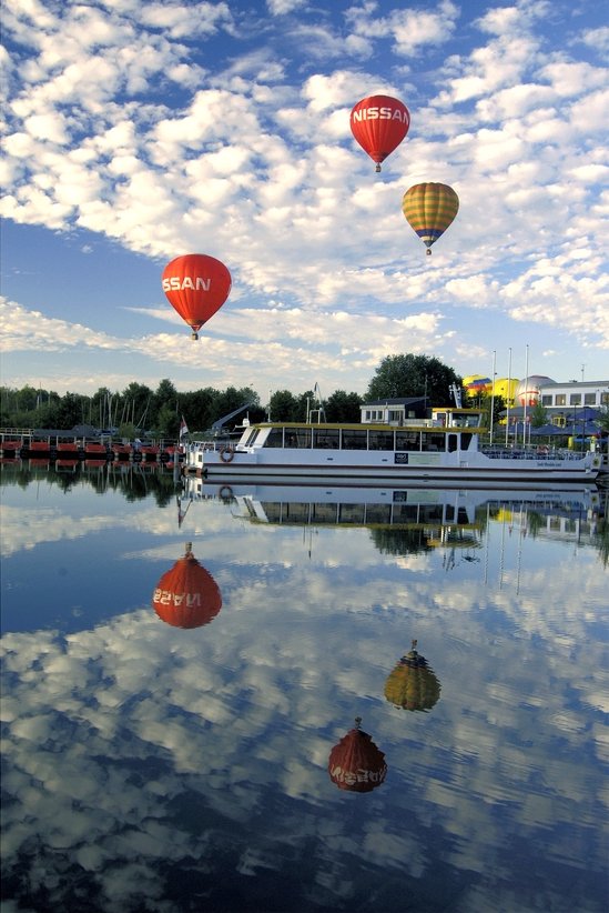
Am Bostalsee

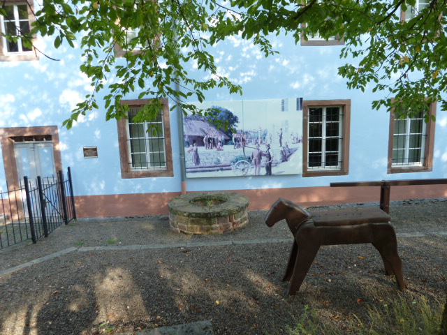
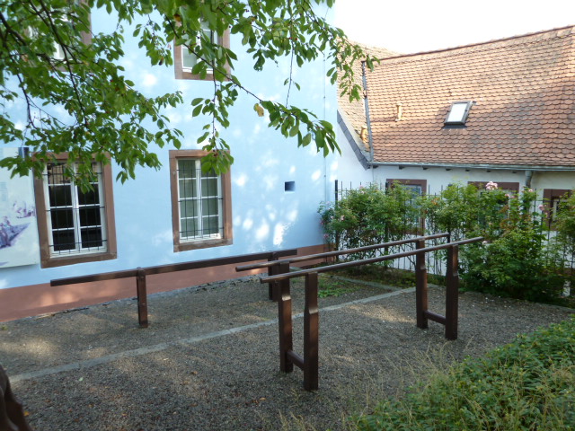
Nachtwächter
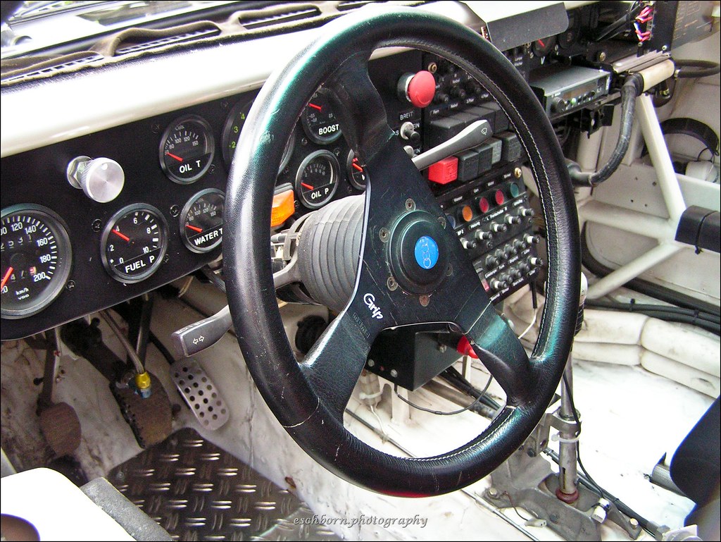
Audi Quattro S1 E2 Cockpit View

Snow. Lots of. In March.

Ottweiler / Saarland

Ottweiler / Saarland
Ottweiler / Saarland
Ottweiler / Saarland
Ottweiler / Saarland
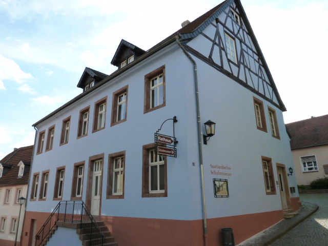
Ottweiler / Saarland
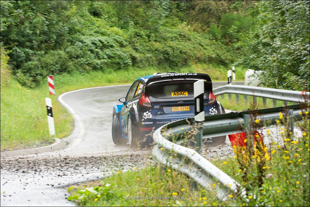
Ford Fiesta RS WRC - Ostberg/Floene - WP11 Freisen-Westrich - Rallye Deutschland 2016
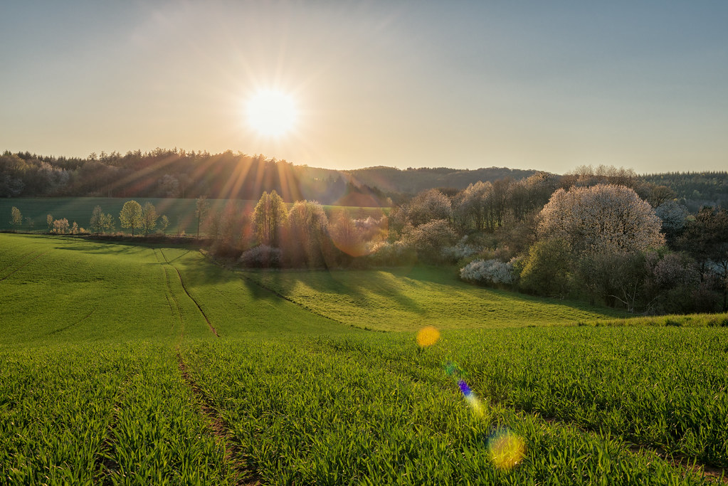
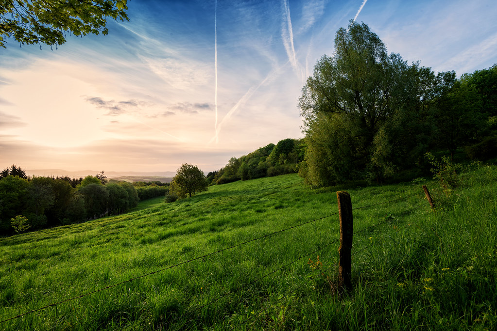
Spring is here - part III
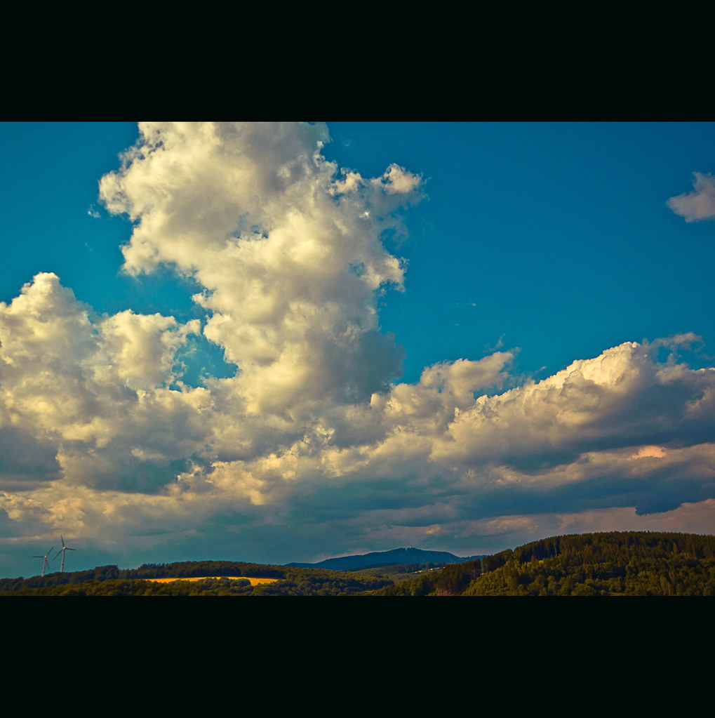
I love the clouds (No HDR)
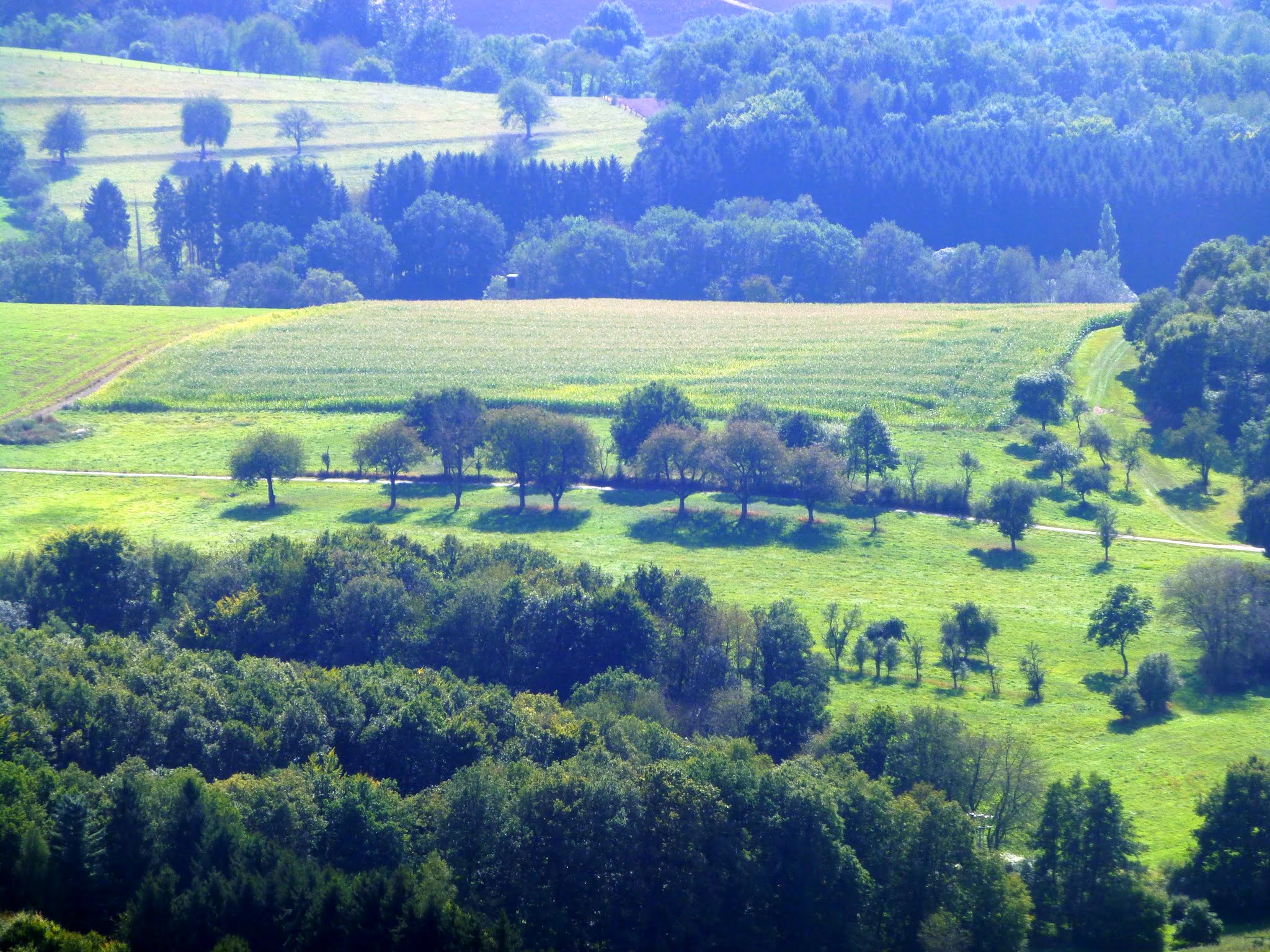
Schaumberg Tafeltour 4

Saarland von oben
landscape (...i love the clouds)
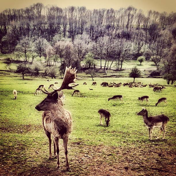
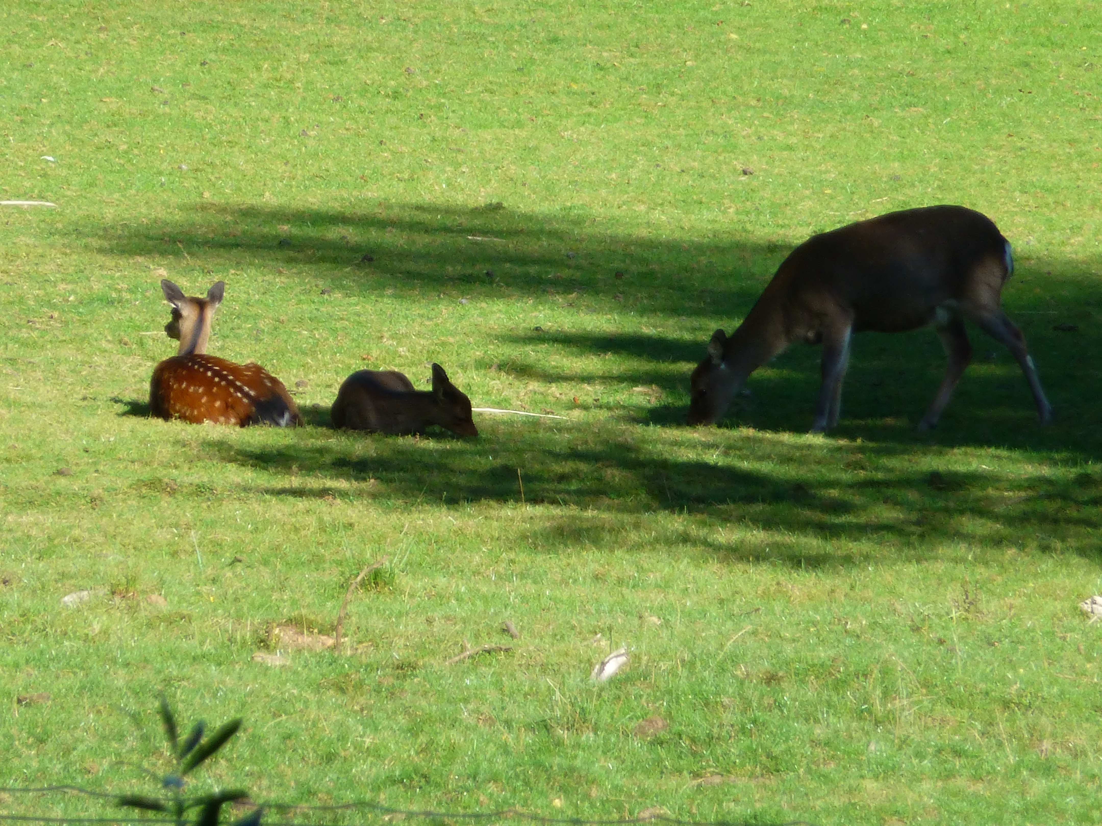
#Animals #animal #instagain #deutschland #gang_family #tweegram #instamood #instagood #instahub #iphonesia #iphoneonly #instagold #iphonography #igersoslo #bestoftheday #photooftheday #insta_sleep #insta_topdog #instagrammers #instagram_masters #iphoneog
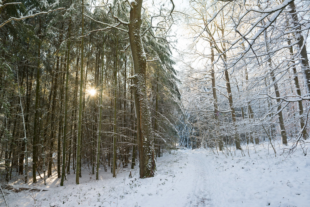
Winter forest

SAARLAND #211: Blick zur Göttelborner Höhe (HDR)

Snowy landscape
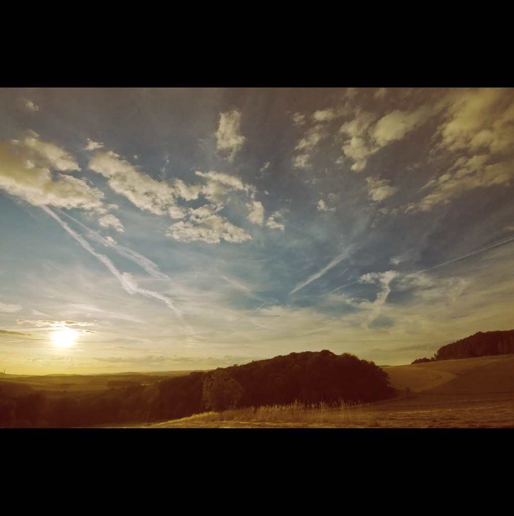
SAARLAND #109: Sommerwind

SAARLAND #6: Golfpark St. Wendel
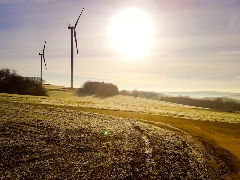
2/365 good morning

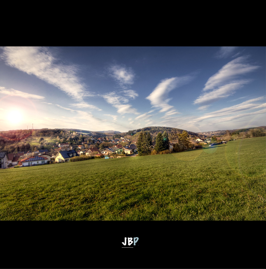
SAARLAND #205: Abendland (HDR)

SAARLAND #107: Idylle pur in Urexweiler (No HDR)
49-P1020592

landscape. (Summer of 69)
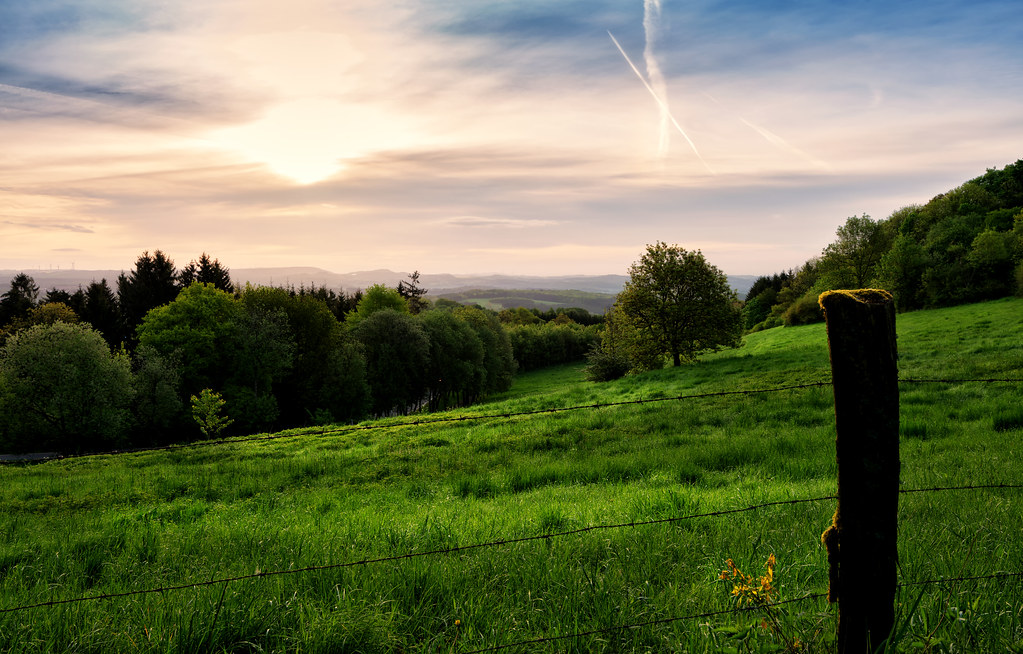
SAARLAND #184: Spaziergang nach Feierabend (HDR)
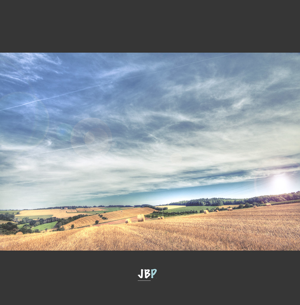
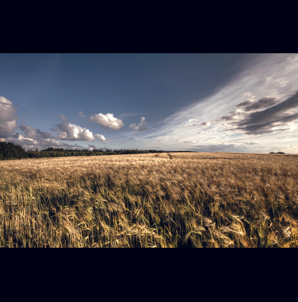
SAARLAND #212: Summer field II (HDR)

SAARLAND #108: Idylle pur in Urexweiler
Schaumberg Tafeltour 3
51-P1020464
Topographic Map of Namborn, Germany
Find elevation by address:

Places in Namborn, Germany:
Places near Namborn, Germany:
Eisweiler
Liebenburgstraße 21, Namborn, Germany
Winkenbacher Hof 1, Sankt Wendel, Germany
Sankt Wendel
Sankt Wendel
Tholey
Freisen
Neumeyerstraße 24, St. Wendel, Germany
2a
Stockgarten 1, Freisen, Germany
Haupersweiler
Herchweiler
Kuseler Str. 27, Herchweiler, Germany
Fürther Str. 33, Breitenbach, Germany
Breitenbach
Pfeffelbach
St.-Wendeler-Straße 1, Pfeffelbach, Germany
Langenbach
Wiesenstraße 34, Langenbach, Germany
Herschweiler-pettersheim
Recent Searches:
- Elevation of Corso Fratelli Cairoli, 35, Macerata MC, Italy
- Elevation of Tallevast Rd, Sarasota, FL, USA
- Elevation of 4th St E, Sonoma, CA, USA
- Elevation of Black Hollow Rd, Pennsdale, PA, USA
- Elevation of Oakland Ave, Williamsport, PA, USA
- Elevation of Pedrógão Grande, Portugal
- Elevation of Klee Dr, Martinsburg, WV, USA
- Elevation of Via Roma, Pieranica CR, Italy
- Elevation of Tavkvetili Mountain, Georgia
- Elevation of Hartfords Bluff Cir, Mt Pleasant, SC, USA