Elevation of Herchweiler, Germany
Location: Germany > Rhineland-palatinate >
Longitude: 7.2926574
Latitude: 49.5144304
Elevation: 346m / 1135feet
Barometric Pressure: 97KPa
Elevation Map:
Satellite Map:
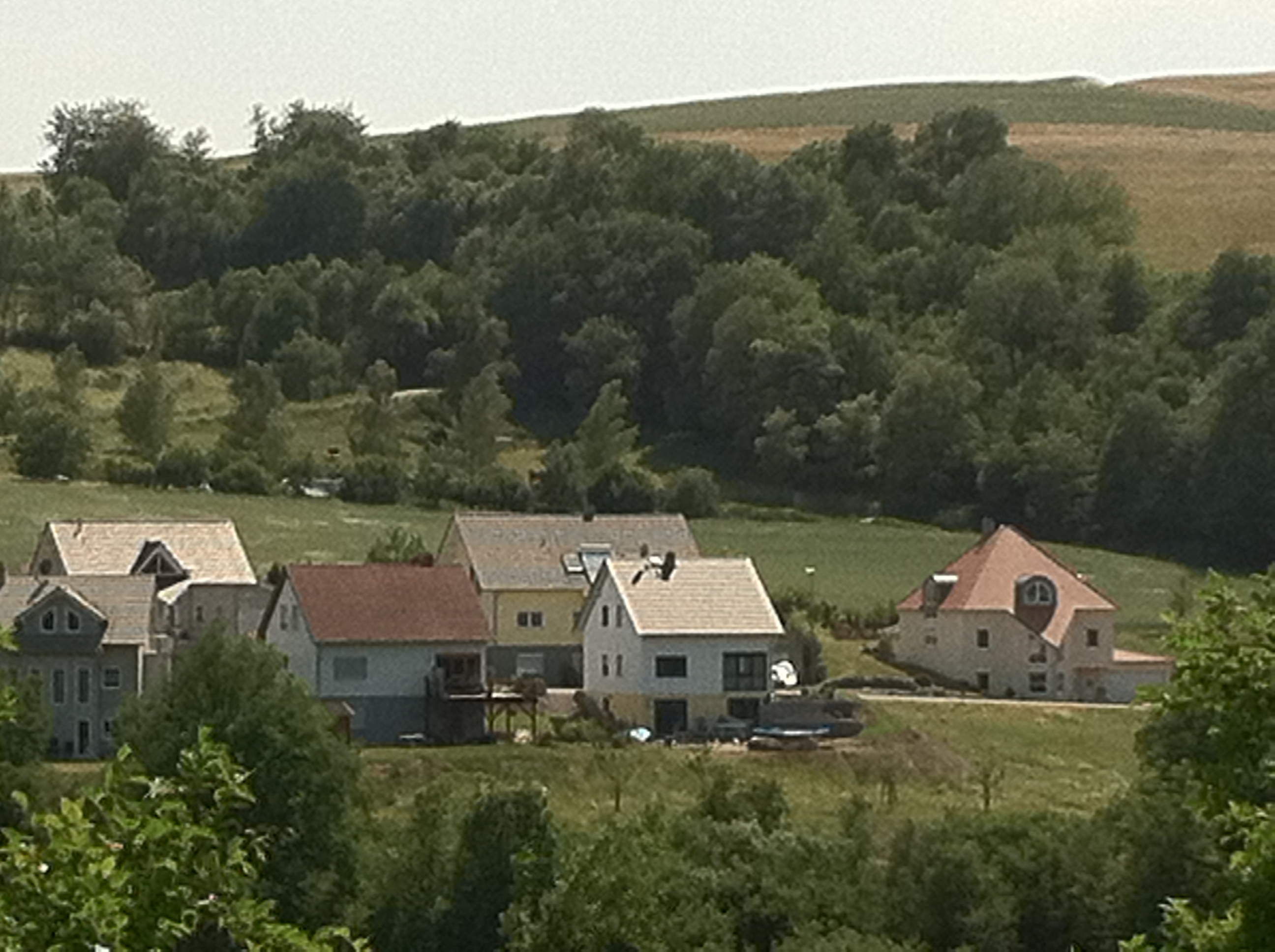
Related Photos:

Nachtwächter

Ottweiler / Saarland

Ottweiler / Saarland
Ottweiler / Saarland
Ottweiler / Saarland
Ottweiler / Saarland
Ottweiler / Saarland

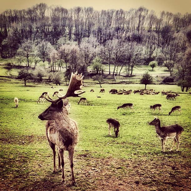
Wildpark-Falknerei-Potzberg
154/365
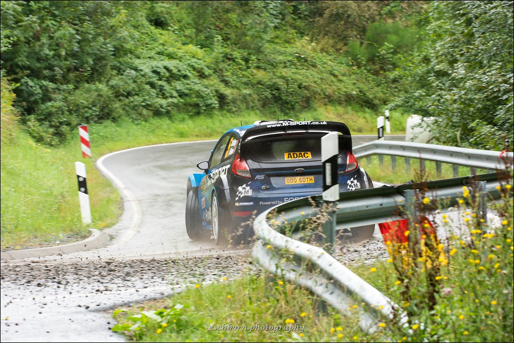
Ford Fiesta RS WRC - Ostberg/Floene - WP11 Freisen-Westrich - Rallye Deutschland 2016
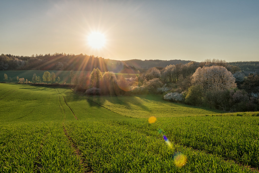
Spring is here - part III
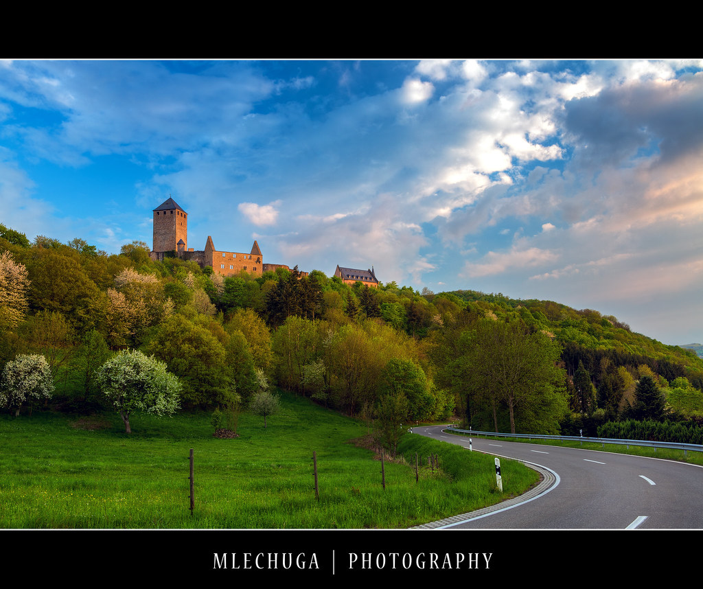
Thallichtenberg - Burg Lichtenberg

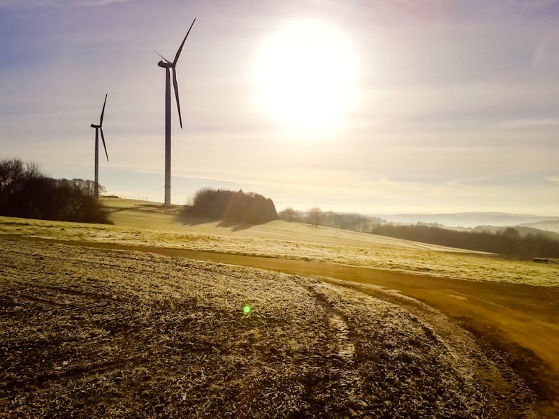
Saarland von oben
#Animals #animal #instagain #deutschland #gang_family #tweegram #instamood #instagood #instahub #iphonesia #iphoneonly #instagold #iphonography #igersoslo #bestoftheday #photooftheday #insta_sleep #insta_topdog #instagrammers #instagram_masters #iphoneog
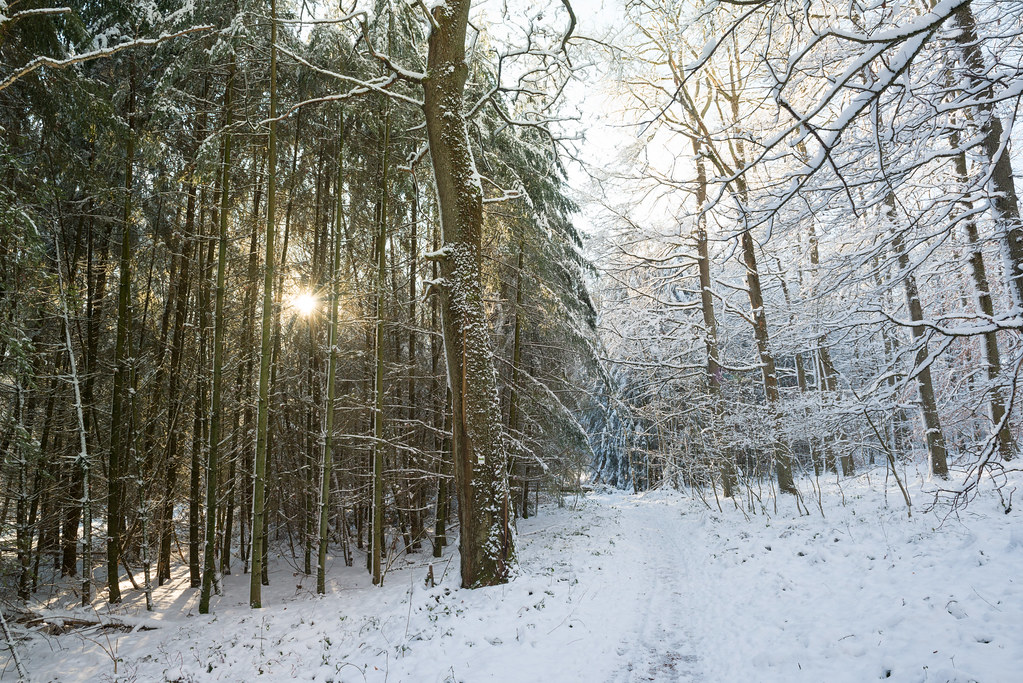
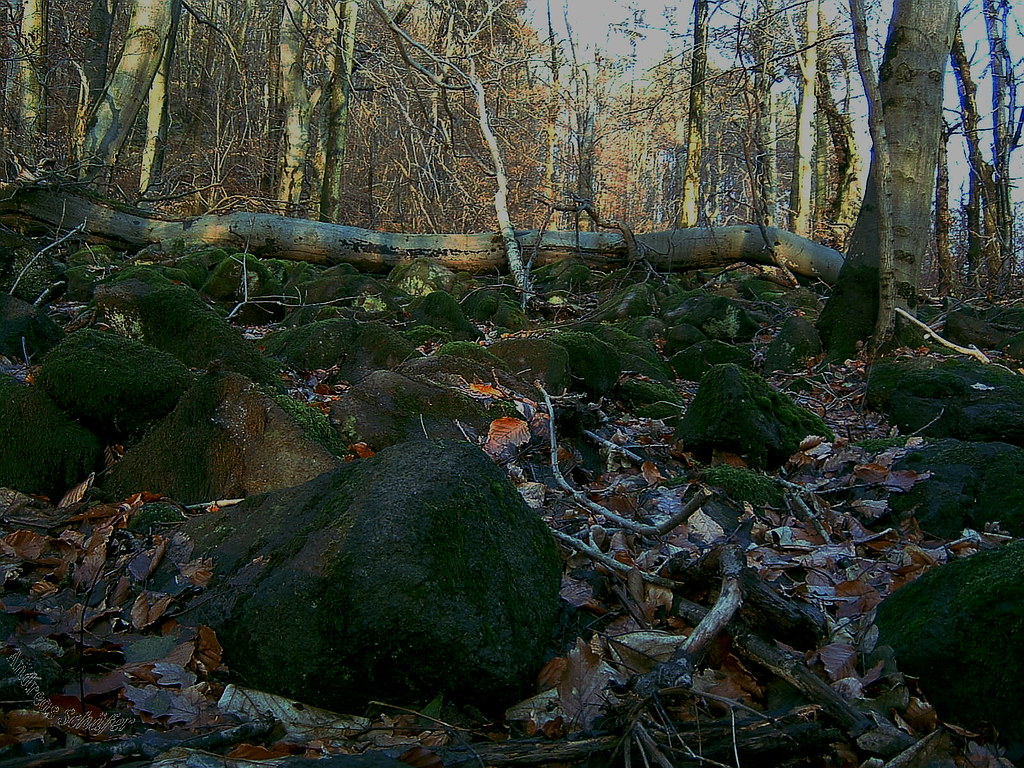
Winter forest

Thallichtenberg - Burg Lichtenberg

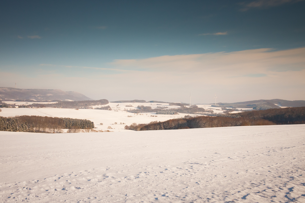
Snowy landscape
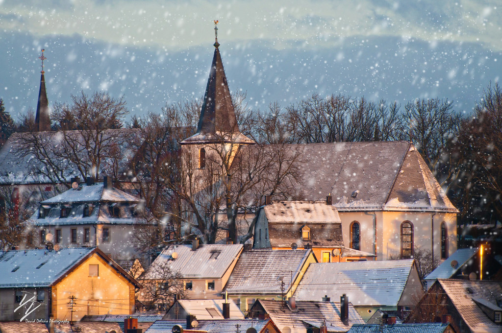
Baumholder Snow
#vscocam #landscape

SAARLAND #6: Golfpark St. Wendel
2/365 good morning
51-P1020464
12/365 just a day
stoned ocean - steinernes Meer
30-P1020441

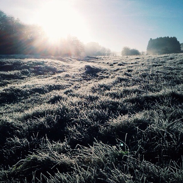
just a sunrise

#Trailrunning #vscocam #trailrun #trail #joggen #laufen #traillauf

Hangard Schauinslandweg 2
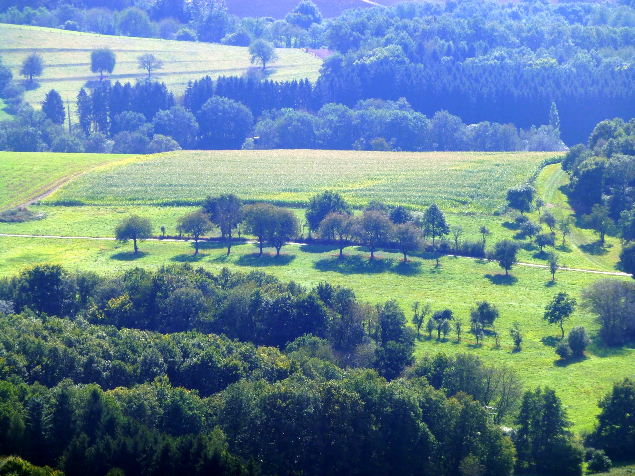
die landschaft
50-P1020463

just a sunset
Topographic Map of Herchweiler, Germany
Find elevation by address:

Places in Herchweiler, Germany:
Places near Herchweiler, Germany:
Kuseler Str. 27, Herchweiler, Germany
Haupersweiler
Stockgarten 1, Freisen, Germany
Neumeyerstraße 24, St. Wendel, Germany
Langenbach
Wiesenstraße 34, Langenbach, Germany
Pfeffelbach
St.-Wendeler-Straße 1, Pfeffelbach, Germany
Freisen
Herschweiler-pettersheim
Weidenstraße 11
Bockhof
Breitenbach
Fürther Str. 33, Breitenbach, Germany
2a
Sankt Wendel
Liebenburgstraße 21, Namborn, Germany
Eisweiler
Winkenbacher Hof 1, Sankt Wendel, Germany
Namborn
Recent Searches:
- Elevation of Corso Fratelli Cairoli, 35, Macerata MC, Italy
- Elevation of Tallevast Rd, Sarasota, FL, USA
- Elevation of 4th St E, Sonoma, CA, USA
- Elevation of Black Hollow Rd, Pennsdale, PA, USA
- Elevation of Oakland Ave, Williamsport, PA, USA
- Elevation of Pedrógão Grande, Portugal
- Elevation of Klee Dr, Martinsburg, WV, USA
- Elevation of Via Roma, Pieranica CR, Italy
- Elevation of Tavkvetili Mountain, Georgia
- Elevation of Hartfords Bluff Cir, Mt Pleasant, SC, USA