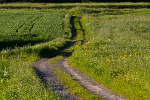
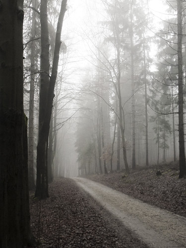
Elevation of Nagel, Germany
Location: Austria > Bavaria > Upper Franconia >
Longitude: 11.9196104
Latitude: 49.9778989
Elevation: 579m / 1900feet
Barometric Pressure: 95KPa
Related Photos:
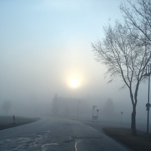
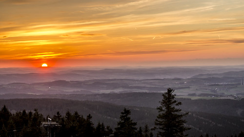
#Amazing #sunrise #sun #TagsForLikes #TFLers #pretty #beautiful #red #orange #pink #sky #skyporn #cloudporn #nature #clouds #horizon #photooftheday #instagood #gorgeous #warm #view #morning #silhouette #instasky #fog #tree #road
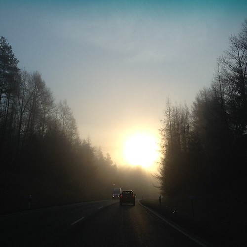
#amazing #sunrise #sun #TagsForLikes #TFLers #pretty #beautiful #red #orange #pink #sky #skyporn #cloudporn #nature #clouds #horizon #photooftheday #instagood #gorgeous #warm #view #morning #silhouette #instasky #fog

It's like a Fairy Tale! #sunrise #sun #TagsForLikes #TFLers #pretty #beautiful #red #orange #pink #sky #skyporn #cloudporn #nature #clouds #horizon #photooftheday #instagood #gorgeous #warm #view #night #morning #silhouette #instasky
Topographic Map of Nagel, Germany
Find elevation by address:

Places in Nagel, Germany:
Places near Nagel, Germany:
5a
Hauptstraße 40
Hasenbergstraße 5, Fichtelberg, Germany
Fichtelberg
Meierhof
Herzogshut 4, Immenreuth, Germany
Hahnengrün 1, Kirchenpingarten, Germany
Berliner Weg 2
Warmensteinach
Matthäus-Herrmann-Platz, Warmensteinach, Germany
Bischofsgrün
Weidenberg
Eichenhof 1, Weidenberg, Germany
1a
Hofer Str. 7, Gefrees, Germany
Gefrees
Goldkronach
Bärnreuth 73, Bad Berneck im Fichtelgebirge, Germany
Bärnreuth
Ützdorf
Recent Searches:
- Elevation of Corso Fratelli Cairoli, 35, Macerata MC, Italy
- Elevation of Tallevast Rd, Sarasota, FL, USA
- Elevation of 4th St E, Sonoma, CA, USA
- Elevation of Black Hollow Rd, Pennsdale, PA, USA
- Elevation of Oakland Ave, Williamsport, PA, USA
- Elevation of Pedrógão Grande, Portugal
- Elevation of Klee Dr, Martinsburg, WV, USA
- Elevation of Via Roma, Pieranica CR, Italy
- Elevation of Tavkvetili Mountain, Georgia
- Elevation of Hartfords Bluff Cir, Mt Pleasant, SC, USA
