Latitude: 39.6843338
Longitude: -85.4404673
Elevation: 303 meters / 994 feet
Barometric Pressure 977KPa

Related Photos

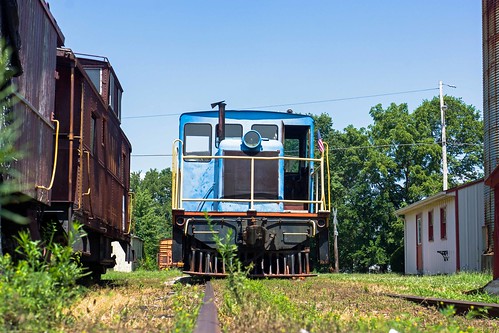
CKSRR, Carthage IN, railroad unitedstates indiana carthage
CKSRR, Carthage IN
Hoosier Gym Locker Room, basketball room indiana locker gym huskers hoosiers hickory knightstown
Hoosier Gym Locker Room
Rushville Memorial Gym, 3a current gyms indianahsgyms
Rushville Memorial Gym
Bugs eye view of 45 tonner, Carthage IN, railroad unitedstates indiana carthage
Bugs eye view of 45 tonner, Carthage IN
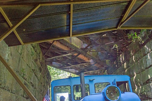
CKSRR, near Carthage IN, railroad unitedstates indiana knightstown
CKSRR, near Carthage IN
CKSRR, railroad unitedstates indiana knightstown
CKSRR
Summer Day, Indiana, indiana
Summer Day, Indiana
Norris Ford Covered Bridge in Rushville, Indiana - Built in 1916 by EL Kennedy & Sons, 1916 amish bridge bridgeton coveredbridges elkennedysons ford horse indiana indianacoveredbridge kennedy norrisford exif:model=canoneos6d exif:lens=ef1740mmf4lusm exif:aperture=ƒ80 camera:make=canon exif:isospeed=100 geostate camera:model=canoneos6d geo:lat=39655388333333 geocountry geolocation geocity geo:lon=85410271666667 exif:focallength=40mm exif:make=canon abandoned animals architecture art astro birds blue car city clouds garden green grist mills lake landscape light lighthouse moon mountains nature old park river skyscraper star street sunset travel trees water waterfall weather
Norris Ford Covered Bridge in Rushville, Indiana - Built in 1916 by EL Kennedy & Sons
Windmill,
Windmill
Silos,
Silos
December Sunset,
December Sunset
DSCF5779, rain cycling 2010 roadbiking rideacrossindiana
DSCF5779
DSC_1596 (100 of 135) - Version 4, field corn farm
DSC_1596 (100 of 135) - Version 4
A Field with trees on the side and a path on the leftish side if you're looking north, farm
A Field with trees on the side and a path on the leftish side if you're looking north