Elevation of N Main St, Palmyra, IL, USA
Location: United States > Illinois > Macoupin County > North Palmyra Township > Palmyra >
Longitude: -89.996070
Latitude: 39.4349517
Elevation: 205m / 673feet
Barometric Pressure: 99KPa
Elevation Map:
Satellite Map:
Related Photos:

Horseshoe Club
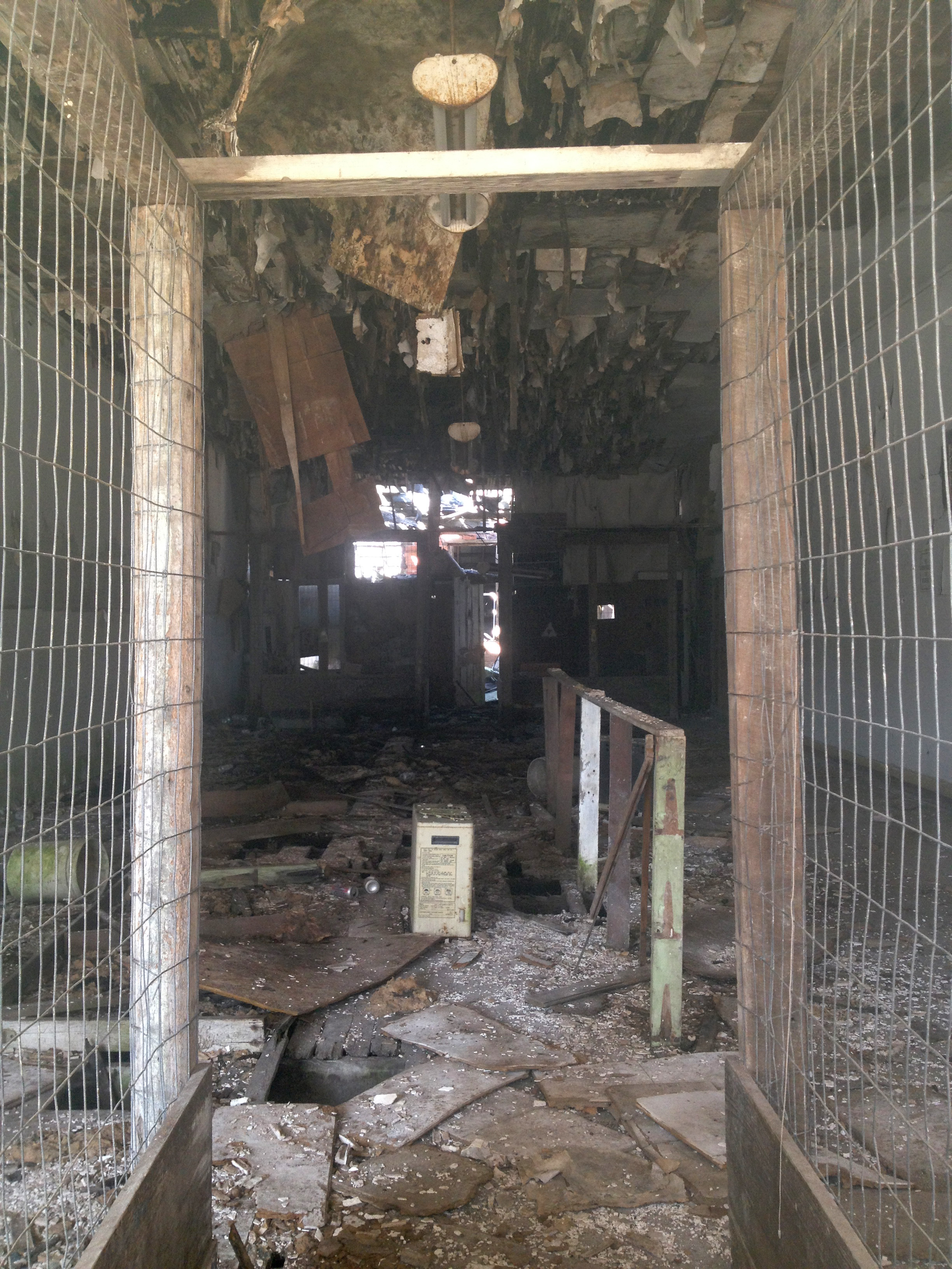
Abandoned store
Launderama 3

Loaf's dog
Launderama 1

Loaf's dragon
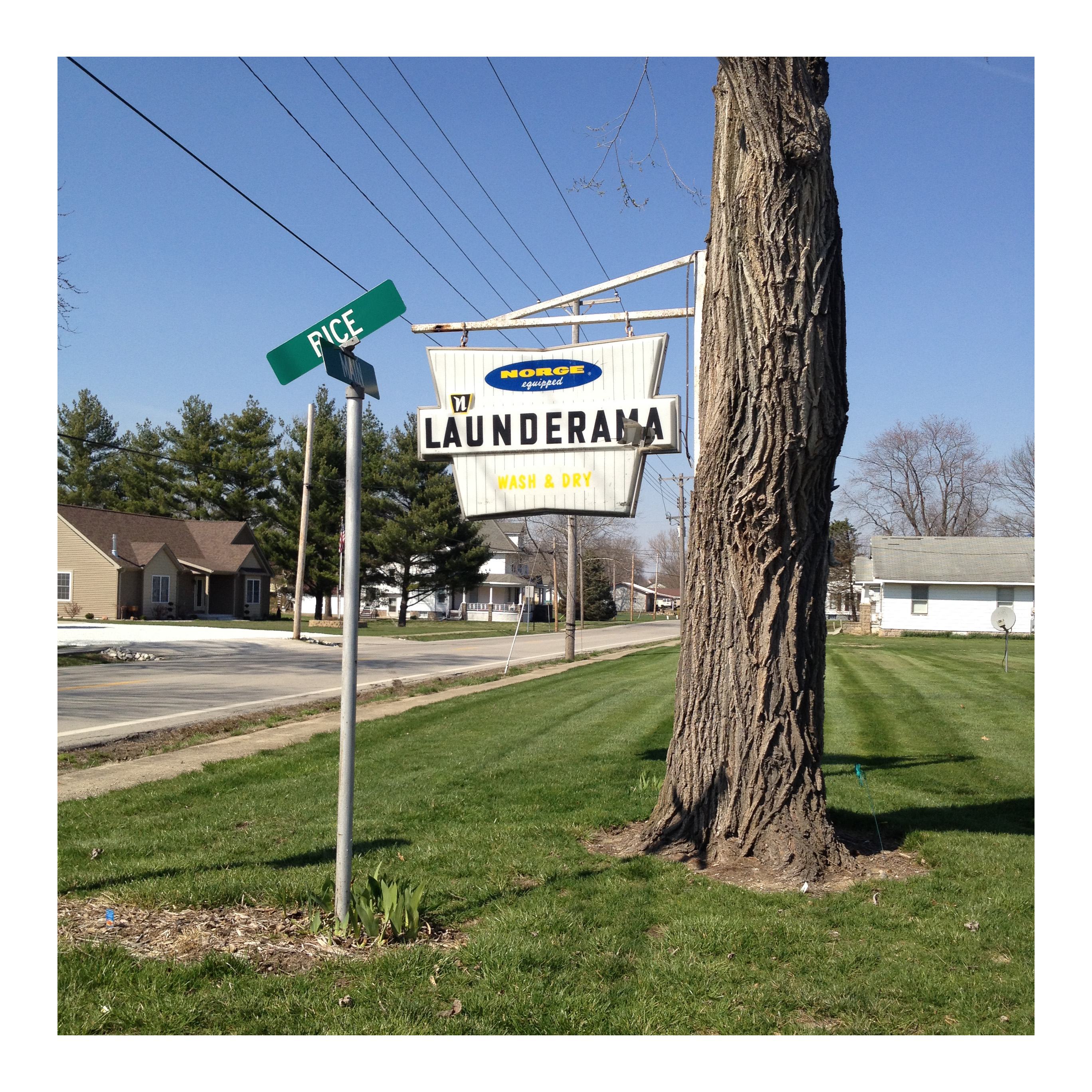
Launderama 2

happiness is ...
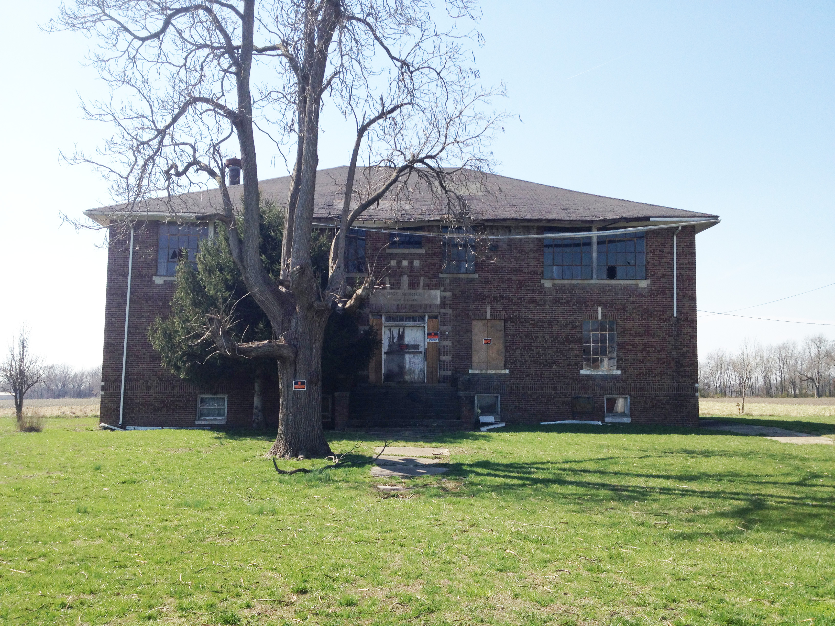
High School

Press box - 2016

Tree, house

girl watchin'
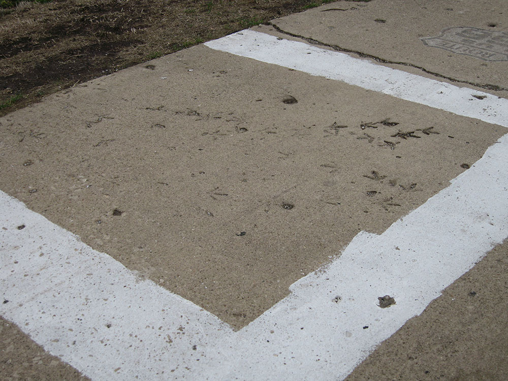
Turkey tracks in cement
Turkey tracks in cement

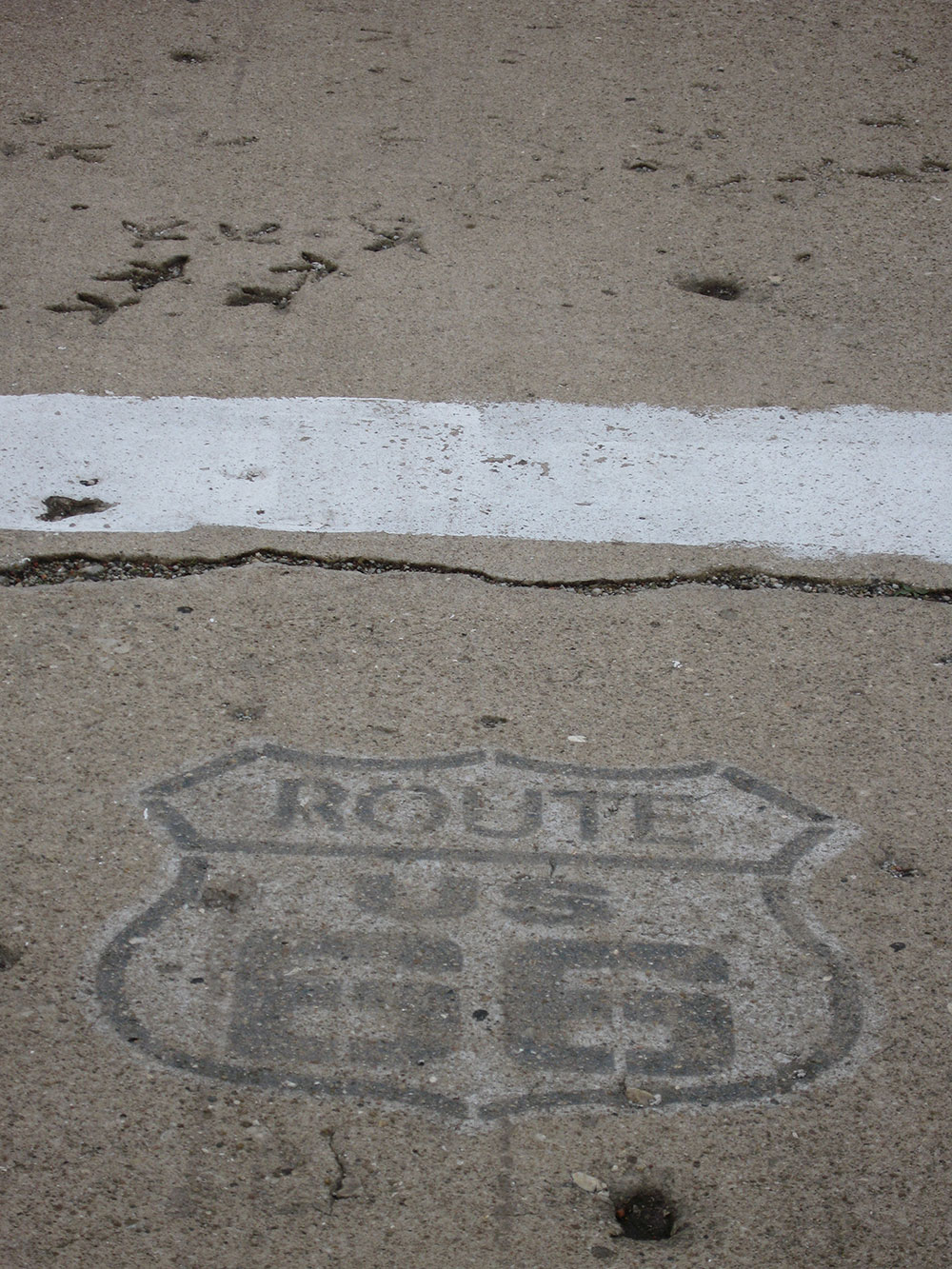
Route 66 - 13 Star Flag Barn
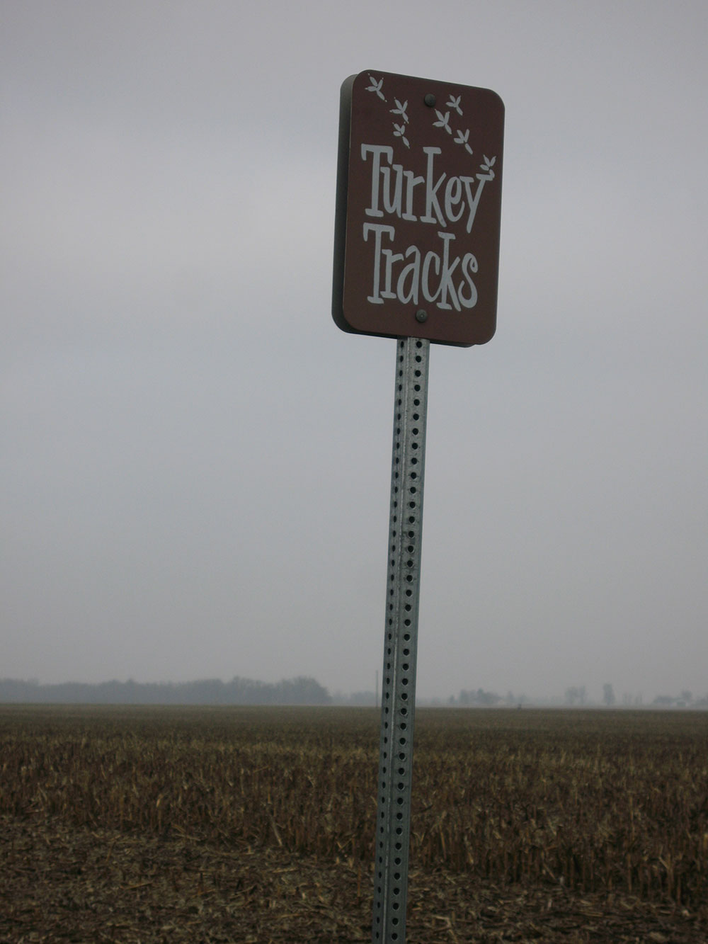
Turkey tracks in cement

Turkey tracks in cement
Topographic Map of N Main St, Palmyra, IL, USA
Find elevation by address:

Places near N Main St, Palmyra, IL, USA:
Palmyra
North Palmyra Township
20 Main St, Modesto, IL, USA
Modesto
Rohrer Rd, Waverly, IL, USA
Waverly
Virden
Van Ave, Virden, IL, USA
Nilwood Township
2nd Ave, Waggoner, IL, USA
Harrison Ave, Auburn, IL, USA
Auburn Township
Hunley Rd, Auburn, IL, USA
Loami Township
124 S Main St
W Center St, Loami, IL, USA
Loami
New Berlin Township
Sangamon Morgan County Line Rd, New Berlin, IL, USA
Auburn
Recent Searches:
- Elevation of Corso Fratelli Cairoli, 35, Macerata MC, Italy
- Elevation of Tallevast Rd, Sarasota, FL, USA
- Elevation of 4th St E, Sonoma, CA, USA
- Elevation of Black Hollow Rd, Pennsdale, PA, USA
- Elevation of Oakland Ave, Williamsport, PA, USA
- Elevation of Pedrógão Grande, Portugal
- Elevation of Klee Dr, Martinsburg, WV, USA
- Elevation of Via Roma, Pieranica CR, Italy
- Elevation of Tavkvetili Mountain, Georgia
- Elevation of Hartfords Bluff Cir, Mt Pleasant, SC, USA