Elevation of Hunley Rd, Auburn, IL, USA
Location: United States > Illinois > Sangamon County > Auburn Township > Auburn >
Longitude: -89.787219
Latitude: 39.6014538
Elevation: 192m / 630feet
Barometric Pressure: 99KPa
Elevation Map:
Satellite Map:
Related Photos:
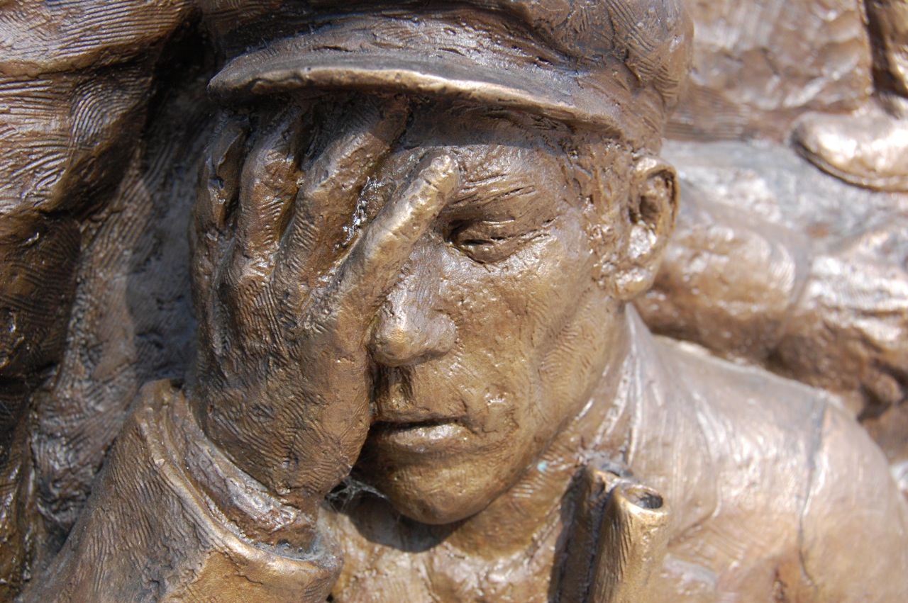
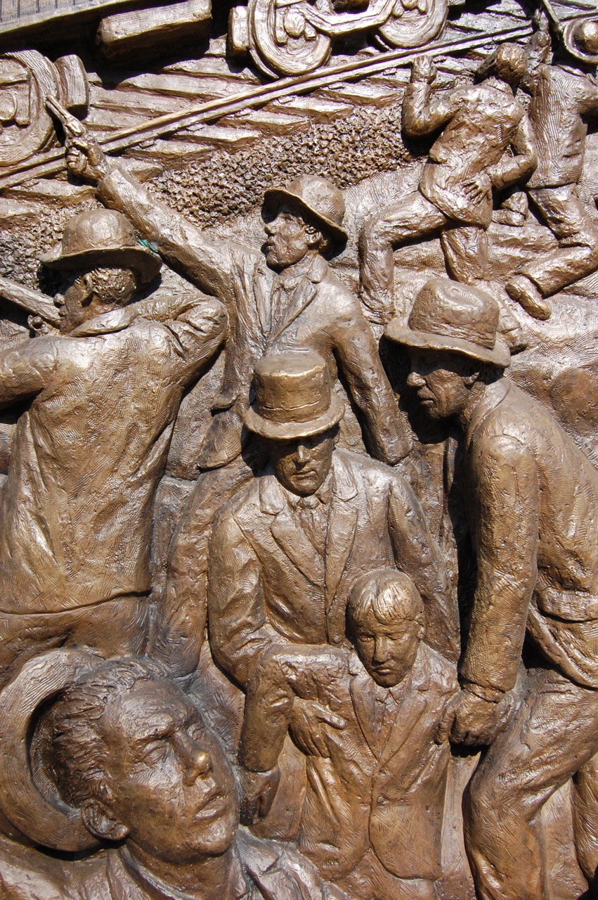
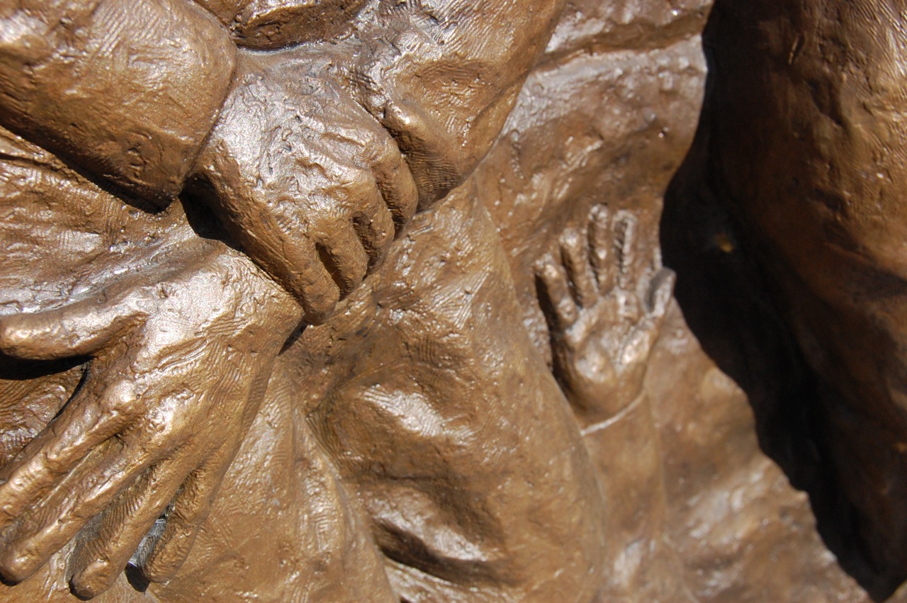
Virden Massacre Memorial
Chatham IL - Village Park

Glenarm IL - Former Methodist Church

Virden Massacre Memorial
Virden Massacre Memorial
Virden Massacre Memorial
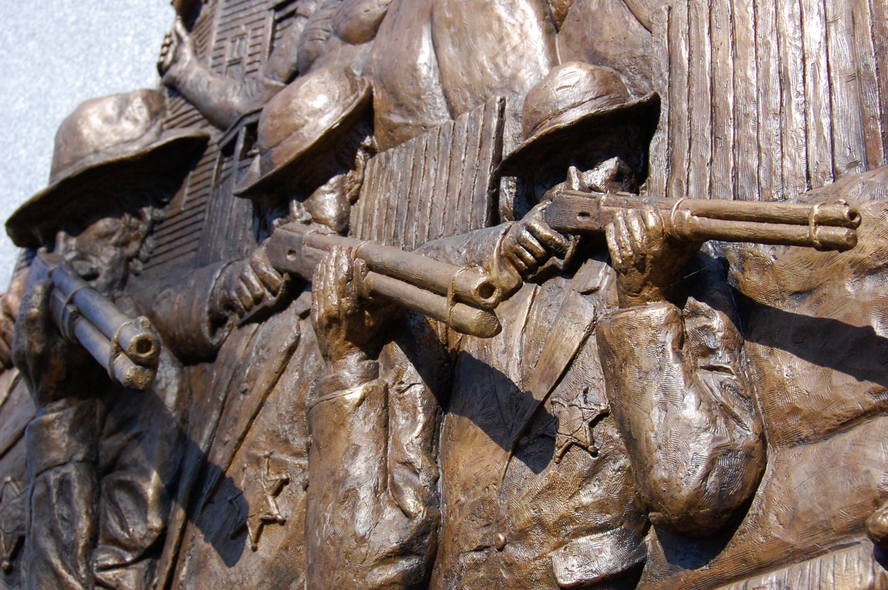
Virden Massacre Memorial
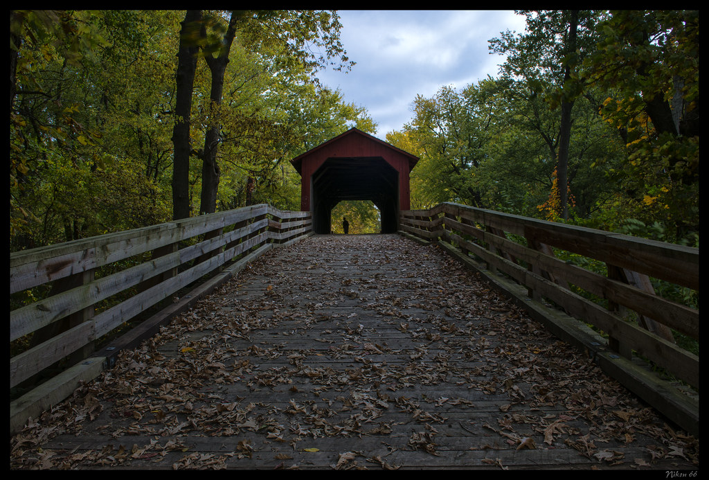
Sugar Creek Covered Bridge - No. 3
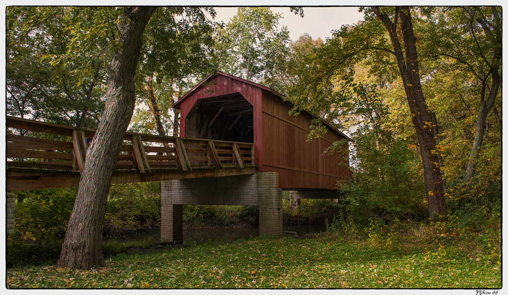
Sugar Creek Covered Bridge - No. 1
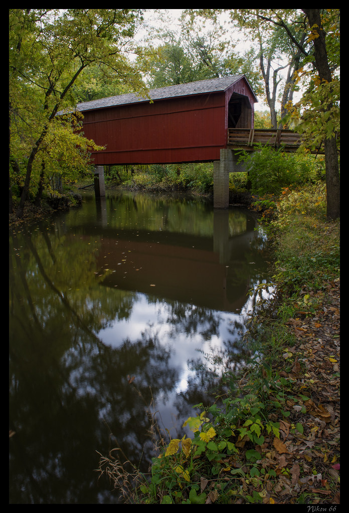
Sugar Creek Covered Bridge - No. 2

D31 at Curran - Part 2

NS #145 at Bates - Pt. 2

Brick 66

Herzog RLMWB-Cab
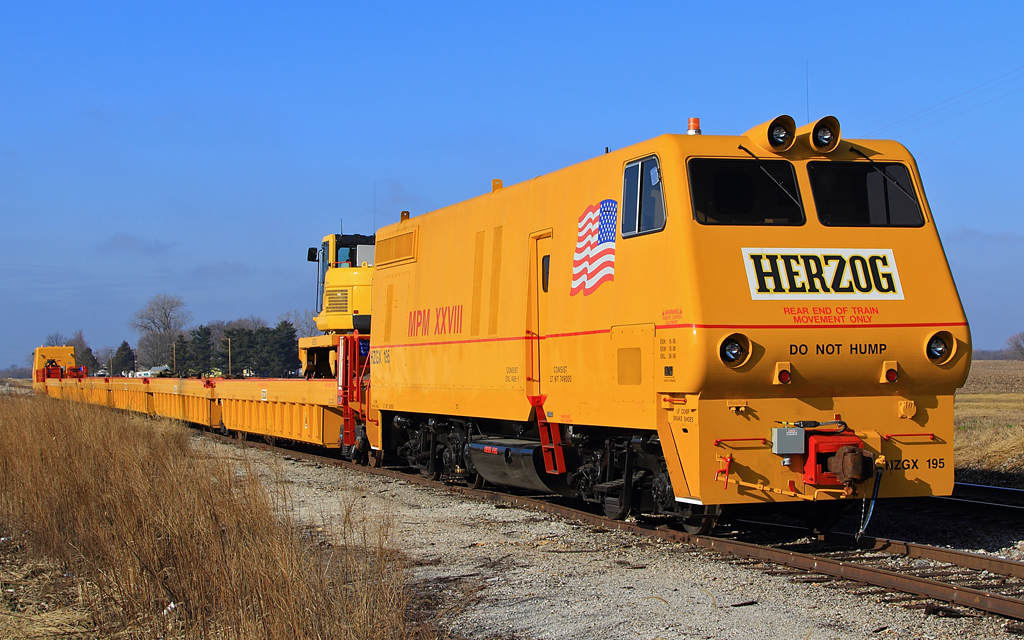
Herzog MPM at Curran - East End

NS #955 at Loami Road

View from Megabus

BNSF ES44C4 6933 at Curran

Herzog MPM at Curran - West End

Too-Filthy-Five

Auburn IL - Auburn Presbyerian Church (1 of 2)

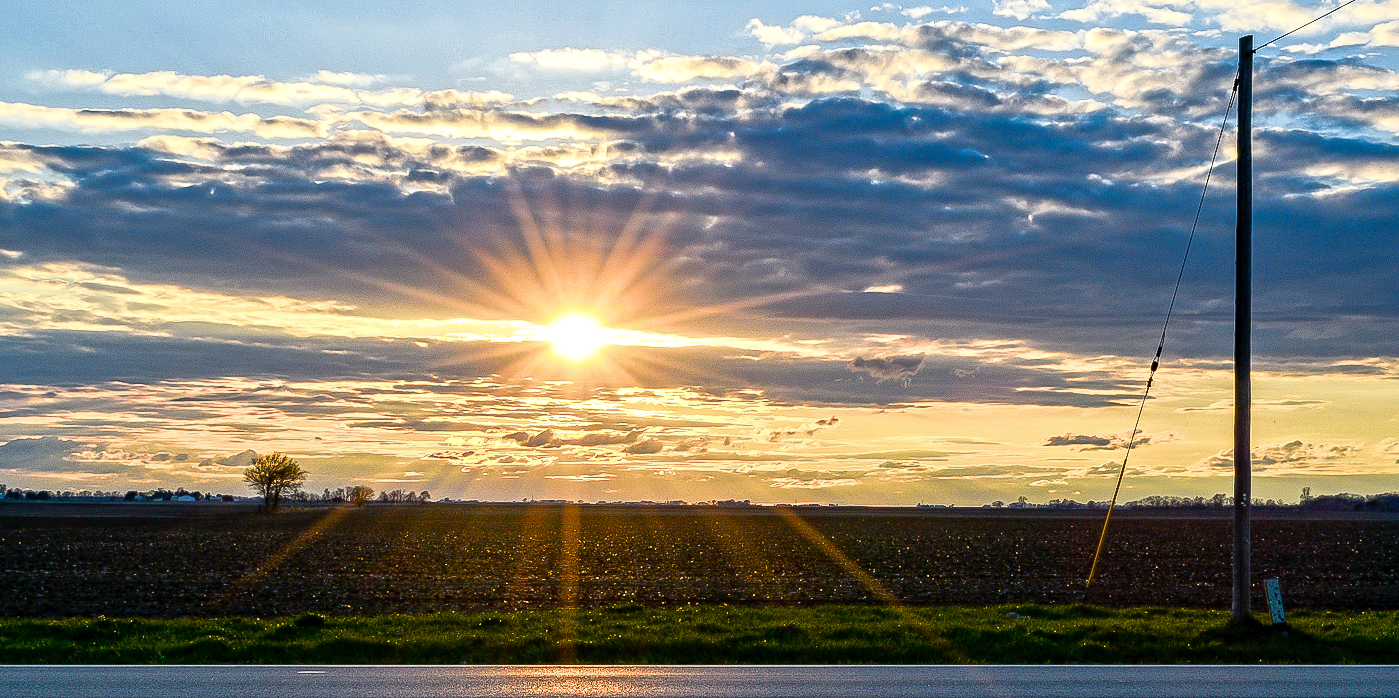
~Sunset~

~A River Runs Through It~
rolling thunder

Chatham, 2014

Beautiful day to drive

Best part!

Trees in Fog

Slender Spreadwing female
empty tower
Sugar Creek

Winter Walk in the Woods #lickcreekpreservetrail #lgg3cellcamera #gladihdmyrubberbootson
Maxwell Township, Sangamon County

Like a puzzle
Lake Springfield
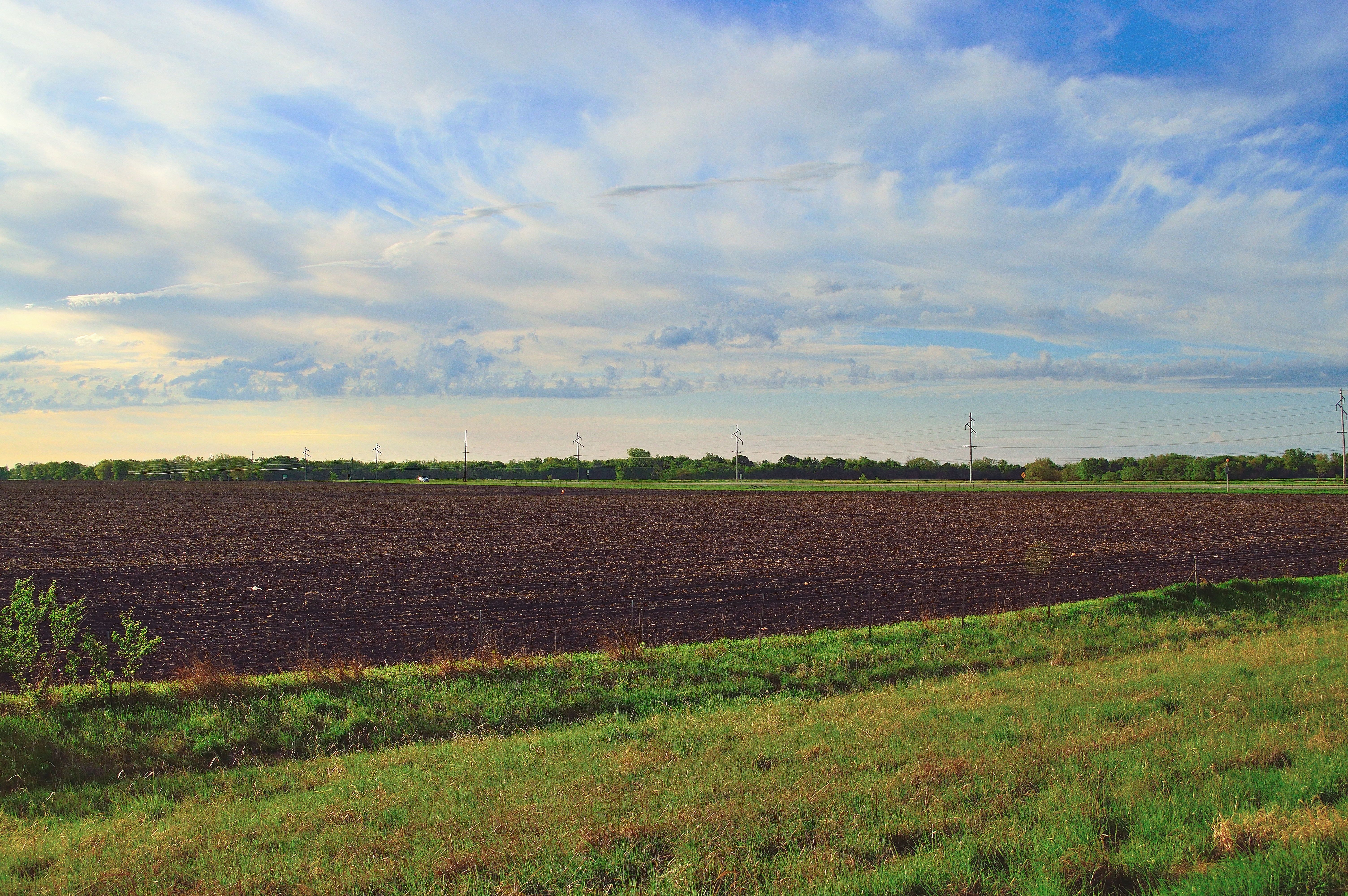
the good earth

Critical Alarm! Critical Alarm!
Sunny Afternoon
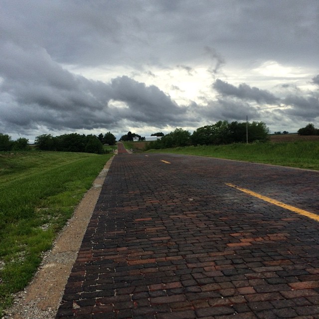
This is the last portion of Route 66 still made of bricks. #ObscuraDay
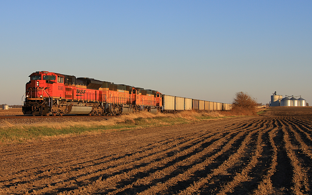
BNSF 9346 East at Lowder

Old Route 66, north of Auburn, IL. Very smooth brick paving.
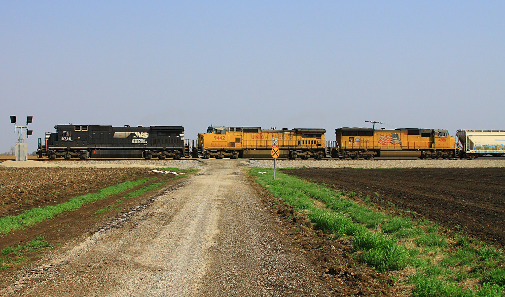
NS 33J at Farley's Lane
Topographic Map of Hunley Rd, Auburn, IL, USA
Find elevation by address:

Places near Hunley Rd, Auburn, IL, USA:
Auburn
Auburn Township
Harrison Ave, Auburn, IL, USA
Van Ave, Virden, IL, USA
Loami Township
124 S Main St
Loami
W Center St, Loami, IL, USA
Virden
IL-, Divernon, IL, USA
Divernon
S 1st St, Divernon, IL, USA
Ball Township
Main St, Glenarm, IL, USA
Glenarm
Divernon Township
Bunn
Bobby Dr, Divernon, IL, USA
Waverly
3462 Freedom Dr
Recent Searches:
- Elevation of Corso Fratelli Cairoli, 35, Macerata MC, Italy
- Elevation of Tallevast Rd, Sarasota, FL, USA
- Elevation of 4th St E, Sonoma, CA, USA
- Elevation of Black Hollow Rd, Pennsdale, PA, USA
- Elevation of Oakland Ave, Williamsport, PA, USA
- Elevation of Pedrógão Grande, Portugal
- Elevation of Klee Dr, Martinsburg, WV, USA
- Elevation of Via Roma, Pieranica CR, Italy
- Elevation of Tavkvetili Mountain, Georgia
- Elevation of Hartfords Bluff Cir, Mt Pleasant, SC, USA