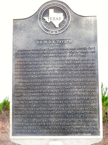
Elevation of N Main St, Linden, TX, USA
Location: United States > Texas > Cass County >
Longitude: -94.365581
Latitude: 33.0124439
Elevation: 117m / 384feet
Barometric Pressure: 100KPa
Related Photos:
Topographic Map of N Main St, Linden, TX, USA
Find elevation by address:

Places near N Main St, Linden, TX, USA:
Linden
1000 W Houston St
Linden, TX, USA
201 Co Rd 1752
896 Co Rd 1349
US-59, Jefferson, TX, USA
Cass County
810 Co Rd 2228
FM, Marietta, TX, USA
County Road 1465
TX-8, Douglassville, TX, USA
Co Rd, Bivins, TX, USA
Sardis
Douglassville
Hall Rd, Jefferson, TX, USA
568 Co Rd 2361
Avinger
Marion County
TX-49, Jefferson, TX, USA
Marietta
Recent Searches:
- Elevation of Corso Fratelli Cairoli, 35, Macerata MC, Italy
- Elevation of Tallevast Rd, Sarasota, FL, USA
- Elevation of 4th St E, Sonoma, CA, USA
- Elevation of Black Hollow Rd, Pennsdale, PA, USA
- Elevation of Oakland Ave, Williamsport, PA, USA
- Elevation of Pedrógão Grande, Portugal
- Elevation of Klee Dr, Martinsburg, WV, USA
- Elevation of Via Roma, Pieranica CR, Italy
- Elevation of Tavkvetili Mountain, Georgia
- Elevation of Hartfords Bluff Cir, Mt Pleasant, SC, USA


