Elevation of Avinger, TX, USA
Location: United States > Texas > Marion County >
Longitude: -94.556311
Latitude: 32.8998554
Elevation: 121m / 397feet
Barometric Pressure: 100KPa
Elevation Map:
Satellite Map:
Related Photos:
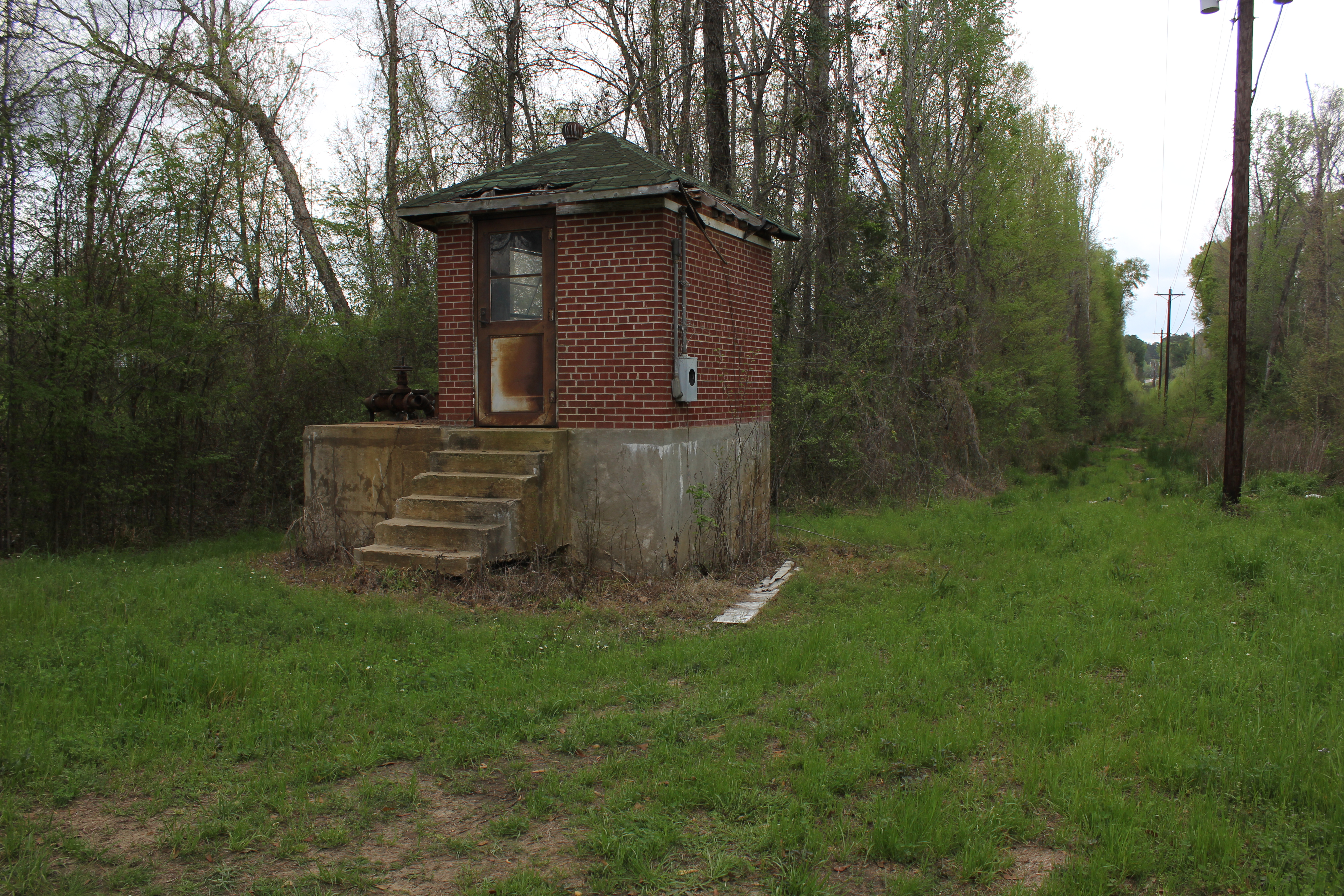
A Reminder
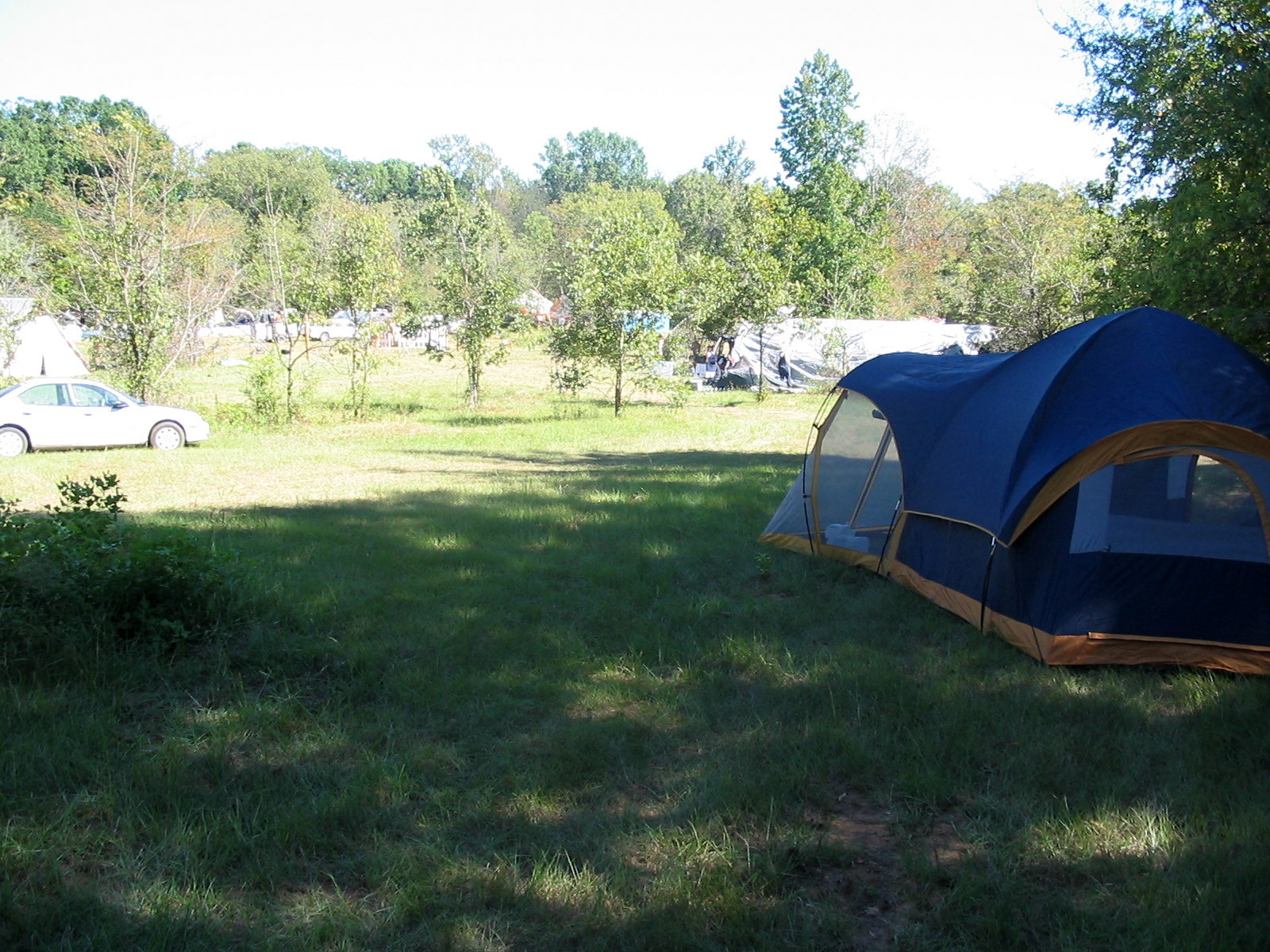
The view from the PentaSkwidagon

high holy place of my youth
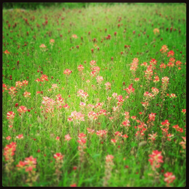
#indian paintbrush #crimson clover

EarlyFall Morning

The Calm

224 - Lone Star Texas
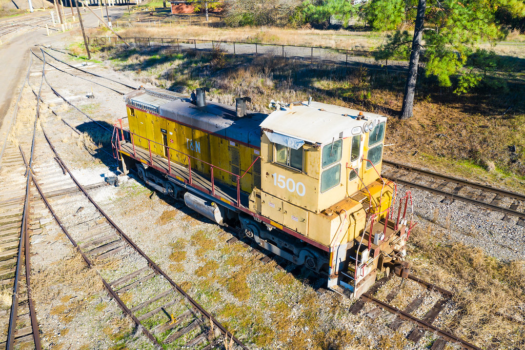
TN 1500 - Lone Star Texas

224 - Lone Star

226 - Lone Star

Lake O' the Pines - Cedar Springs Boat Ramp, Texas

City of Avinger, Texas - Water Tower

Post Office 75668 (Lone Star, Texas)

Sunset at Eagle Landing

TX155nRoadSign-Sunrise

Lone Star, Texas

Saw an old-timer fishing off the dam. I struck up a conversation and asked to take his picture. He politely declined, saying he "didn't want any ex-wives" tracking him down. We had a nice chat. I wondered aloud if the dam was a natural or engineering marv

Get your towels ready it's about to go down... #OnABoat

Christmas 2014

Christmas 2014

Christmas 2014

Christmas 2014

Christmas 2014

Christmas 2014

Christmas 2014

Christmas 2014

Christmas 2014
Topographic Map of Avinger, TX, USA
Find elevation by address:

Places near Avinger, TX, USA:
850 Navajo Dr
9419 Fm729
Sardis
Johnson Creek Camp
1st St, Hughes Springs, TX, USA
Hughes Springs
County Road 1465
Fannin St, Lone Star, TX, USA
FM, Jefferson, TX, USA
US-, Daingerfield, TX, USA
US-59, Jefferson, TX, USA
TX-49, Jefferson, TX, USA
Ore City
US-, Ore City, TX, USA
896 Co Rd 1349
728 Co Rd 2215
3119 Zinnia Rd
Daingerfield
1000 W Houston St
589 Baker Rd
Recent Searches:
- Elevation of Corso Fratelli Cairoli, 35, Macerata MC, Italy
- Elevation of Tallevast Rd, Sarasota, FL, USA
- Elevation of 4th St E, Sonoma, CA, USA
- Elevation of Black Hollow Rd, Pennsdale, PA, USA
- Elevation of Oakland Ave, Williamsport, PA, USA
- Elevation of Pedrógão Grande, Portugal
- Elevation of Klee Dr, Martinsburg, WV, USA
- Elevation of Via Roma, Pieranica CR, Italy
- Elevation of Tavkvetili Mountain, Georgia
- Elevation of Hartfords Bluff Cir, Mt Pleasant, SC, USA