Elevation of FM, Avinger, TX, USA
Location: United States > Texas > Marion County >
Longitude: -94.561697
Latitude: 32.7943006
Elevation: -10000m / -32808feet
Barometric Pressure: 295KPa
Elevation Map:
Satellite Map:
Related Photos:

View from our tent, 4th of July Lake of Pines

EarlyFall Morning

big cypress.jpg

sunrise.jpg
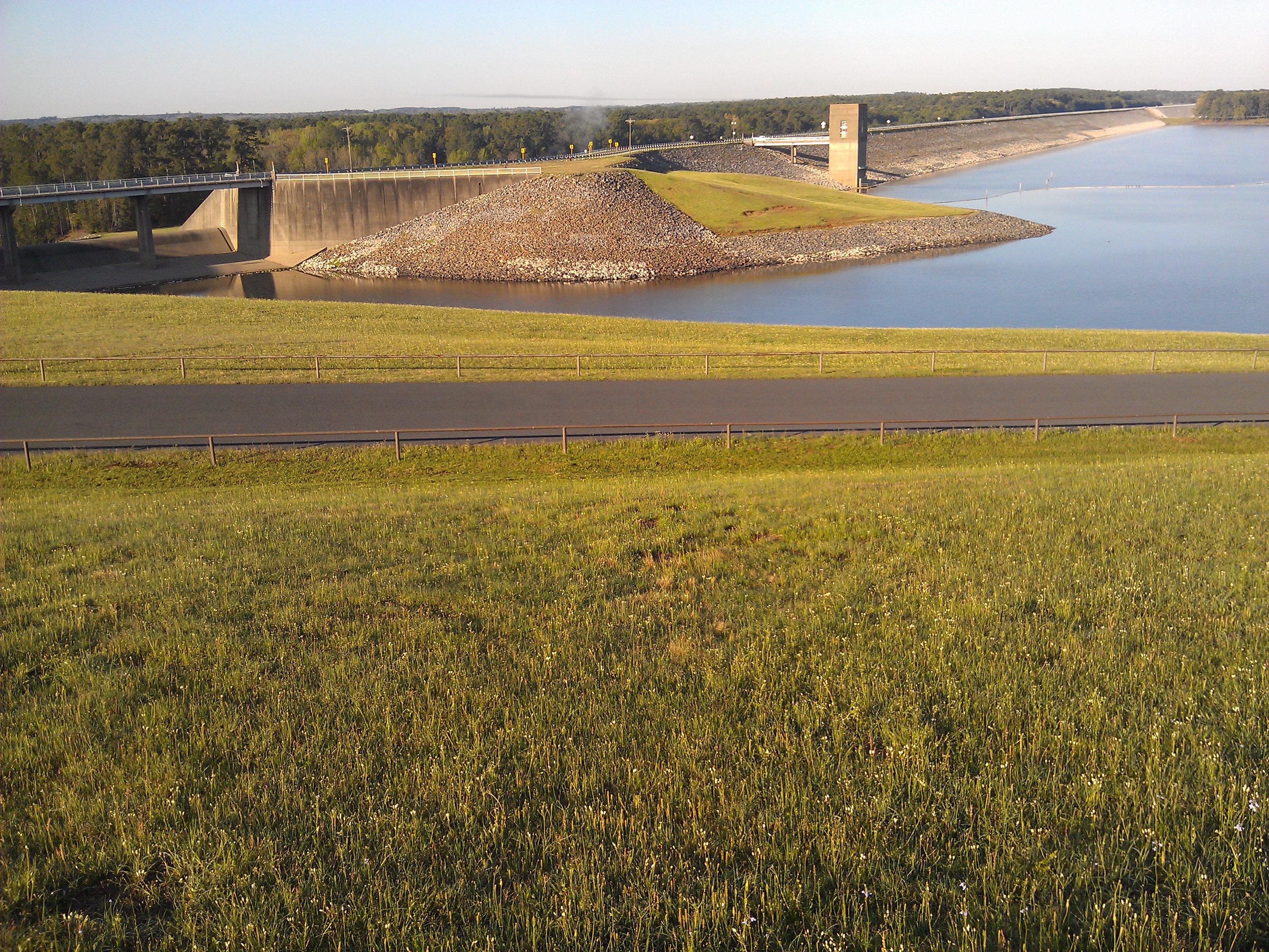
Lake O' the Pines- Marion County TX (7)

#indian paintbrush #crimson clover
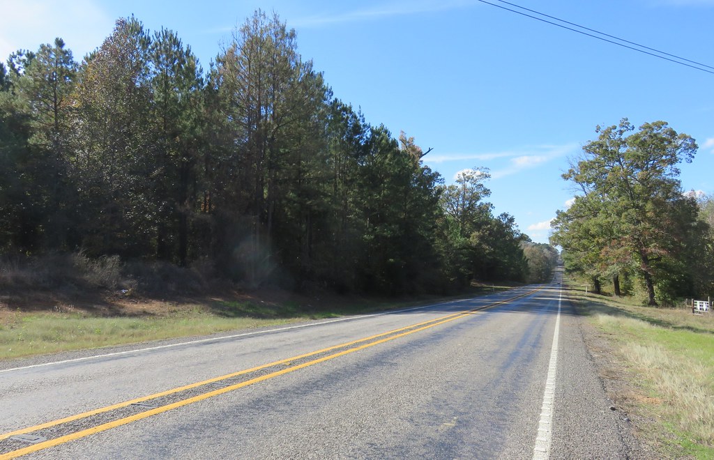
Piney Woods Landscape (Harrison County, Texas)

City of Avinger, Texas - Water Tower

Friends and Family

Sunset at Eagle Landing

TX155nRoadSign-Sunrise

Christmas 2014

Christmas 2014

Christmas 2014

Christmas 2014

Christmas 2014

Christmas 2014

Christmas 2014

Christmas 2014

Christmas 2014

Christmas 2014

Christmas 2014

Christmas 2014

Christmas 2014

Christmas 2014

Christmas 2014
Topographic Map of FM, Avinger, TX, USA
Find elevation by address:

Places near FM, Avinger, TX, USA:
Johnson Creek Camp
850 Navajo Dr
FM, Jefferson, TX, USA
Avinger
589 Baker Rd
589 Baker Rd
Harleton
TX-, Harleton, TX, USA
Harleton, TX, USA
3119 Zinnia Rd
TX-49, Jefferson, TX, USA
Ore City
US-, Ore City, TX, USA
13155 Hankins Heights
6047 Fm 726
Owl Road
Marion County
Diana
Fannin St, Lone Star, TX, USA
TX-, Diana, TX, USA
Recent Searches:
- Elevation of Corso Fratelli Cairoli, 35, Macerata MC, Italy
- Elevation of Tallevast Rd, Sarasota, FL, USA
- Elevation of 4th St E, Sonoma, CA, USA
- Elevation of Black Hollow Rd, Pennsdale, PA, USA
- Elevation of Oakland Ave, Williamsport, PA, USA
- Elevation of Pedrógão Grande, Portugal
- Elevation of Klee Dr, Martinsburg, WV, USA
- Elevation of Via Roma, Pieranica CR, Italy
- Elevation of Tavkvetili Mountain, Georgia
- Elevation of Hartfords Bluff Cir, Mt Pleasant, SC, USA