Elevation of N County Rd WS, Iron Ridge, WI, USA
Location: United States > Wisconsin > Dodge County > Rubicon >
Longitude: -88.518841
Latitude: 43.370267
Elevation: 290m / 951feet
Barometric Pressure: 98KPa
Elevation Map:
Satellite Map:
Related Photos:

Tomb With a View
Allenton Wreck--4

A Duck's View

NS 7700 on UP (2 of 2) - 11/3/2015

Diesel Green

1914 Kissel Kar 4-40 Semi-Racer Front View
Atop A City
Horicon Marsh 2012
Top of the town
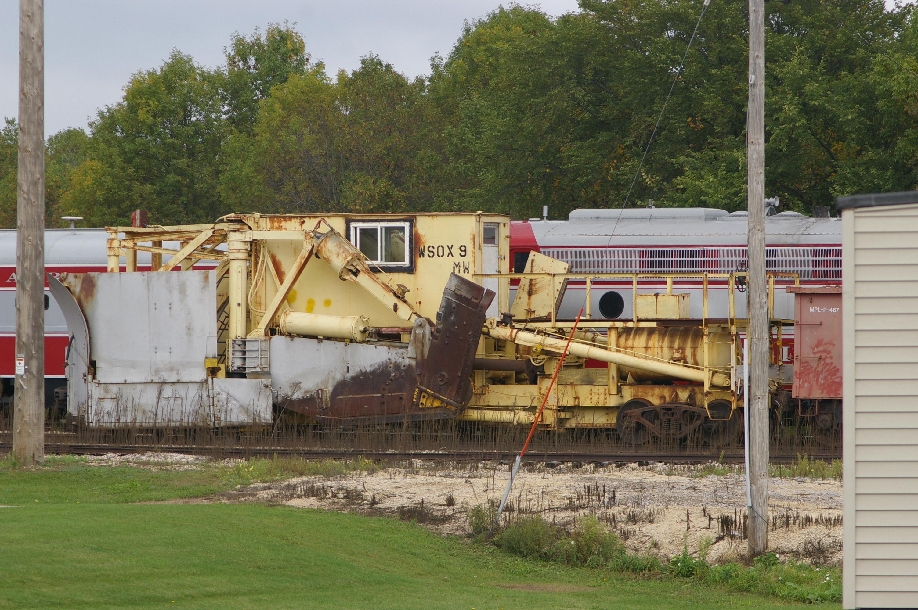
WSOX 9 Snow Plow
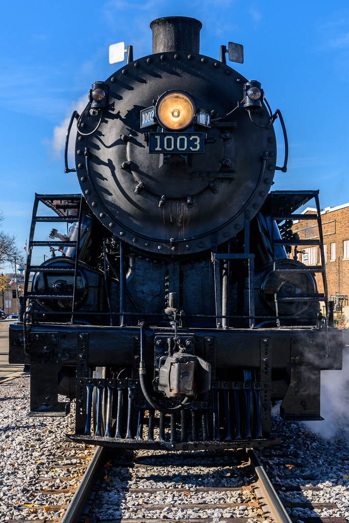
Soo Line 1003 Front View
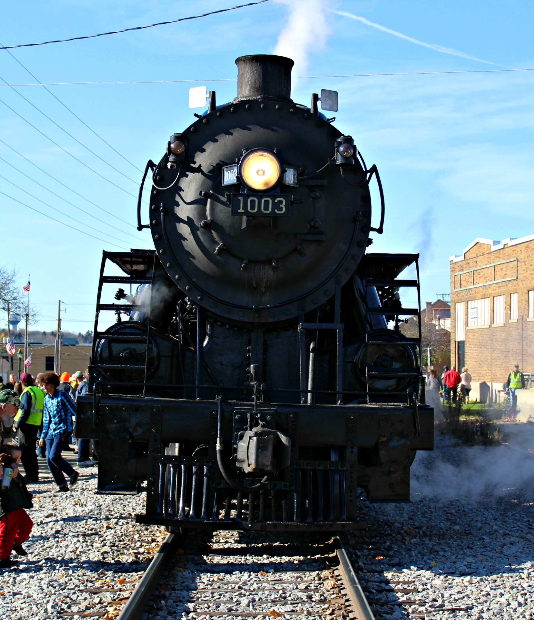
Staring Down a Soo Steamer
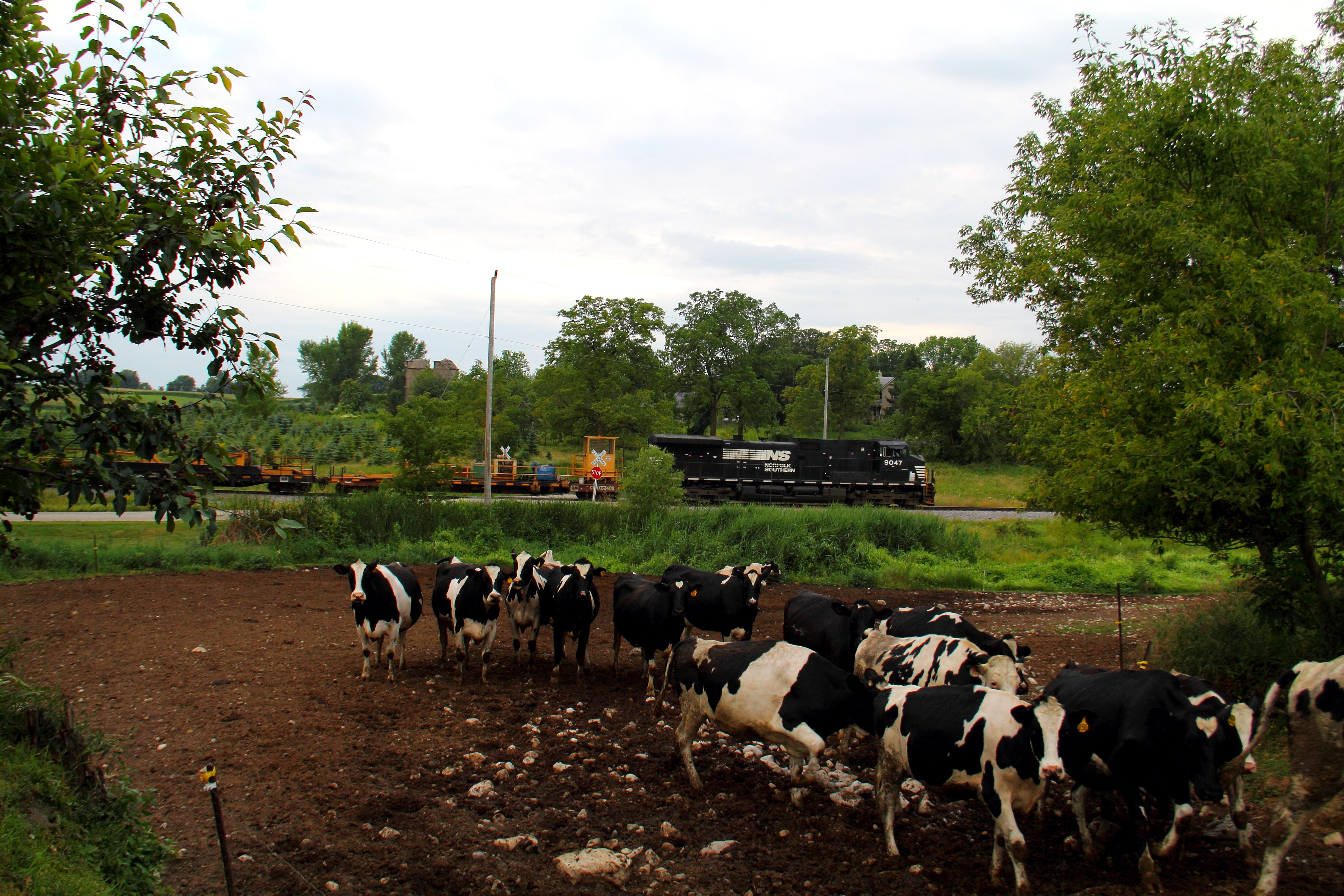
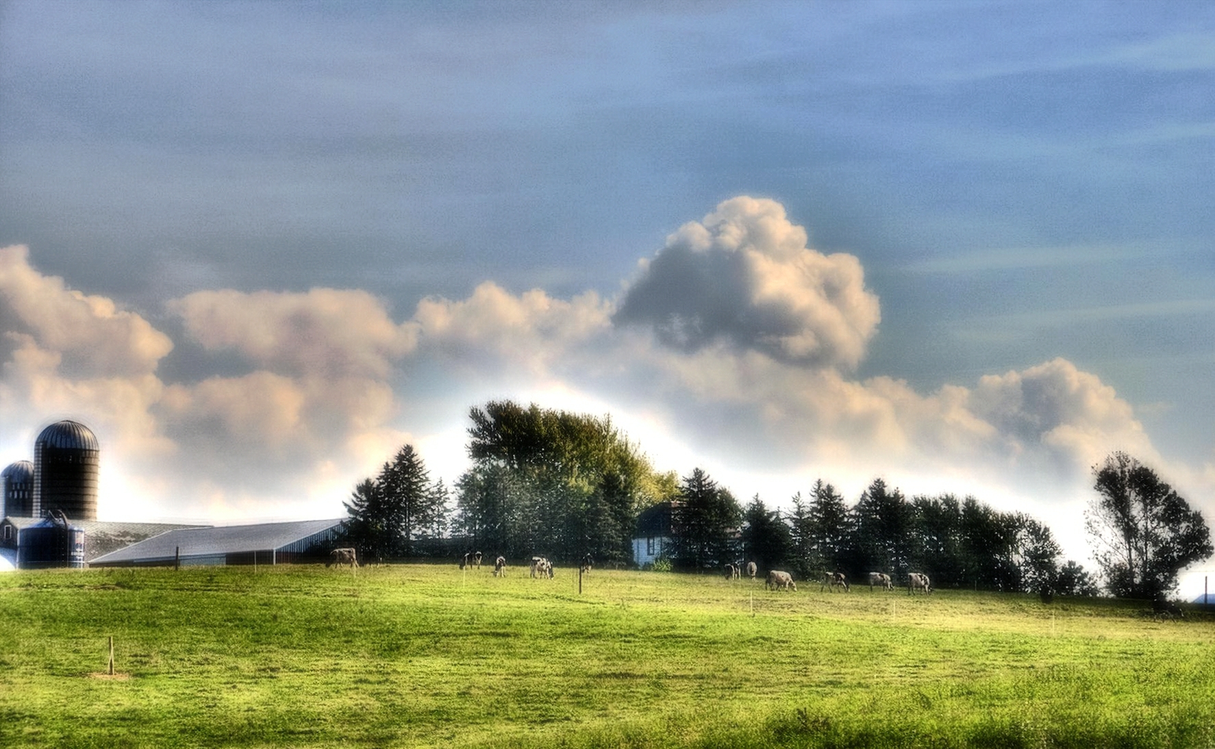
Cows!

The Closer I Get

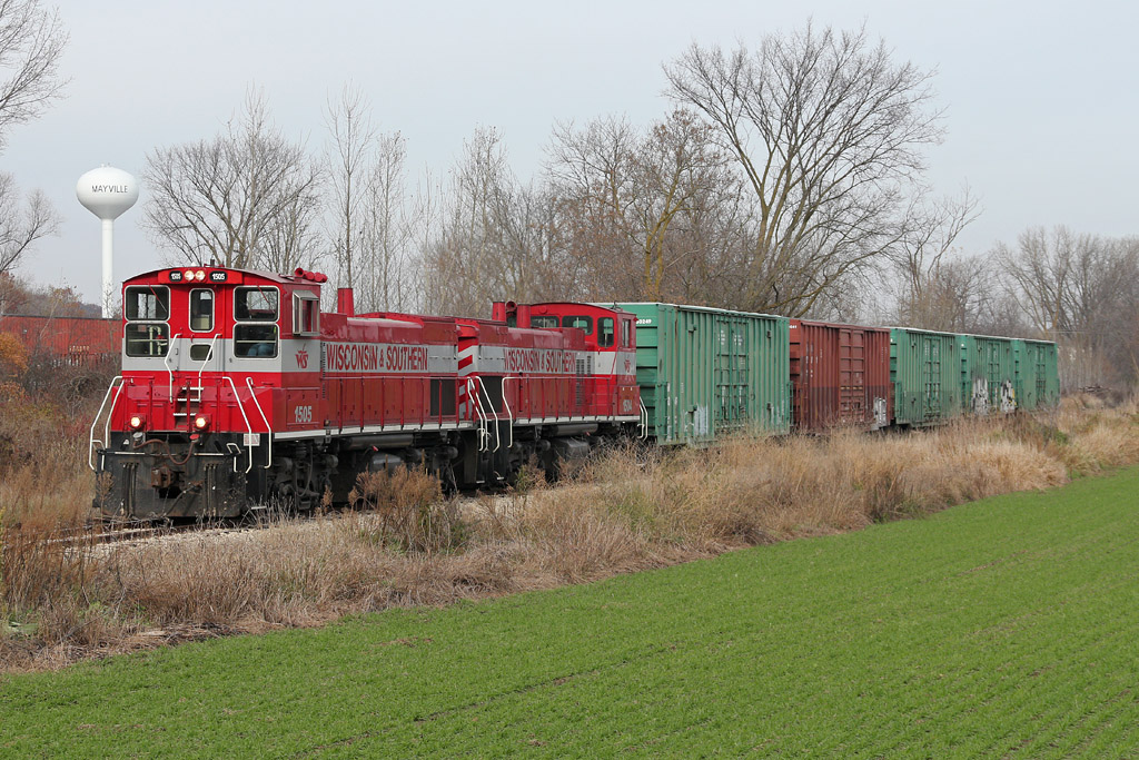
WSOR 4010 Iron Ridge

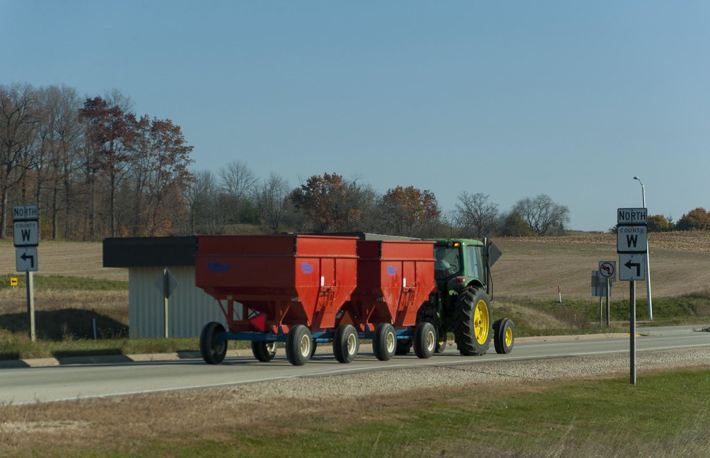
John Deere
Where is this again?
Harvest Time

Afternoon @ Ledge Park

Field Work
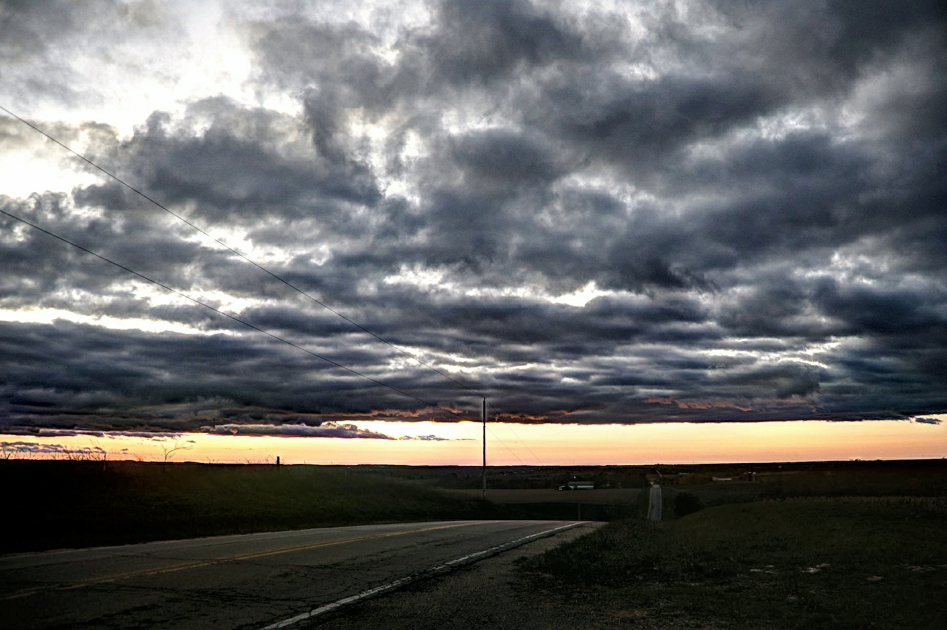
Road to Sundown
Wisconsin βουκολικός
Horicon Marsh

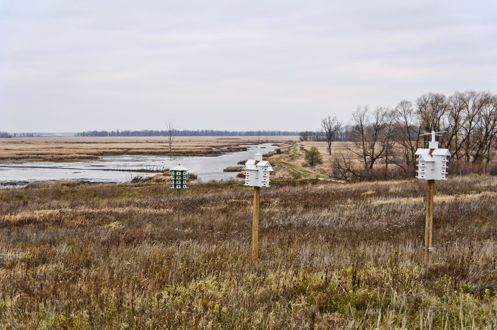
Wind Farming
Golden Flight
Depth of Wood

Thunderbird Blue
Shelter On The Marsh
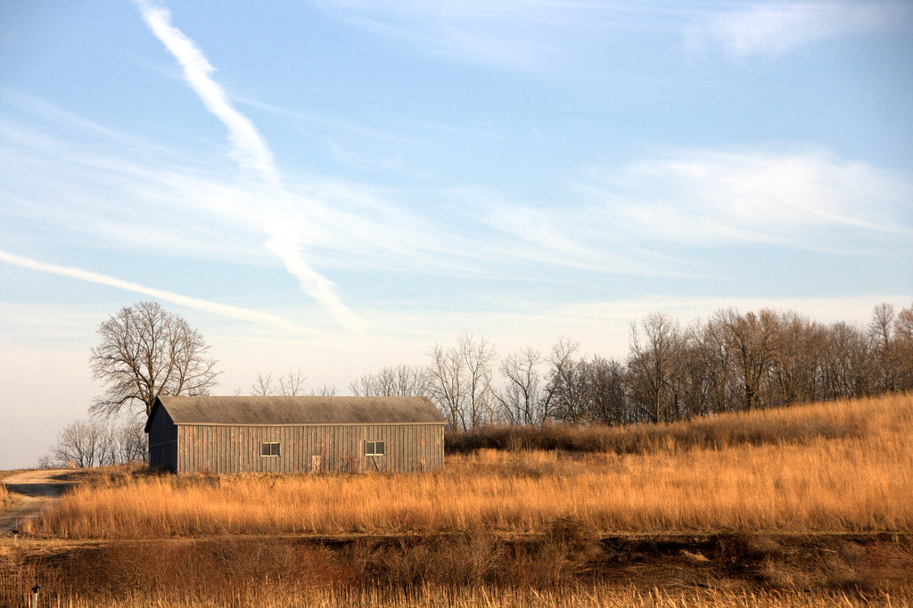
Horicon Marsh Out-building
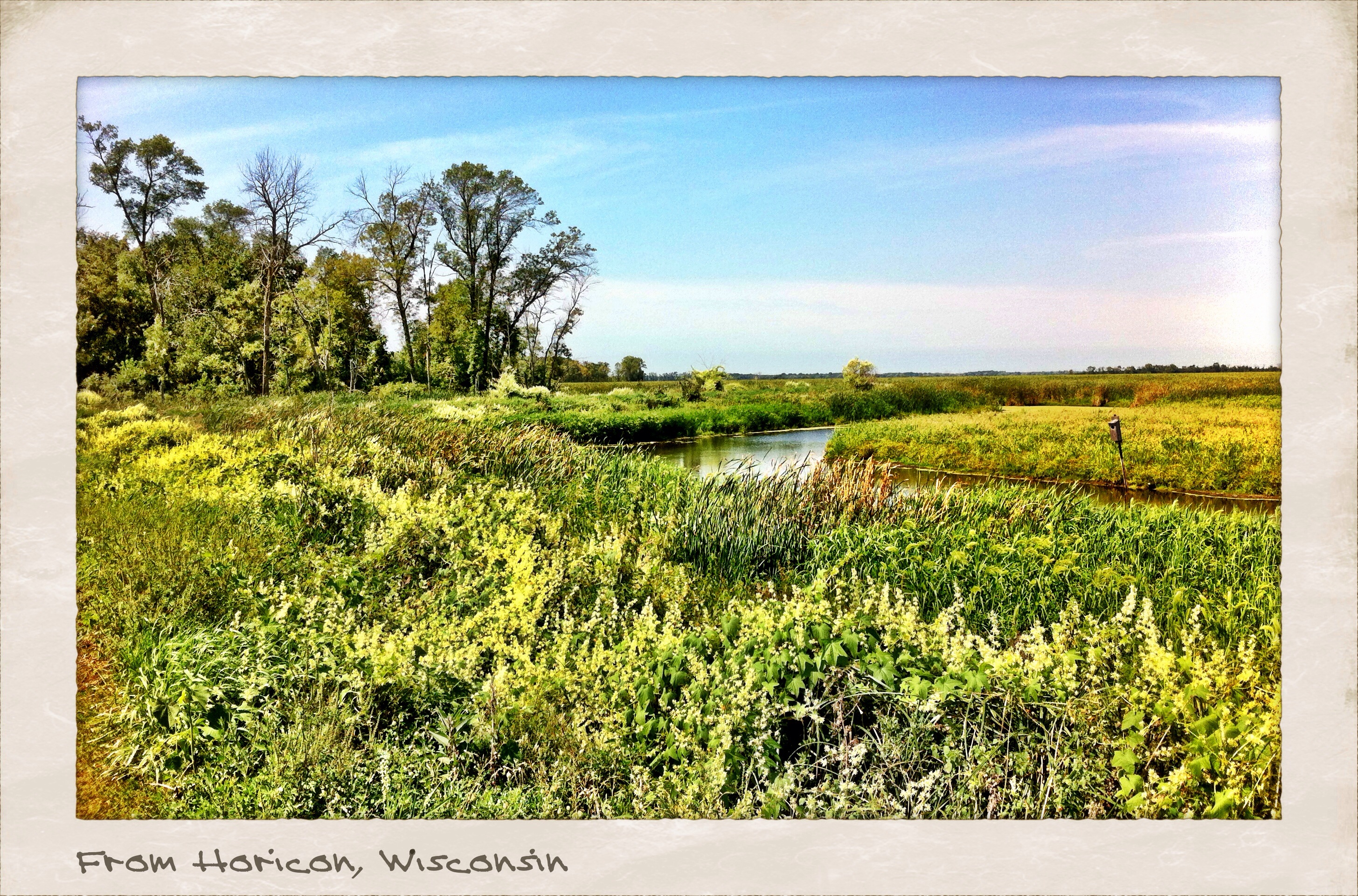
Postcard from Horicon.
Earth & Sky
Horicon Marsh
clouds, wisconsin
Wishing For The Wind

2013 Female House Sparrow

Ledge Park_001D7K_0707
When Green Becomes Gold
Topographic Map of N County Rd WS, Iron Ridge, WI, USA
Find elevation by address:

Places near N County Rd WS, Iron Ridge, WI, USA:
Iron Ridge
W1382 Grant Rd
Neosho
S Schuyler St, Neosho, WI, USA
Rubicon
Rubicon
Hubbard
W3701
Mckinley Road
318 Victor Dr
675 Summit St
Hartford
411 Grand Ave
423 Grand Ave
432 Grand Ave
755 Mc Kinley Ave
1211 Riverbend Dr
Hartford
Erin Hills Golf Course
Addison
Recent Searches:
- Elevation of Corso Fratelli Cairoli, 35, Macerata MC, Italy
- Elevation of Tallevast Rd, Sarasota, FL, USA
- Elevation of 4th St E, Sonoma, CA, USA
- Elevation of Black Hollow Rd, Pennsdale, PA, USA
- Elevation of Oakland Ave, Williamsport, PA, USA
- Elevation of Pedrógão Grande, Portugal
- Elevation of Klee Dr, Martinsburg, WV, USA
- Elevation of Via Roma, Pieranica CR, Italy
- Elevation of Tavkvetili Mountain, Georgia
- Elevation of Hartfords Bluff Cir, Mt Pleasant, SC, USA