Elevation of Addison, WI, USA
Location: United States > Wisconsin > Washington County >
Longitude: -88.343362
Latitude: 43.4139837
Elevation: 292m / 958feet
Barometric Pressure: 98KPa
Elevation Map:
Satellite Map:
Related Photos:
Lake Ice Thaw

Harvest Time

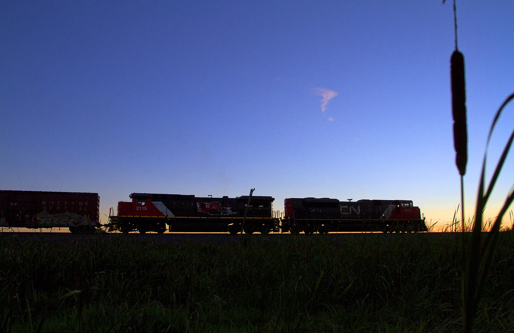
WSOR 4010 Iron Ridge

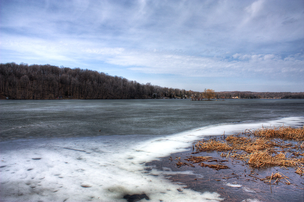
March Lake Thaw
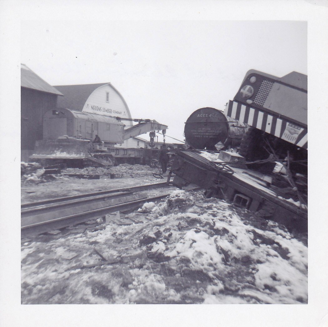
Allenton Wreck--4

View west of Kewaskum

1914 Kissel Kar 4-40 Semi-Racer Front View
Top of the town

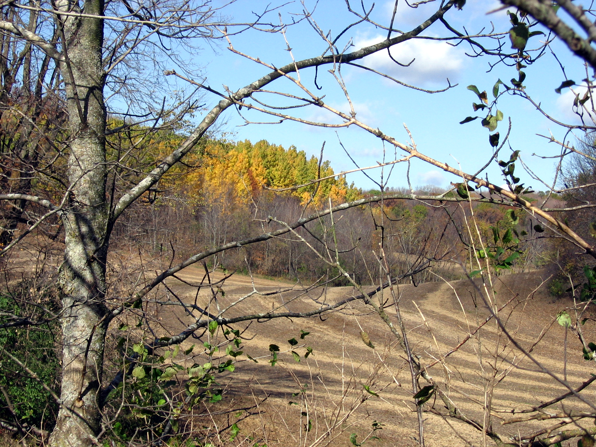
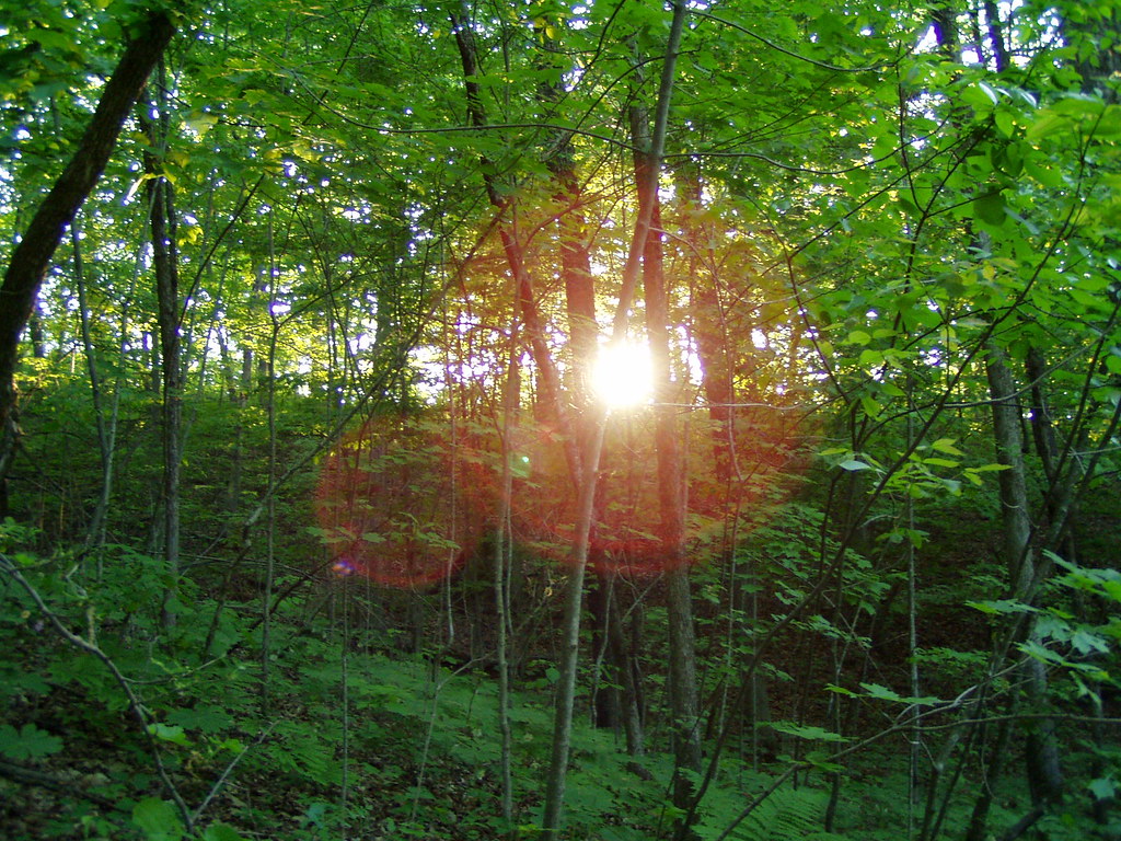
View through trees

2008 Video of the Year - 6 lap dash (1:17) at Slinger Super Speedway

Small Lake at Glacier Blue Hills

Lindsay in Renaissance side view
Wide lens view of field

first good view of the day

First view of the day
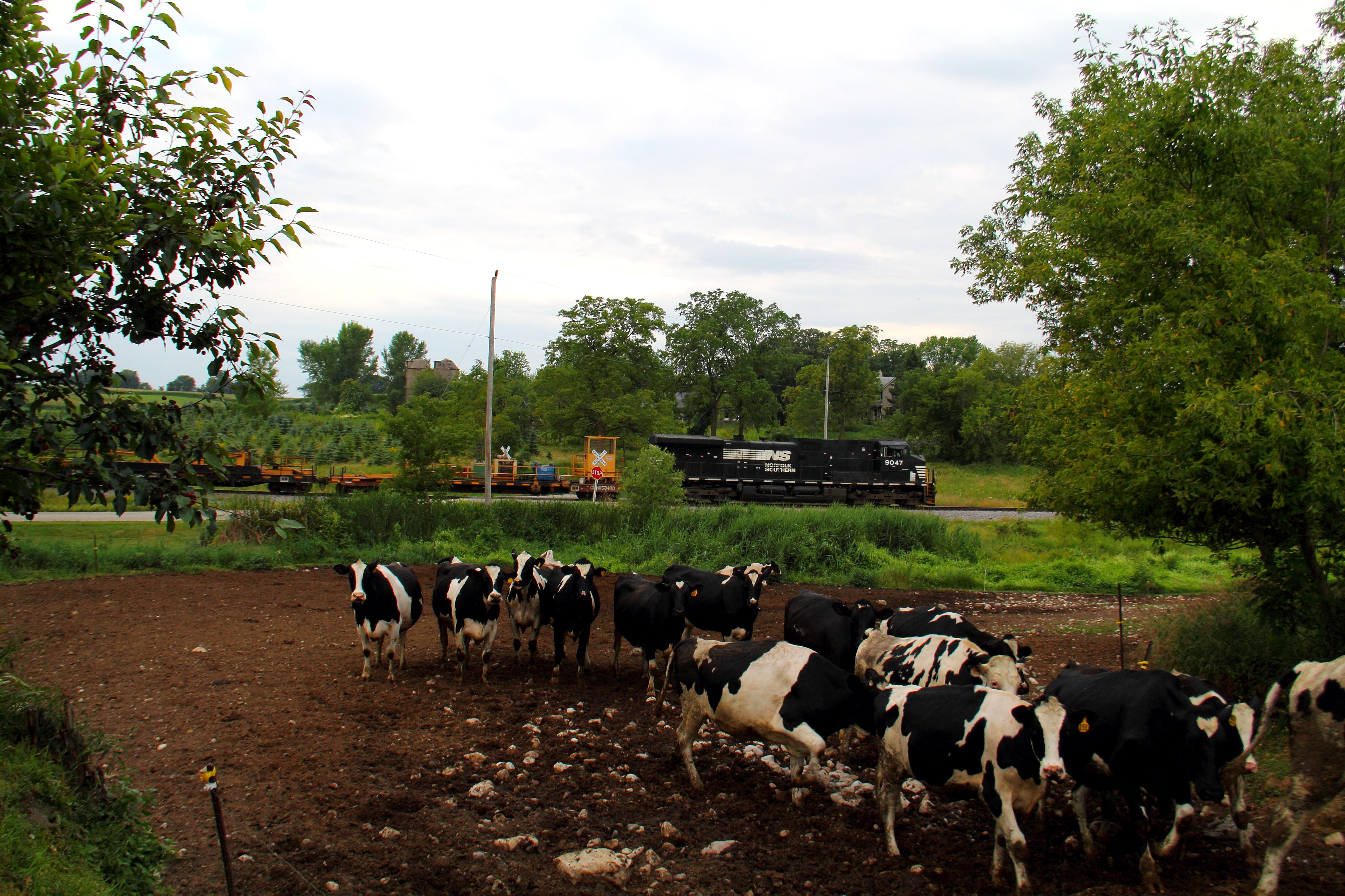
Cows!

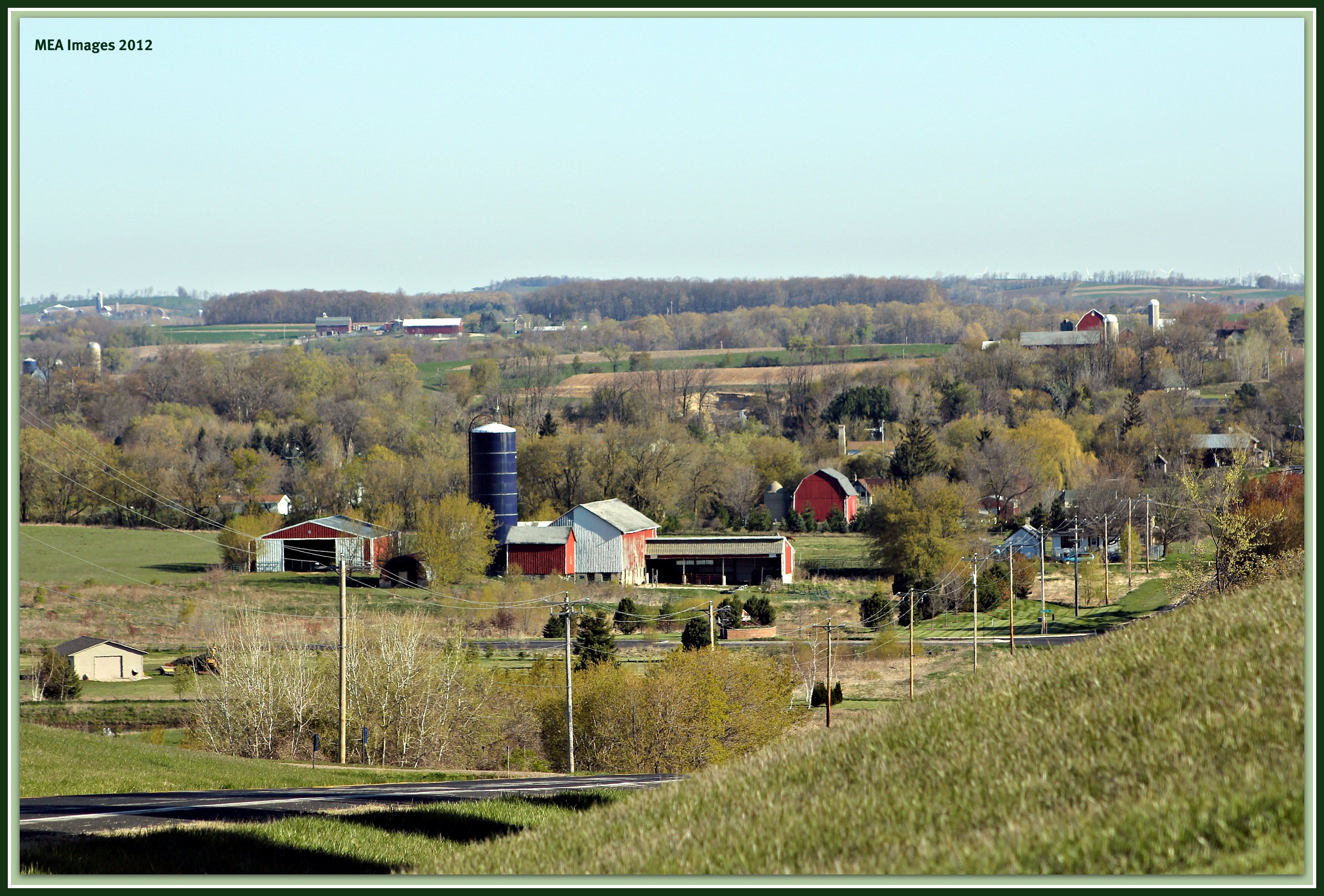
Rural Wisconsin

Feeding Frenzy

CN 5454, #340, HILLSIDE Xing, SLINGER, WI 11-5-14
Distant Poplars #1

Barred Owl
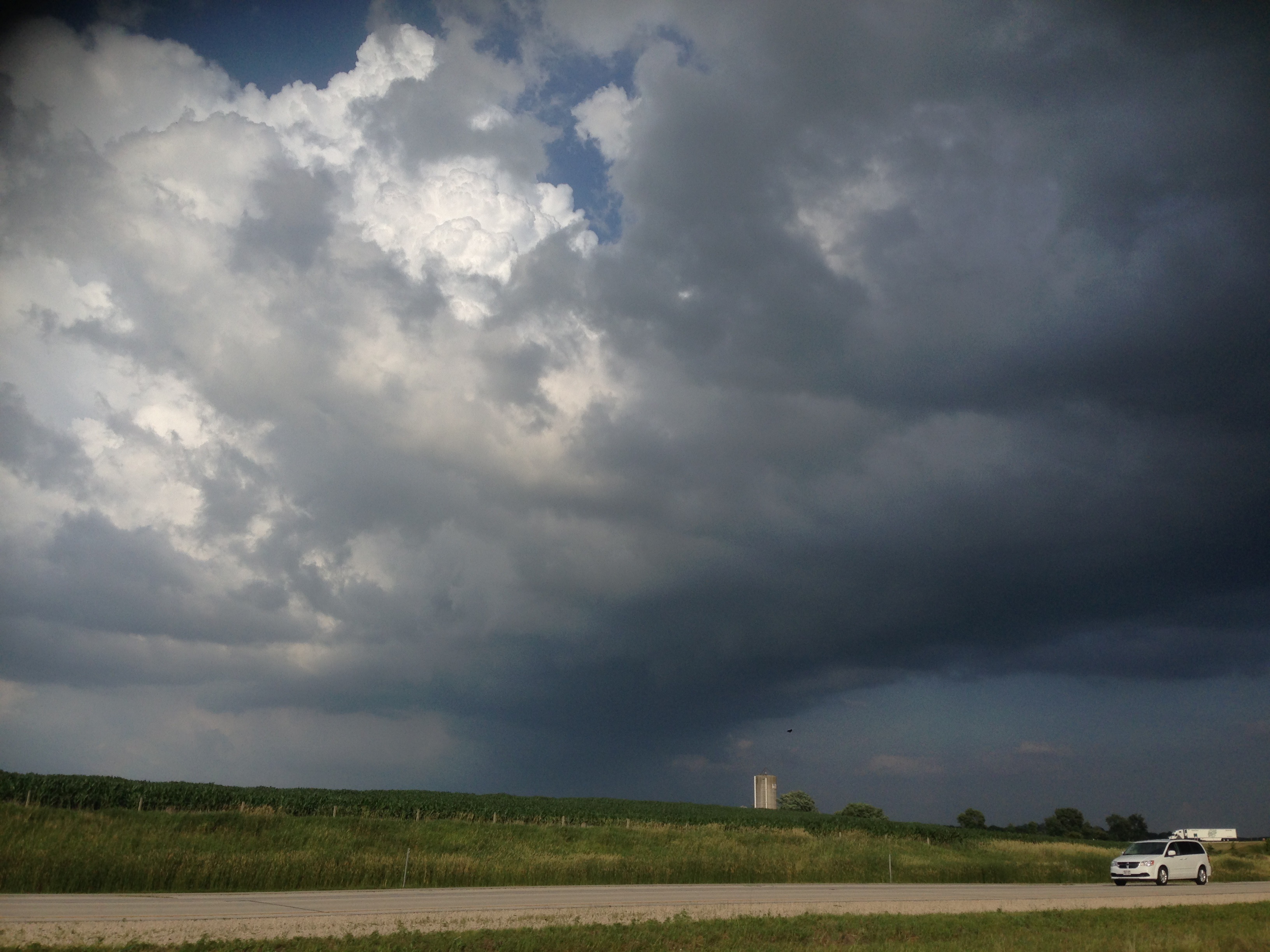
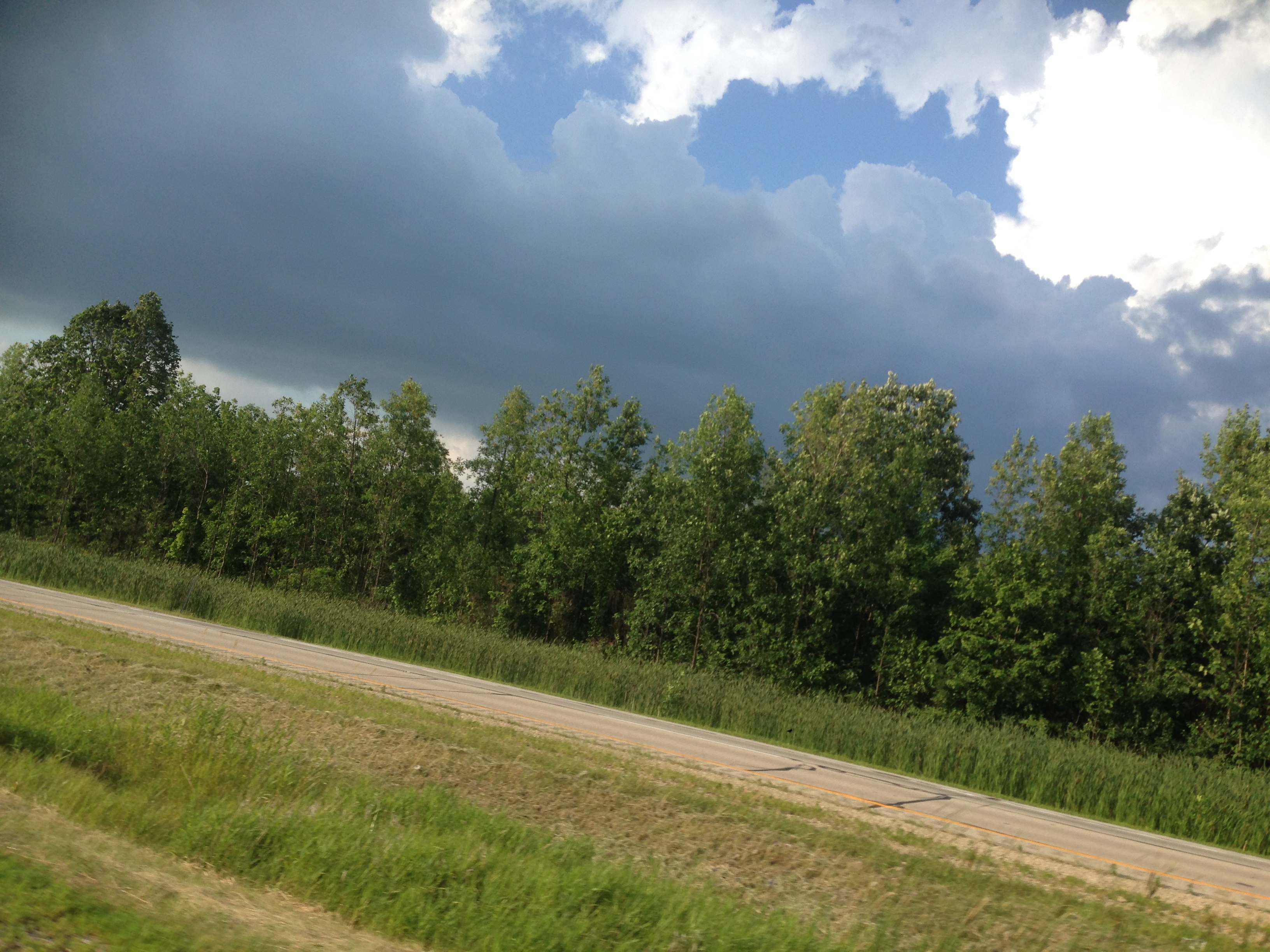
201407 Clouds, Wisconin, Interesting - 03
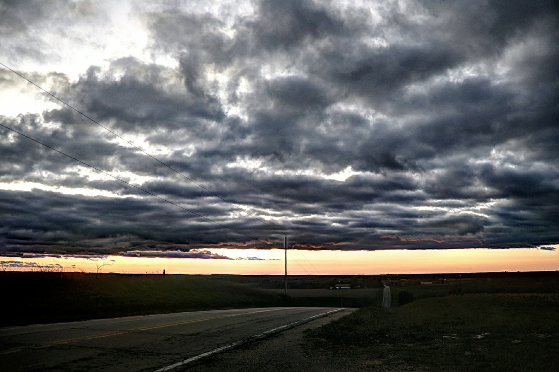
Road to Sundown
#nofilter #wisconsin #littlecedarlake #sunset

Autumn skies (Explored #1)

Wisconsin βουκολικός
Matched set
L510 EJE 656 Theresa, WI
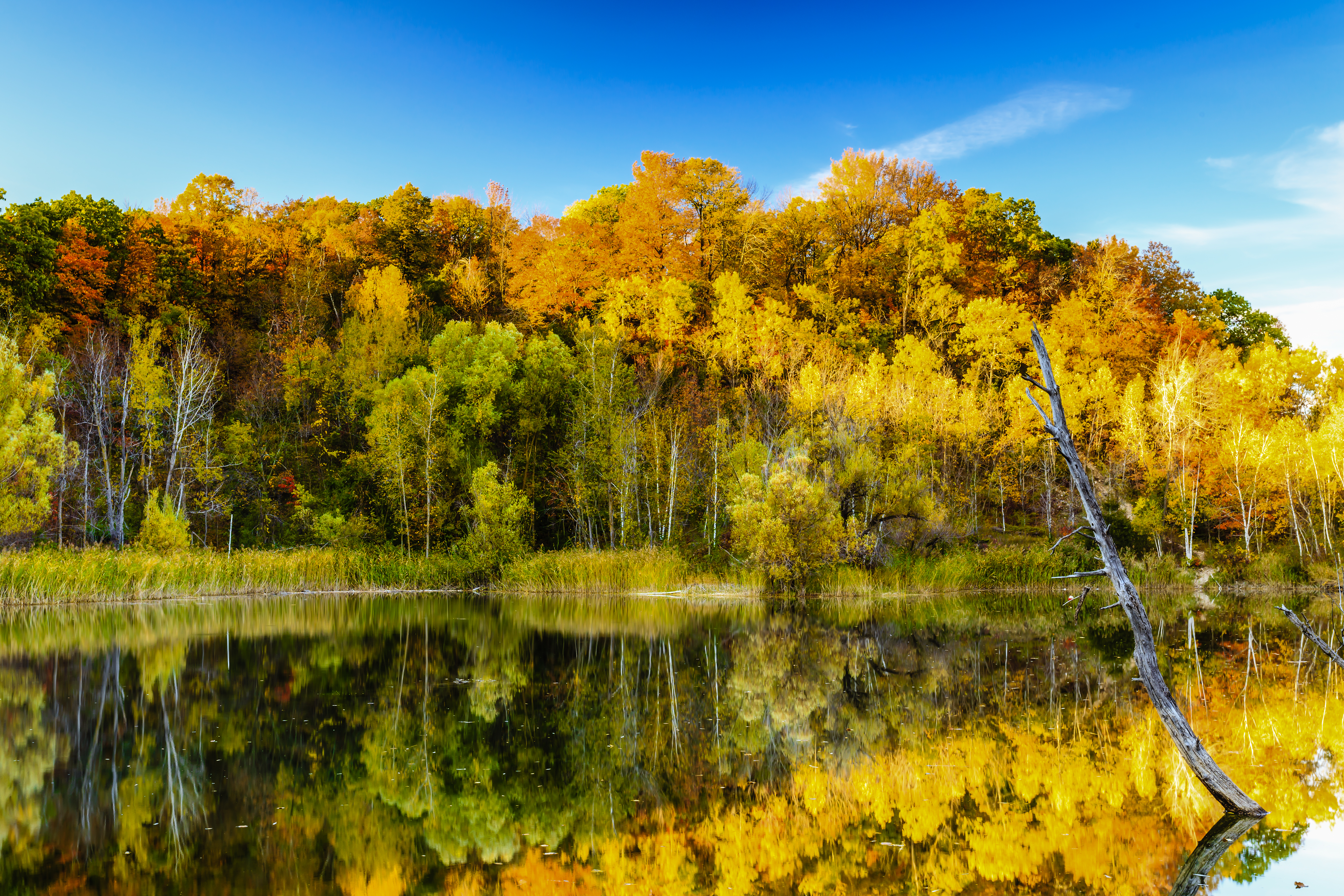
Little Cedar Lake

LCU00330.jpg

Wind Farming
Theresa Station Silo
Ridge Run Co. Park

Oi-lympics. #dawnapadrewza6

Good field lookout

Sunrise over Cedar Valley

Little Cedar Lake
clouds, wisconsin
rolling hills
20131010-IMG_4483-Edit.jpg
Topographic Map of Addison, WI, USA
Find elevation by address:

Places in Addison, WI, USA:
Places near Addison, WI, USA:
5428 Meadowview Ln
County Hwy K, Hartford, WI, USA
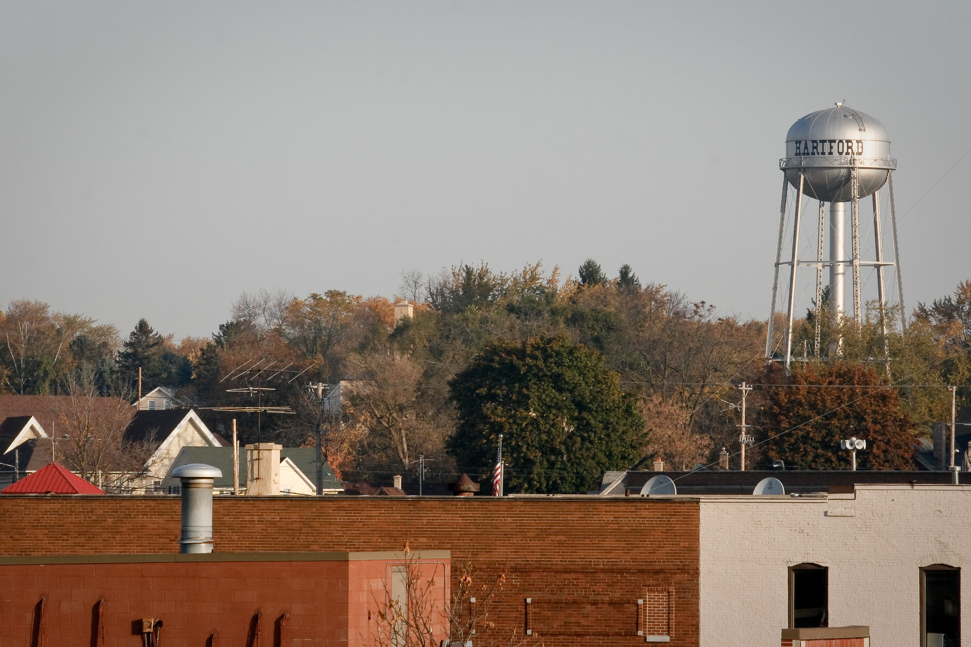
Hartford
4810 Edgeway Dr
4587 Cedar Lake Dr
Big Cedar Lake
Mckinley Road
1211 Riverbend Dr
318 Victor Dr
Washington County
Little Switzerland Ski Area
Lake Dr, Hartford, WI, USA
755 Mc Kinley Ave
Hartford
411 Grand Ave
423 Grand Ave
432 Grand Ave
675 Summit St
Rubicon
W1382 Grant Rd
Recent Searches:
- Elevation of Corso Fratelli Cairoli, 35, Macerata MC, Italy
- Elevation of Tallevast Rd, Sarasota, FL, USA
- Elevation of 4th St E, Sonoma, CA, USA
- Elevation of Black Hollow Rd, Pennsdale, PA, USA
- Elevation of Oakland Ave, Williamsport, PA, USA
- Elevation of Pedrógão Grande, Portugal
- Elevation of Klee Dr, Martinsburg, WV, USA
- Elevation of Via Roma, Pieranica CR, Italy
- Elevation of Tavkvetili Mountain, Georgia
- Elevation of Hartfords Bluff Cir, Mt Pleasant, SC, USA