Elevation of N Borman Pl, West Terre Haute, IN, USA
| Latitude | 39.6001764 |
|---|---|
| Longitude | -87.4987594 |
| Elevation | 186m / 610feet |
| Barometric Pressure | 991KPa |
Related Photos:

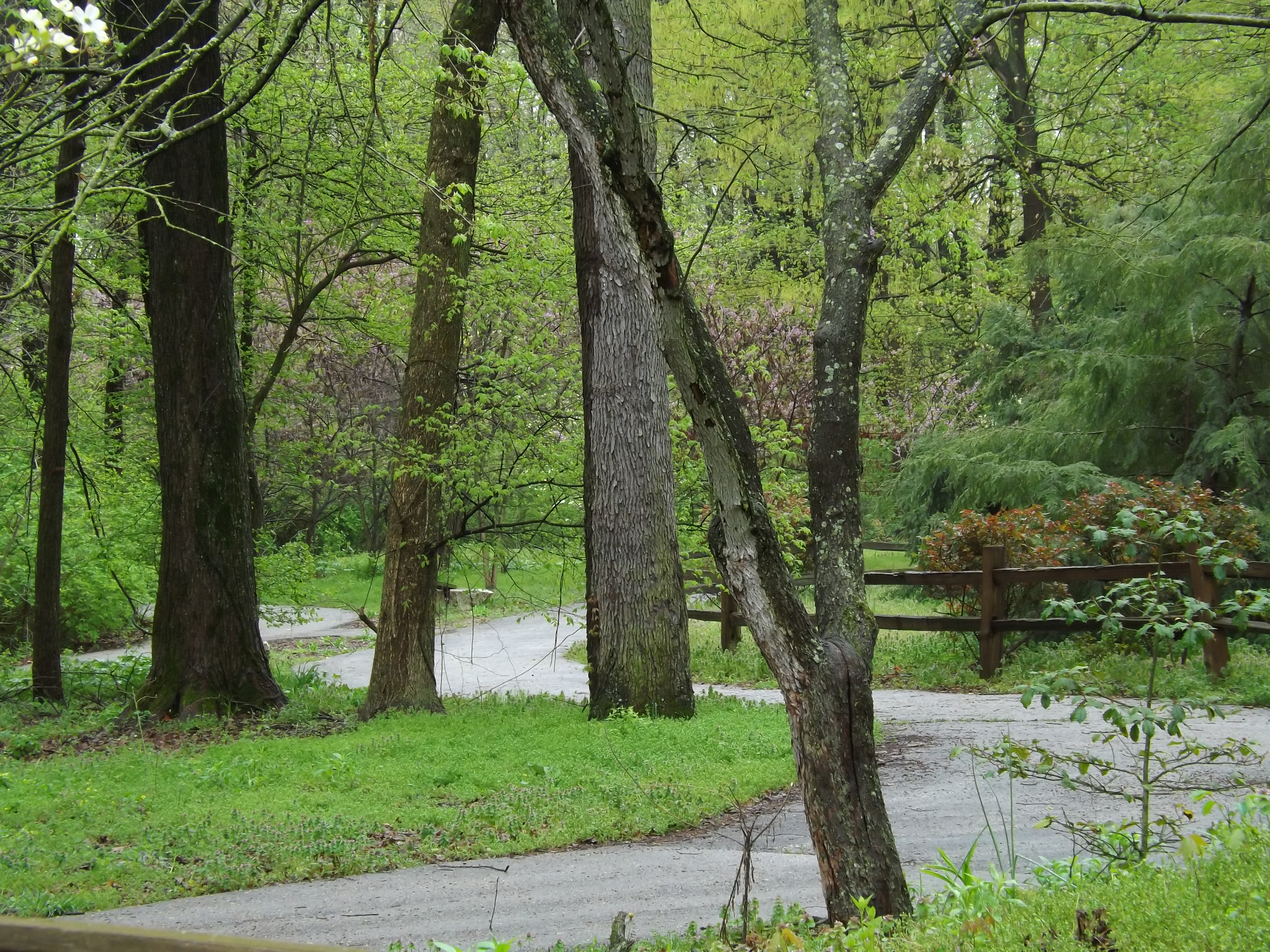
The view from ... ?
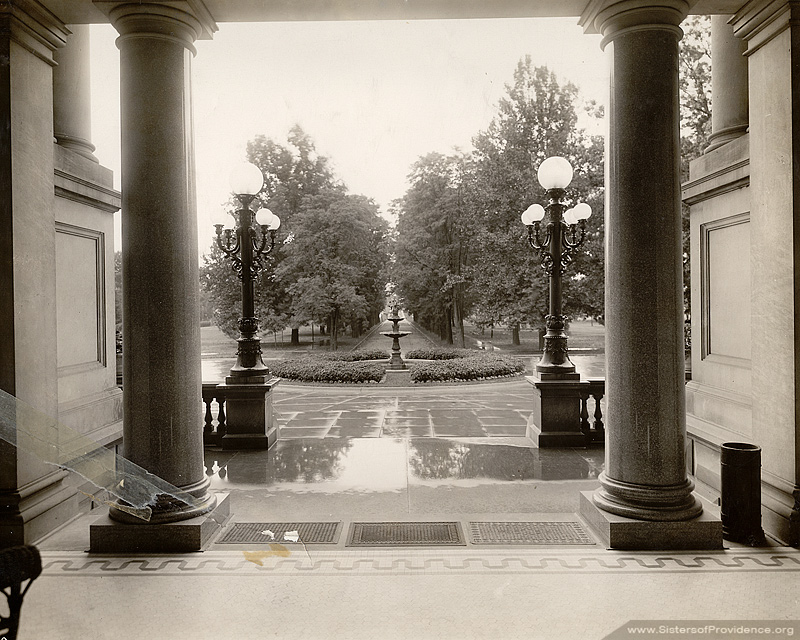
Avenue and fountain - view from Foley
An XL (lent!) Chase Part 18

Franey General Council, 1948-1953

Haley Tower, Terre Haute - B&W

1940 Henney Packard Hearse

The Rails' Rails

1940 Henney Packard Hearse

1940 Henney Packard Hearse
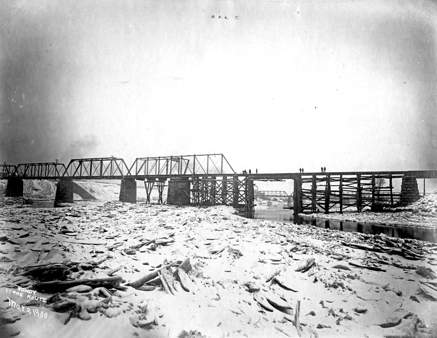
Wabash River Big 4 bridge collapse 1900
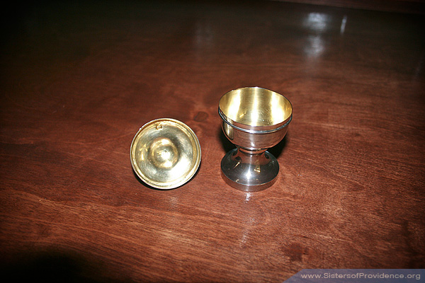
Silver ciborium inside
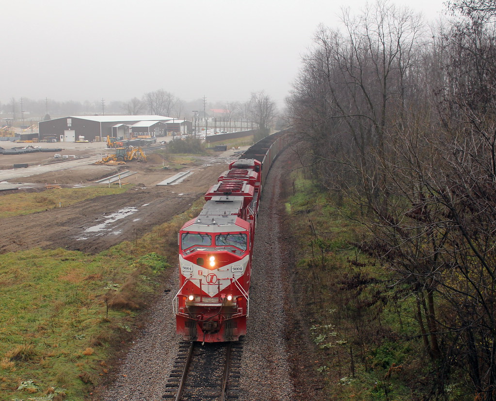
UP 4165 CSX Q131 North Terre Haute IN 09 July 2011

Pipe Dreams
The classic Haley view

1940 Henney Packard Hearse

CSX Panorama

Fall colors!
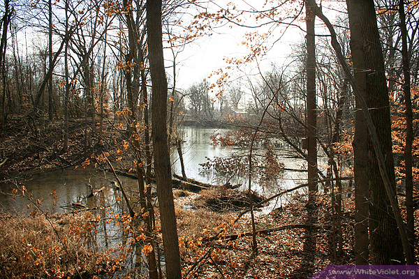
Otter Creek
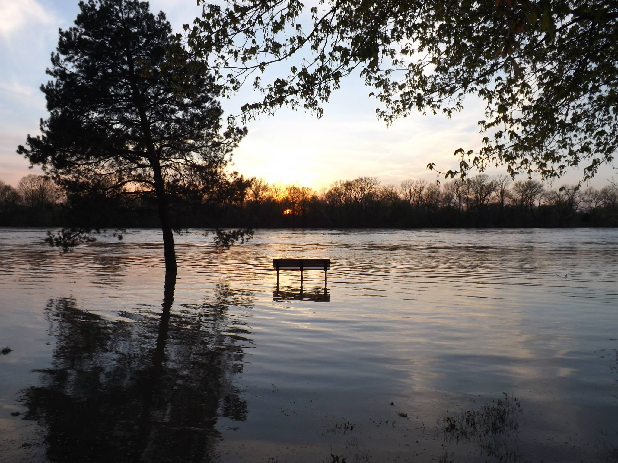
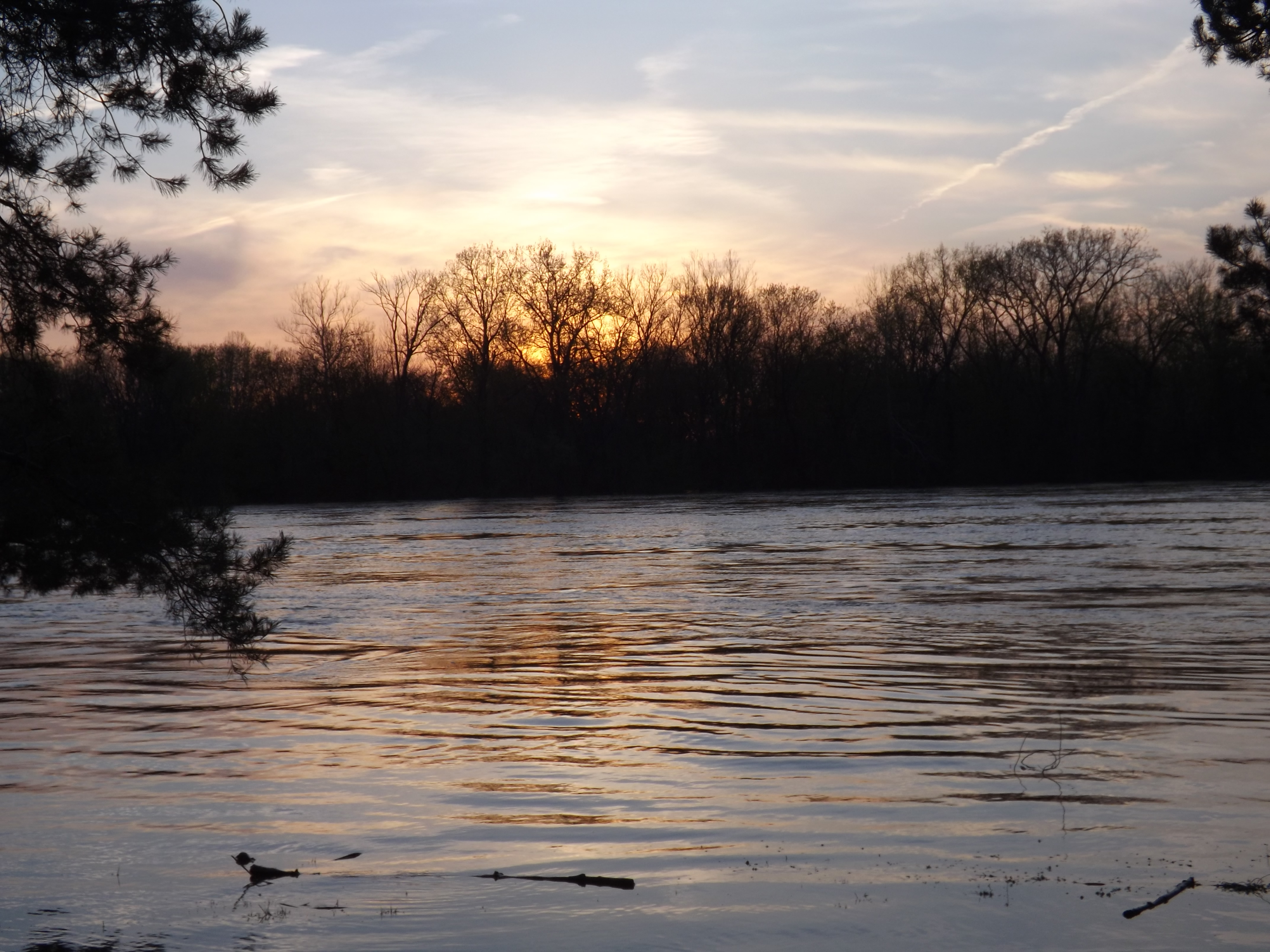
sunset on the flooded wabash river in terre haute indiana -by jamie s grimes

Upland Sandpiper by Marty Jones
jamie s grimes folder 392
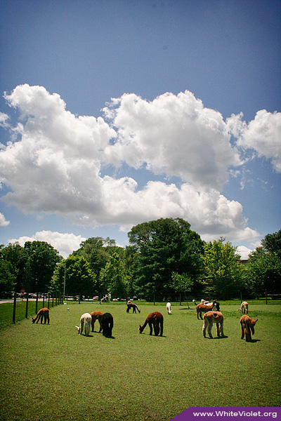
White Violet Farm Alpacas
White Violet Farm Alpacas
Flowers, sky.
St. Joseph Lake
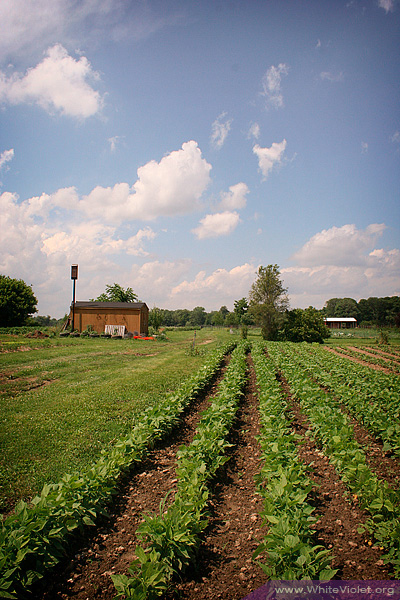
White Violet Center garden
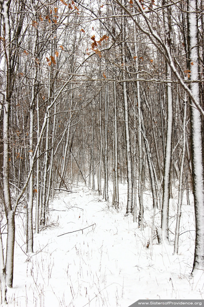
Snow March 2013
as the sun goes down on the flooded wabash river at fairbanks park in terre haute indiana -by jamie s grimes
jamie s grimes folder 333
Early autumn

Indiana Autumn Reflections
jamie s grimes folder 391

Sacred Heart Grove
White Violet Center
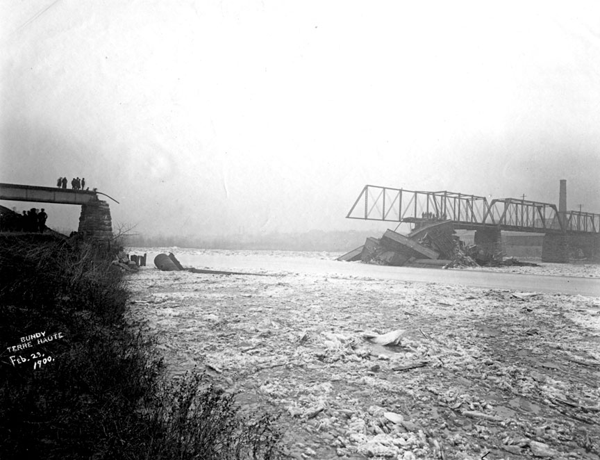
Wabash River Big 4 bridge collapse 1900
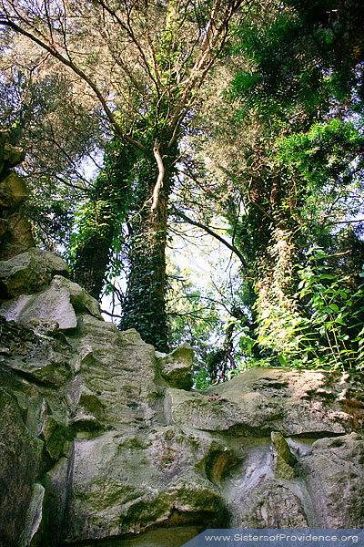
Above the Grotto

Markle Mill Dam 26
Topographic Map of N Borman Pl, West Terre Haute, IN, USA
Find elevation by address:
Places near N Borman Pl, West Terre Haute, IN, USA:
N Lenderman Pl, West Terre Haute, IN, USA
N Libertyville Pl, West Terre Haute, IN, USA
Fayette Township
Clinton Township
Clinton St, Clinton, IN, USA
5th St, Blanford, IN, USA
Blanford
Durkees Ferry Rd, West Terre Haute, IN, USA
S Rhodes Cir, Clinton, IN, USA
SW Vine St, Clinton, IN, USA
IN-71, Clinton, IN, USA
Clinton
US-41, Rosedale, IN, USA
W S, Rosedale, IN, USA
6th St, Rosedale, IN, USA
Otter Creek Township
S Summit Grove Dr, Clinton, IN, USA
E Rio Grande Ave, Terre Haute, IN, USA
3733 S 600 W
6477 Lambert Ave
Recent Searches:
- Elevation map of Central Hungary, Hungary
- Elevation map of Pest, Central Hungary, Hungary
- Elevation of Pilisszentkereszt, Pest, Central Hungary, Hungary
- Elevation of Dharamkot Tahsil, Punjab, India
- Elevation of Bhinder Khurd, Dharamkot Tahsil, Punjab, India
- Elevation of 2881, Chabot Drive, San Bruno, San Mateo County, California, 94066, USA
- Elevation of 10370, West 107th Circle, Westminster, Jefferson County, Colorado, 80021, USA
- Elevation of 611, Roman Road, Old Ford, Bow, London, England, E3 2RW, United Kingdom
- Elevation of 116, Beartown Road, Underhill, Chittenden County, Vermont, 05489, USA
- Elevation of Window Rock, Colfax County, New Mexico, 87714, USA
- Elevation of 4807, Rosecroft Street, Kempsville Gardens, Virginia Beach, Virginia, 23464, USA
- Elevation map of Matawinie, Quebec, Canada
- Elevation of Sainte-Émélie-de-l'Énergie, Matawinie, Quebec, Canada
- Elevation of Rue du Pont, Sainte-Émélie-de-l'Énergie, Matawinie, Quebec, J0K2K0, Canada
- Elevation of 8, Rue de Bécancour, Blainville, Thérèse-De Blainville, Quebec, J7B1N2, Canada
- Elevation of Wilmot Court North, 163, University Avenue West, Northdale, Waterloo, Region of Waterloo, Ontario, N2L6B6, Canada
- Elevation map of Panamá Province, Panama
- Elevation of Balboa, Panamá Province, Panama
- Elevation of San Miguel, Balboa, Panamá Province, Panama
- Elevation of Isla Gibraleón, San Miguel, Balboa, Panamá Province, Panama