Elevation of N Bend Rd, Hebron, KY, USA

Location: United States > Kentucky > Boone County > Francisville >

Longitude: -84.733212

Latitude: 39.1135075

Elevation: 241m / 791feet

Barometric Pressure: 98KPa

Elevation Map:

elevation map of N Bend Rd, Hebron, KY, USA
Satellite Map:

Satellite map of N Bend Rd, Hebron, KY, USA

Related Photos:

reflections pond indiana oldtown lawrenceburgindiana nikond700 oxbowconversancy
Oxbow Nature Conservancy, Lawrenceburg, Indiana
ohio ruins factory decay cincinnati southfairmont fencefriday pentaxk5 lunkenheimervalvefactory fencedfactory lunkenheimervalvecompany
Lunkenheimer Valve Factory
ohio baldeagle immature haliaeetusleucocephalus elizabethtown hamiltoncounty lostbridge
BALD EAGLE FISHING (5 image series)
square lofi squareformat iphoneography instagramapp uploaded:by=instagram foursquare:venue=4be947779a54a593a5d80a11
My view from Cooper's parking lot this morning...
City View (1)
panorama indiana oxbow doublecrestedcormorant phalacrocoraxauritus 500mmf4 canoneos1dmarkiii
DOUBLE-CRESTED CORMORANTS - PANORAMA

square squareformat iphoneography instagramapp xproii uploaded:by=instagram foursquare:venue=510b31d8e4b0af95690b8a71
Last week Downtown LA. This week Downtown Cincinnati & Ohio river. Dinner with a view!
christmas longexposure colors skyline cincinnati panoramic cincinnatiskyline panoramicview mtecho downtowncincinnati mtechopark bwnd110
Cincinnati Skyline
park skyline downtown kentucky cincinnati barge ohioriver covington carewtower pricehill mountecho covingtonkentucky greatamericanbuilding
Lego City
morning sunlight fog sunrise river nikon hiking kentucky cincinnati ohioriver bmc cincinnatiohio shawneelookout hamiltoncountyparks hamiltoncountyparkdistrict nikond7000 nikkor1024mm
Sunday Morning Sunrise
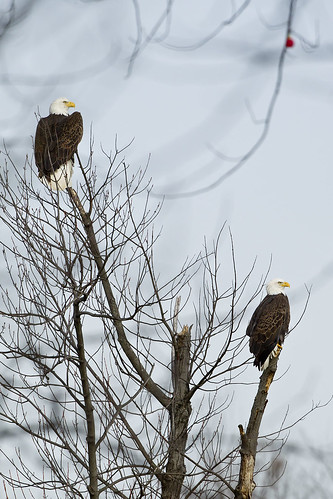
adult baldeagle indiana haliaeetusleucocephalus lawrenceburg oxbow junopond
BALD EAGLES
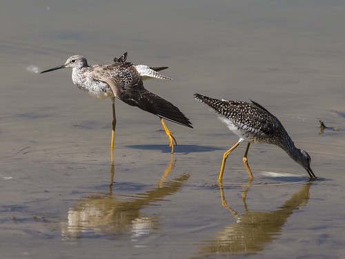
bridge ohio lost elizabethtown tringamelanoleuca greateryellowlegs
GREATER YELLOWLEGS
county school ohio urban brick abandoned decay cincinnati south hamilton central forgotten fairmount
South Fairmount, Cincinnati
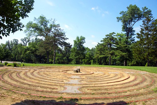
ohio raw cincinnati labyrinth motherhouse mtstjoseph sisterofcharity mountsaintjoseph mountstjoseph mtsaintjoseph
Mt.St.Joseph Labyrinth side view
square squareformat iphoneography instagramapp uploaded:by=instagram foursquare:venue=4ad5300af964a520480221e3
A more unobstructed view of the sunset.
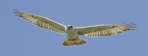
kentucky flight cvg ferruginoushawk buteoregalis boonecounty greatercincinnatiairport
FERRUGINOUS HAWK
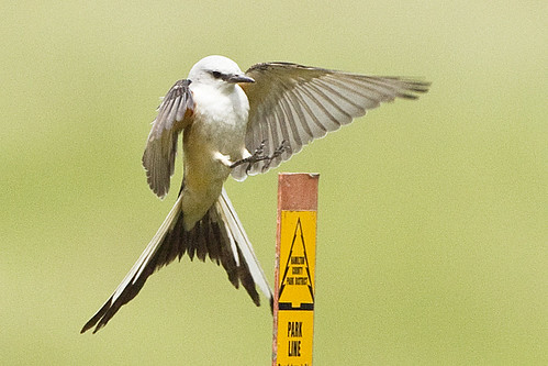
ohio harrison scissortailedflycatcher tyrannusforficatus hamiltoncountyparks kilbyroadponds
SCISSOR-TAILED FLYCATCHER
lighting ohio sky church night midwest colorful glow view cincinnati scenic hills vista cincinatti ohioriver cinci cincinnatiskyline cinti cincy queencity proctorgamble lightstream carewtower pnctower queencitysquare cincyimages greatamericantower
Cincinnati Skyline from Price Hill
valencia square squareformat iphoneography instagramapp uploaded:by=instagram
Don't be jealous this is my view right now! #Hillforest #indiana #ohioriver #ohioriverview #river #instagood #enjoyingthesmallthings
city sky skyline buildings fire view cincinnati insidelookingout
City On Fire
ohio harrison snowbunting plectrophenaxnivalis
SNOW BUNTINGS
old trees panorama sun newyork reflection history abandoned water metal creek river circle boat rust ship mud yacht 5 kentucky cincinnati pano madonna ghost navy bank indiana vessel historic line shipwreck bow captain delaware hull wilmington celt usnavy muddy hdr highdynamicrange musicvideo worldwar2 worldwar1 tourboat thomasedison 1902 sightseer tributary papadontpreach robertmiller jacobmartin usssachem circlelinev ussphenakiteohio
Up the Creek
app handyphoto hdr beautiful blue jamiesmed green grass beauty light 2009 iphoneedit pretty tree skies peaceful sun sunrise snapseed trees sky sony geotagged geotag facebook alpha dslr hamiltoncounty cincinnati a200 ohio midwest autumn fall clouds
IMG_8495.JPG
square squareformat iphoneography instagramapp uploaded:by=instagram foursquare:venue=523470a011d2a776f64a990b
The sky.
DSC_3557 - Version 3
2014 yellow iphoneedit app snapseed teamcanon dslr handyphoto sky hdr clouds sunrise sun snow t1i rebel orange panorama pano trees tree geotagged geotag skies autostitch light snowdaze weather landscape cincinnati jamiesmed ohio midwest autumn fall canon eos 500d photography
IMG_3665.JPG
2015 app iphoneedit snapseed handyphoto jamiesmed iphone5s iphoneography mobileography light sunset sun sky hdr mextures silhouette trees tree phoneography geotagged geotag skies facebook iphonephoto landscape hamiltoncounty cincinnati ohio midwest iphoneonly photography clouds
IMG_8538.JPG
2010 app snapseed jamiesmed iphoneedit sky blue skies hdr fisheye sunset handyphoto geotagged geotag trees dslr prime lens fixed sun house home focus facebook wide angle landscape sony hamiltoncounty cincinnati a200 alpha ohio midwest february photography clouds
IMG_9762.JPG
app iphoneedit beautiful blue panorama iphone5s iphoneography vignette phoneography yellow mobileography pano 2015 mextures peaceful light beauty orange nature handyphoto skies tree shadows skyline glow autostitch snapseed trees silhouette sky winter sunrise shadow geotagged geotag sun 2008 facebook iphonephoto landscape hamiltoncounty jamiesmed cincinnati ohio iphoneonly photography clouds
IMG_7451.JPG
app handyphoto beautiful blue 500d jamiesmed 2014 glow dslr beauty nature iphoneedit skies teamcanon snow vignette snapseed trees light t1i sky hdr tree geotagged geotag facebook weather landscape cincinnati ohio midwest autumn fall canon eos rebel photography
IMG_3251.JPG
app 2015 beautiful hdr glow beauty handyphoto golden jamiesmed night home house gold mobileography orange yellow purple iphone5s iphoneedit nature pretty skies peaceful phoneography shadows skyline iphoneography vignette sunset snapseed mextures silhouette sky shadow geotagged geotag prohdr facebook iphonephoto landscape hamiltoncounty cincinnati ohio midwest iphoneonly photography clouds
IMG_9002.JPG
2015 fisheye iphoneedit jamiesmed app snapseed canon eos dslr 500d t1i rebel teamcanon prime lens fixed handyphoto hdr sky skies sunset sun silhouette night moon light shadows shadow trees manual focus geotagged geotag facebook wide angle rokinon landscape hamiltoncounty cincinnati ohio midwest photography clouds
IMG_2749.JPG
2009 mextures app jamiesmed iphoneedit dslr hdr silhouette snapseed alpha sky yellow handyphoto sunset sun orange light trees tree geotagged geotag skies facebook landscape sony cincinnati a200 may ohio midwest photography clouds
IMG_2397.JPG
beautiful beauty star stars 2013 sky 500d app iphoneedit nature handyphoto skies tree eos canon lights glow peaceful rokinon skyline fisheye dslr house teamcanon emotion jamiesmed trees snapseed light silhouette t1i prime rebel shadows shadow lens geotagged geotag fixed picfx manual focus facebook wide landscape hamiltoncounty cincinnati angle ohio midwest photography
IMG_8609.JPG
indiana lawrenceburg dearborncounty junopondoxbow
JUNO POND, OXBOW
jamiesmed iphoneedit app snapseed canon dslr handyphoto hdr snow trees tree geotagged geotag snowdaze software facebook weather landscape cincinnati 2014 ohio midwest autumn fall eos 500d t1i rebel photography
IMG_3324.JPG
beautiful beauty 2012 blue 500d app rokinon fisheye dslr iphoneedit jamiesmed sky hdr snapseed handyphoto t1i teamcanon rebel lens skies prime geotagged geotag manual facebook wide angle landscape hamiltoncounty cincinnati fixed focus may ohio midwest canon eos photography clouds
IMG_7565.JPG
canongang app 2015 canon beautiful 500d beauty dslr jamiesmed snapseed iphoneedit sunrise silhouette eos t1i rebel sky hdr shadows shadow handyphoto geotagged geotag trees teamcanon skies autostitch facebook landscape hamiltoncounty cincinnati ohio midwest february photography clouds
IMG_9889.JPG
2014 yellow green app jamiesmed iphoneedit snapseed sony alpha summer handyphoto sky sunset sun orange light trees tree geotagged geotag skies cincinnati july a200 dslr vsco ohio midwest vscocam clouds
IMG_4099.JPG
iphoneedit nature handyphoto skies shadow 2009 shadows app beautiful glow peaceful sun vignette dslr jamiesmed orange trees snapseed silhouette mextures light gold sky yellow beauty explored explore autostitch sunset tree geotagged geotag facebook sony a200 landscape alpha cincinnati may ohio midwest photography clouds
Explored (11.09.2014)
2010 app snapseed iphoneedit silhouette sky blue skies shadows shadow sunset handyphoto geotagged geotag trees sun facebook sony a200 landscape hamiltoncounty cincinnati dslr alpha jamiesmed ohio midwest october autumn fall photography clouds
IMG_9754.JPG
square squareformat mayfair iphoneography instagramapp uploaded:by=instagram foursquare:venue=4dc105ded16455f8321f5616
Moon? Soon.