Elevation of Francisville, KY, USA
Location: United States > Kentucky > Boone County >
Longitude: -84.7263321
Latitude: 39.1029539
Elevation: 241m / 791feet
Barometric Pressure: 0KPa
Related Photos:
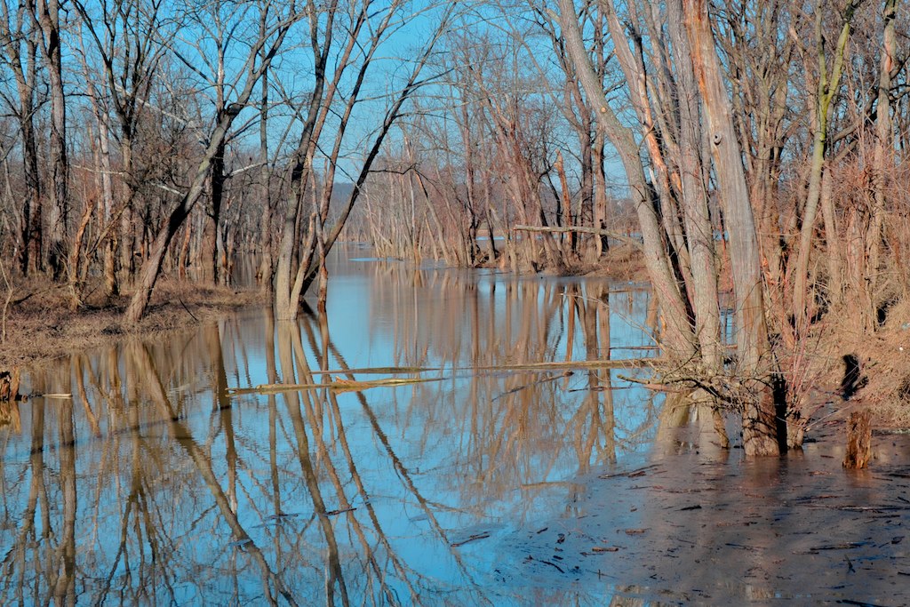
Oxbow Nature Conservancy, Lawrenceburg, Indiana
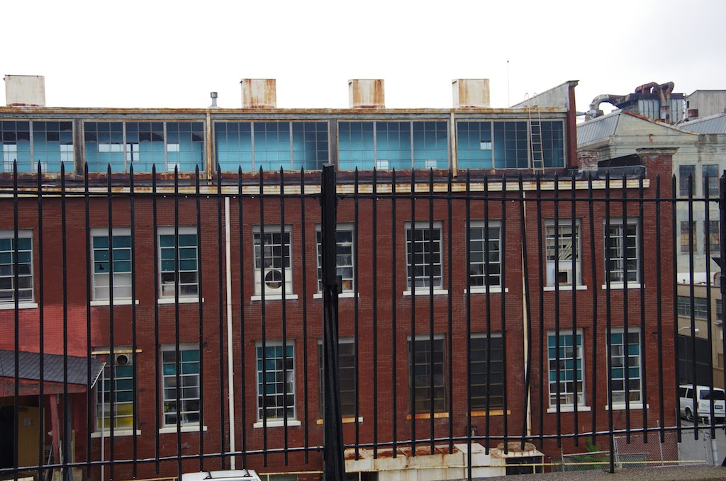
Lunkenheimer Valve Factory

BALD EAGLE FISHING (5 image series)

My view from Cooper's parking lot this morning...

City View (1)
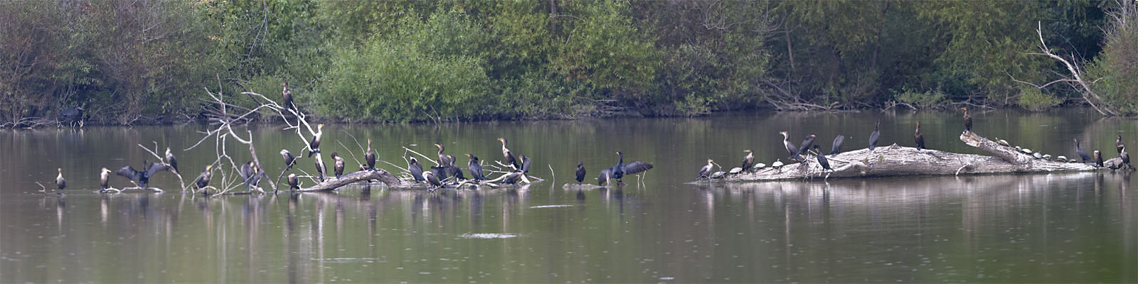
DOUBLE-CRESTED CORMORANTS - PANORAMA

Last week Downtown LA. This week Downtown Cincinnati & Ohio river. Dinner with a view!

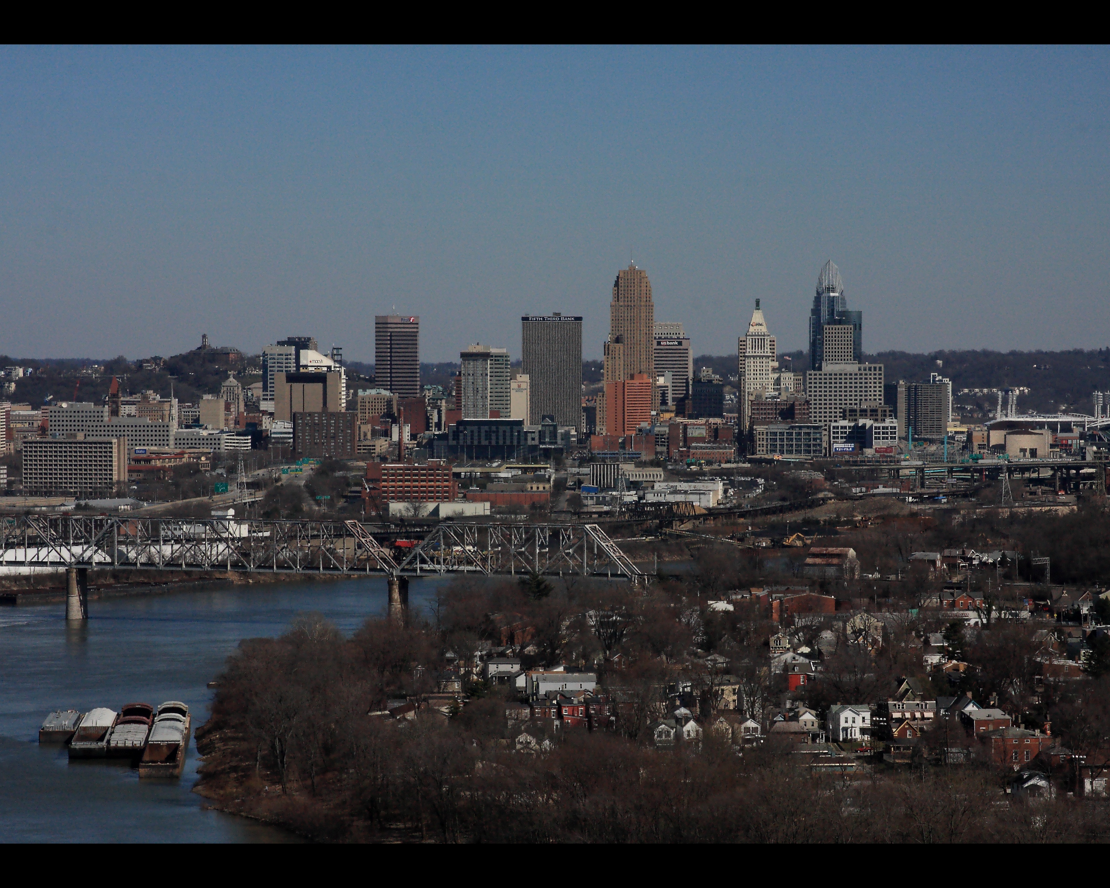
Cincinnati Skyline
Lego City

Sunday Morning Sunrise

BALD EAGLES

GREATER YELLOWLEGS
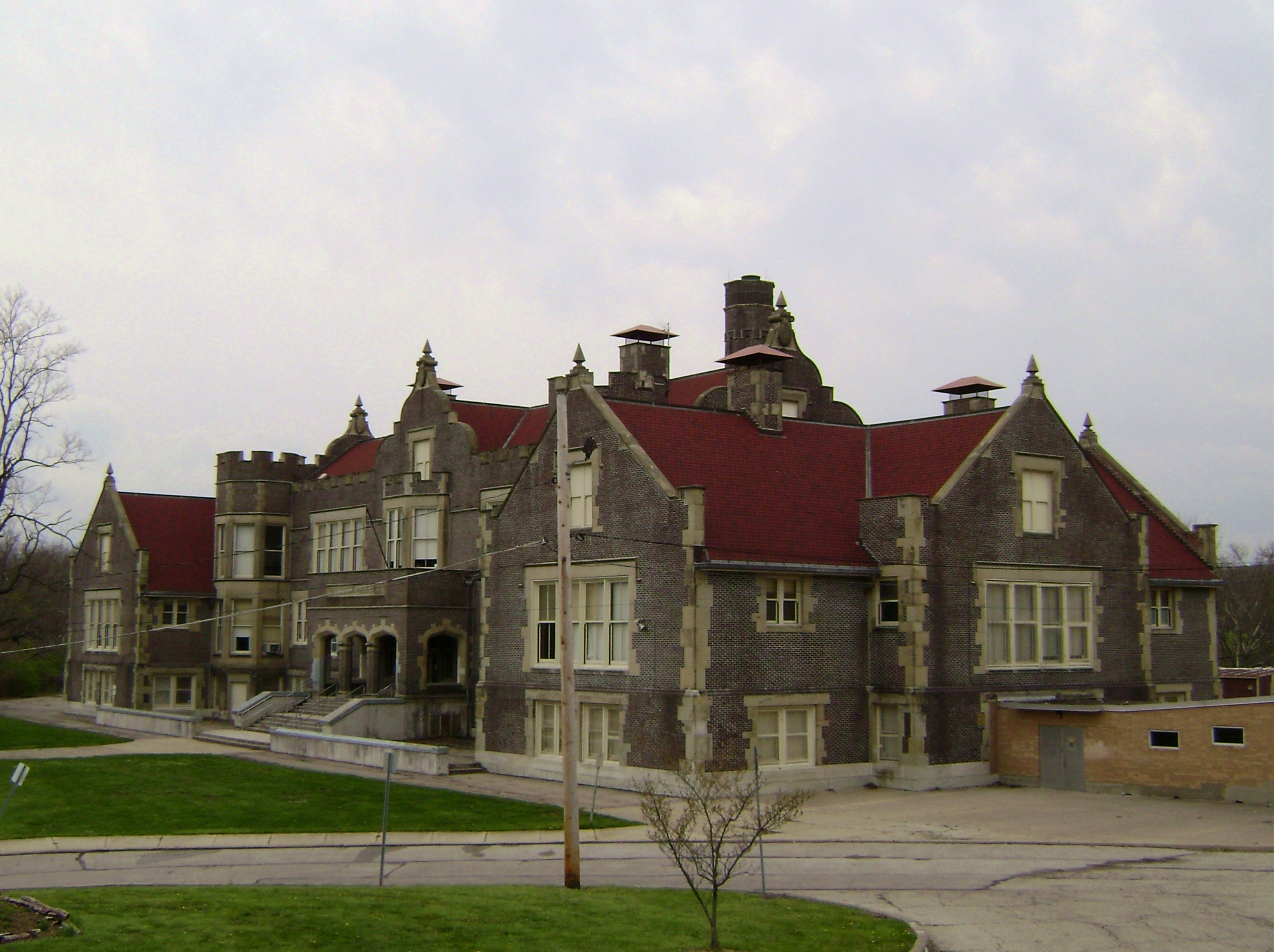
South Fairmount, Cincinnati
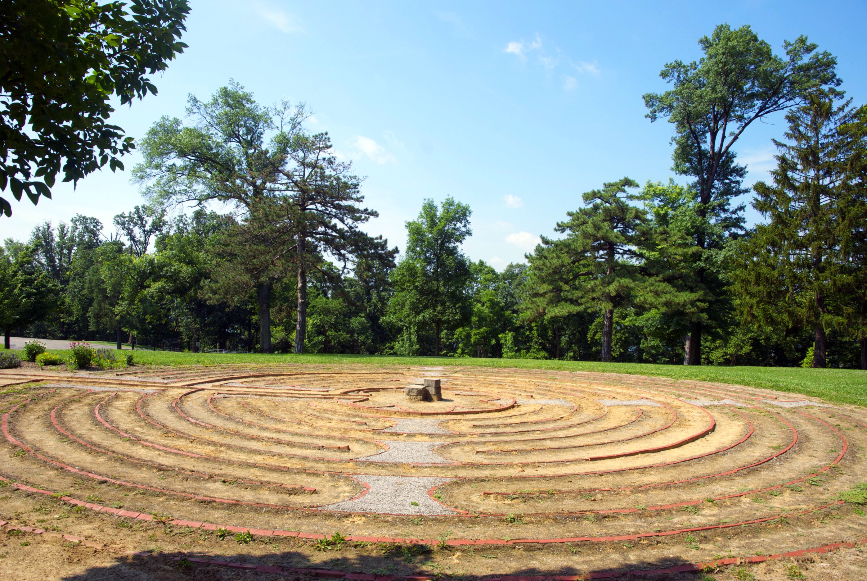
Mt.St.Joseph Labyrinth side view

A more unobstructed view of the sunset.
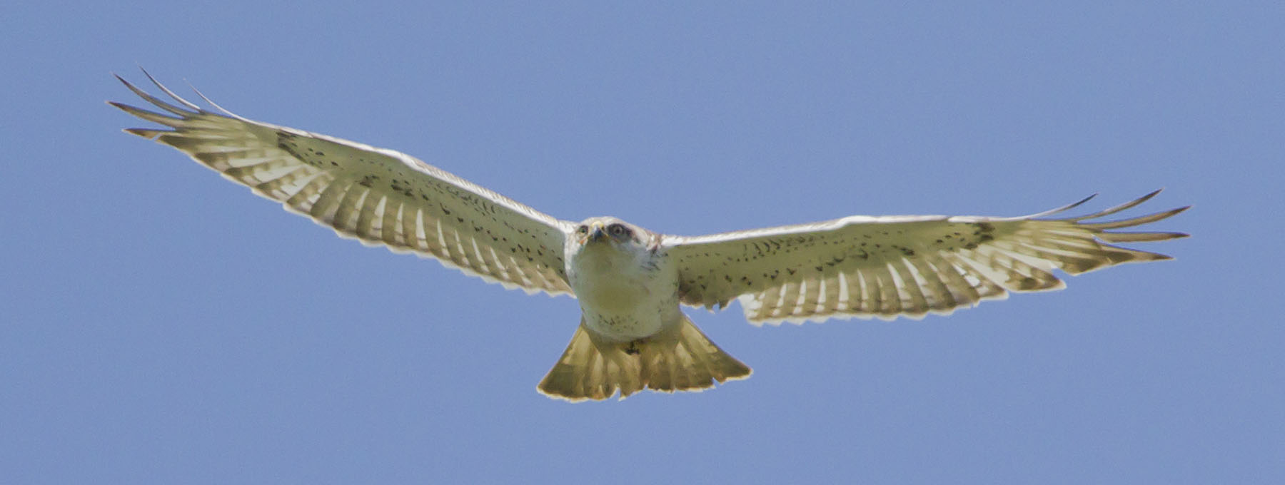
FERRUGINOUS HAWK
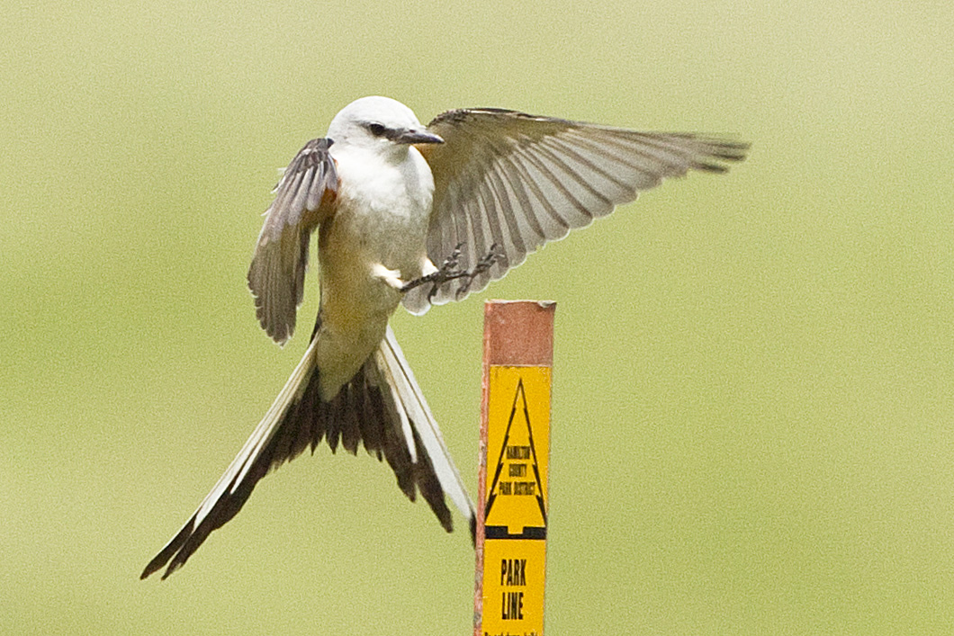
SCISSOR-TAILED FLYCATCHER

Cincinnati Skyline from Price Hill

Don't be jealous this is my view right now! #Hillforest #indiana #ohioriver #ohioriverview #river #instagood #enjoyingthesmallthings

City On Fire

SNOW BUNTINGS
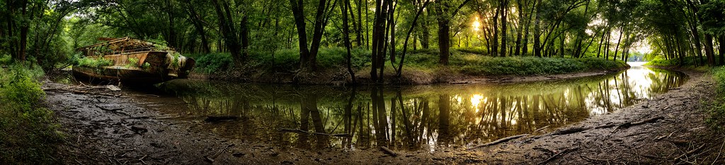
Up the Creek

IMG_8495.JPG

The sky.

DSC_3557 - Version 3

IMG_3665.JPG

IMG_8538.JPG

IMG_9762.JPG

IMG_7451.JPG

IMG_3251.JPG

IMG_9002.JPG

IMG_2749.JPG

IMG_2397.JPG

IMG_8609.JPG

JUNO POND, OXBOW

IMG_3324.JPG

IMG_7565.JPG

IMG_9889.JPG

IMG_4099.JPG

Explored (11.09.2014)

IMG_9754.JPG

Moon? Soon.
Topographic Map of Francisville, KY, USA
Find elevation by address:

Places in Francisville, KY, USA:
Places near Francisville, KY, USA:
2050 Glenview Dr
Taylorsport
2112 W Horizon Dr
6679 Parkland Ave
Addyston
Twain Ave, Cincinnati, OH, USA
Sayler Park
Three Rivers Pkwy, Addyston, OH, USA
6725 Hillside Ave
7398 Southpointe Dr
2200 Berwood Ln
Hebron
2716 Berwood Ln
Rapid Run Middle School
Miami Township
Burlington
Cincinnati/northern Kentucky International Airport
KY-8, Hebron, KY, USA
Lincoln Road
5578 Limaburg Rd
Recent Searches:
- Elevation of 4655, Krischke Road, Schulenburg, Fayette County, Texas, 78956, USA
- Elevation of Carnegie Avenue, Downtown Cleveland, Cleveland, Cuyahoga County, Ohio, 44115, USA
- Elevation of Walhonding, Coshocton County, Ohio, USA
- Elevation of Clifton Down, Clifton, Bristol, City of Bristol, England, BS8 3HU, United Kingdom
- Elevation map of Auvergne-Rhône-Alpes, France
- Elevation map of Upper Savoy, Auvergne-Rhône-Alpes, France
- Elevation of Chamonix-Mont-Blanc, Upper Savoy, Auvergne-Rhône-Alpes, France
- Elevation of 908, Northwood Drive, Bridge Field, Chesapeake, Virginia, 23322, USA
- Elevation map of Nagano Prefecture, Japan
- Elevation of 587, Bascule Drive, Oakdale, Stanislaus County, California, 95361, USA
- Elevation of Stadion Wankdorf, Sempachstrasse, Breitfeld, Bern, Bern-Mittelland administrative district, Bern, 3014, Switzerland
- Elevation of Z024, 76, Emil-von-Behring-Straße, Marbach, Marburg, Landkreis Marburg-Biedenkopf, Hesse, 35041, Germany
- Elevation of Gaskill Road, Hunts Cross, Liverpool, England, L24 9PH, United Kingdom
- Elevation of Speke, Liverpool, England, L24 9HD, United Kingdom
- Elevation of Seqirus, 475, Green Oaks Parkway, Holly Springs, Wake County, North Carolina, 27540, USA
- Elevation of Pasing, Munich, Bavaria, 81241, Germany
- Elevation of 24, Auburn Bay Crescent SE, Auburn Bay, Calgary, Alberta, T3M 0A6, Canada
- Elevation of Denver, 2314, Arapahoe Street, Five Points, Denver, Colorado, 80205, USA
- Elevation of Community of the Beatitudes, 2924, West 43rd Avenue, Sunnyside, Denver, Colorado, 80211, USA
- Elevation map of Litang County, Sichuan, China