Elevation of Myrtle Beach Hardee Airpark, Mooney Ct, Loris, SC, USA
Location: United States > South Carolina > Horry County > Loris >
Longitude: -78.828577
Latitude: 33.9394704
Elevation: 9m / 30feet
Barometric Pressure: 101KPa
Elevation Map:
Satellite Map:
Related Photos:

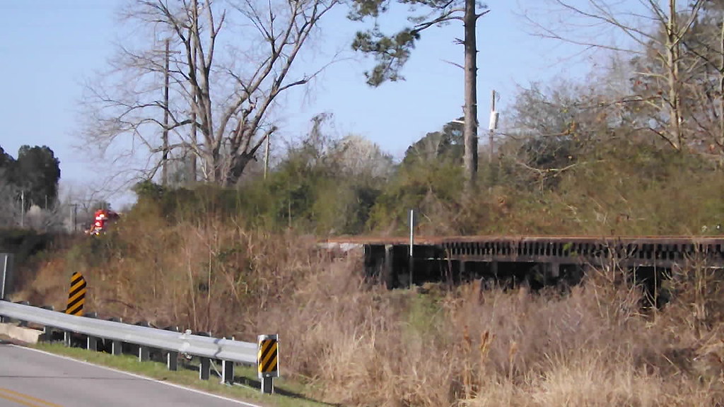
rusty pole

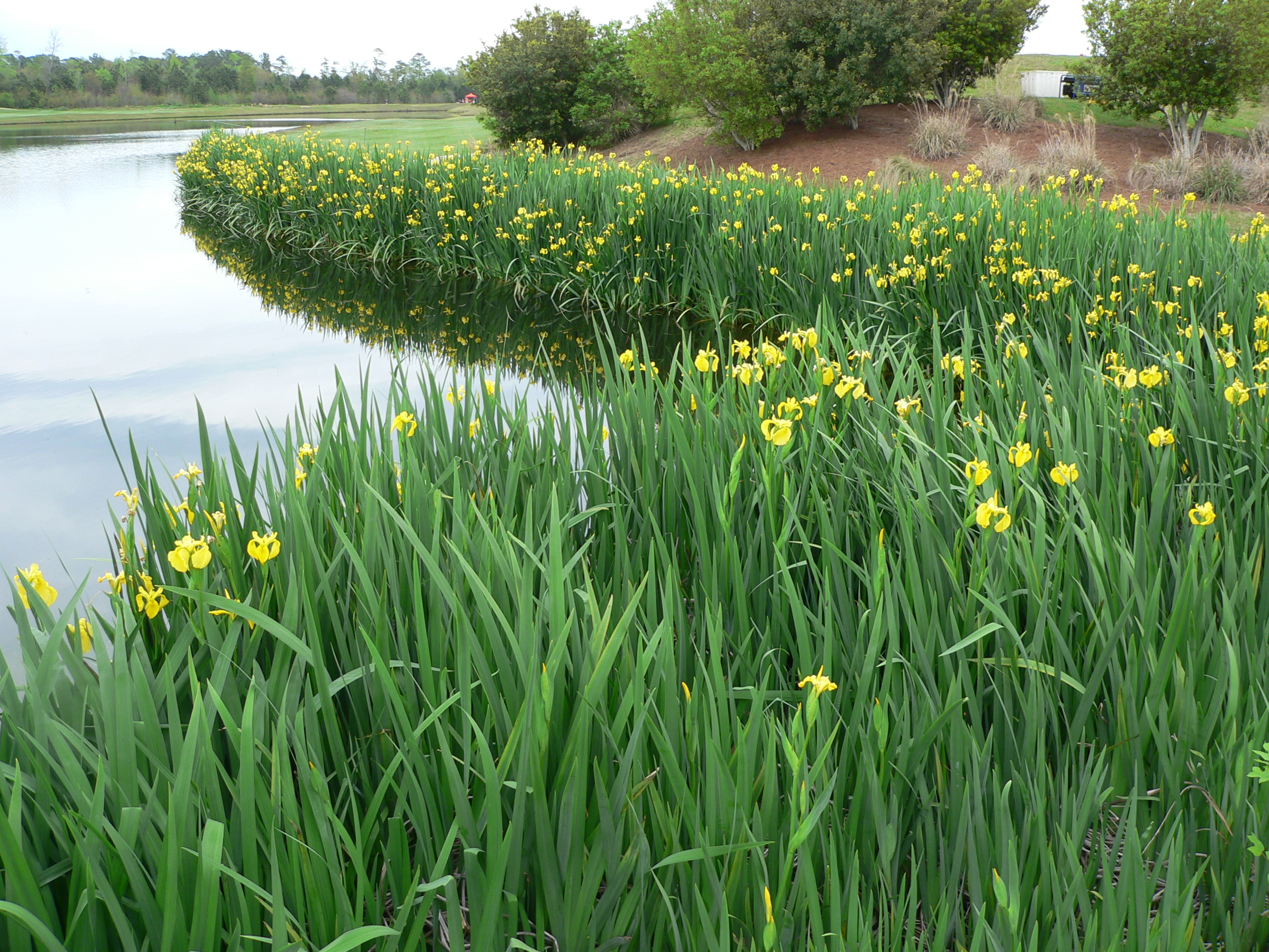
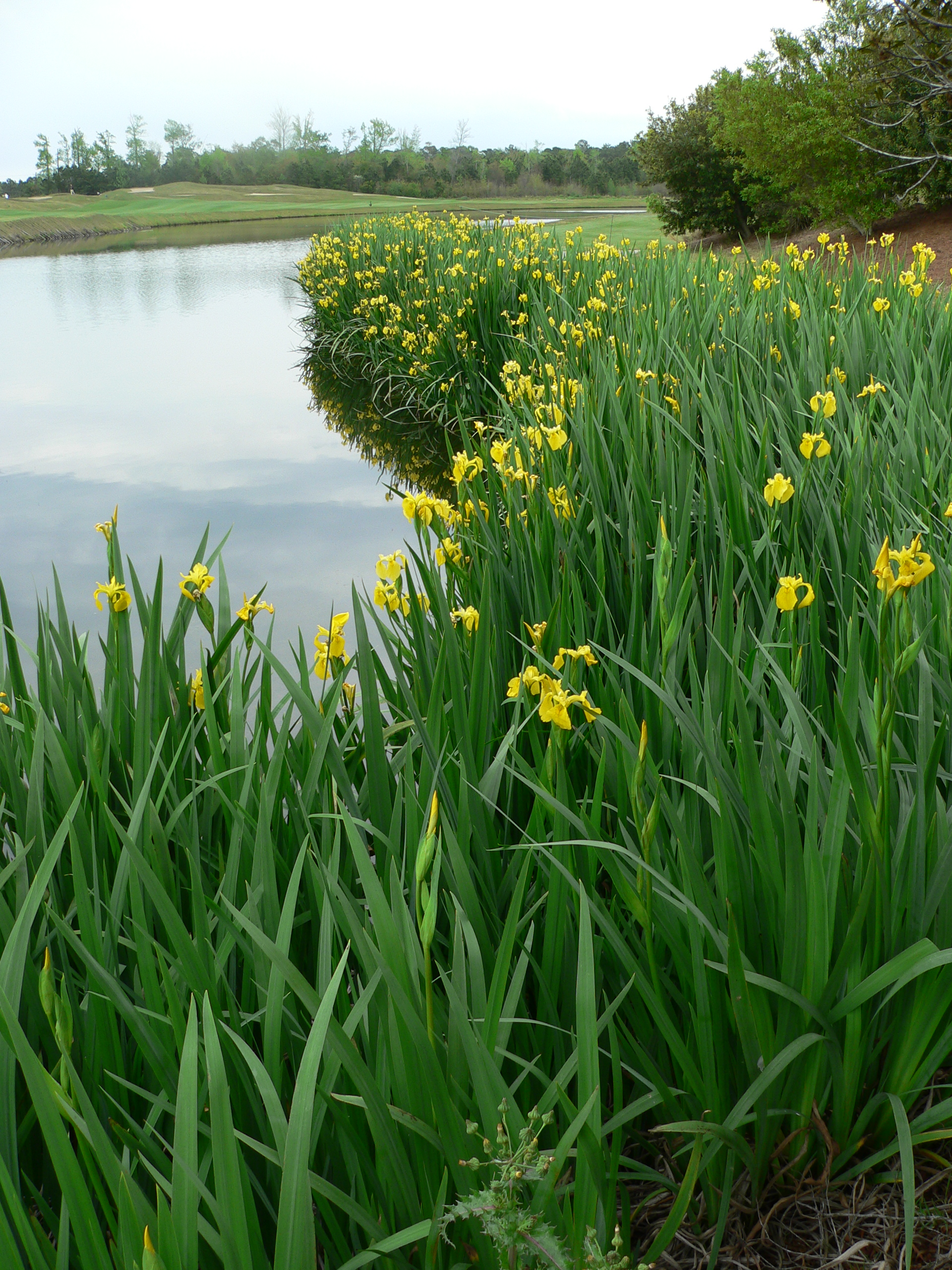
LK_20110415_0008-sm-2
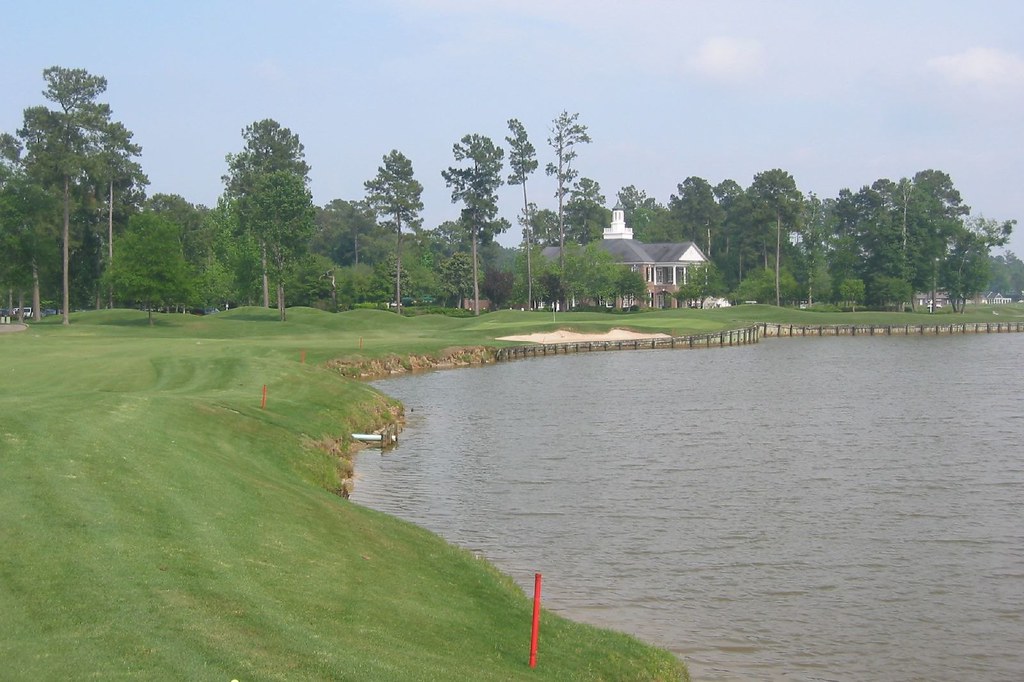
Long Bay Club #18
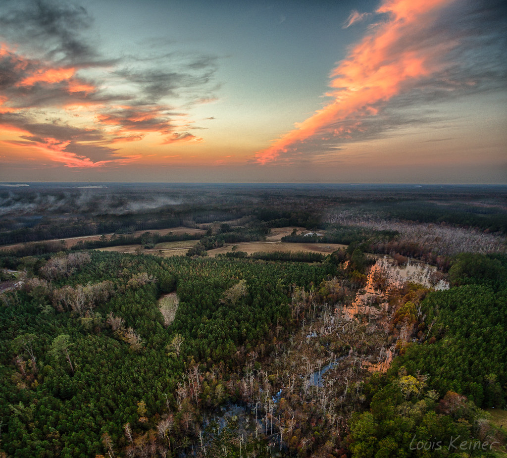
LK_20161115_PANHDR5_HDR-sm
Hootie and the Blowfish MAM 2008
Hootie and the Blowfish MAM 2008

HW 2017 - Collector # 295-365 - HW Art Cars 1-10 - Volkswagen T2 Pickup
Video of RJ Corman rolling into Loris
First catch
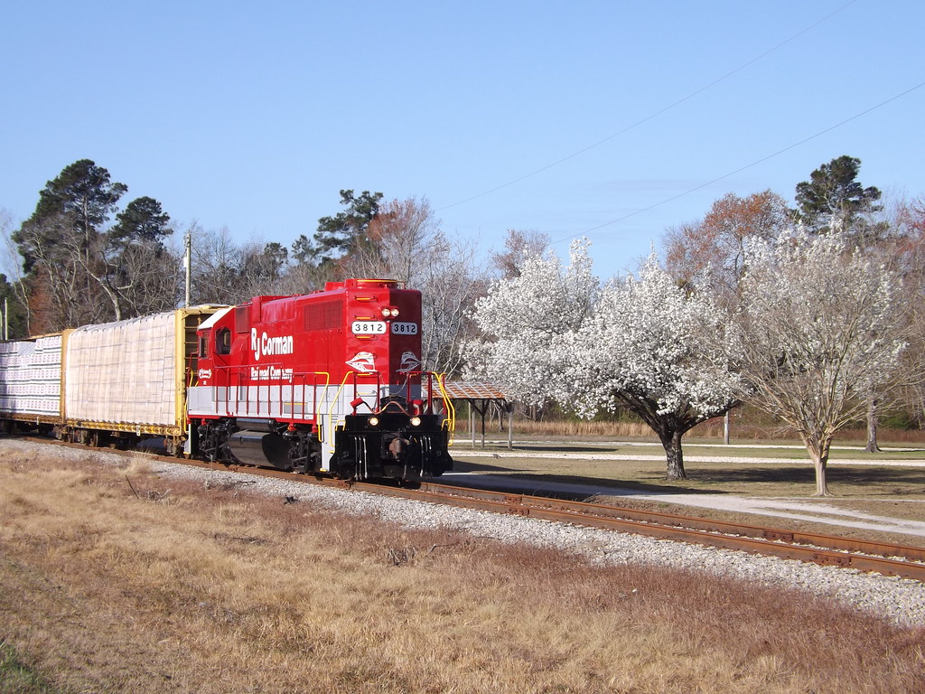
Bradford Pears were out
Topographic Map of Myrtle Beach Hardee Airpark, Mooney Ct, Loris, SC, USA
Find elevation by address:

Places near Myrtle Beach Hardee Airpark, Mooney Ct, Loris, SC, USA:
3391 Sc-348
2865 Sc-348
Mt Vernon Grocery
3619 W Bear Grass Rd
3012 Possum Hollar Rd
1336 Circle Bay Dr
Longs, SC, USA
109 Dale Glen Ln
3797 Sc-66
Cherry Hill Road
Freemont Road
Old Loris Longs Road
Old Todd Ferry Road
Daisy Road
3336 Old Savannah Ln
221 Oak Crest Cir
2225 Hwy 9 E
Dempsey Drive
1518 Hwy 139
1528 Hwy 139
Recent Searches:
- Elevation of Corso Fratelli Cairoli, 35, Macerata MC, Italy
- Elevation of Tallevast Rd, Sarasota, FL, USA
- Elevation of 4th St E, Sonoma, CA, USA
- Elevation of Black Hollow Rd, Pennsdale, PA, USA
- Elevation of Oakland Ave, Williamsport, PA, USA
- Elevation of Pedrógão Grande, Portugal
- Elevation of Klee Dr, Martinsburg, WV, USA
- Elevation of Via Roma, Pieranica CR, Italy
- Elevation of Tavkvetili Mountain, Georgia
- Elevation of Hartfords Bluff Cir, Mt Pleasant, SC, USA