Elevation of Dale Glen Ln, Loris, SC, USA
Location: United States > South Carolina > Horry County > Loris >
Longitude: -78.832570
Latitude: 34.0043804
Elevation: 21m / 69feet
Barometric Pressure: 101KPa
Elevation Map:
Satellite Map:
Related Photos:

blue iris
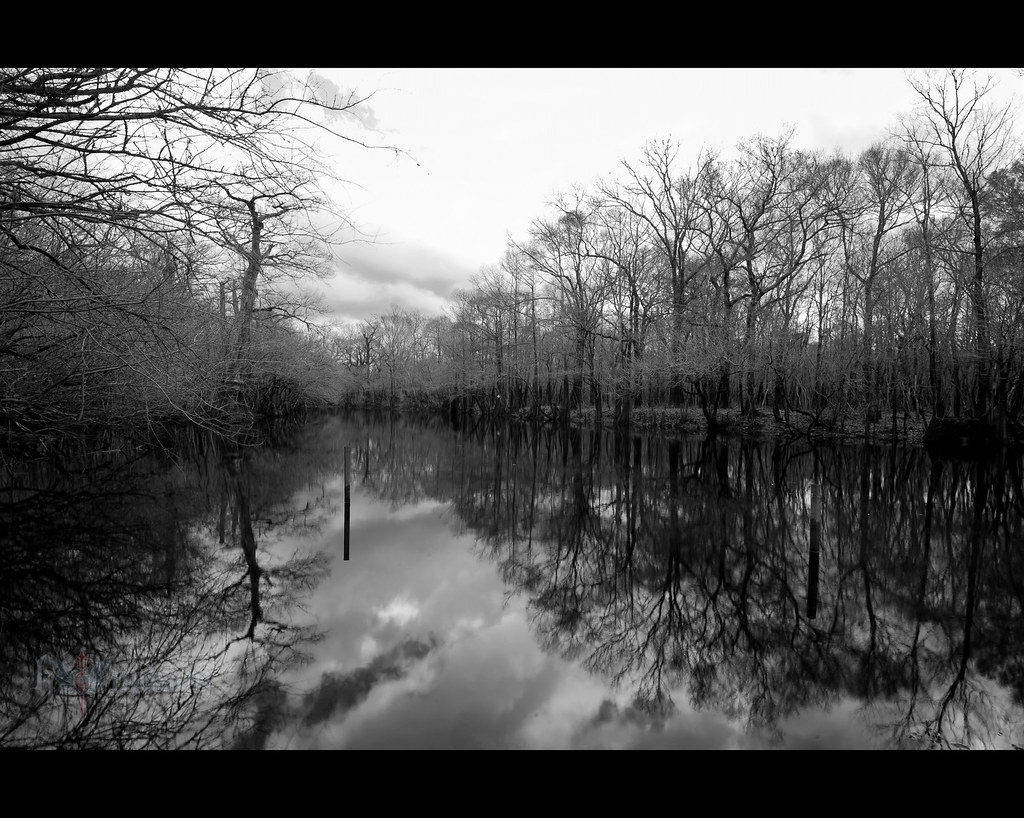
winter stillness
duck!! run!!

rusty pole
It Lies Beneath
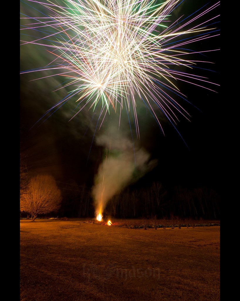
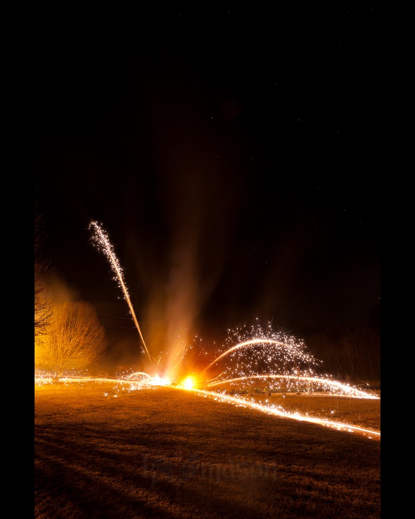
Happy New Year!
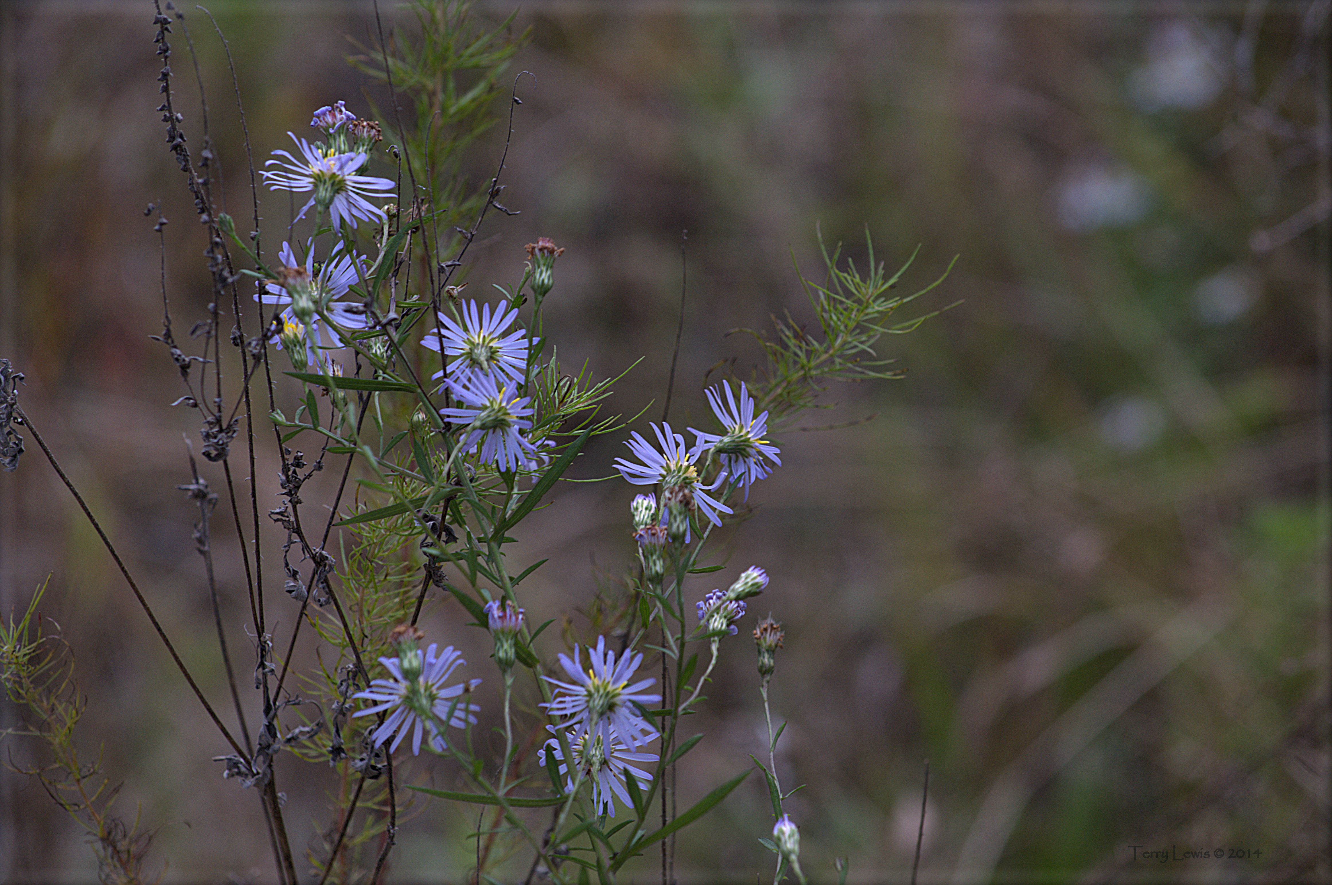
Autumn Wildflower 1
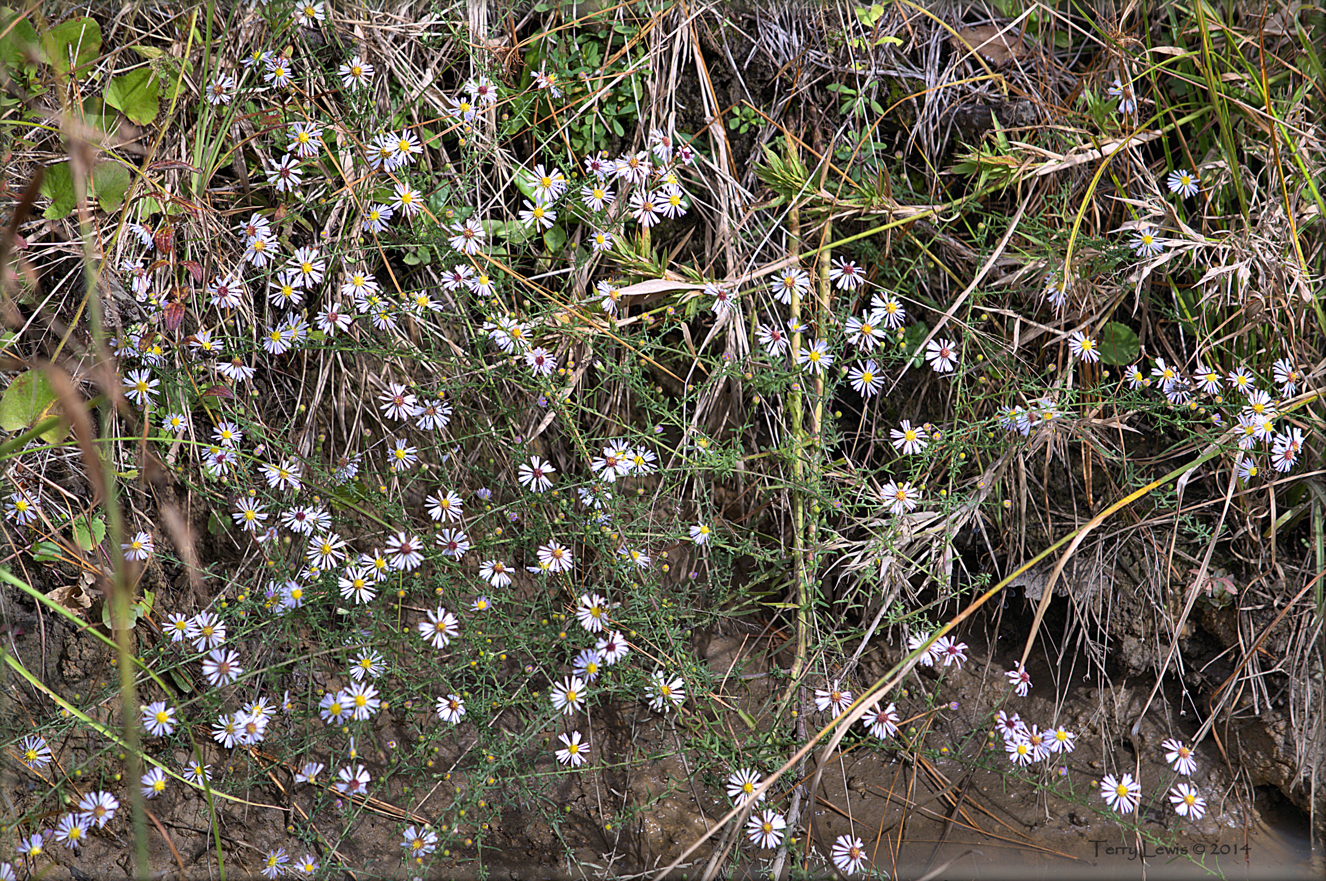
Autumn Wildflower 2

We have arrived

Shattered View
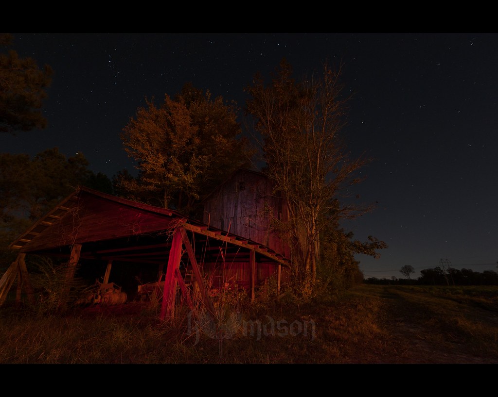
abandoned barn on a starry night

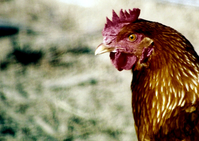
Nose Knows
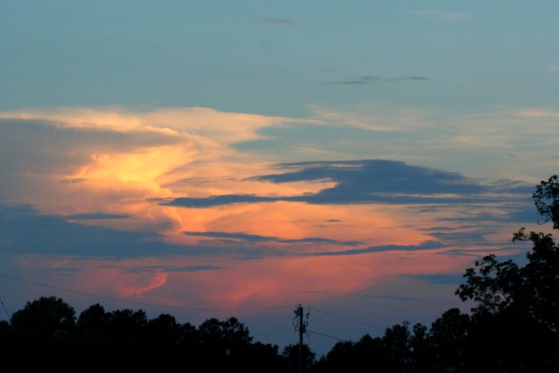
Sunset over Tabor City Sports Complex

Twin City Airport-Runway 8
20160731_162317(0)
Topographic Map of Dale Glen Ln, Loris, SC, USA
Find elevation by address:

Places near Dale Glen Ln, Loris, SC, USA:
Old Todd Ferry Road
Dempsey Drive
Mockingbird Lane
166 Peacock Ln
Old Loris Longs Road
3797 Sc-66
3619 W Bear Grass Rd
3012 Possum Hollar Rd
1471 Holly Hill Rd
321 Bright Leaf Rd
411 Hulls Island Rd
Diamondback Golf Club
Mt Vernon Grocery
321 Long Meadow Dr
Long Meadow Drive
359 Long Meadow Dr
Stags Leap Court
2865 Sc-348
Timber Creek Drive
645 Timber Creek Dr
Recent Searches:
- Elevation of Corso Fratelli Cairoli, 35, Macerata MC, Italy
- Elevation of Tallevast Rd, Sarasota, FL, USA
- Elevation of 4th St E, Sonoma, CA, USA
- Elevation of Black Hollow Rd, Pennsdale, PA, USA
- Elevation of Oakland Ave, Williamsport, PA, USA
- Elevation of Pedrógão Grande, Portugal
- Elevation of Klee Dr, Martinsburg, WV, USA
- Elevation of Via Roma, Pieranica CR, Italy
- Elevation of Tavkvetili Mountain, Georgia
- Elevation of Hartfords Bluff Cir, Mt Pleasant, SC, USA