Elevation of Diamondback golf club, Log Cabin Rd, Loris, SC, USA
Location: United States > South Carolina > Horry County > Loris >
Longitude: -78.834900
Latitude: 34.0533903
Elevation: 32m / 105feet
Barometric Pressure: 101KPa
Elevation Map:
Satellite Map:
Related Photos:
Such a reception--just for us

Nose Knows

Autumn Wildflower 1

Autumn Wildflower 2

Shattered View

It Lies Beneath

The official SC Welcome Sign

Moss Abstract
We have arrived

Sunset over Tabor City Sports Complex
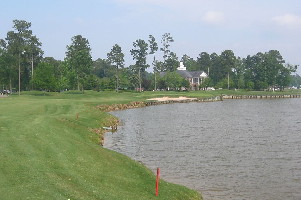
Long Bay Club #18

Twin City Airport-Runway 8

20160731_162317(0)
Topographic Map of Diamondback golf club, Log Cabin Rd, Loris, SC, USA
Find elevation by address:

Places near Diamondback golf club, Log Cabin Rd, Loris, SC, USA:
321 Long Meadow Dr
Long Meadow Drive
Stags Leap Court
Timber Creek Drive
645 Timber Creek Dr
321 Bright Leaf Rd
359 Long Meadow Dr
553 Timber Creek Dr
Mockingbird Lane
166 Peacock Ln
1082 State Rd S-26-570
1070 State Rd S-26-570
Dempsey Drive
Old Todd Ferry Road
Russ Road
556 Longleaf Dr
5520 Main St
120 Fox Dale Dr
5329 Gaylan St
190 State Rd S-26-570
Recent Searches:
- Elevation of Corso Fratelli Cairoli, 35, Macerata MC, Italy
- Elevation of Tallevast Rd, Sarasota, FL, USA
- Elevation of 4th St E, Sonoma, CA, USA
- Elevation of Black Hollow Rd, Pennsdale, PA, USA
- Elevation of Oakland Ave, Williamsport, PA, USA
- Elevation of Pedrógão Grande, Portugal
- Elevation of Klee Dr, Martinsburg, WV, USA
- Elevation of Via Roma, Pieranica CR, Italy
- Elevation of Tavkvetili Mountain, Georgia
- Elevation of Hartfords Bluff Cir, Mt Pleasant, SC, USA