Elevation of Myatt Township, AR, USA
Location: United States > Arkansas > Fulton County >
Longitude: -91.617801
Latitude: 36.4038771
Elevation: 177m / 581feet
Barometric Pressure: 99KPa
Elevation Map:
Satellite Map:
Related Photos:

[Hospitàl Thrill] - Thrilling Intro
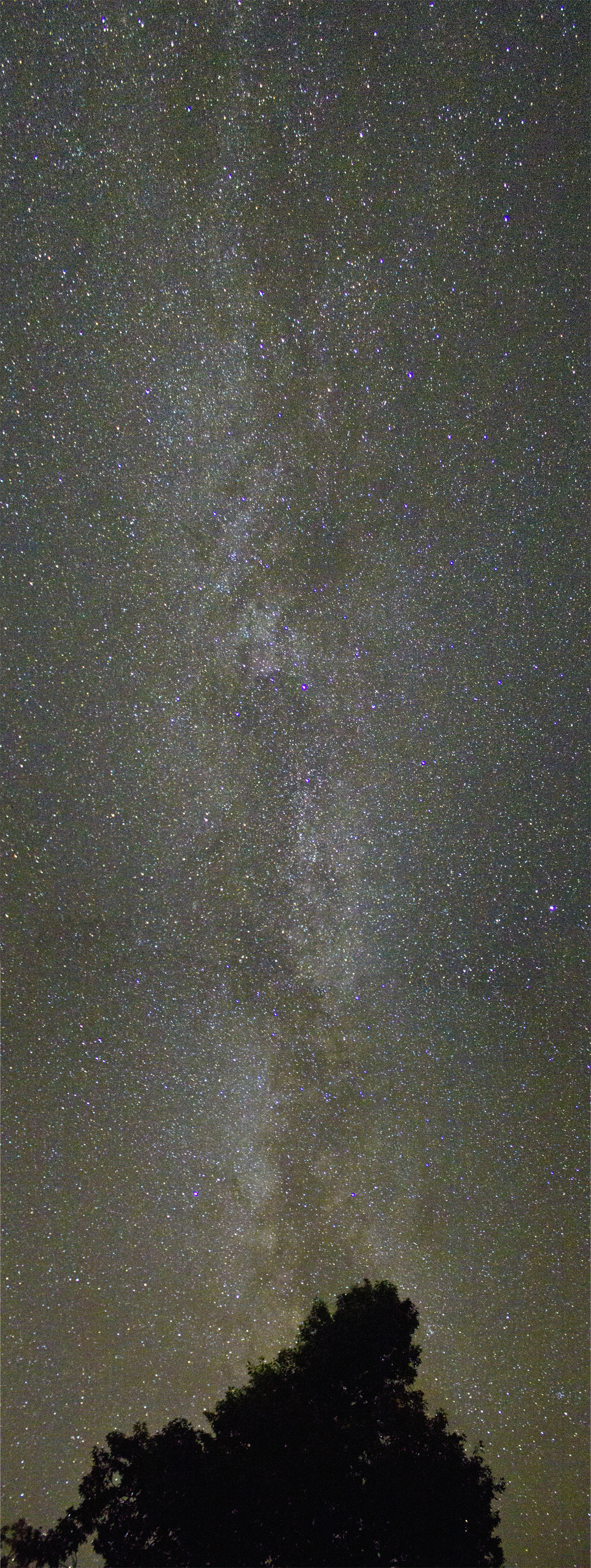
Milky Way

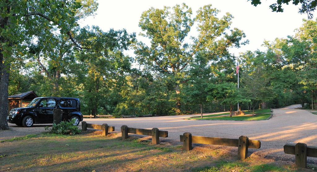
Driveway View

Sunset at Lake Thunderbird III

Frisco Fe

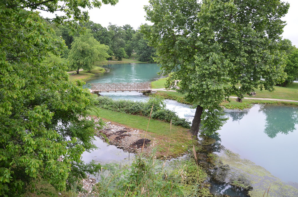
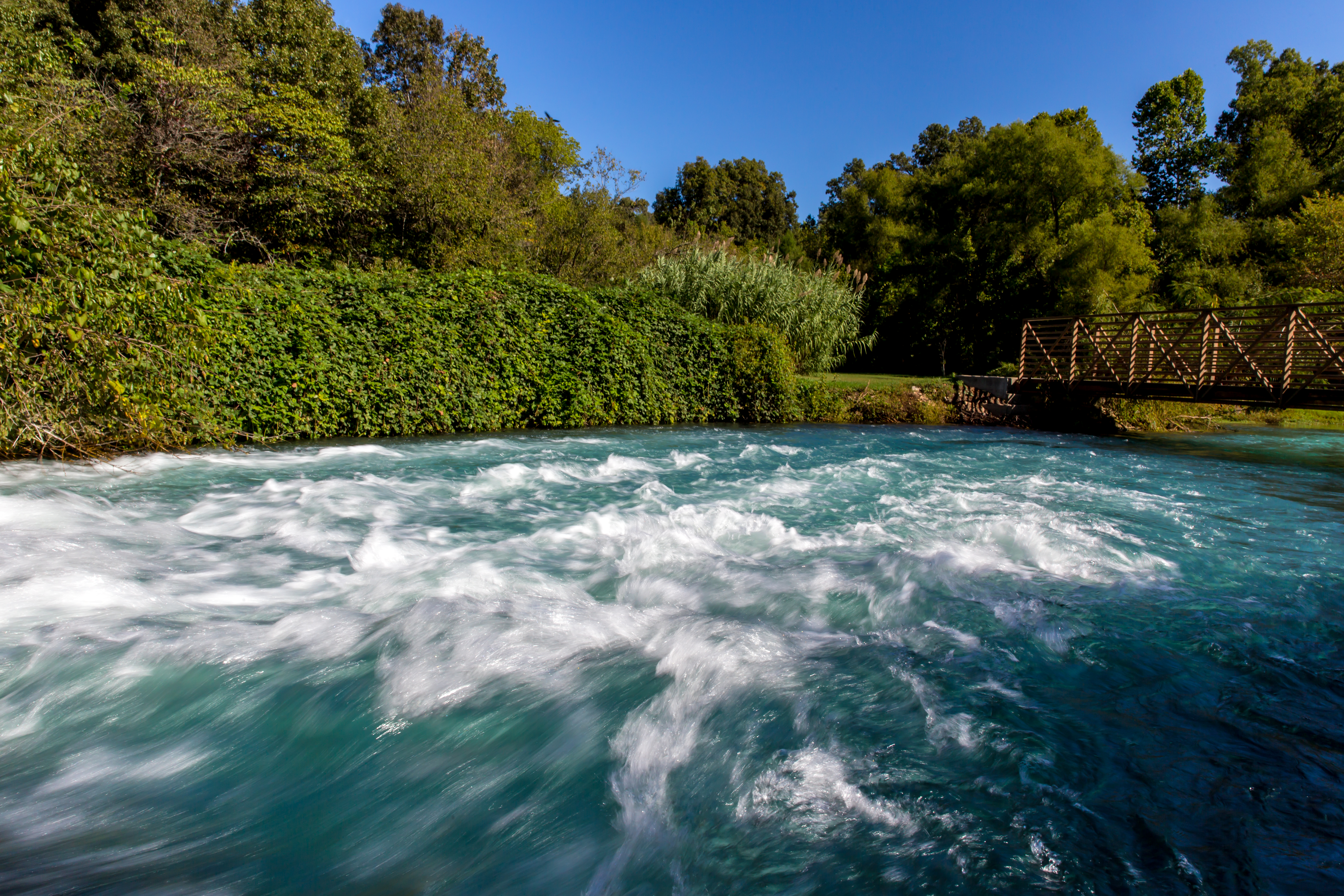
Mammoth Spring State Park - Arkansas
Mammoth Spring State Park - Arkansas

Mammoth Spring State Park (Ark.), 16 February 2010

Mammoth Spring State Park - Arkansas
Mammoth Spring, Arkansas

Mammoth Spring State Park (Ark.), 16 February 2010
Grand Gulf State Park
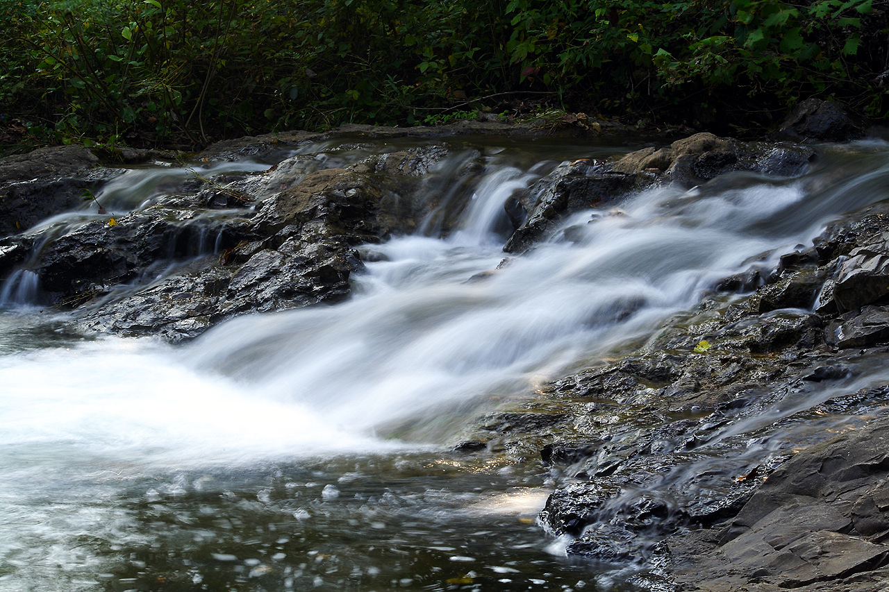
Cherokee Village Cascade
Rainy April Day

6-1-2015
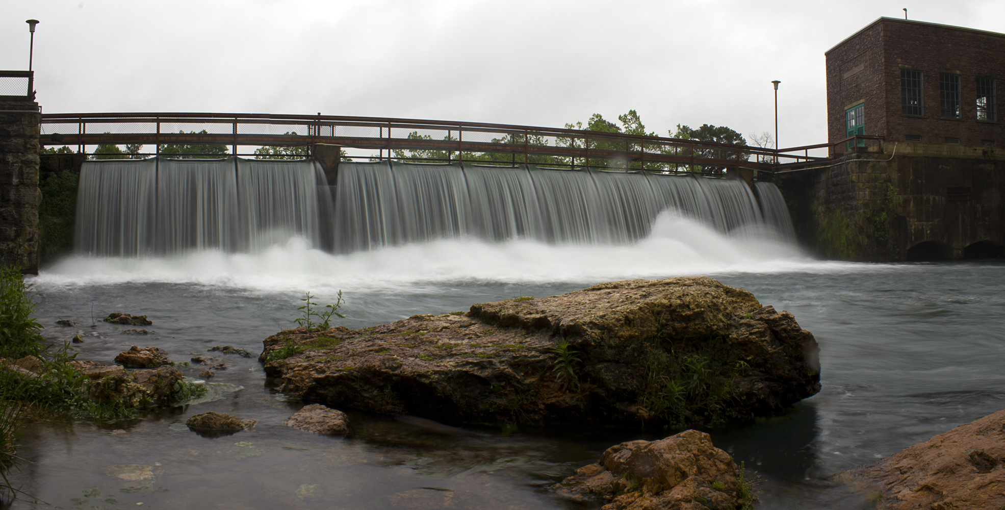
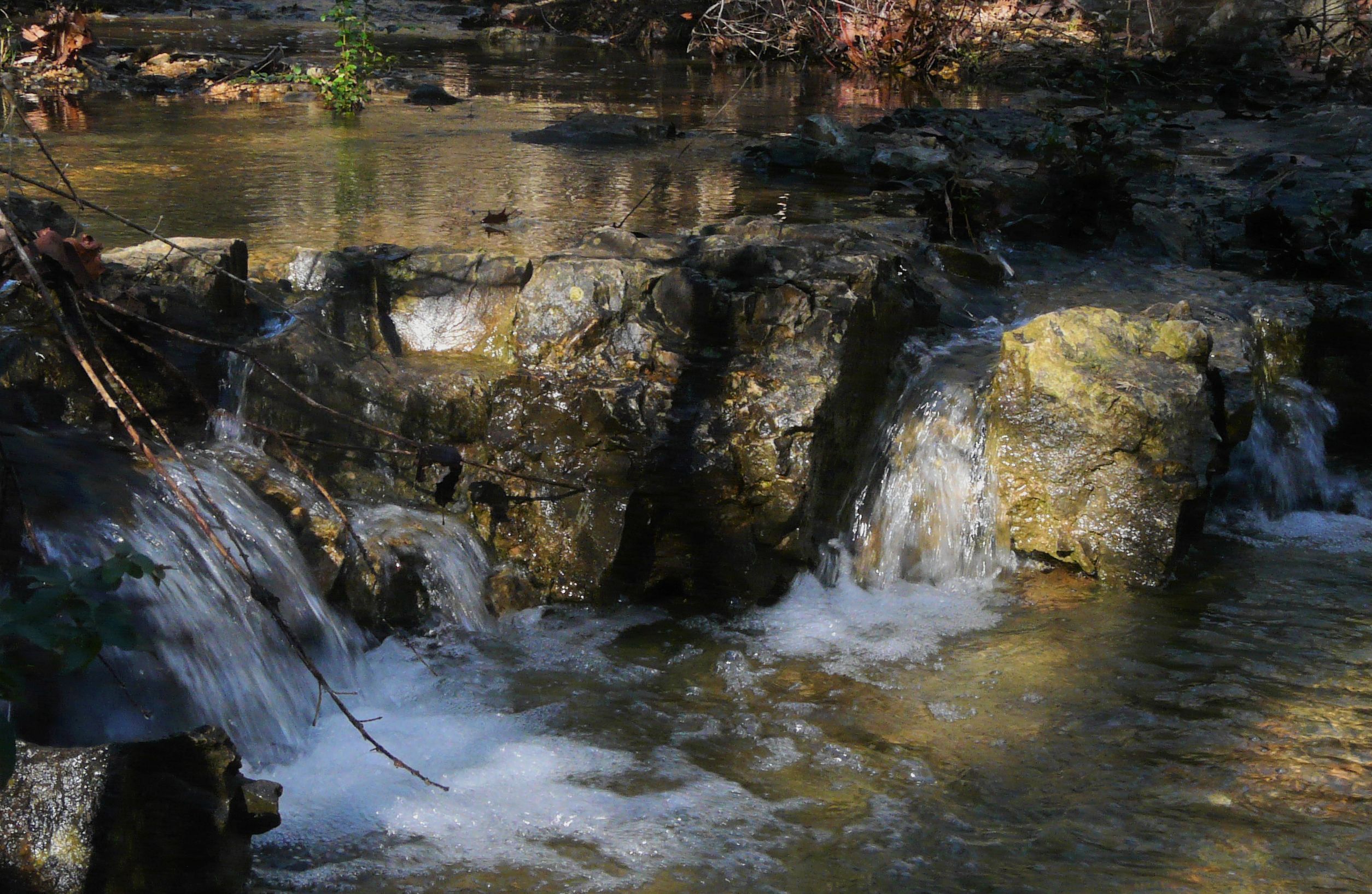
Mammoth Spring Spillway
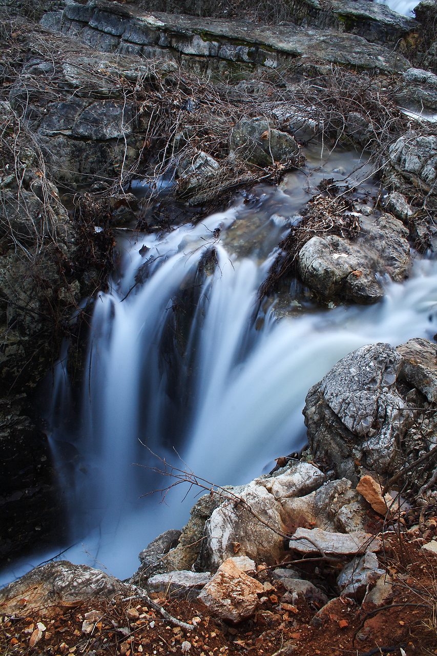
Flooded Falls II
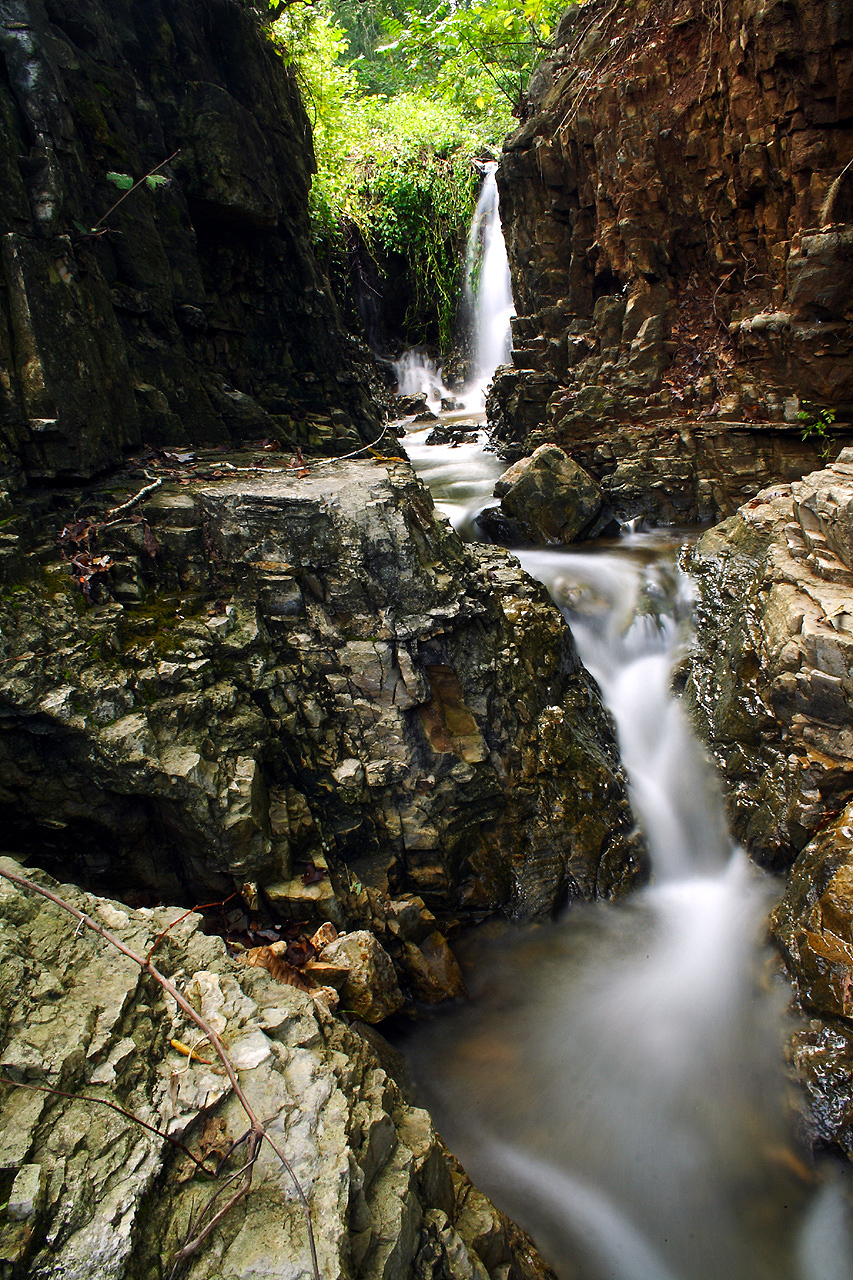
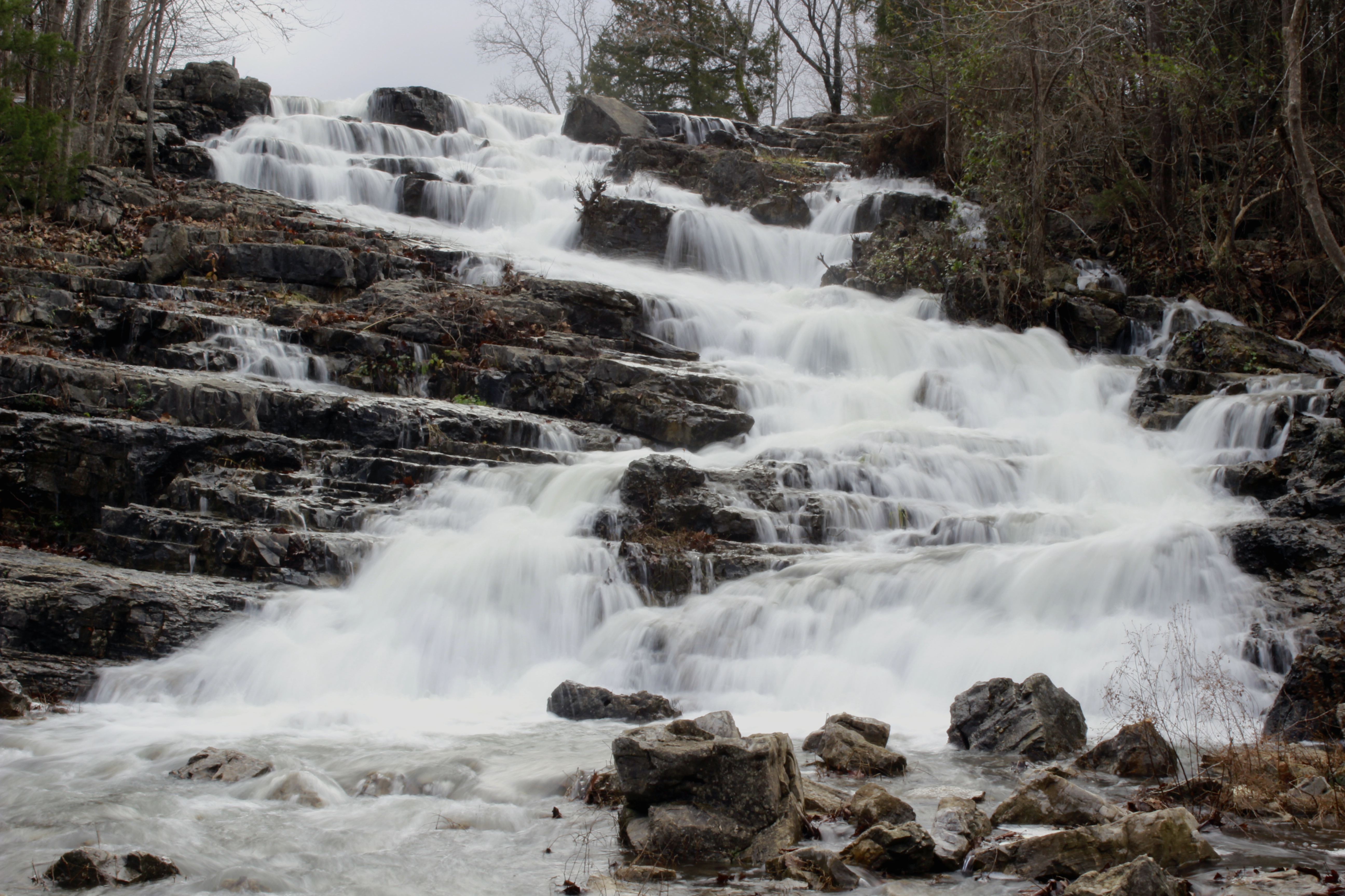
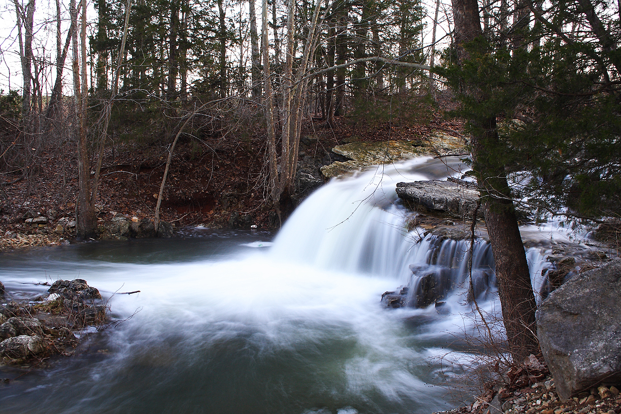
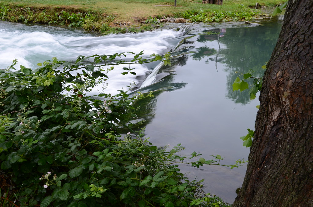
Cherokee Falls I
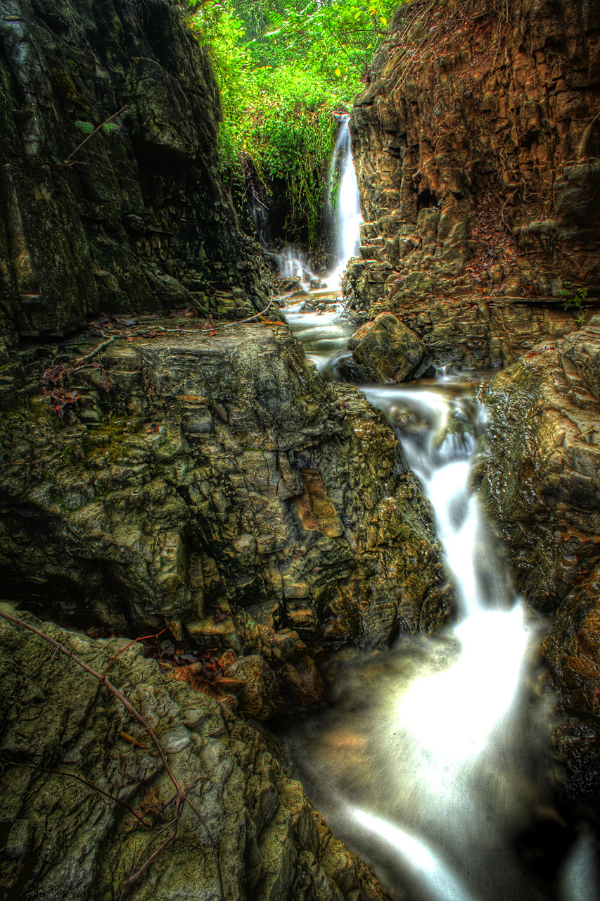
Cherokee Falls HDR I
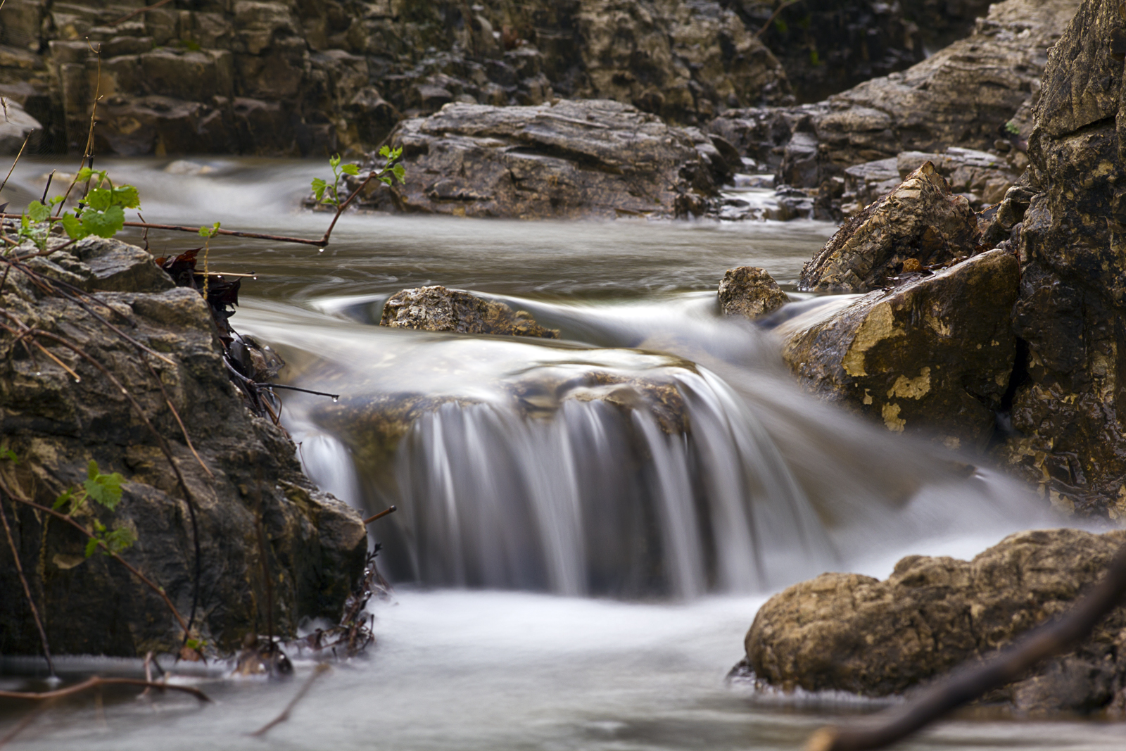
Our Creek

Breaking Waves
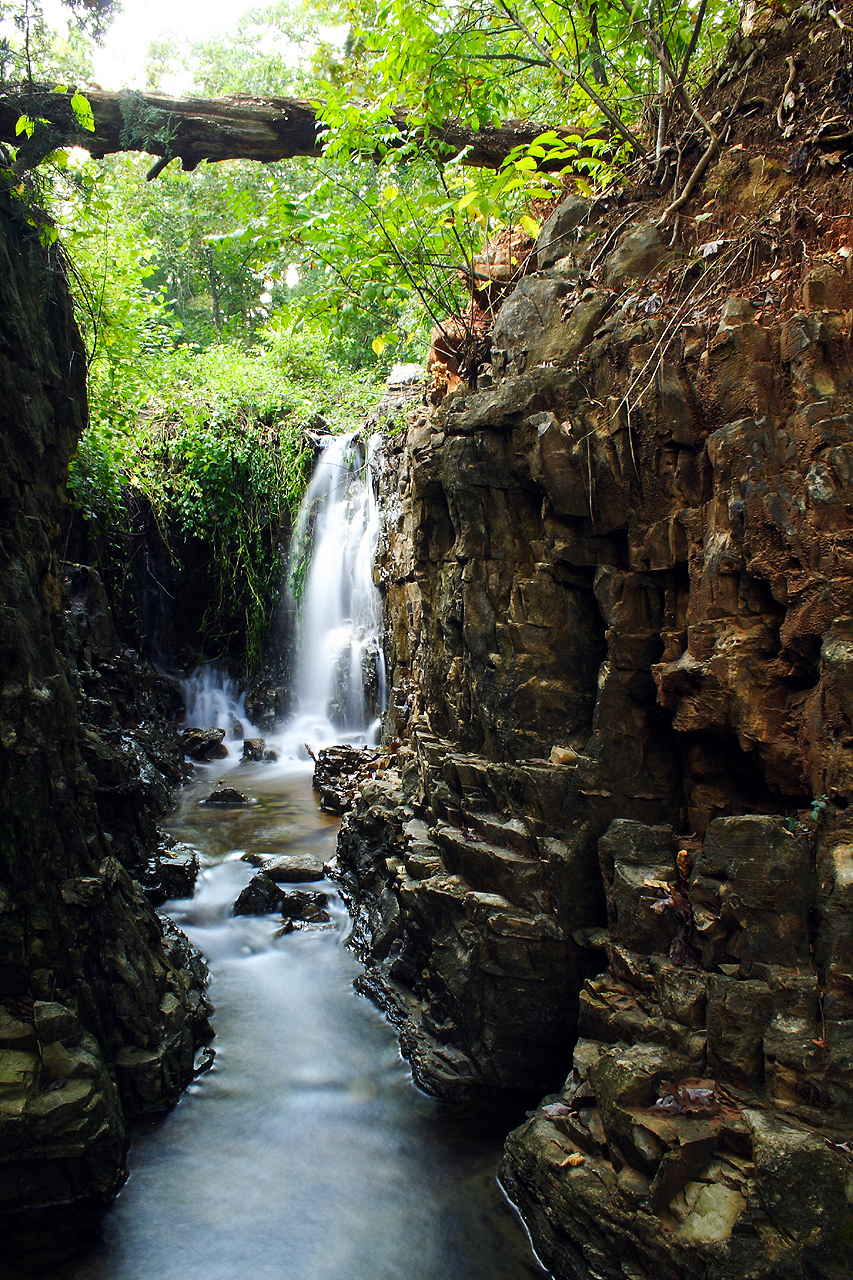
Cherokee Falls II
Cherokee Falls HDR II
Flooded Falls III
Cherokee Falls HDR III
Flooded Low Water Bridge - Hardy, AR
Flooded Falls I
Cherokee Falls IV
Mammouth Spring, Arkansas
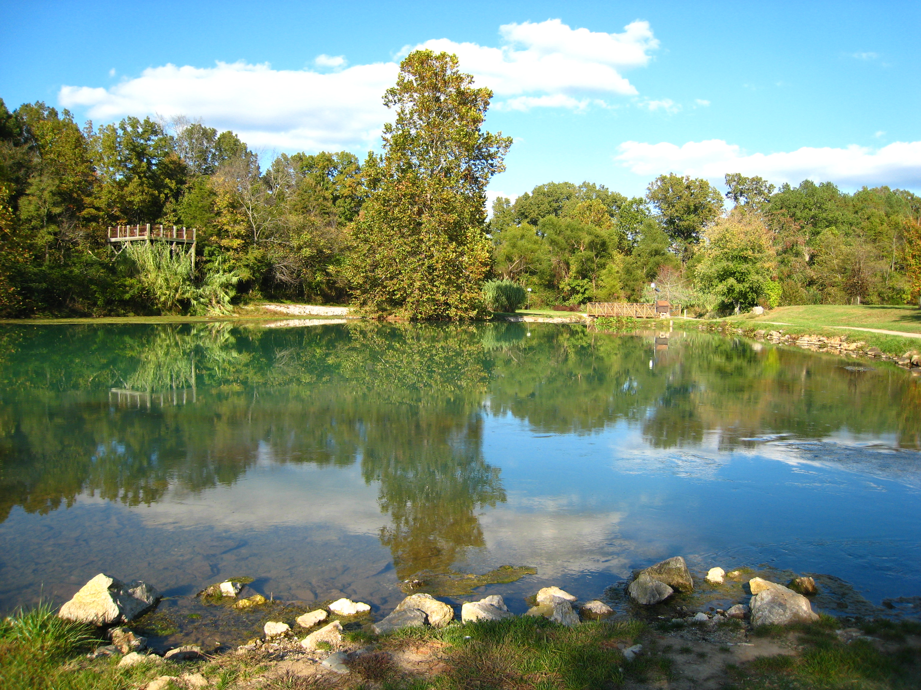
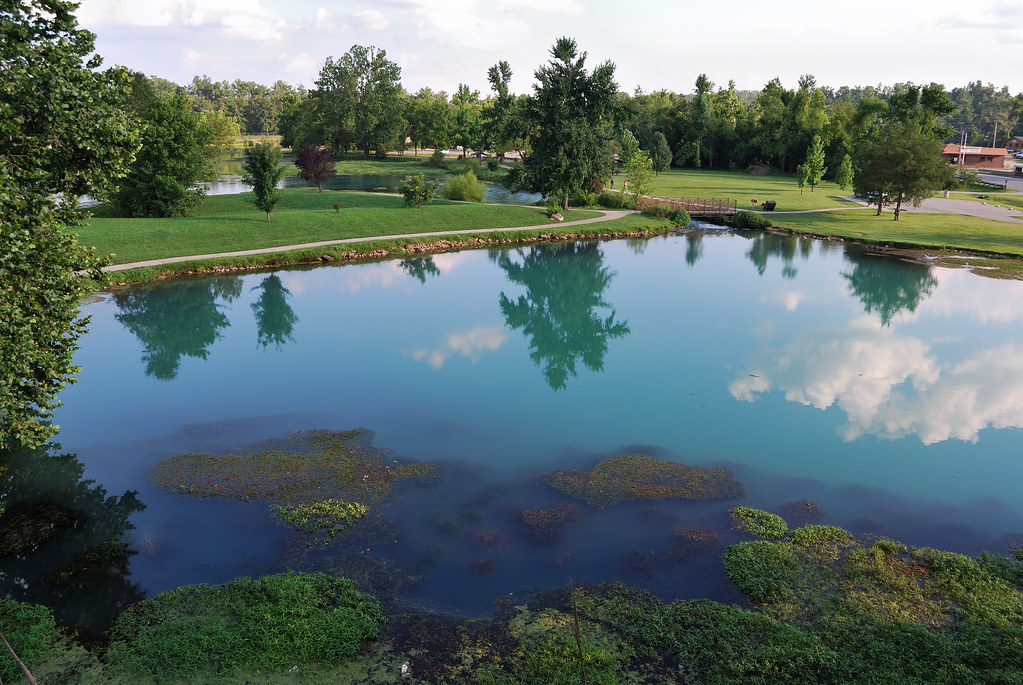
Mammoth Spring Reflections
Mammoth Spring State Park - Arkansas
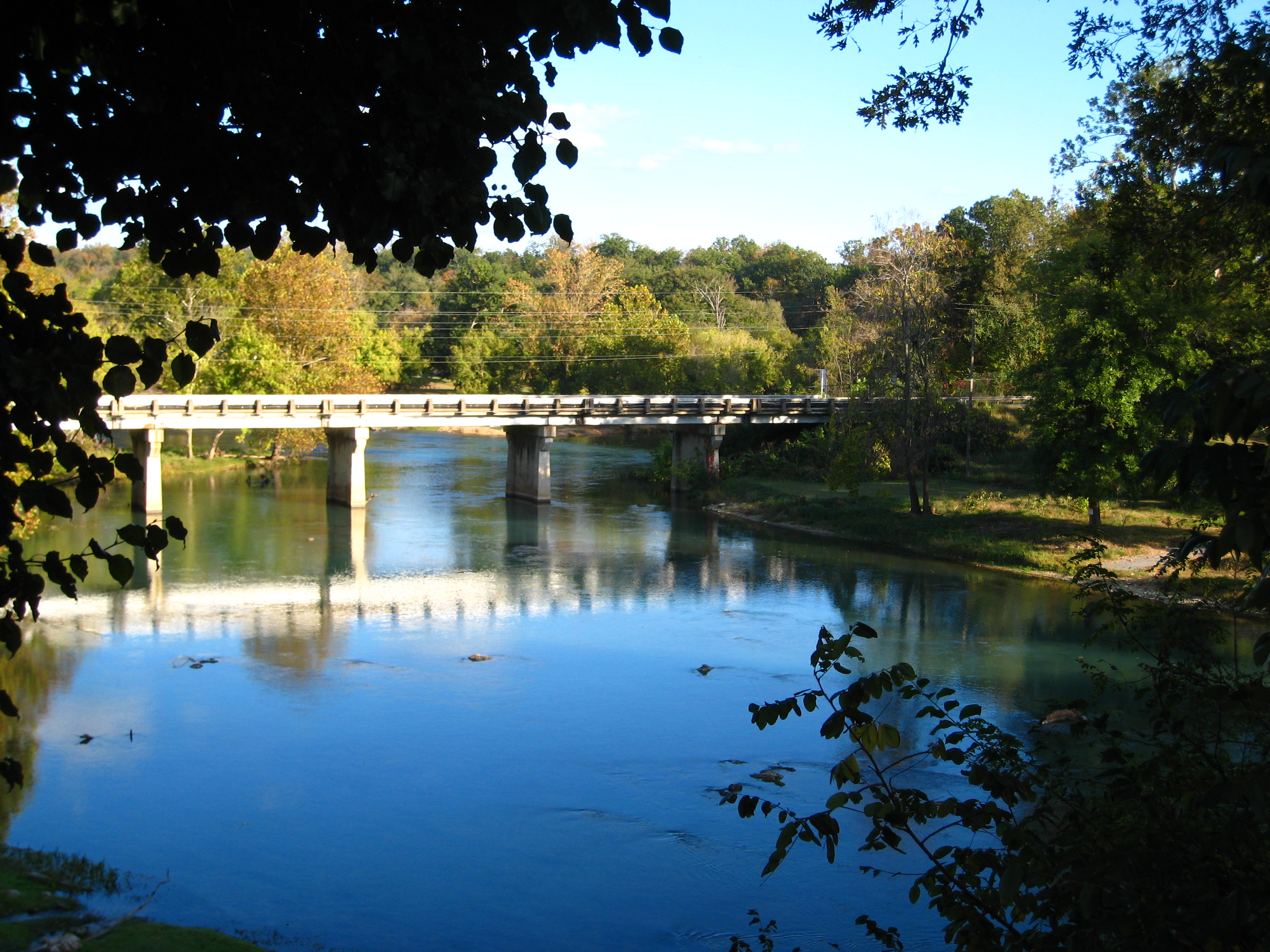
Spring River Bridge
Topographic Map of Myatt Township, AR, USA
Find elevation by address:

Places in Myatt Township, AR, USA:
Places near Myatt Township, AR, USA:
AR-, Mammoth Spring, AR, USA
Mammoth Spring Township
Pleasant Ridge Township
67 Pinal Cir
533 Rainbow Valley Trail
68 Cherokee Rd
Mammoth Spring
Main St, Mammoth Spring, AR, USA
9 Navajo Trce
128 Rainbow Valley Trail
Cherokee Township
Heart Rd, Glencoe, AR, USA
21 Arrowhead Dr
Harmon Road
21 Nameoki Dr
Thayer
Cherokee Village
Sequoyah Ridge Rd, Cherokee Village, AR, USA
145 Briarwood Dr
Highland
Recent Searches:
- Elevation of Corso Fratelli Cairoli, 35, Macerata MC, Italy
- Elevation of Tallevast Rd, Sarasota, FL, USA
- Elevation of 4th St E, Sonoma, CA, USA
- Elevation of Black Hollow Rd, Pennsdale, PA, USA
- Elevation of Oakland Ave, Williamsport, PA, USA
- Elevation of Pedrógão Grande, Portugal
- Elevation of Klee Dr, Martinsburg, WV, USA
- Elevation of Via Roma, Pieranica CR, Italy
- Elevation of Tavkvetili Mountain, Georgia
- Elevation of Hartfords Bluff Cir, Mt Pleasant, SC, USA