Elevation of Mweka, Democratic Republic of the Congo
Location: Democratic Republic Of The Congo > Kasai Occidental > Kasai >
Longitude: 21.5587544
Latitude: -4.8531154
Elevation: 581m / 1906feet
Barometric Pressure: 95KPa
Elevation Map:
Satellite Map:
Related Photos:
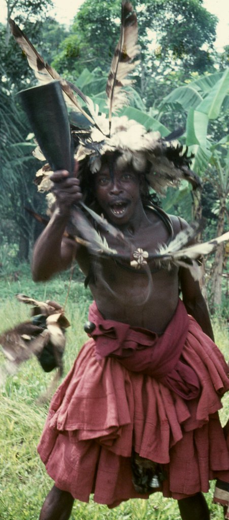
Mweka

R.I.P. Chinua Achebe (1930 - 2013)
Helpful Gentleman
Topographic Map of Mweka, Democratic Republic of the Congo
Find elevation by address:

Places near Mweka, Democratic Republic of the Congo:
Recent Searches:
- Elevation of Corso Fratelli Cairoli, 35, Macerata MC, Italy
- Elevation of Tallevast Rd, Sarasota, FL, USA
- Elevation of 4th St E, Sonoma, CA, USA
- Elevation of Black Hollow Rd, Pennsdale, PA, USA
- Elevation of Oakland Ave, Williamsport, PA, USA
- Elevation of Pedrógão Grande, Portugal
- Elevation of Klee Dr, Martinsburg, WV, USA
- Elevation of Via Roma, Pieranica CR, Italy
- Elevation of Tavkvetili Mountain, Georgia
- Elevation of Hartfords Bluff Cir, Mt Pleasant, SC, USA