Elevation of Demba, Democratic Republic of the Congo
Location: Democratic Republic Of The Congo > Kasai Occidental > Lulua >
Longitude: 22.274168
Latitude: -5.4906936
Elevation: 625m / 2051feet
Barometric Pressure: 94KPa
Elevation Map:
Satellite Map:
Related Photos:
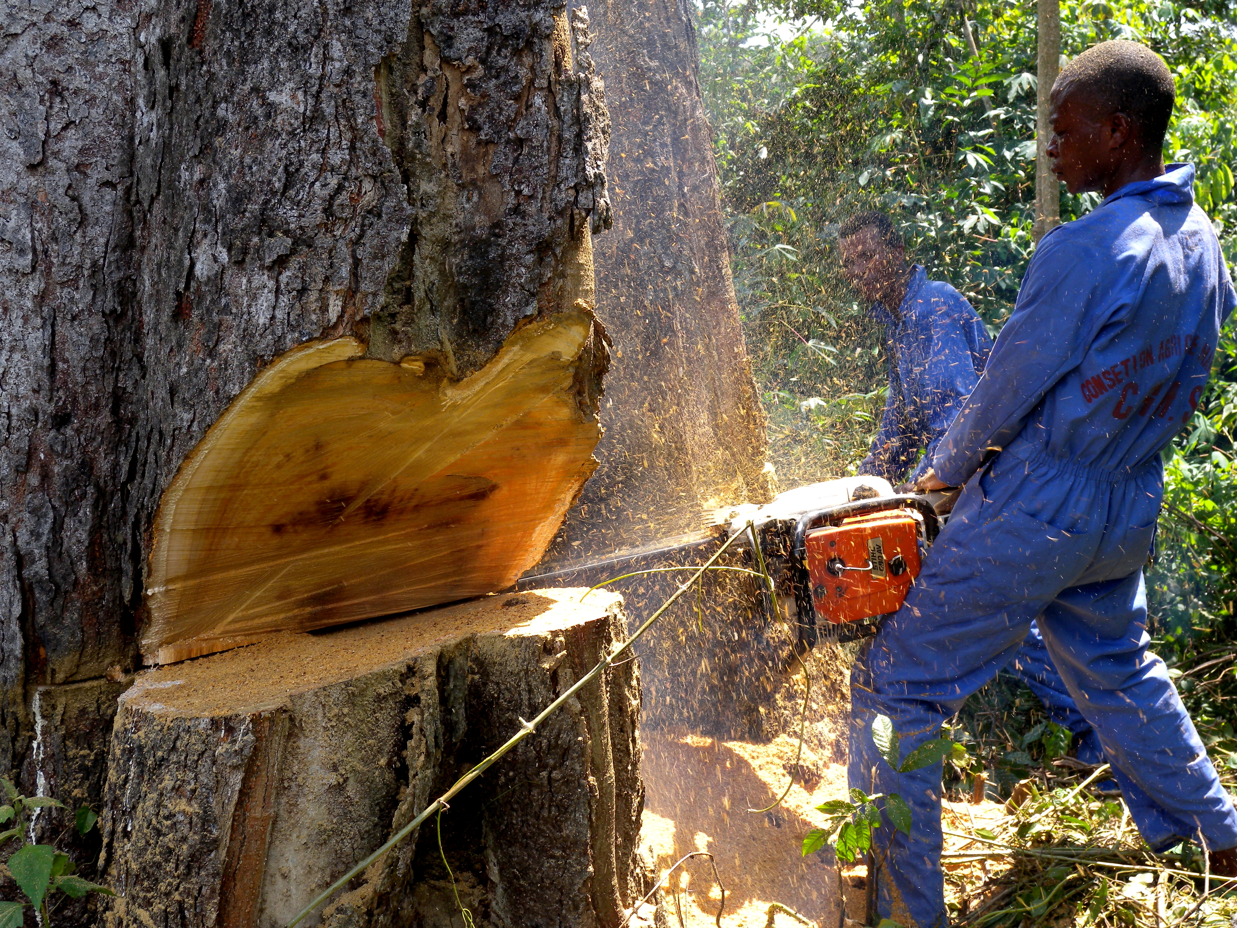
Chlorophora Excelsa - DRC

Artisanal Diamond Mining along the Chibungu River, Kasai Occidental, DRC
Topographic Map of Demba, Democratic Republic of the Congo
Find elevation by address:

Places near Demba, Democratic Republic of the Congo:
Recent Searches:
- Elevation of Corso Fratelli Cairoli, 35, Macerata MC, Italy
- Elevation of Tallevast Rd, Sarasota, FL, USA
- Elevation of 4th St E, Sonoma, CA, USA
- Elevation of Black Hollow Rd, Pennsdale, PA, USA
- Elevation of Oakland Ave, Williamsport, PA, USA
- Elevation of Pedrógão Grande, Portugal
- Elevation of Klee Dr, Martinsburg, WV, USA
- Elevation of Via Roma, Pieranica CR, Italy
- Elevation of Tavkvetili Mountain, Georgia
- Elevation of Hartfords Bluff Cir, Mt Pleasant, SC, USA