Elevation of Musselshell, MT, USA
Location: United States > Montana > Musselshell County >
Longitude: -108.09122
Latitude: 46.5185867
Elevation: 912m / 2992feet
Barometric Pressure: 91KPa
Elevation Map:
Satellite Map:
Related Photos:
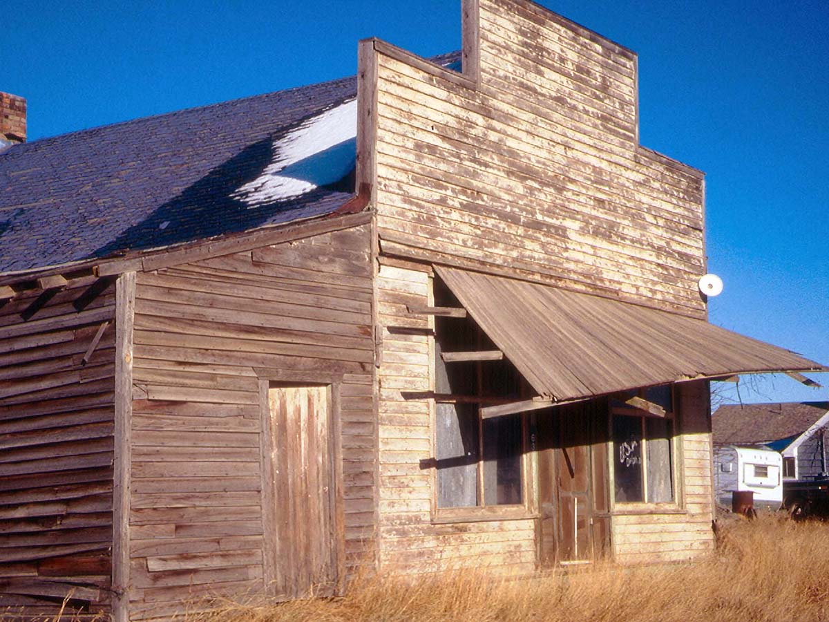
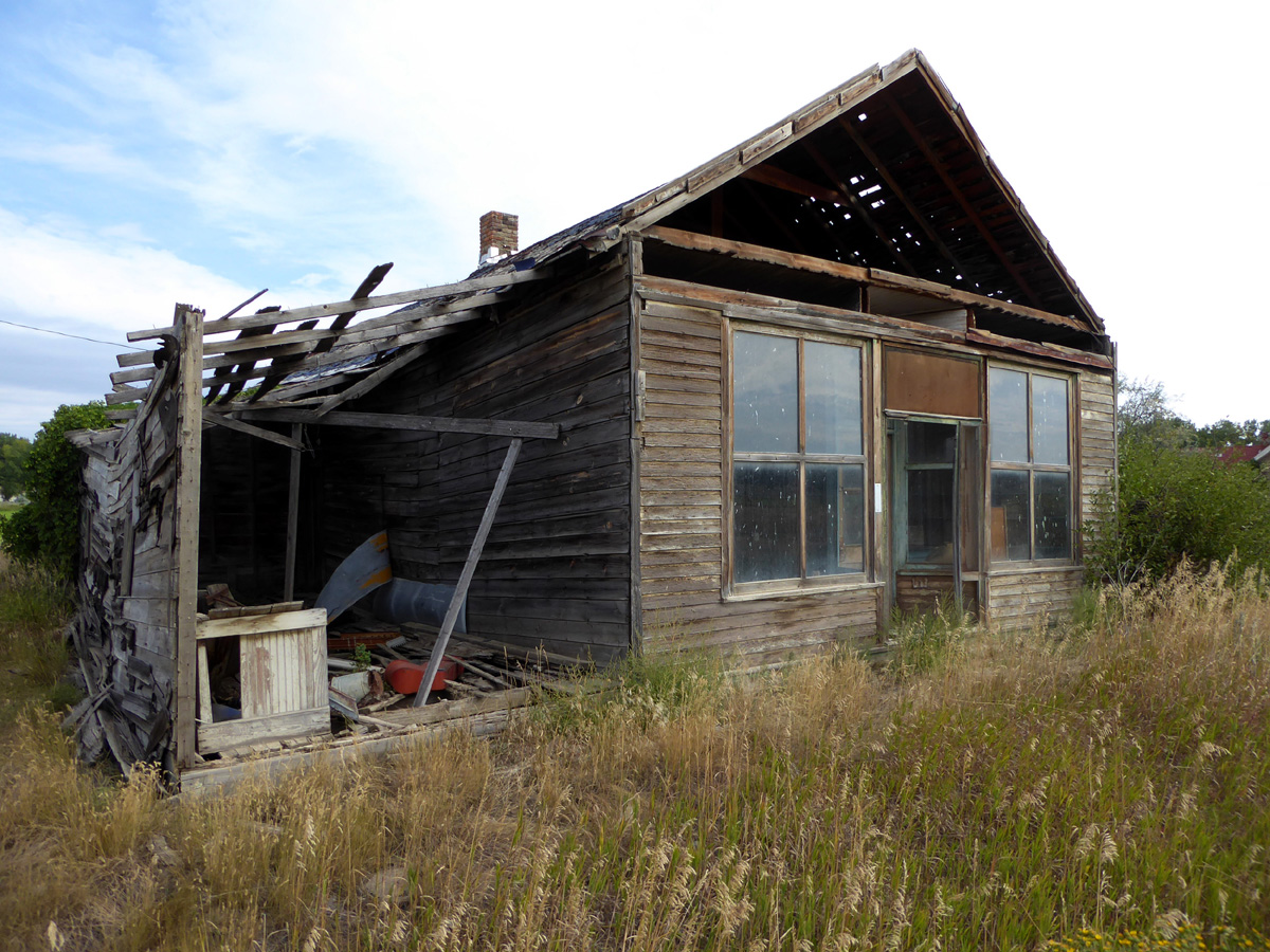
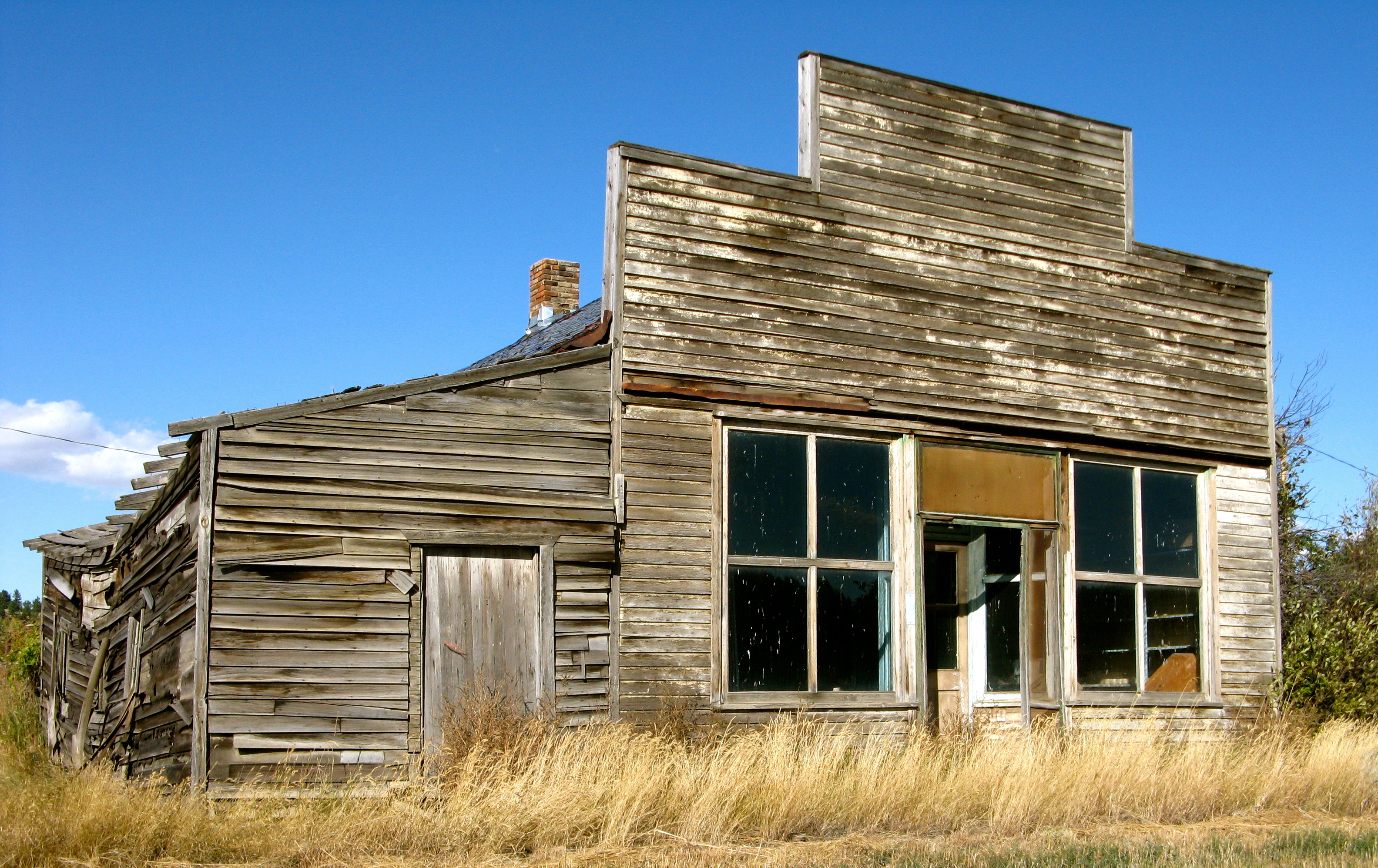
Delphia, Montana 59073
Musselshell, Montana 59059

Musselshell, Montana 59059
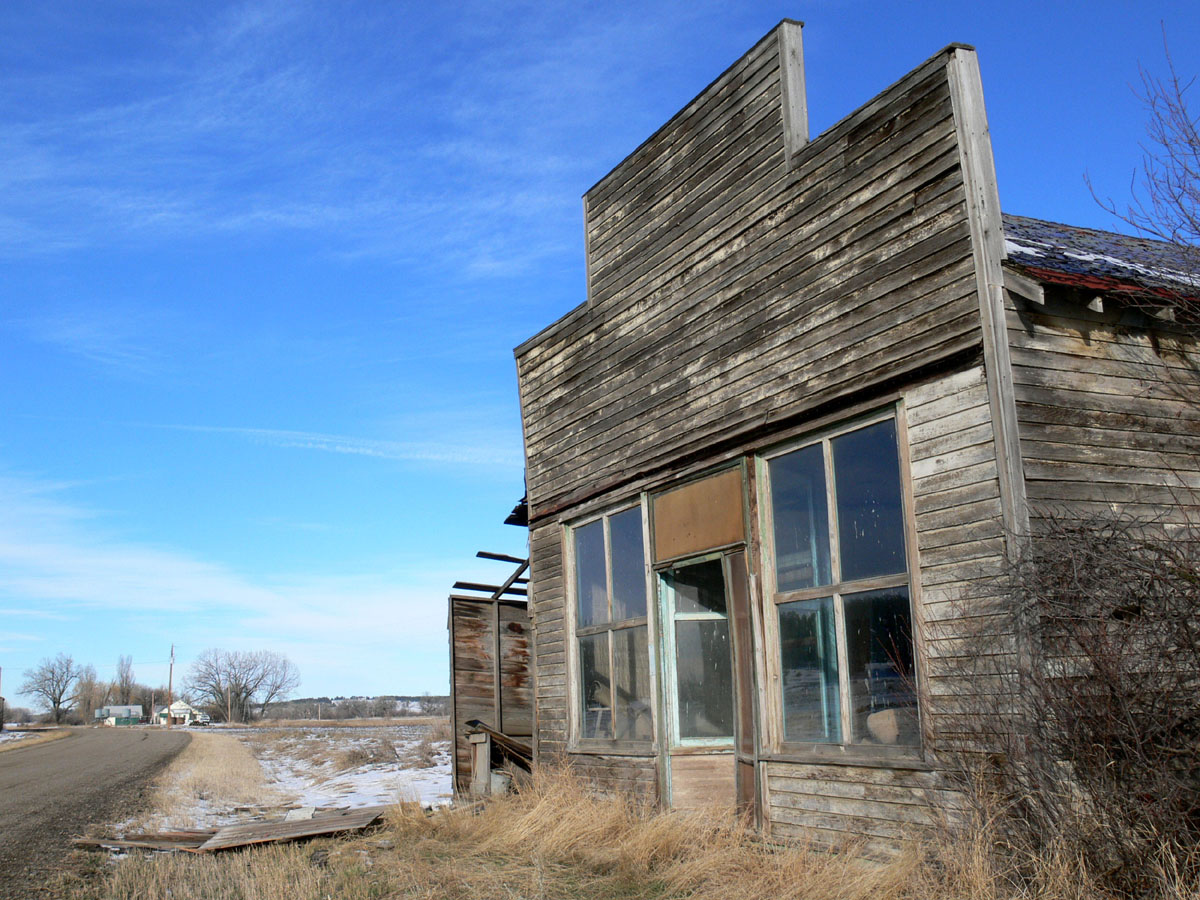
Delphia, Montana 59073

Andy Baxter, Fernando Chen, Laura Brown, and Jordan Van Der Noot fighting the North Delphia Fire east of Roundup, Montana on July 14, 2017. Photo by U.S. Forest Service/Alex Jaume.
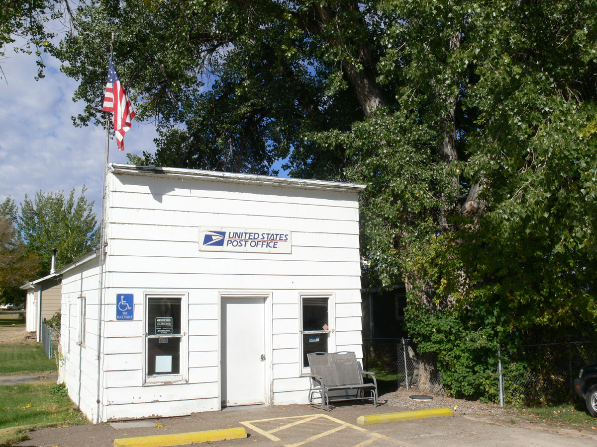
Delphia, Montana
Delphia,Montana
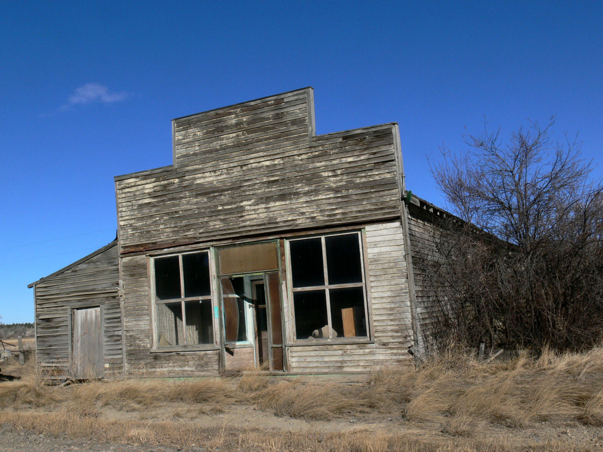
Delphia, Montana 59073
Topographic Map of Musselshell, MT, USA
Find elevation by address:

Places near Musselshell, MT, USA:
Painted Horse Trail
27 Jack Rabbit Ln
121 Painted Horse Trail
Winnett, MT, USA
Mosby
MT-, Jordan, MT, USA
Brusett Road
Garfield County
Brusett
Jordan
Recent Searches:
- Elevation of Corso Fratelli Cairoli, 35, Macerata MC, Italy
- Elevation of Tallevast Rd, Sarasota, FL, USA
- Elevation of 4th St E, Sonoma, CA, USA
- Elevation of Black Hollow Rd, Pennsdale, PA, USA
- Elevation of Oakland Ave, Williamsport, PA, USA
- Elevation of Pedrógão Grande, Portugal
- Elevation of Klee Dr, Martinsburg, WV, USA
- Elevation of Via Roma, Pieranica CR, Italy
- Elevation of Tavkvetili Mountain, Georgia
- Elevation of Hartfords Bluff Cir, Mt Pleasant, SC, USA