Elevation of MT-, Jordan, MT, USA
Location: United States > Montana > Garfield County > Jordan >
Longitude: -107.35401
Latitude: 47.1342925
Elevation: 927m / 3041feet
Barometric Pressure: 91KPa
Elevation Map:
Satellite Map:
Related Photos:
Edwards, Montana

And on and on
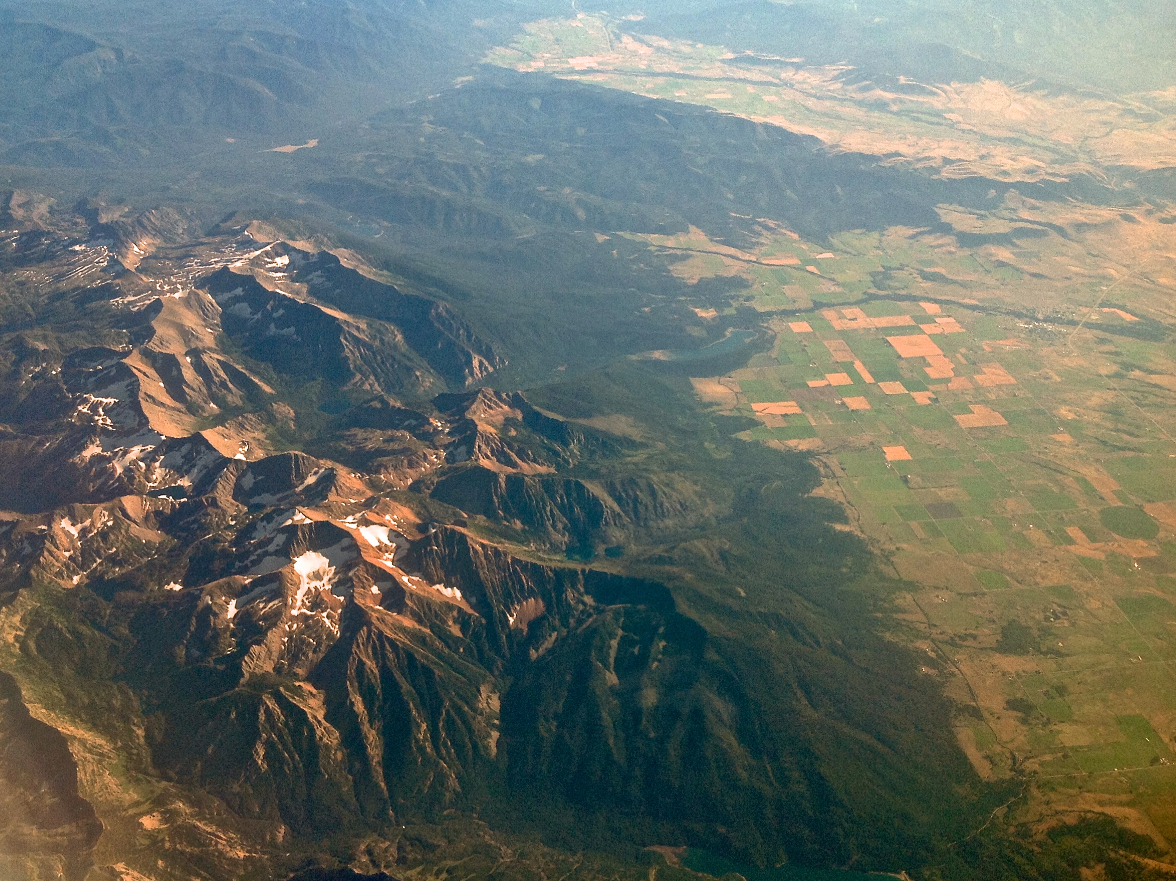
Somewhere over Montana

Moonrise Over Dugout Coulee
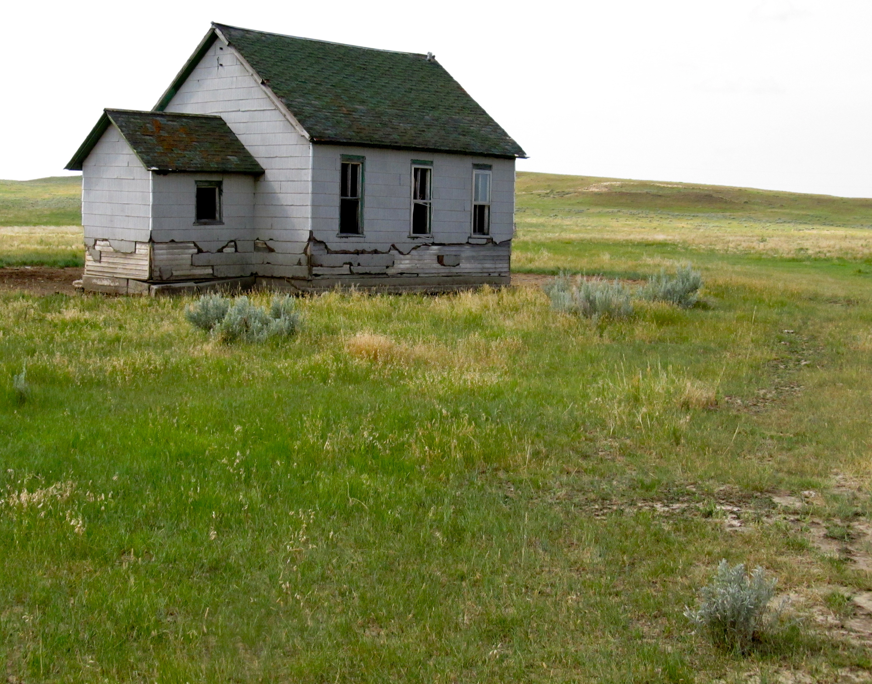
Highway 200 School. Montana
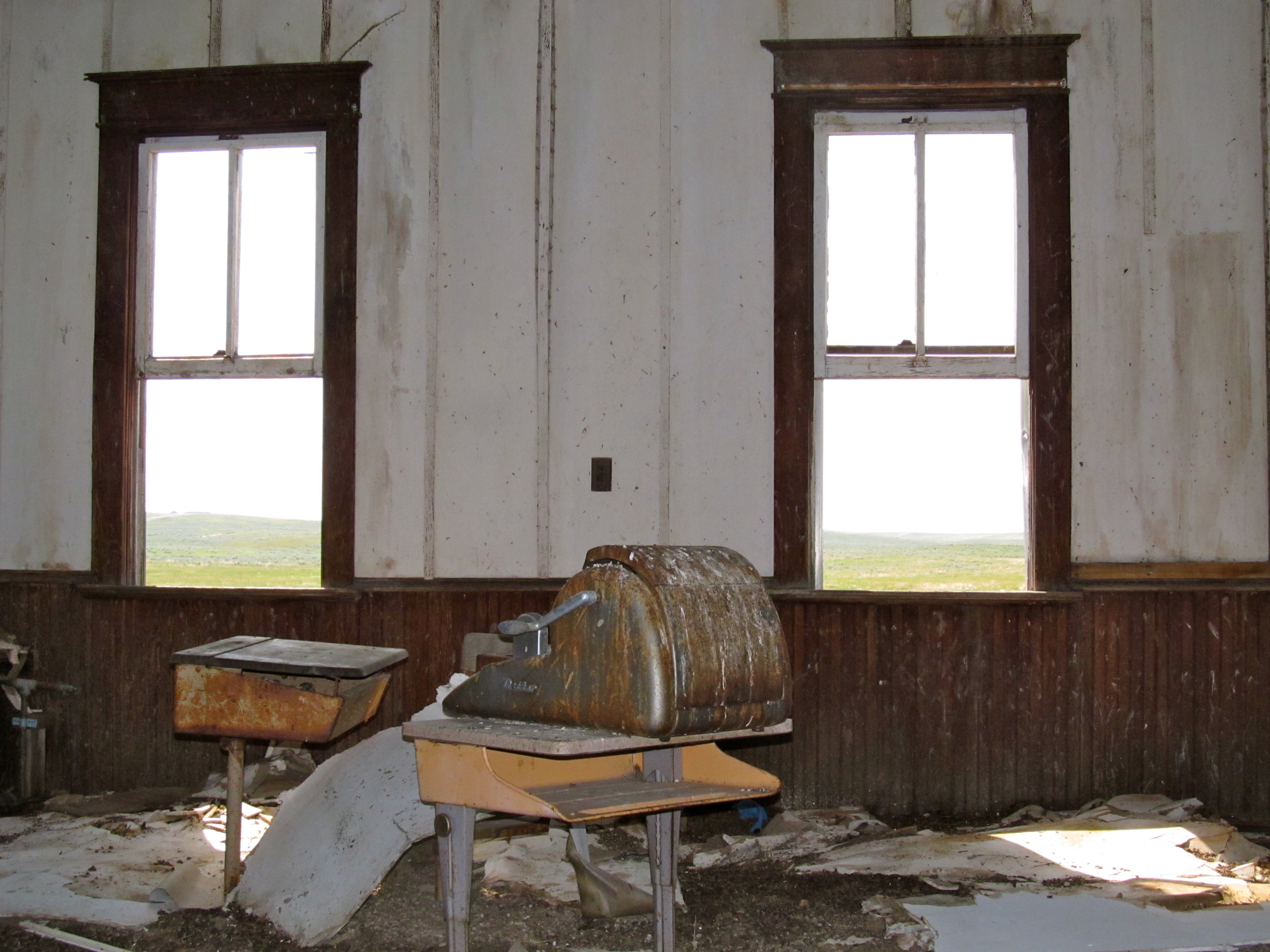
Interior, Highway 200 School. Montana

Busch Light
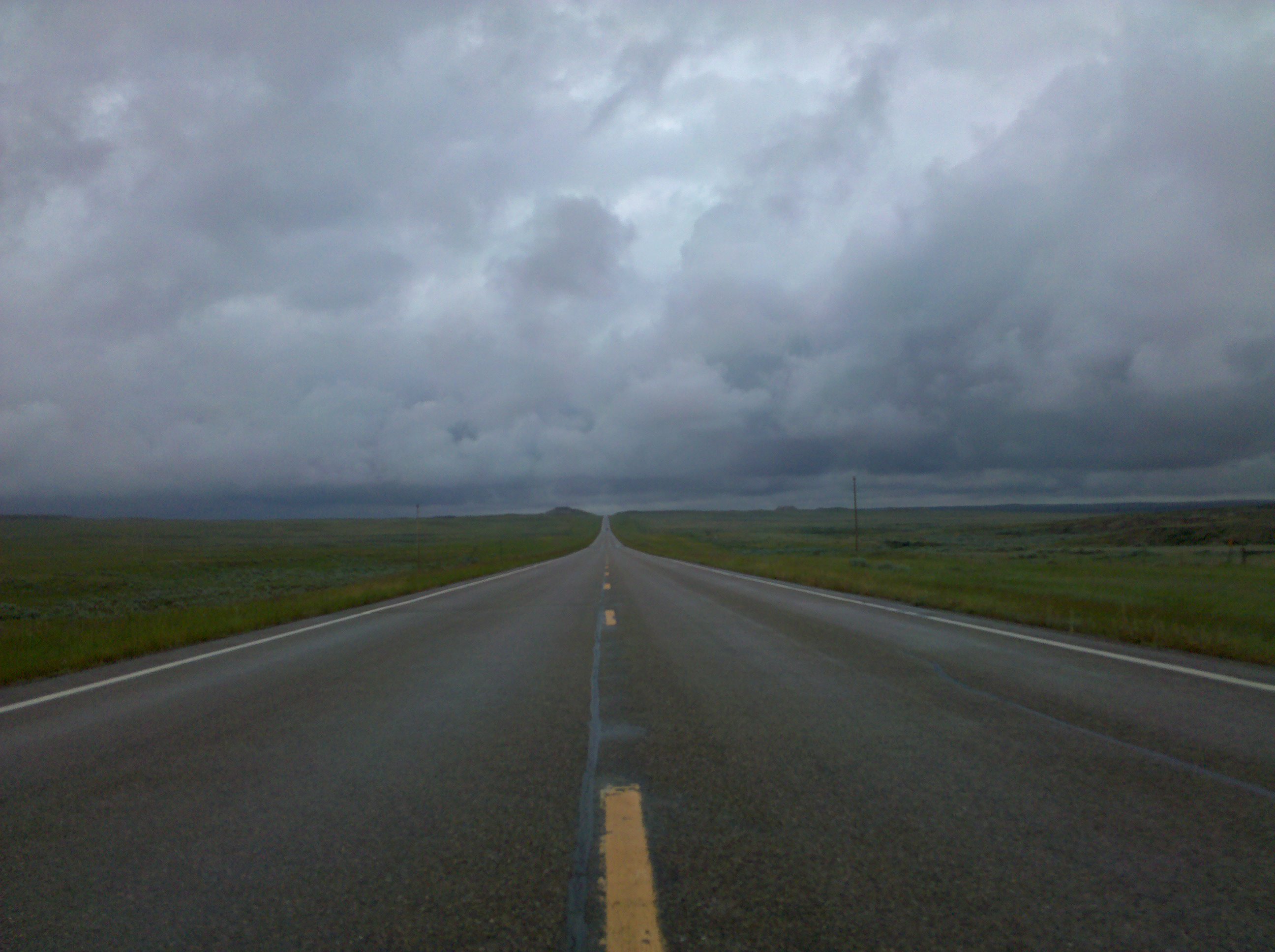
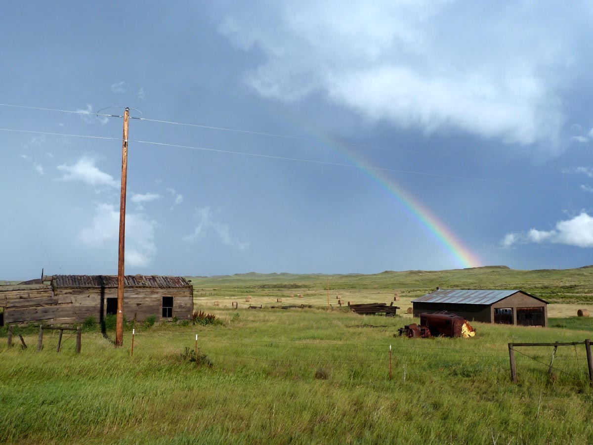
A wet morning
Topographic Map of MT-, Jordan, MT, USA
Find elevation by address:

Places near MT-, Jordan, MT, USA:
Garfield County
Brusett
Brusett Road
Jordan
Mosby
Winnett, MT, USA
Musselshell
27 Jack Rabbit Ln
Painted Horse Trail
121 Painted Horse Trail
Recent Searches:
- Elevation of Corso Fratelli Cairoli, 35, Macerata MC, Italy
- Elevation of Tallevast Rd, Sarasota, FL, USA
- Elevation of 4th St E, Sonoma, CA, USA
- Elevation of Black Hollow Rd, Pennsdale, PA, USA
- Elevation of Oakland Ave, Williamsport, PA, USA
- Elevation of Pedrógão Grande, Portugal
- Elevation of Klee Dr, Martinsburg, WV, USA
- Elevation of Via Roma, Pieranica CR, Italy
- Elevation of Tavkvetili Mountain, Georgia
- Elevation of Hartfords Bluff Cir, Mt Pleasant, SC, USA