Elevation of Mushubati, Rwanda
Location: Rwanda > Southern Province > Muhanga >
Longitude: 29.7295734
Latitude: -2.0649934
Elevation: 1887m / 6191feet
Barometric Pressure: 81KPa
Elevation Map:
Satellite Map:
Related Photos:

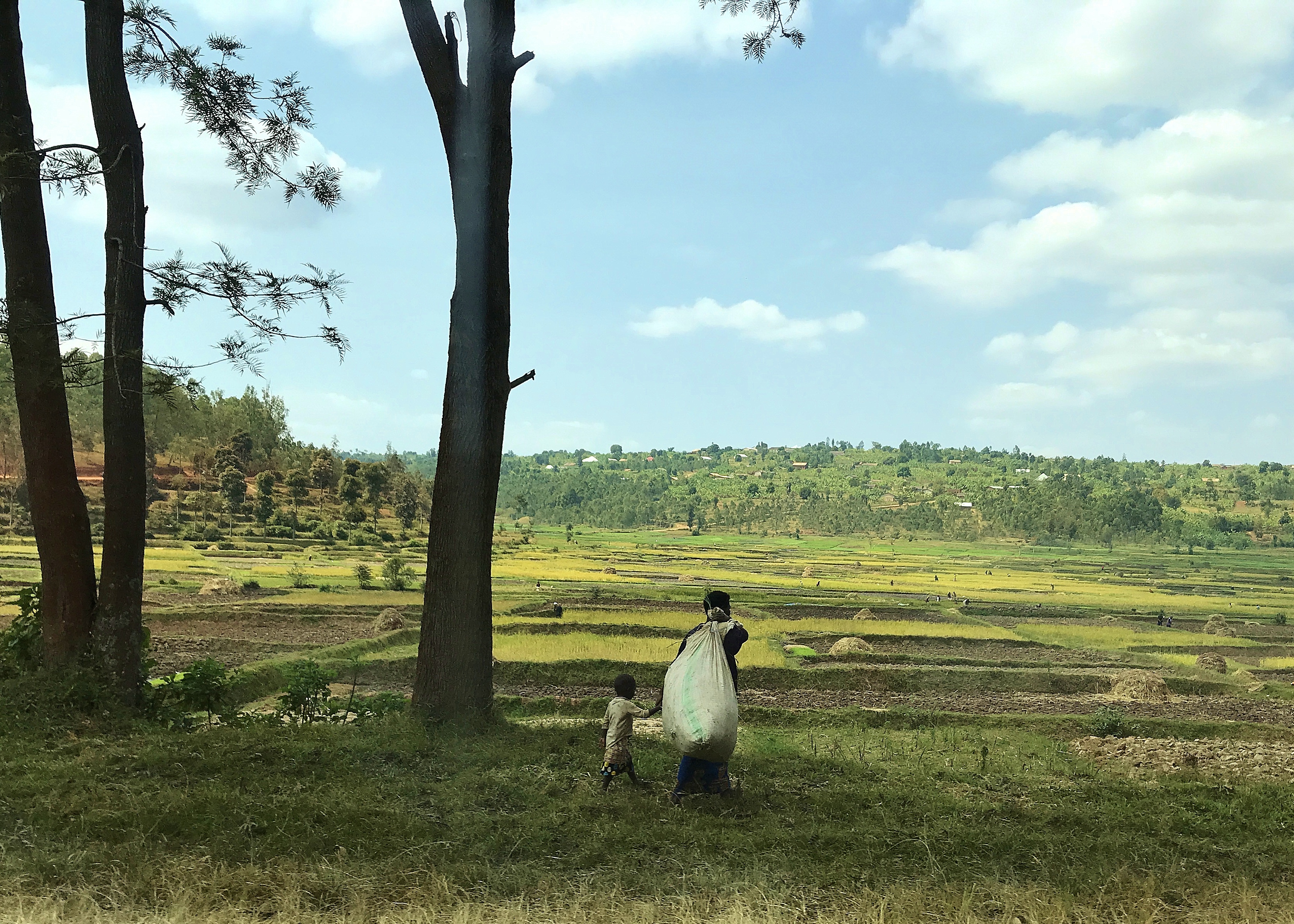
Renee Lynch - Muhanga, Rwanda

Renee Lynch - Muhanga, Rwanda

Renee Lynch - Muhanga, Rwanda

Renee Lynch - Muhanga, Rwanda
10 Landscape fields Lagendyk

beautiful Rwanda

Rwanda 2016

How do I look?

Rwanda -Gitarama

Rwanda - Gitarama

Rwanda- Gitarama

take a little time...

ELF_AF_Rwanda_AY16-17_Association of Teachers of English in Rwanda_Jordano-Kudalis_Highlight 12_Photo 1

ELF_AF_Rwanda_AY16-17_Association of Teachers of English in Rwanda_Jordano-Kudalis_Highlight 12_Photo 3

Building climate services capacity in Rwanda

Building climate services capacity in Rwanda

Jessica Griner - Muhanga, Rwanda

Jessica Griner - Muhanga, Rwanda

Jessica Griner - Muhanga, Rwanda

EL Fellows Co-Teaching Co-Teachers How to Co-Teach in Rwanda

EL Fellows Co-Teaching Co-Teachers How to Co-Teach in Rwanda
Topographic Map of Mushubati, Rwanda
Find elevation by address:

Places near Mushubati, Rwanda:
3a
Muhanga
Nyanza
Rwanda
Unnamed Road
Unnamed Road
Unnamed Road
Musasa
Akanyaru
Unnamed Road
Nyarugenge
Nyabugogo
Nyarugenge
Centenary House
Kigali City Tower
Kiyovu
Gakenke
Kigali
Kigali
Unnamed Road
Recent Searches:
- Elevation of Corso Fratelli Cairoli, 35, Macerata MC, Italy
- Elevation of Tallevast Rd, Sarasota, FL, USA
- Elevation of 4th St E, Sonoma, CA, USA
- Elevation of Black Hollow Rd, Pennsdale, PA, USA
- Elevation of Oakland Ave, Williamsport, PA, USA
- Elevation of Pedrógão Grande, Portugal
- Elevation of Klee Dr, Martinsburg, WV, USA
- Elevation of Via Roma, Pieranica CR, Italy
- Elevation of Tavkvetili Mountain, Georgia
- Elevation of Hartfords Bluff Cir, Mt Pleasant, SC, USA