Elevation of Murray, AR, USA
Location: United States > Arkansas > Newton County >
Longitude: -93.328818
Latitude: 35.9454453
Elevation: 570m / 1870feet
Barometric Pressure: 95KPa
Elevation Map:
Satellite Map:
Related Photos:

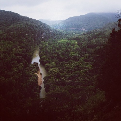
Roark Bluff
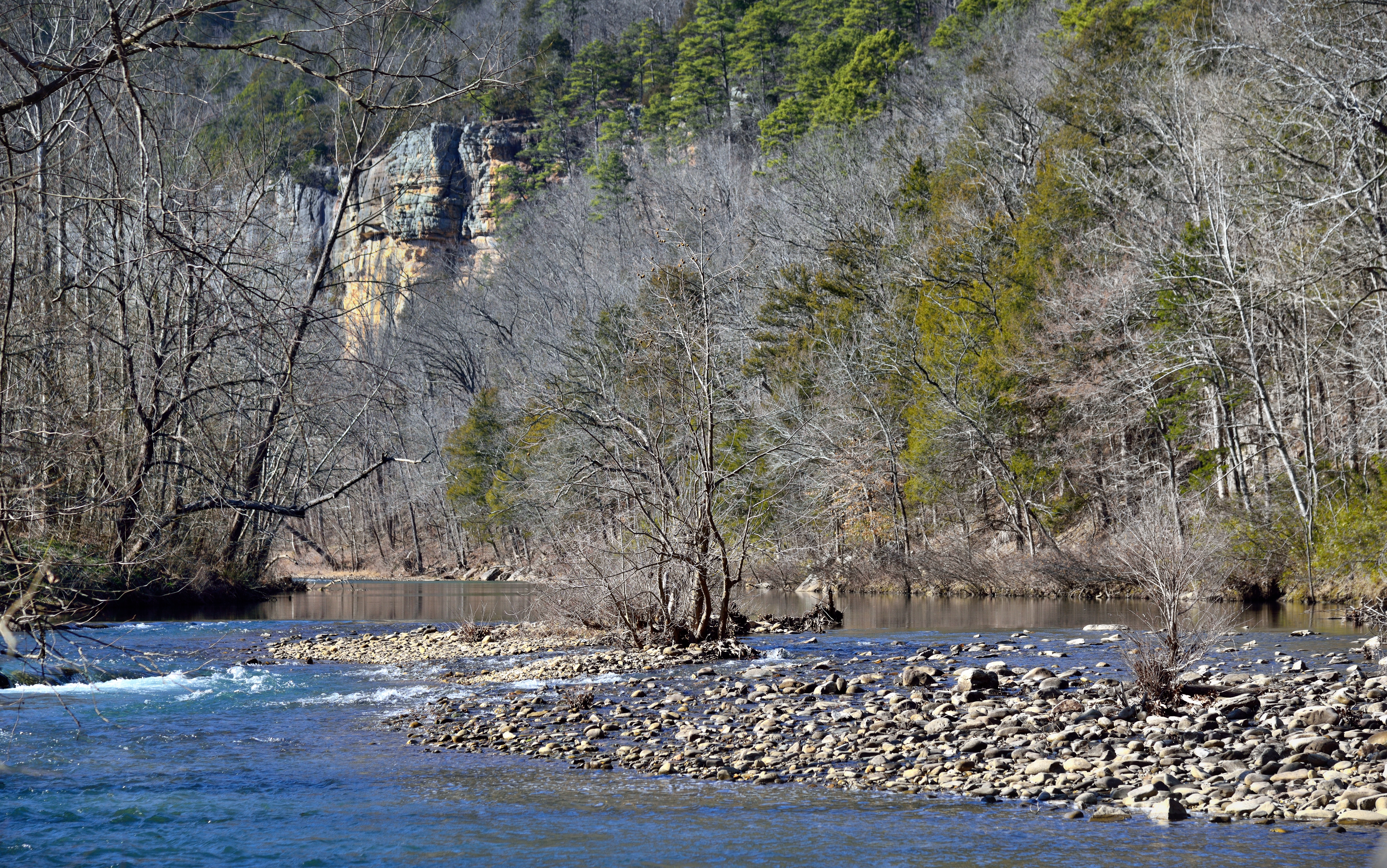
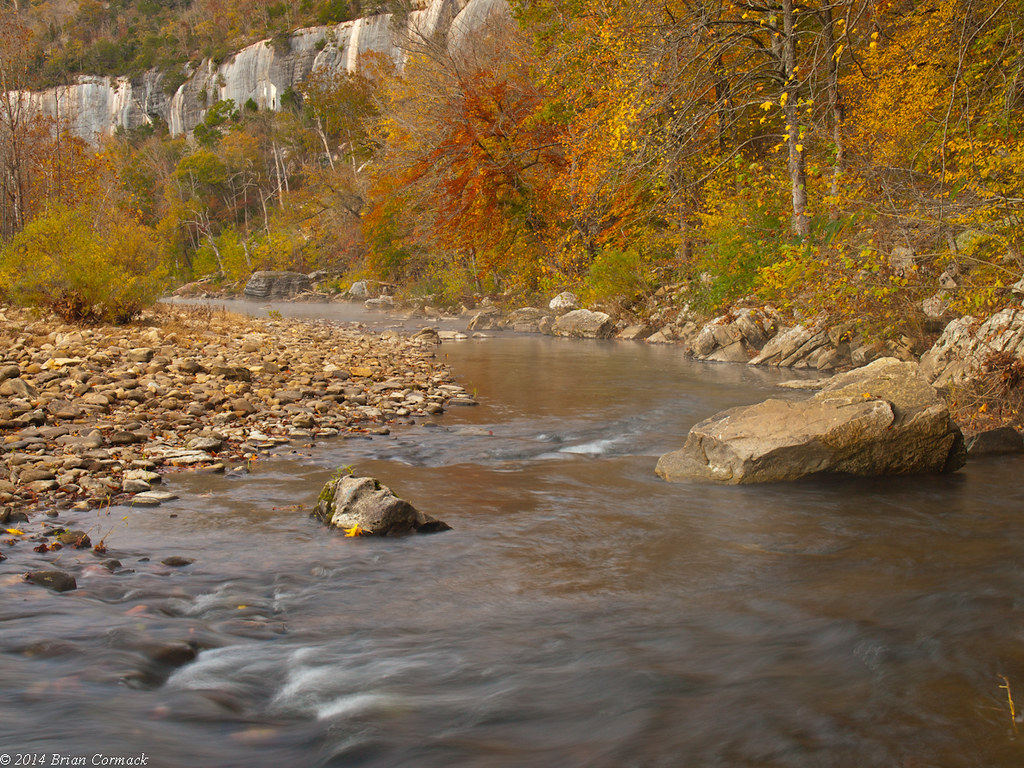
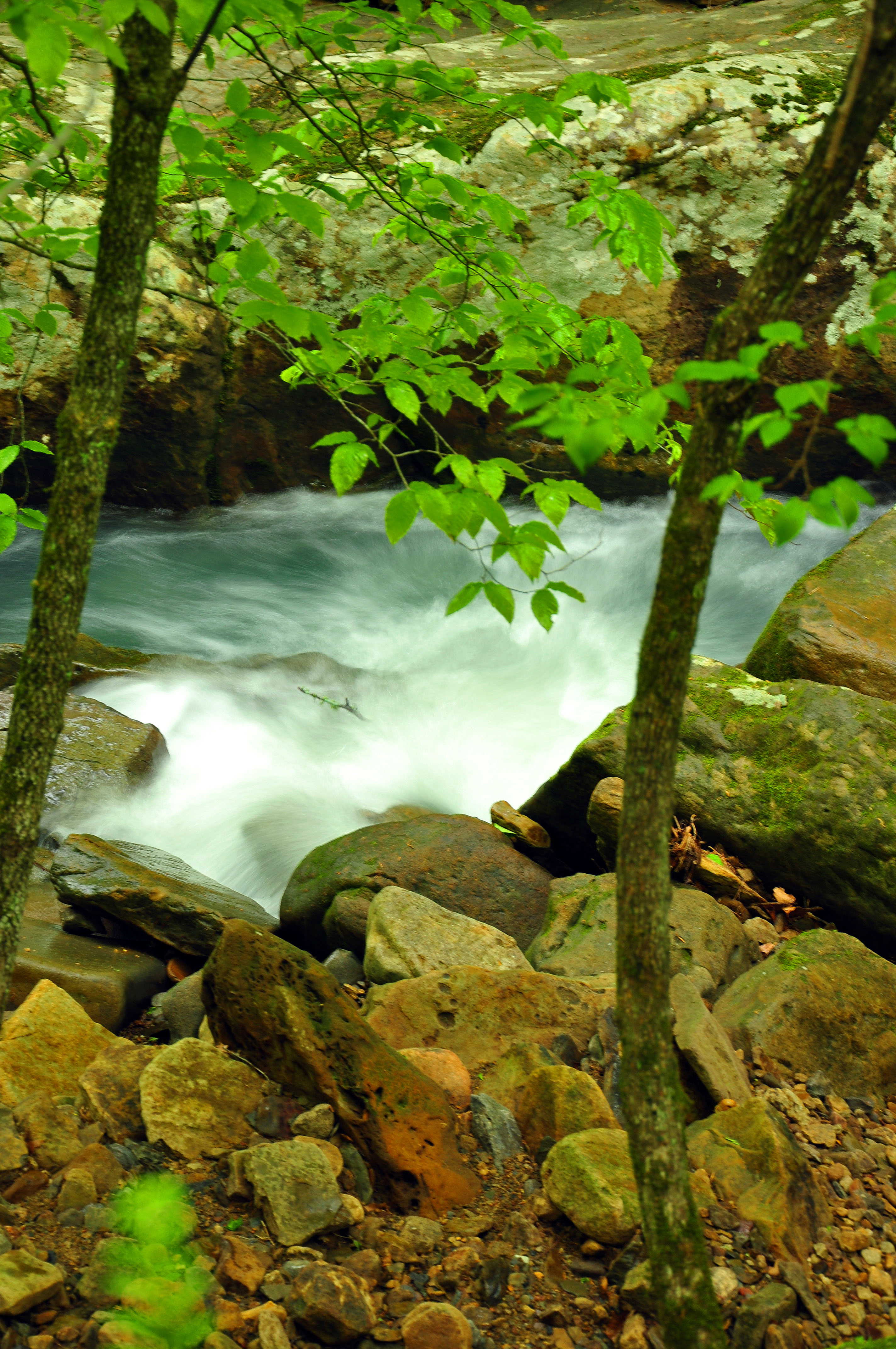
White Water Rapids and the Blue Waters of the Buffalo National River
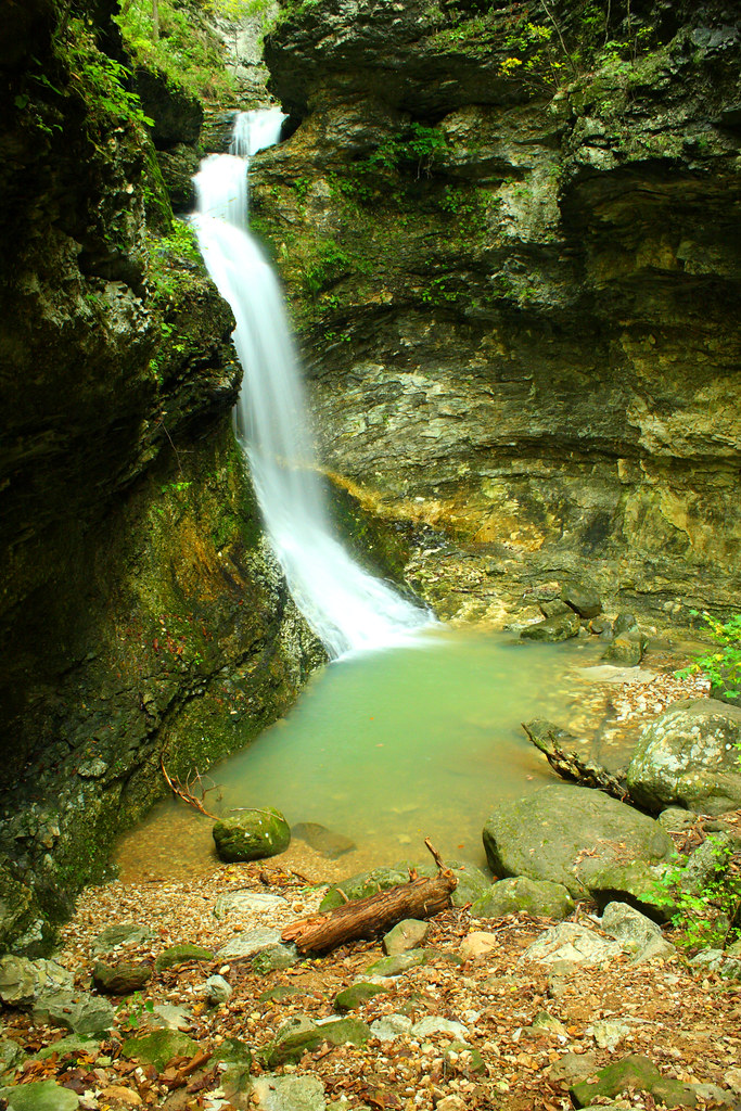
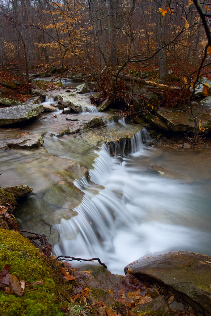
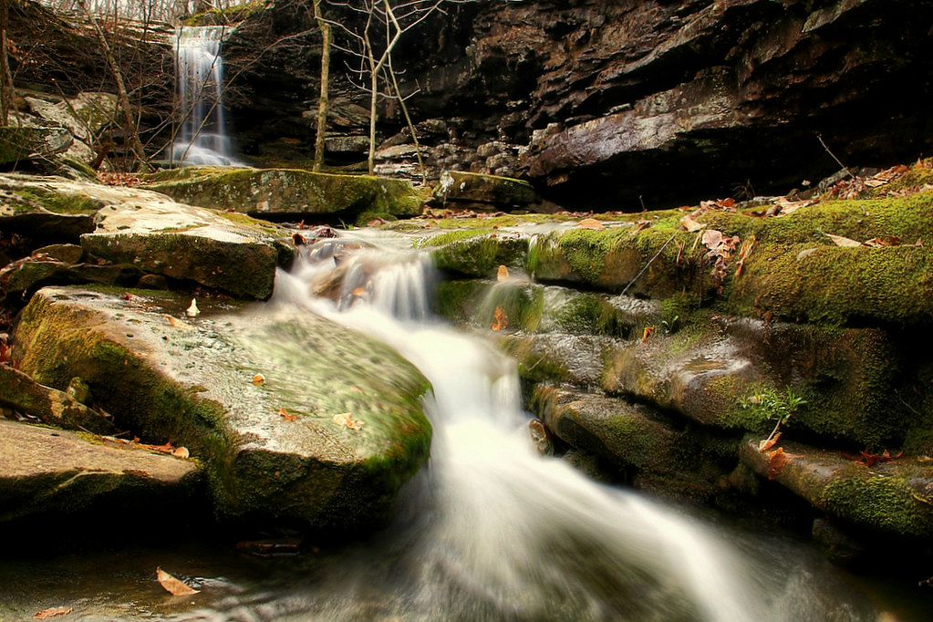
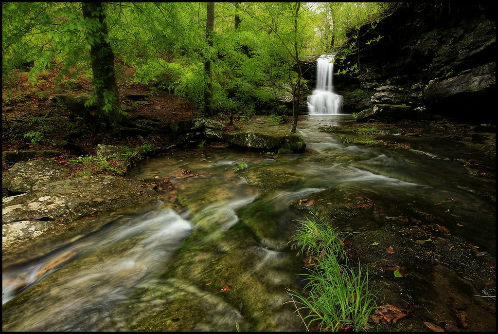
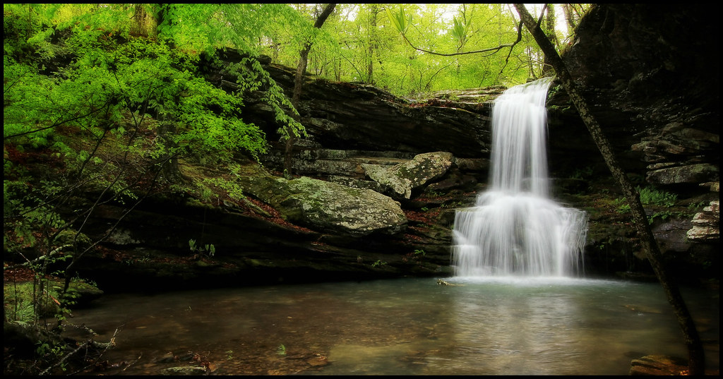
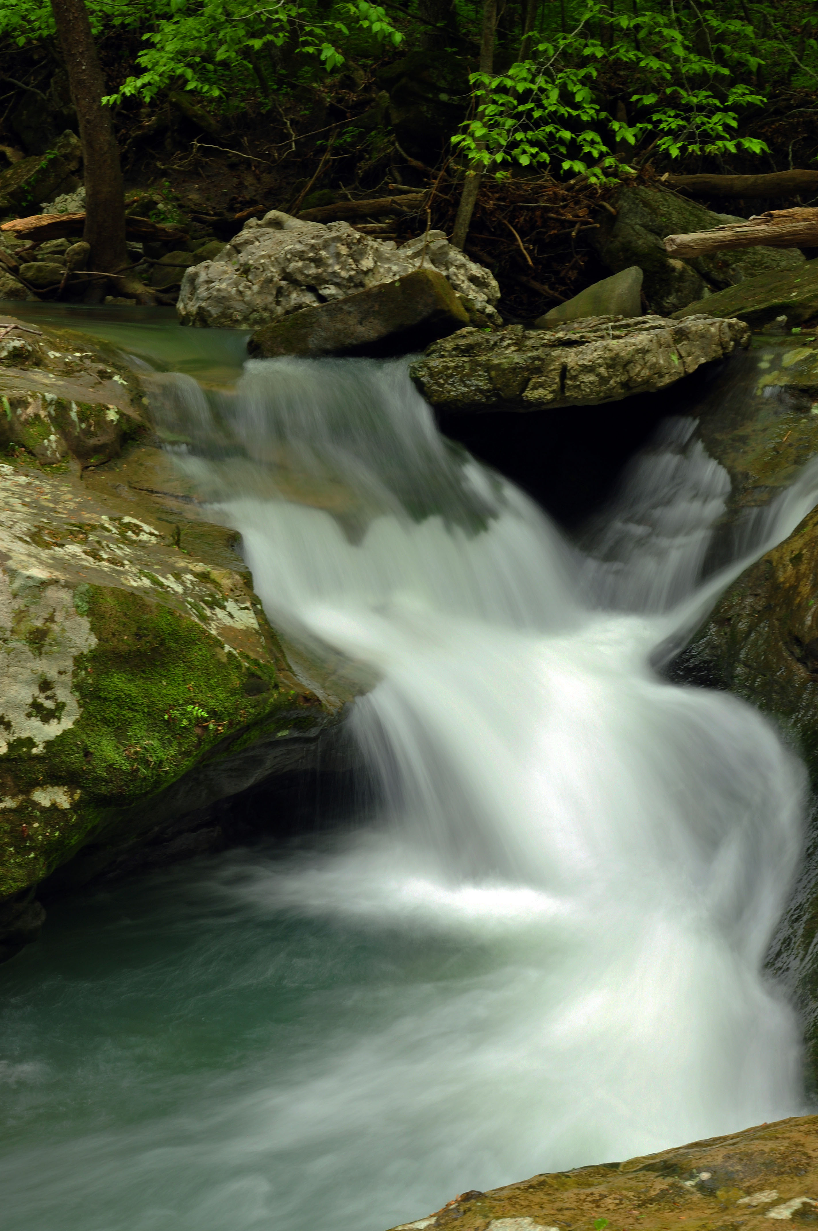
Upper Indian Creek Canyon Falls

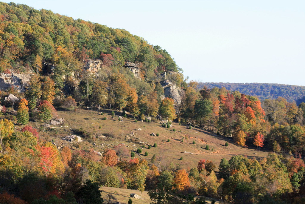
Boxley Valley Along the Buffalo River
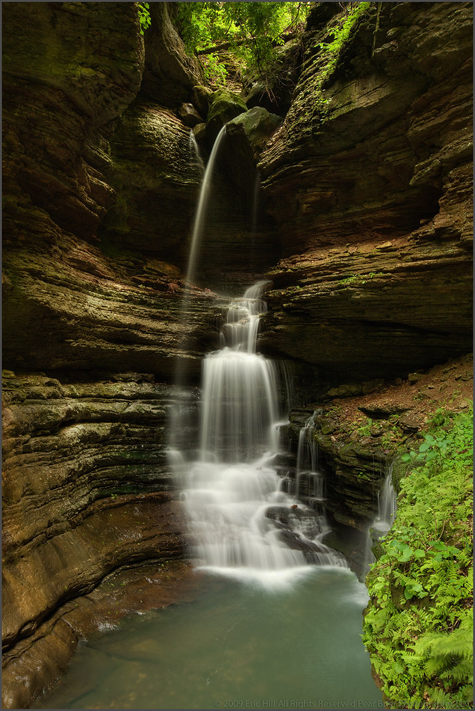
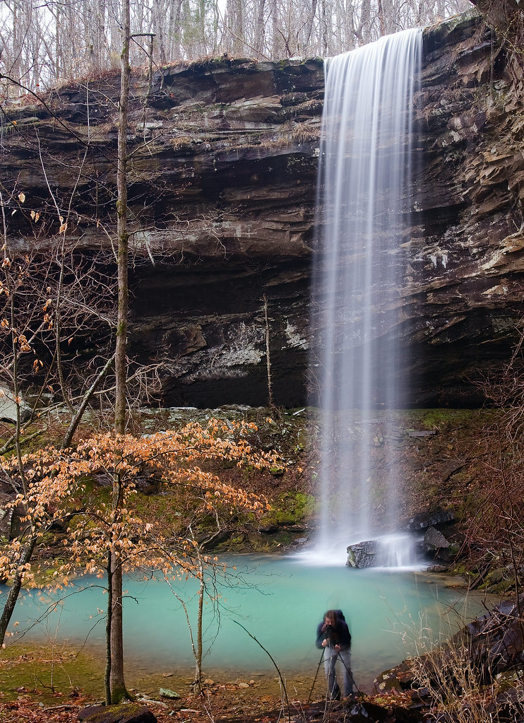
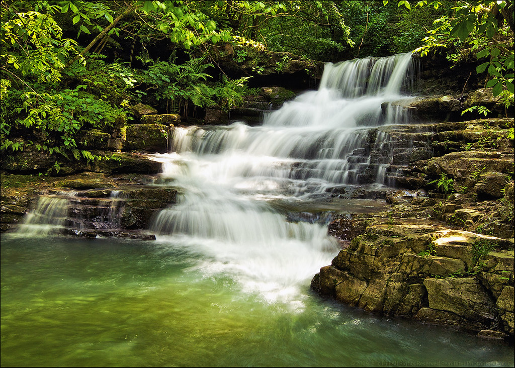
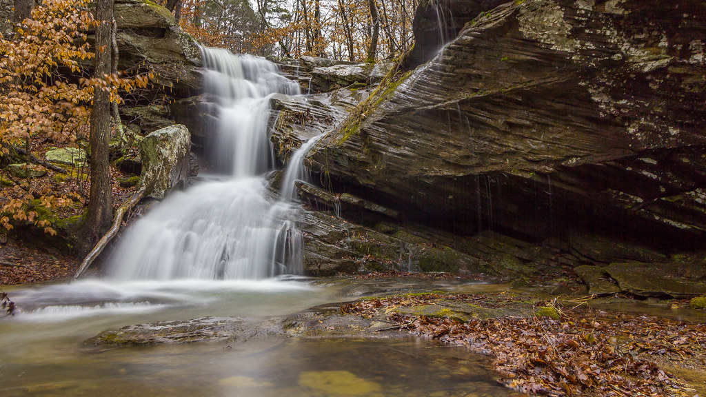
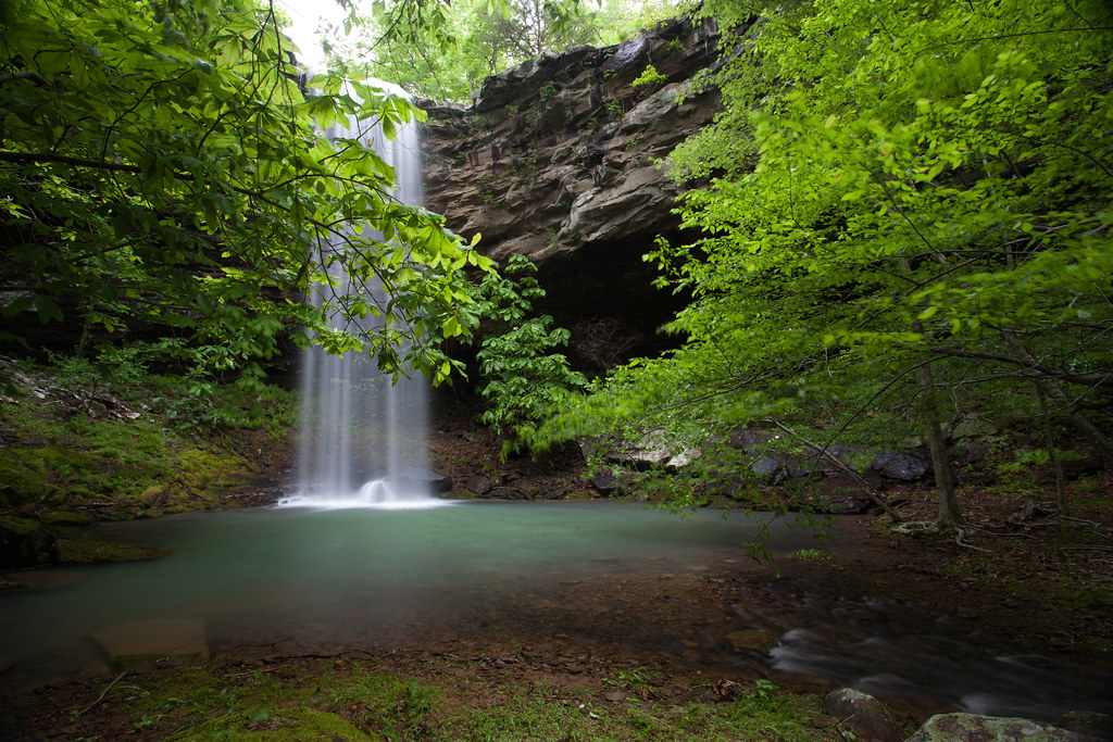
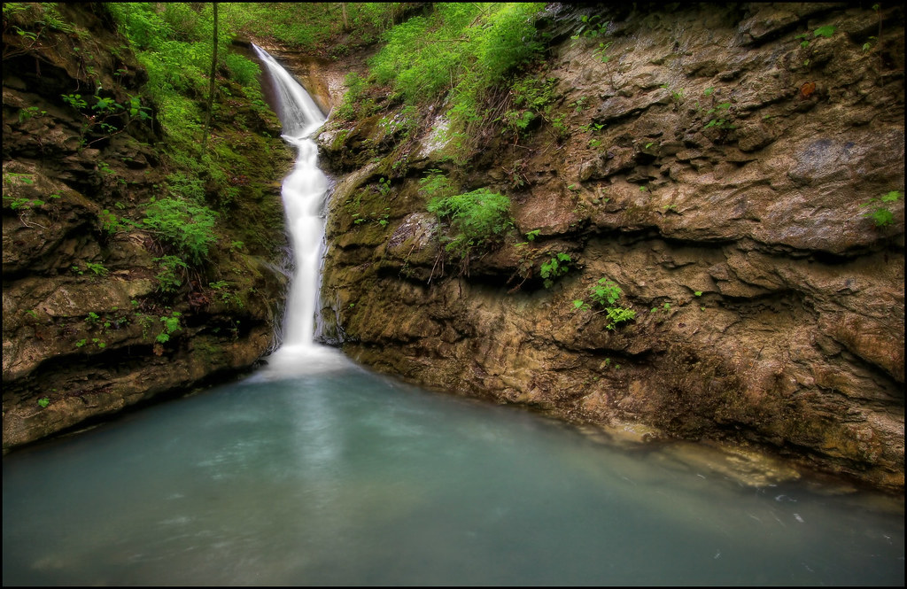
Tunnel Cave Falls
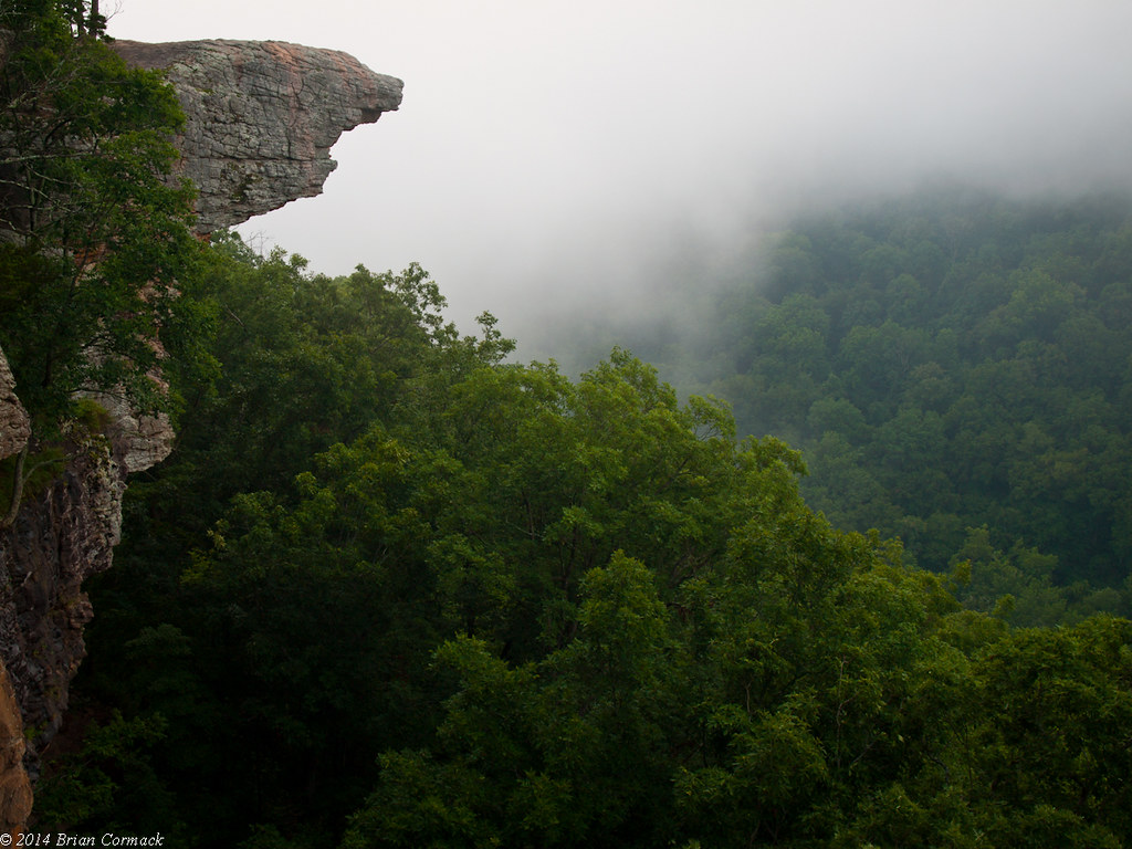
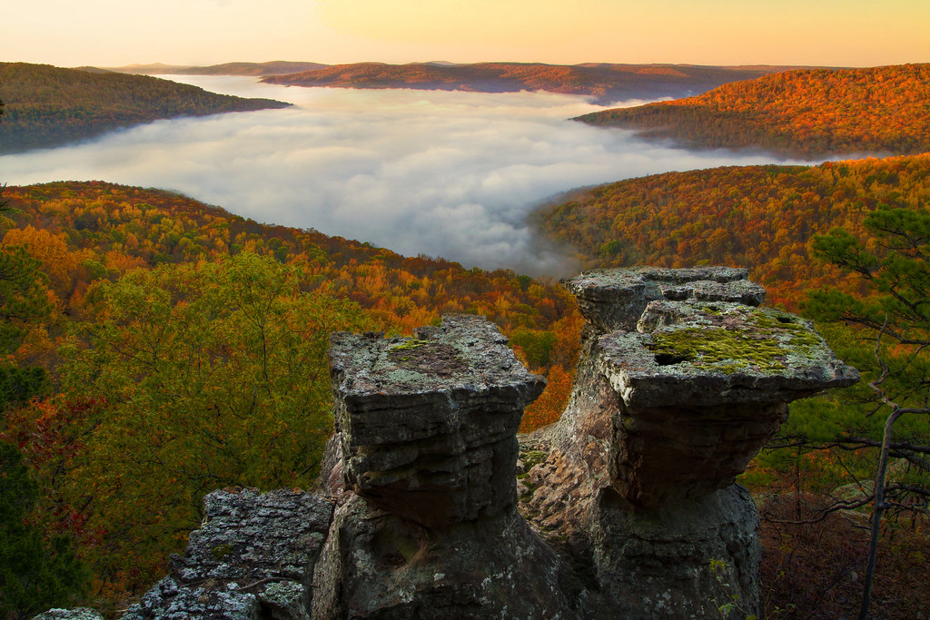
Hawksbill Crag
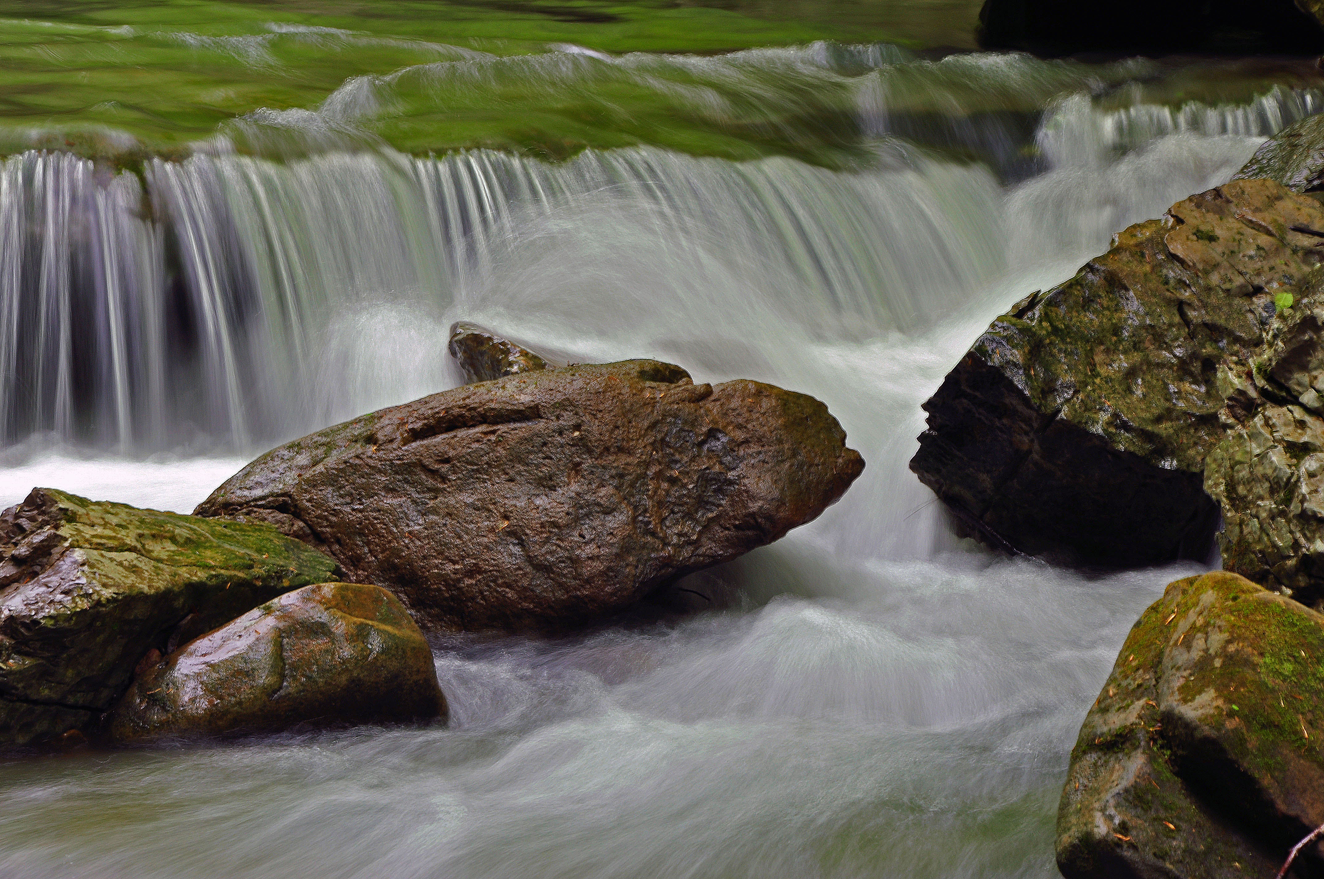
kinetic energy
The Buffalo

"If you don't climb the mountain, you can't enjoy the view"
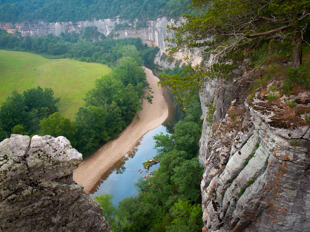
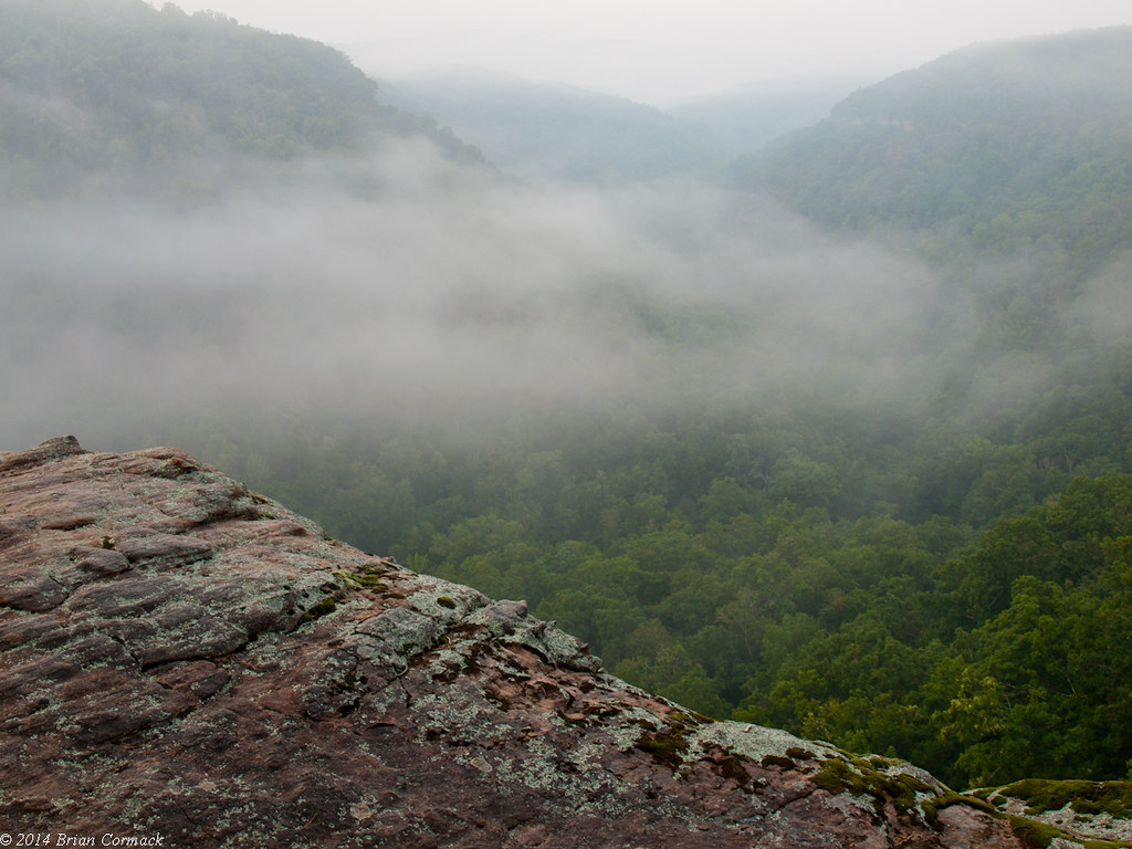
Roark Bluff
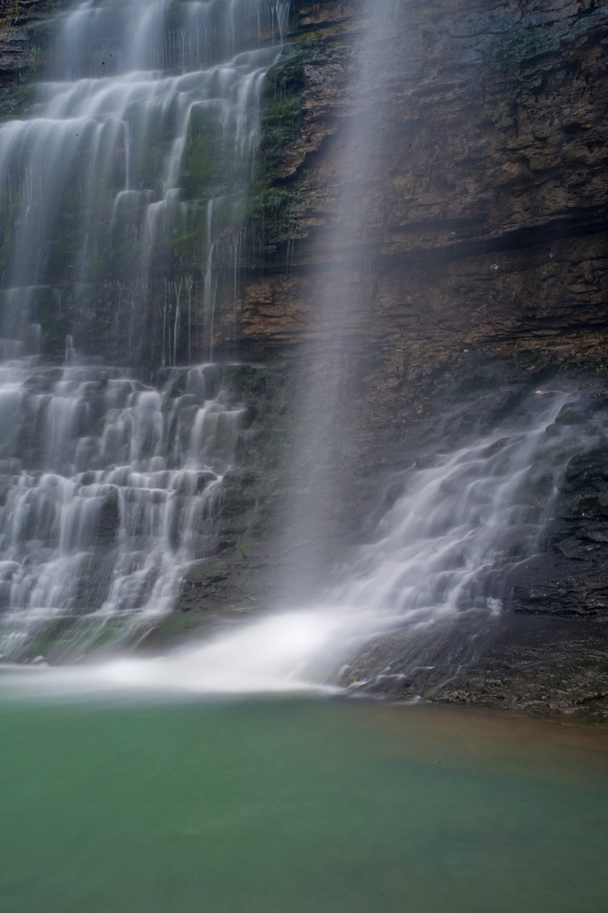
Waterfail - mediocre photo of a beautiful waterfall.
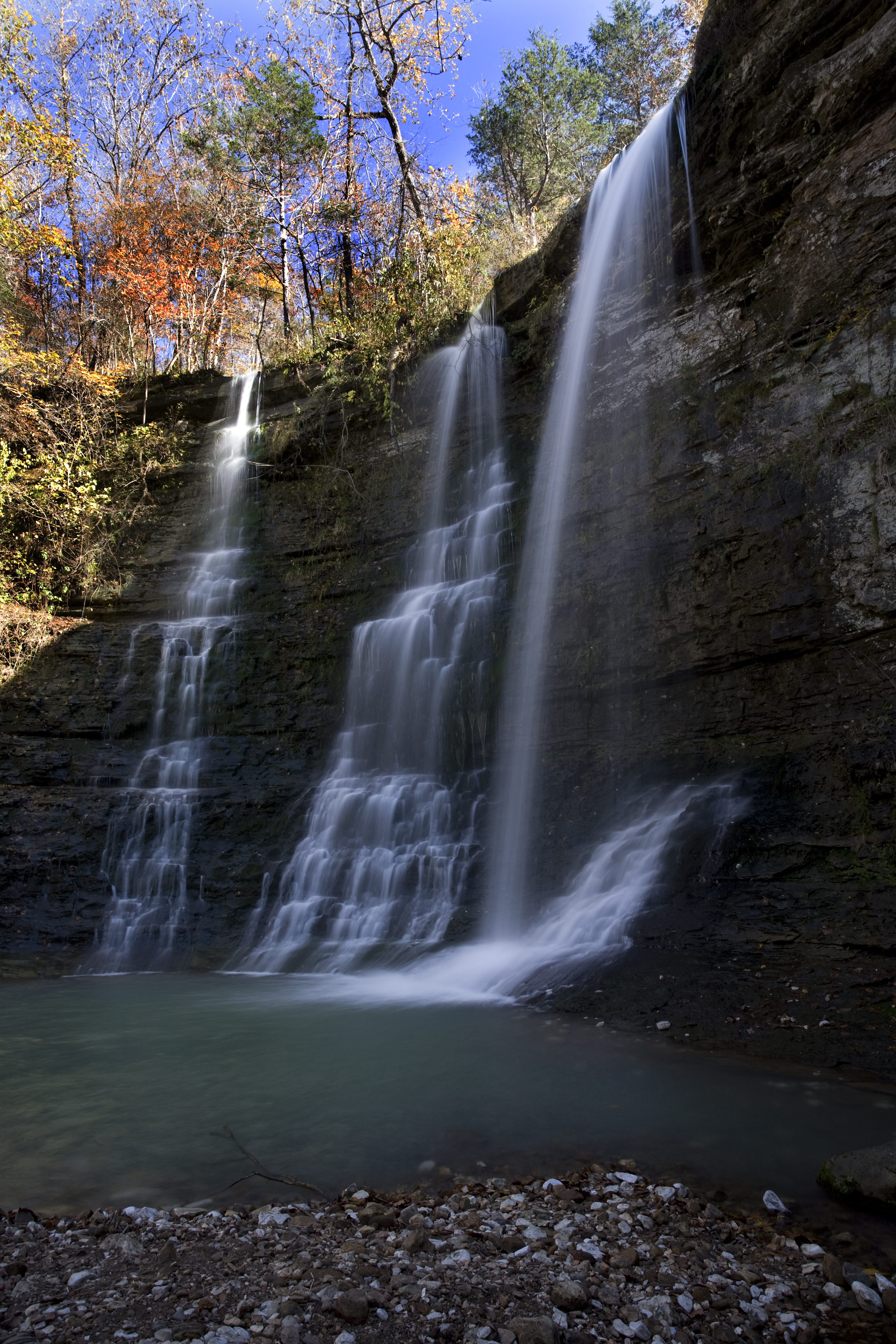
Triple Falls Perspective (Explored #474, 10/30/09)

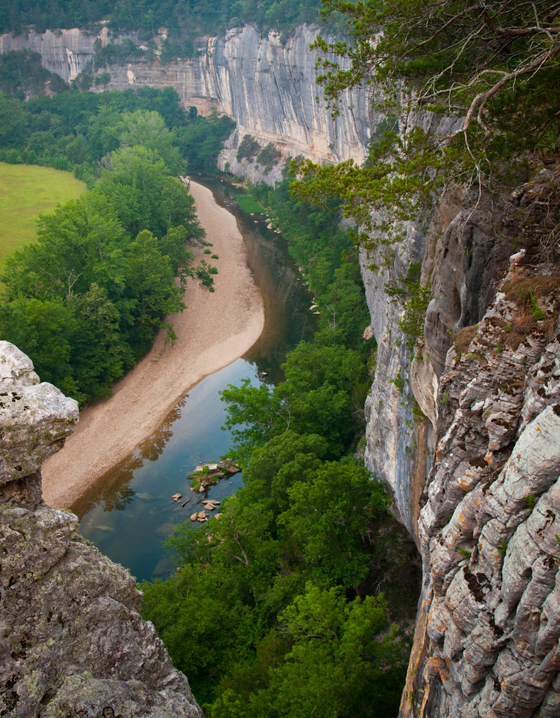
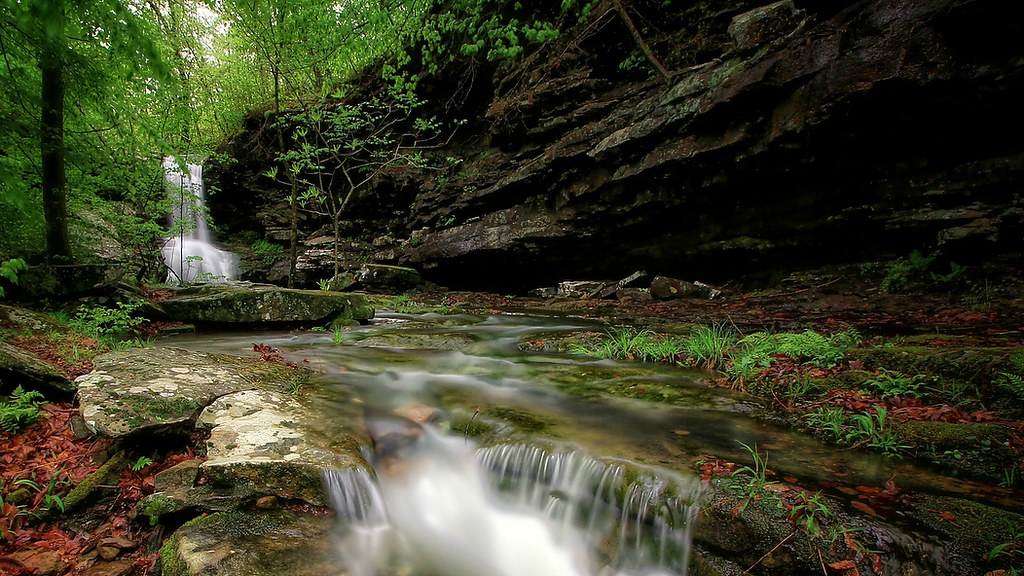
Indian Creek Canyon Falls
Making its way...
Hawksbill Crag
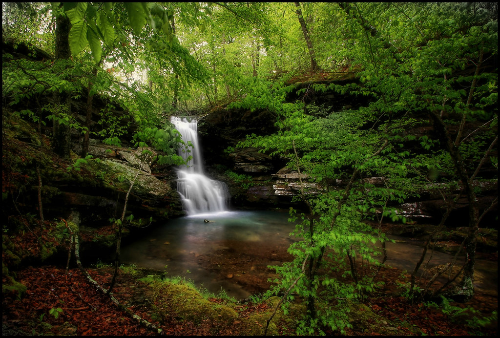
Proposal Falls
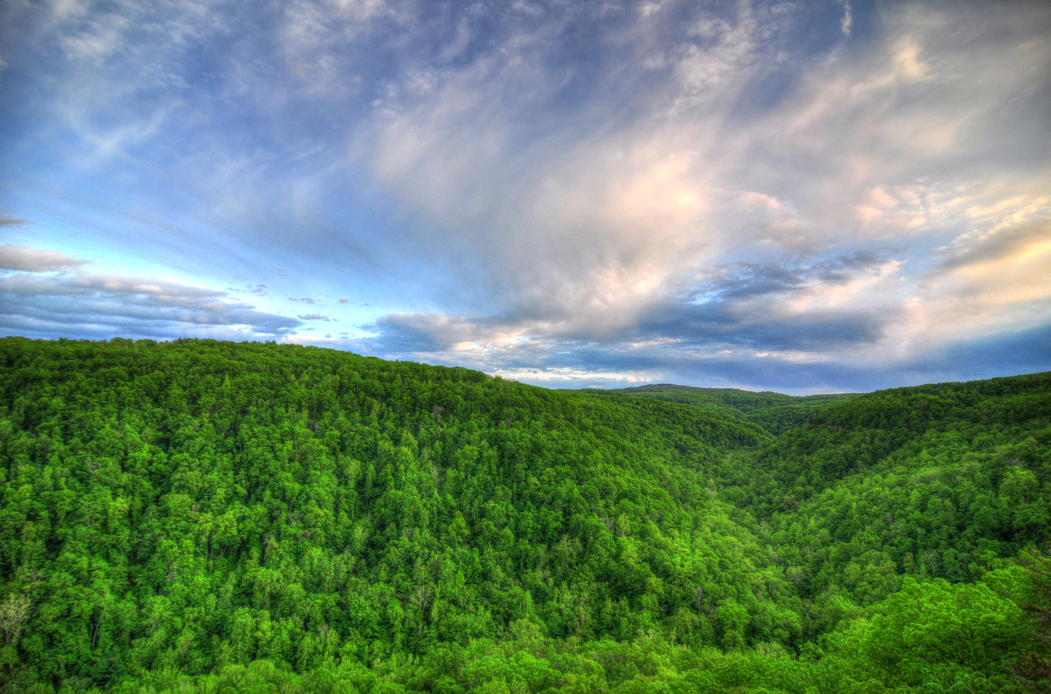
My view from the tallest bluff between the Appalachians and Rockies #vscocam
Rolling Fall Meadow
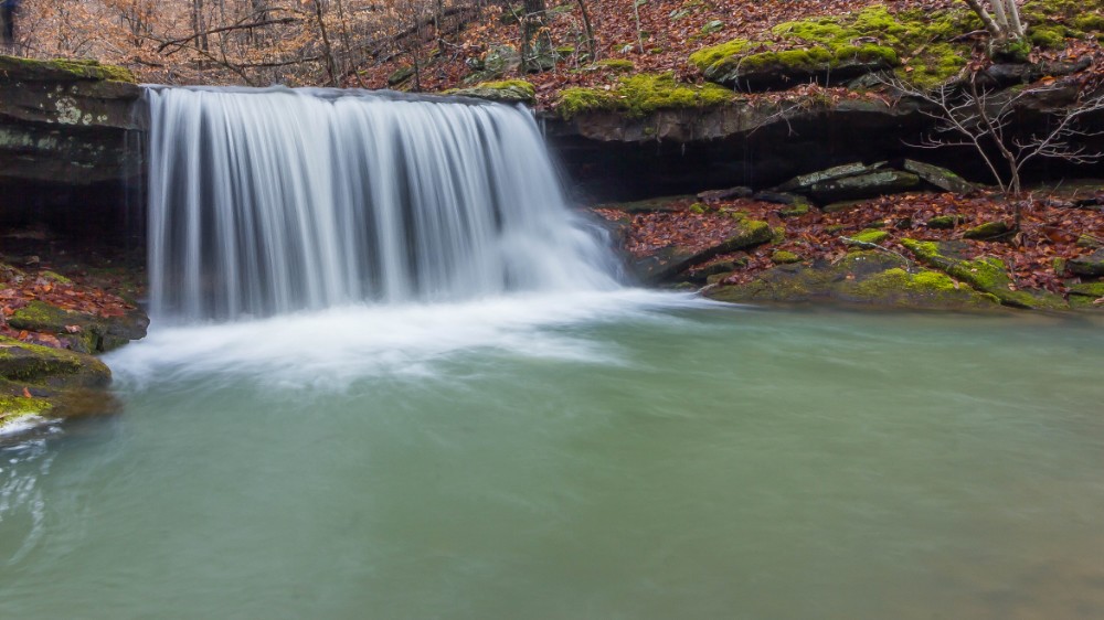
Copperhead Falls
Roark Bluff
Hawksbill Crag
downstream from Magnolia Falls
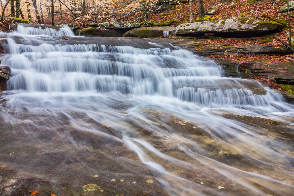
Stepp Creek Falls
Another one from Magnolia Falls
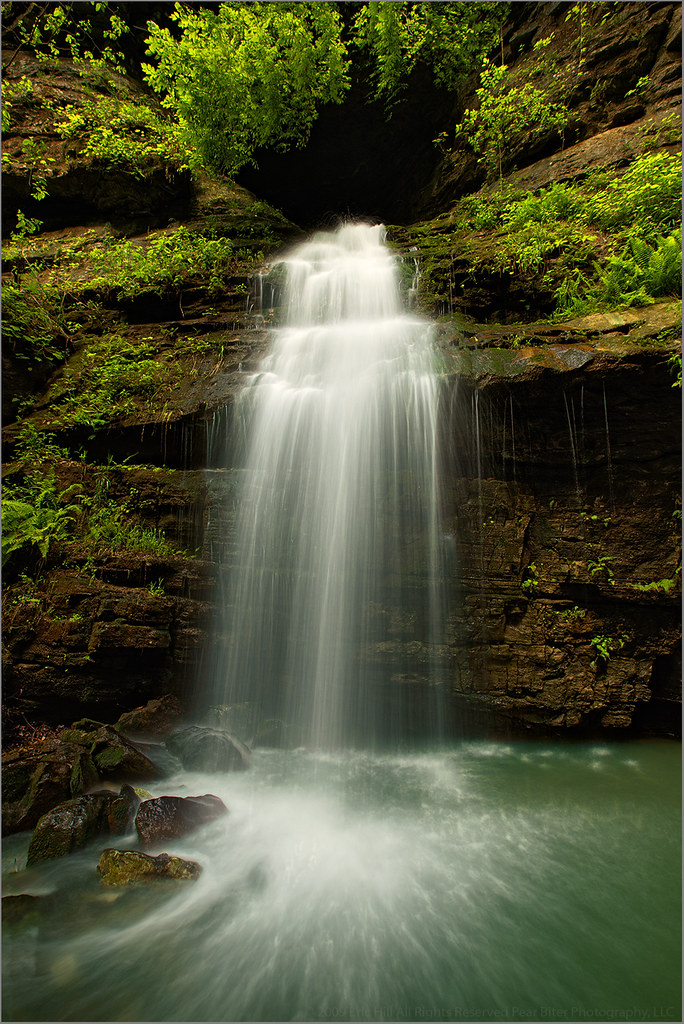
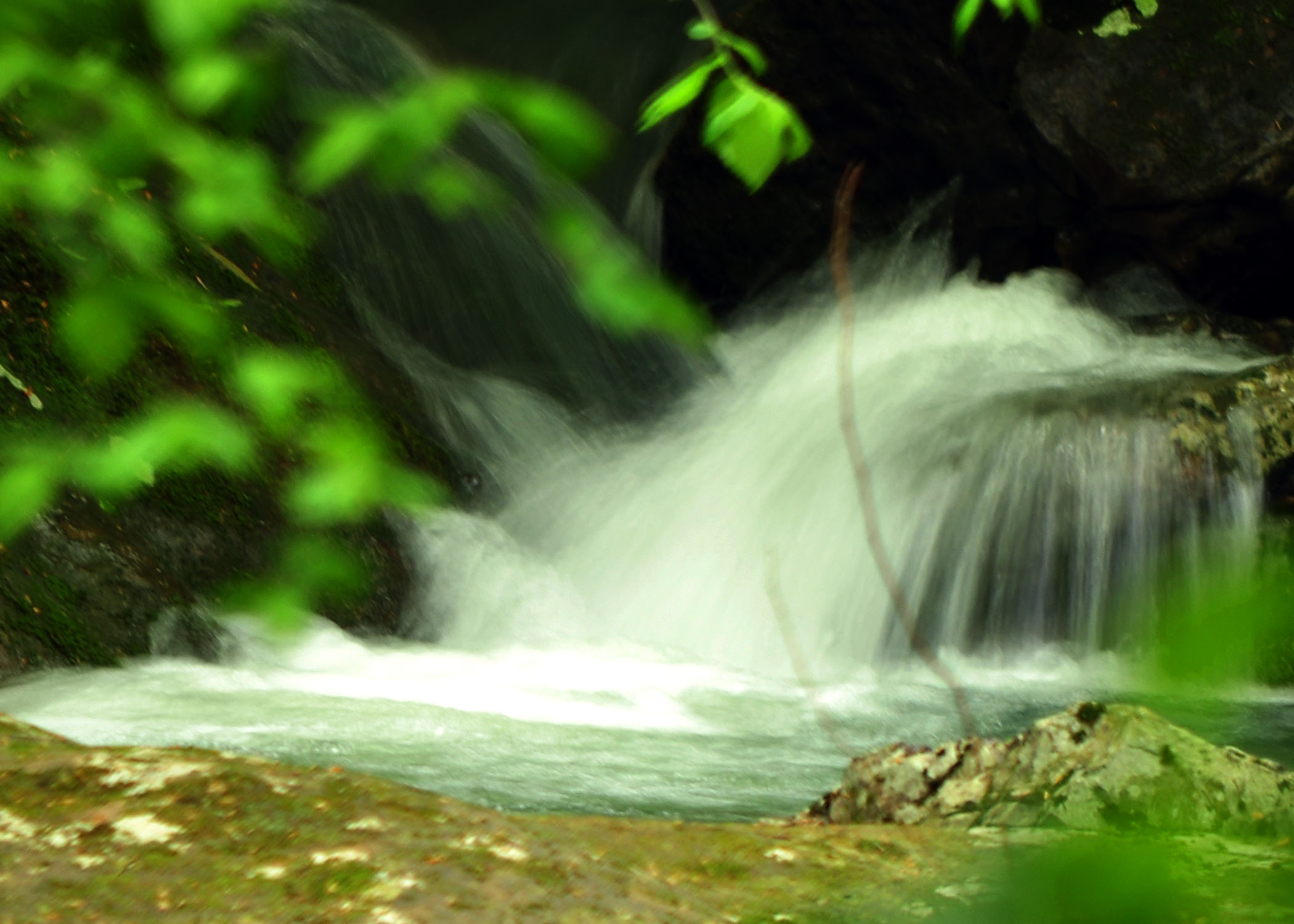
Magnolia Falls
Magnolia Falls
Big Sycamore Falls on Stepp Creek
Unnamed cascade on Stepp Creek
Right around the corner
another one from Magnolia Falls
Tea Table rocks
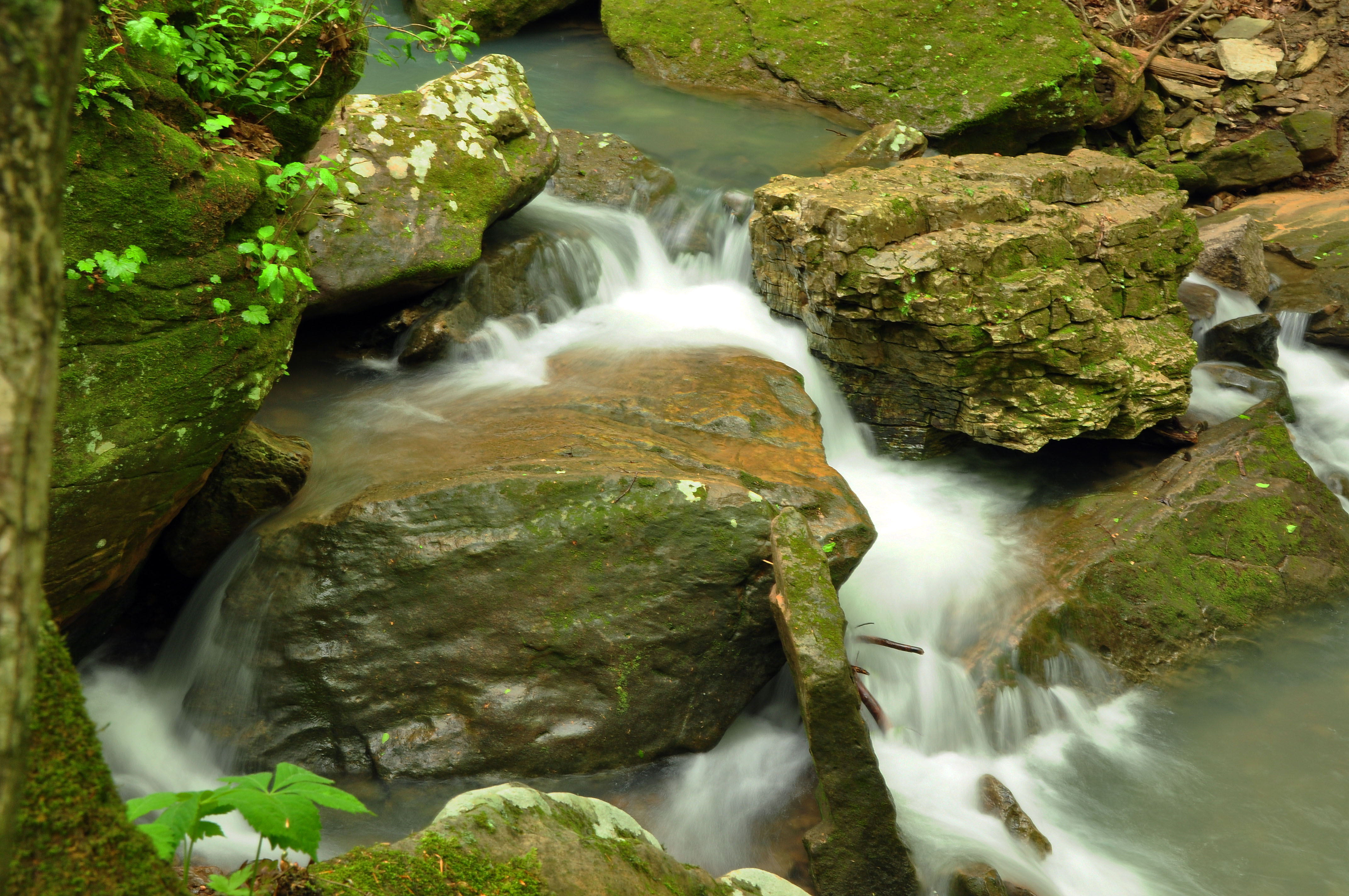
Smith Creek
Smith Creek in Flood
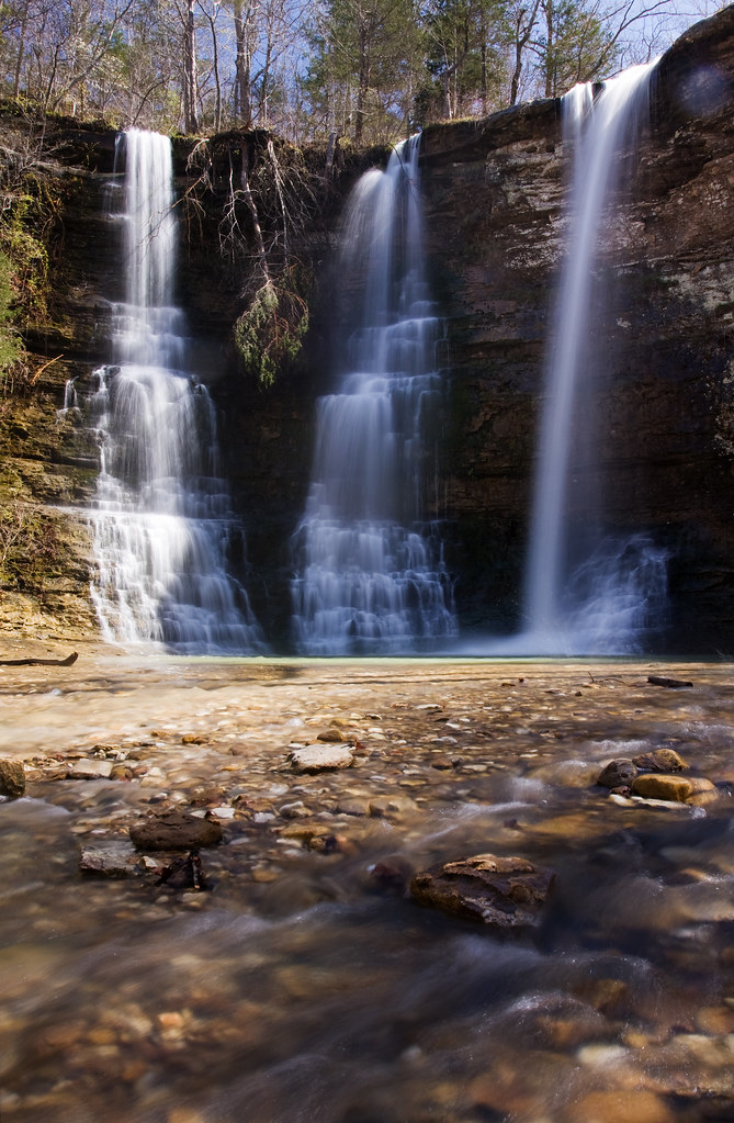
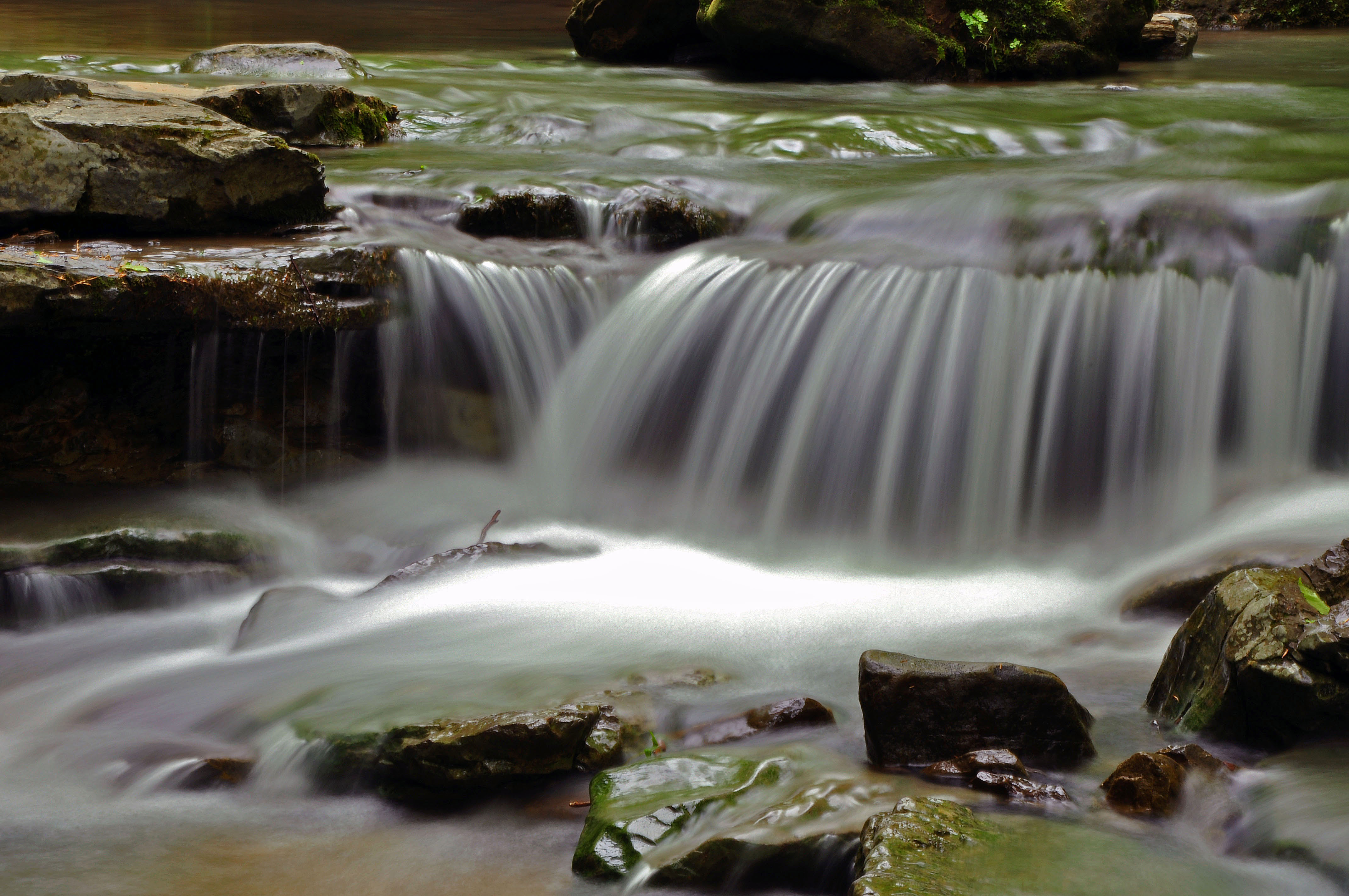
triple falls close up
Smith Creek
QuiVaLa Elise Falls
Triple Falls at the Bottom
Smith Creek Boulders
Hidden Waterfall
Smith Creek
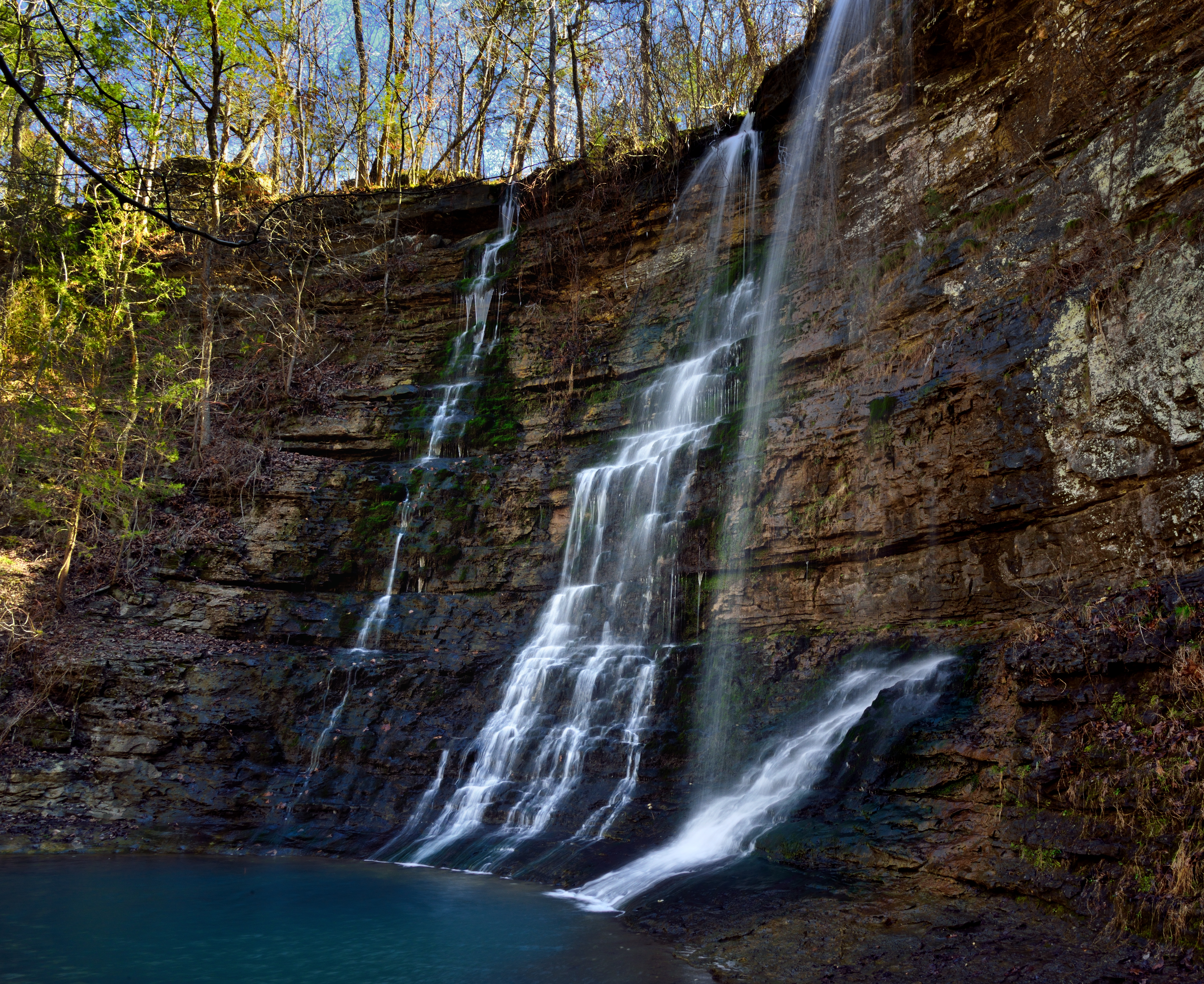
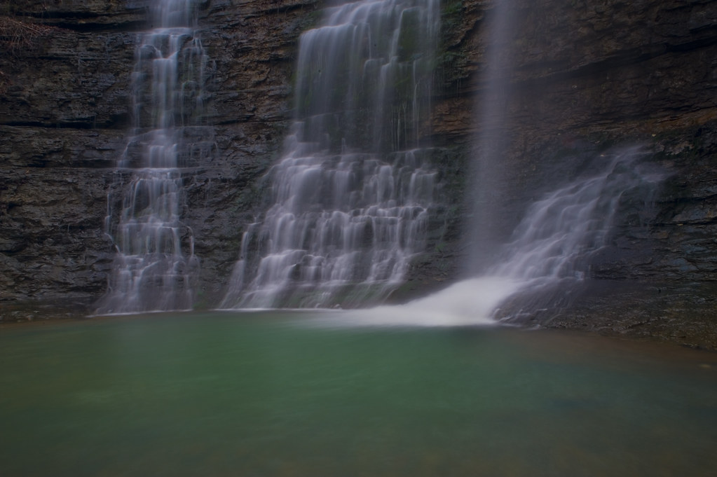
Triple Falls (Buffalo National River)
Topographic Map of Murray, AR, USA
Find elevation by address:

Places in Murray, AR, USA:
Places near Murray, AR, USA:
Beckham Creek Cave House
Beckham Creek
Murray Road
Shiloh Mountain
Low Gap Cafe
Walker Mountain Road
Lost Valley Trailhead
Hudson Township
Van Buren Township
Ponca
Parthenon
Wolf Springs Rd, Harrison, AR, USA
Lost Valley Canoe & Lodging
Ponca Township
Jasper, AR, USA
10 Green Oaks Pl, Kingston, AR, USA
County Road 22
Gum Springs Road
Newton County Recycling Center
Mt Sherman Assembly Of God
Recent Searches:
- Elevation of Corso Fratelli Cairoli, 35, Macerata MC, Italy
- Elevation of Tallevast Rd, Sarasota, FL, USA
- Elevation of 4th St E, Sonoma, CA, USA
- Elevation of Black Hollow Rd, Pennsdale, PA, USA
- Elevation of Oakland Ave, Williamsport, PA, USA
- Elevation of Pedrógão Grande, Portugal
- Elevation of Klee Dr, Martinsburg, WV, USA
- Elevation of Via Roma, Pieranica CR, Italy
- Elevation of Tavkvetili Mountain, Georgia
- Elevation of Hartfords Bluff Cir, Mt Pleasant, SC, USA