Elevation map of Munaily District, Kazakhstan
Location: Kazakhstan > Mangystau Province >
Longitude: 51.5206204
Latitude: 43.7880044
Elevation: 19m / 62feet
Barometric Pressure: 101KPa
Elevation Map:
Satellite Map:
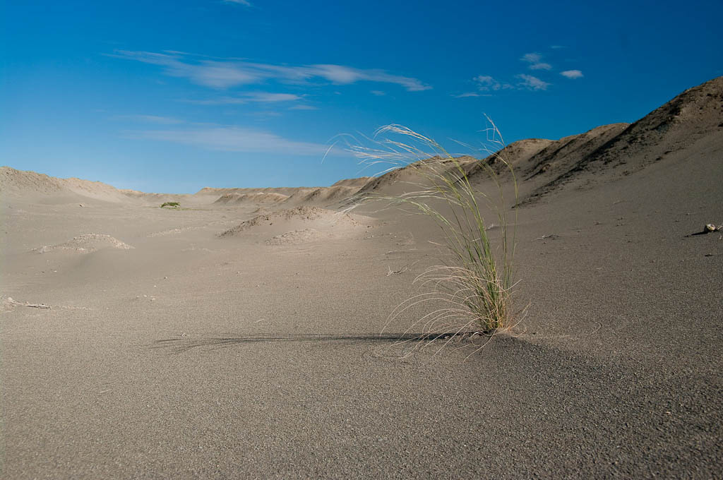
Related Photos:

Une oasis d'eau salee...
Meme dans les vieilles carrieres d'uranium la vie reprend ses droits.

La traversee d'une ancienne carriere d'uranium

Ici les lacs sont plus sales que la mer !

A7-CEG (21)
Topographic Map of Munaily District, Kazakhstan
Find elevation by address:

Places in Munaily District, Kazakhstan:
Places near Munaily District, Kazakhstan:
Recent Searches:
- Elevation of Corso Fratelli Cairoli, 35, Macerata MC, Italy
- Elevation of Tallevast Rd, Sarasota, FL, USA
- Elevation of 4th St E, Sonoma, CA, USA
- Elevation of Black Hollow Rd, Pennsdale, PA, USA
- Elevation of Oakland Ave, Williamsport, PA, USA
- Elevation of Pedrógão Grande, Portugal
- Elevation of Klee Dr, Martinsburg, WV, USA
- Elevation of Via Roma, Pieranica CR, Italy
- Elevation of Tavkvetili Mountain, Georgia
- Elevation of Hartfords Bluff Cir, Mt Pleasant, SC, USA