Elevation of Mull Farm, R Rd, Pawnee Rock, KS, USA
Location: United States > Kansas > Pawnee County > River >
Longitude: -99.001058
Latitude: 38.228355
Elevation: 597m / 1959feet
Barometric Pressure: 94KPa
Elevation Map:
Satellite Map:
Related Photos:

Pawnee Rock- Barton County KS (20)

Pawnee Rock- Barton County KS (3)

Pawnee Rock- Barton County KS (18)

Pawnee Rock- Barton County KS (21)

Pawnee Rock- Barton County KS (9)

Pawnee Rock- Barton County KS (17)

Pawnee Rock- Barton County KS (10)

Pawnee Rock- Barton County KS (16)
Pawnee Rock- Barton County KS (6)

Pawnee Rock- Barton County KS (14)

Pawnee Rock- Barton County KS (8)

Pawnee Rock- Barton County KS (2)

Pawnee Rock- Barton County KS (15)

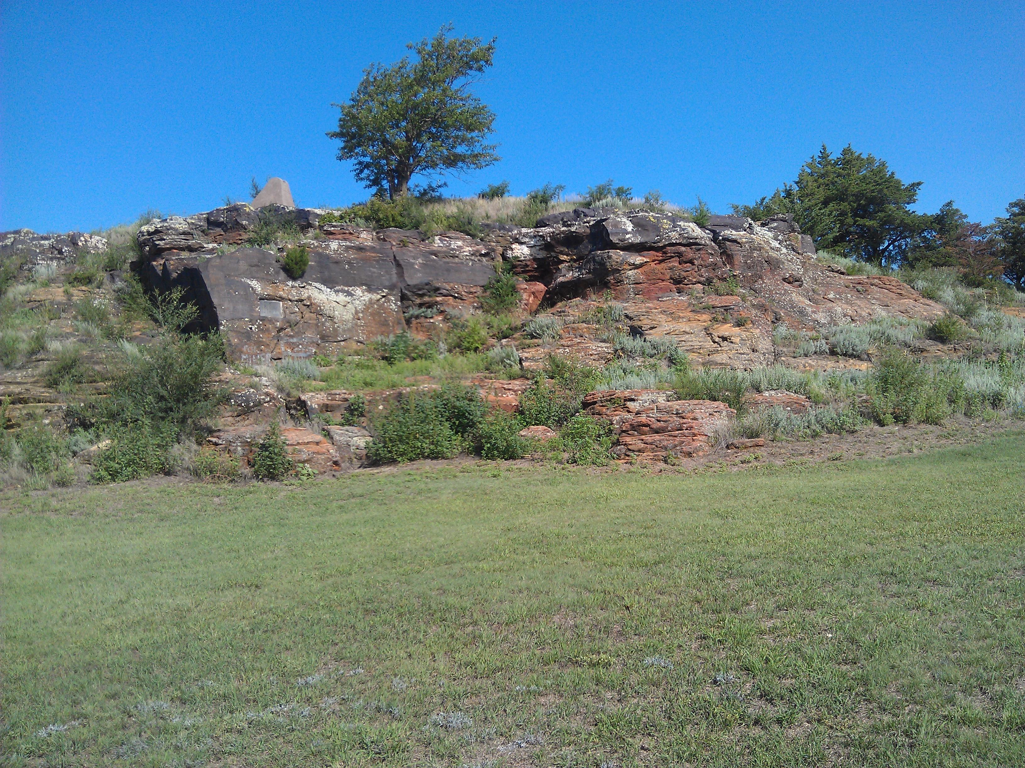
Pawnee Rock

The View From Pawnee Rock, Kansas

Spiral Staircase

The View To The Northwest

The View To The Northeast

Former Pawnee County Courthouse

Breakfast Table View

5. An up-close view of the same dilapidated home, Dundee, 10-5-16

Pawnee Rock

Highest Point Around

Pawnee Rock

3991 -Pawnee Rock

Just have to love the open view in Kansas. Never a dull screney

3992 -Pawnee Rock

3993 -Pawnee Rock

Weak Tornado

Santa Fe Trail Marker

Buffalo Silhouette

Marking the Rock

Silo Sunrise

Country Sunrise

The end of the 2011 "chase" trip

IMG_0041 001.jpg

3999 -Pawnee Rock, KS

15. The actual Pawnee Rock, on the Santa Fe Trail, 10-11-16
Topographic Map of Mull Farm, R Rd, Pawnee Rock, KS, USA
Find elevation by address:

Places near Mull Farm, R Rd, Pawnee Rock, KS, USA:
River
Atra Service Center
US-56, Great Bend, KS, USA
Liberty
Barton County
Great Bend
Pawnee County
Stafford County
Otis
Pioneer
Eagle Ave, Otis, KS, USA
US-, Hoisington, KS, USA
South Homestead
Hoisington
1506 N Center St
1503 Random Rd
1530 Random Rd
US-, Garfield, KS, USA
Rush County
Ellinwood
Recent Searches:
- Elevation of Corso Fratelli Cairoli, 35, Macerata MC, Italy
- Elevation of Tallevast Rd, Sarasota, FL, USA
- Elevation of 4th St E, Sonoma, CA, USA
- Elevation of Black Hollow Rd, Pennsdale, PA, USA
- Elevation of Oakland Ave, Williamsport, PA, USA
- Elevation of Pedrógão Grande, Portugal
- Elevation of Klee Dr, Martinsburg, WV, USA
- Elevation of Via Roma, Pieranica CR, Italy
- Elevation of Tavkvetili Mountain, Georgia
- Elevation of Hartfords Bluff Cir, Mt Pleasant, SC, USA