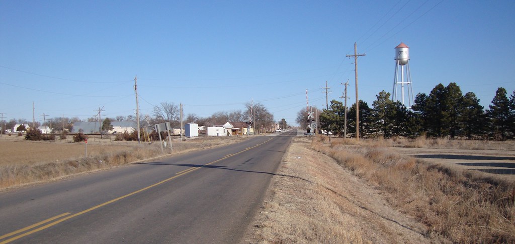
Elevation of Eagle Ave, Otis, KS, USA
Location: United States > Kansas > Rush County > Pioneer > Otis >
Longitude: -99.054091
Latitude: 38.5381485
Elevation: 622m / 2041feet
Barometric Pressure: 94KPa
Elevation Map:
Satellite Map:
Related Photos:

Light Blue

20120526-IMG_6475
Otis, Kansas
Topographic Map of Eagle Ave, Otis, KS, USA
Find elevation by address:

Places near Eagle Ave, Otis, KS, USA:
Otis
Pioneer
Rush County
1506 N Center St
1530 Random Rd
1503 Random Rd
Hoisington
US-56, Great Bend, KS, USA
US-, Hoisington, KS, USA
South Homestead
Wheatland
Liberty
Mull Farm
Victoria
1213 Hickory St
Great Bend
Barton County
Petersburg St, Hays, KS, USA
River
Old Hwy 40, Hays, KS, USA
Recent Searches:
- Elevation of Corso Fratelli Cairoli, 35, Macerata MC, Italy
- Elevation of Tallevast Rd, Sarasota, FL, USA
- Elevation of 4th St E, Sonoma, CA, USA
- Elevation of Black Hollow Rd, Pennsdale, PA, USA
- Elevation of Oakland Ave, Williamsport, PA, USA
- Elevation of Pedrógão Grande, Portugal
- Elevation of Klee Dr, Martinsburg, WV, USA
- Elevation of Via Roma, Pieranica CR, Italy
- Elevation of Tavkvetili Mountain, Georgia
- Elevation of Hartfords Bluff Cir, Mt Pleasant, SC, USA