Elevation of Mukkuzhy, Koruthodu, Kerala, India
Location: India > Kerala > Pathanamthitta > Perunad >
Longitude: 76.9657463
Latitude: 9.4488097
Elevation: 209m / 686feet
Barometric Pressure: 99KPa
Elevation Map:
Satellite Map:
Related Photos:

K5IIs-050217-020

K5IIs-050217-019
K5IIs-050217-025

Sabarimala Pilgrims smear face and body with colors before Petta Thulal

K5IIs-050217-015

K5IIs-050217-022

K5IIs-050217-023

View from Panchalimedu

Tourists, enjoying view of Periyar National Park from hillock

Earthly Human #grammasters3 Views from Parunthupara,Idukki district Kerala. #idukkidistrict #keralatourism #kerala #godsowncountry #parunthupara #india #Incredibleindia #indiatour #indiatravel #indiagram #indiaclicks #indiatourism #TripAdvisor #tri

View of valley from New Maria Restaurant at Pullupara

On the way to Wagamon

.

.

.

Dhobi wallahs

simply kerala
Shot from PARUNTHUMPARA, idukki District Kerala ,INDIA. Parunthumpara is a small village, located between Peermade and Thekkady. The word parunth in the local language means Eagle and Para means rock. It is called Parunthumpara or eagle rock because of
Western Ghats from Vlanjanganam
Gopro'd at horizons of Idukki district, Kerala INDIA #gopro #kerala #indukki #godsowncountry #keralatourism #india #Incredibleindia #indiatour #indiatravel #indiagram #indiaclicks #indiatourism #TripAdvisor #tripoto #natgeographic #bbc_travel #lonelypl
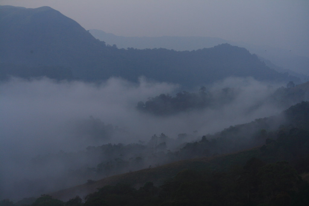
Early morning fog, over Periyar National Park

Valley near Pullupara

Beginning of stream at Kalleppalam

Valley near Pullupara

100330 - 08_37_24 - 5059-XTi

100330 - 08_36_58 - 5054-XTi

100402 - 07_47_01 - 5310-XTi

100328 - 07_12_54 - 4934-XTi

100329 - 10_00_02 - 5041-XTi

100401 - 07_57_00 - 5195-XTi
Topographic Map of Mukkuzhy, Koruthodu, Kerala, India
Find elevation by address:

Places near Mukkuzhy, Koruthodu, Kerala, India:
Inchipara Kotta
Azhutha Shiva Temple
Perunad
Kanayankavayal
Karimala Top
Panchalimedu
Sabarimala Traditional Path
Apachimedu Cardiology Center
Neelimala Cardiology Center
Pampa Ganapathy Kovil
Pamba Car Parking
Neelimala
Pamba
Sarankuthui (சரம் குத்தி - ശരംകുത്തി )
Appachimedu
Sabarimala
Pamba - Sabarimala Road
Sabarimala Temple
Sabarimala Ayyappan Temple
Sannidhanam
Recent Searches:
- Elevation of Corso Fratelli Cairoli, 35, Macerata MC, Italy
- Elevation of Tallevast Rd, Sarasota, FL, USA
- Elevation of 4th St E, Sonoma, CA, USA
- Elevation of Black Hollow Rd, Pennsdale, PA, USA
- Elevation of Oakland Ave, Williamsport, PA, USA
- Elevation of Pedrógão Grande, Portugal
- Elevation of Klee Dr, Martinsburg, WV, USA
- Elevation of Via Roma, Pieranica CR, Italy
- Elevation of Tavkvetili Mountain, Georgia
- Elevation of Hartfords Bluff Cir, Mt Pleasant, SC, USA